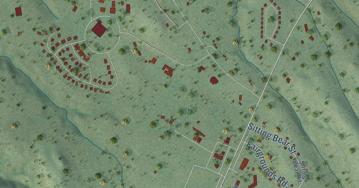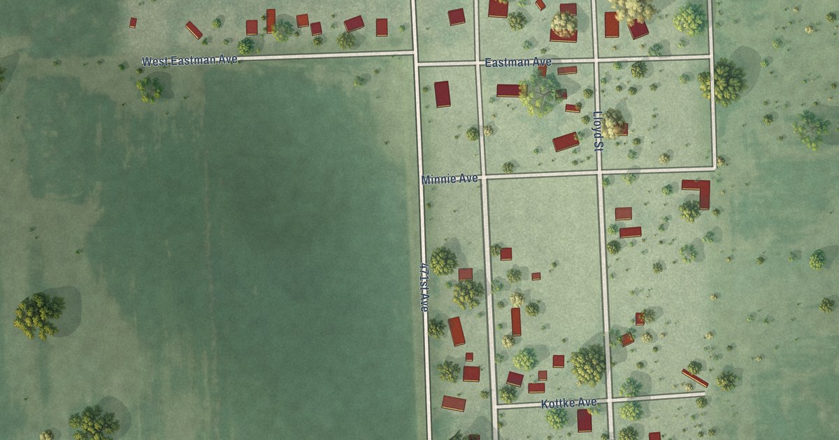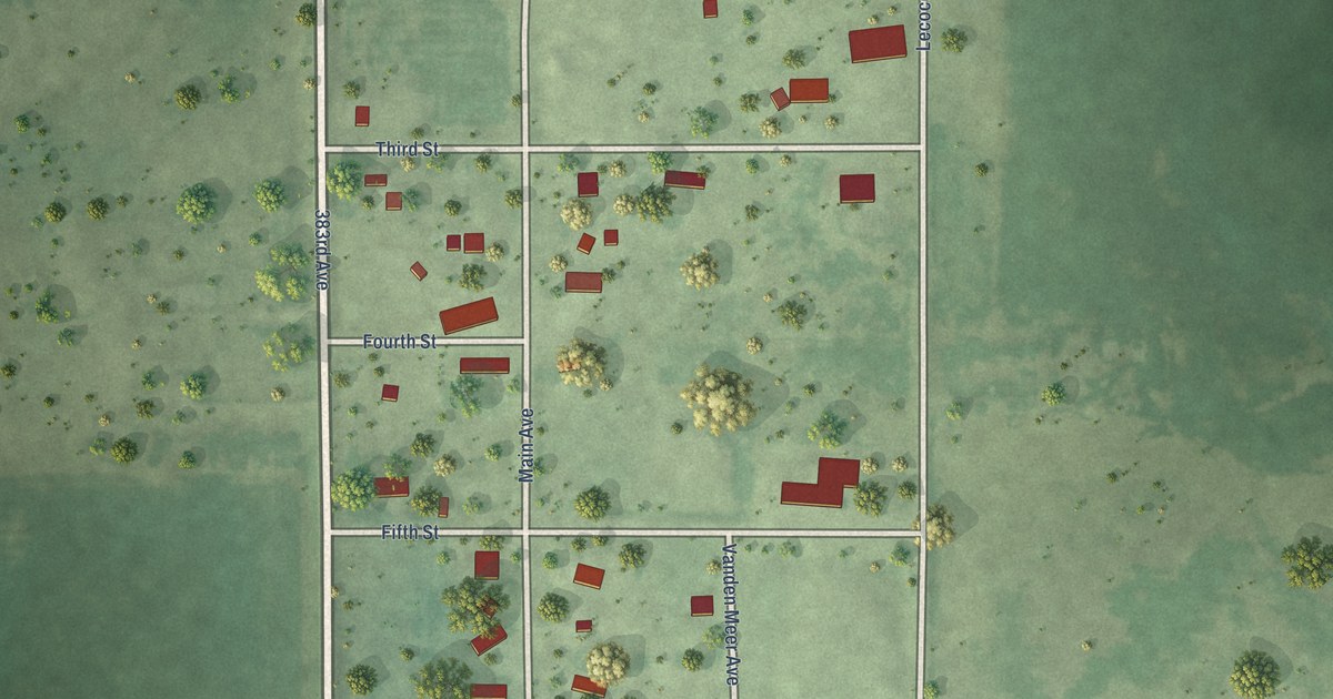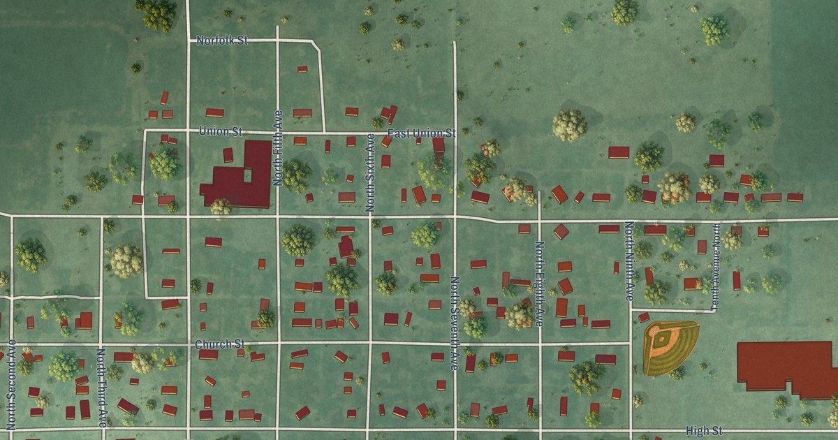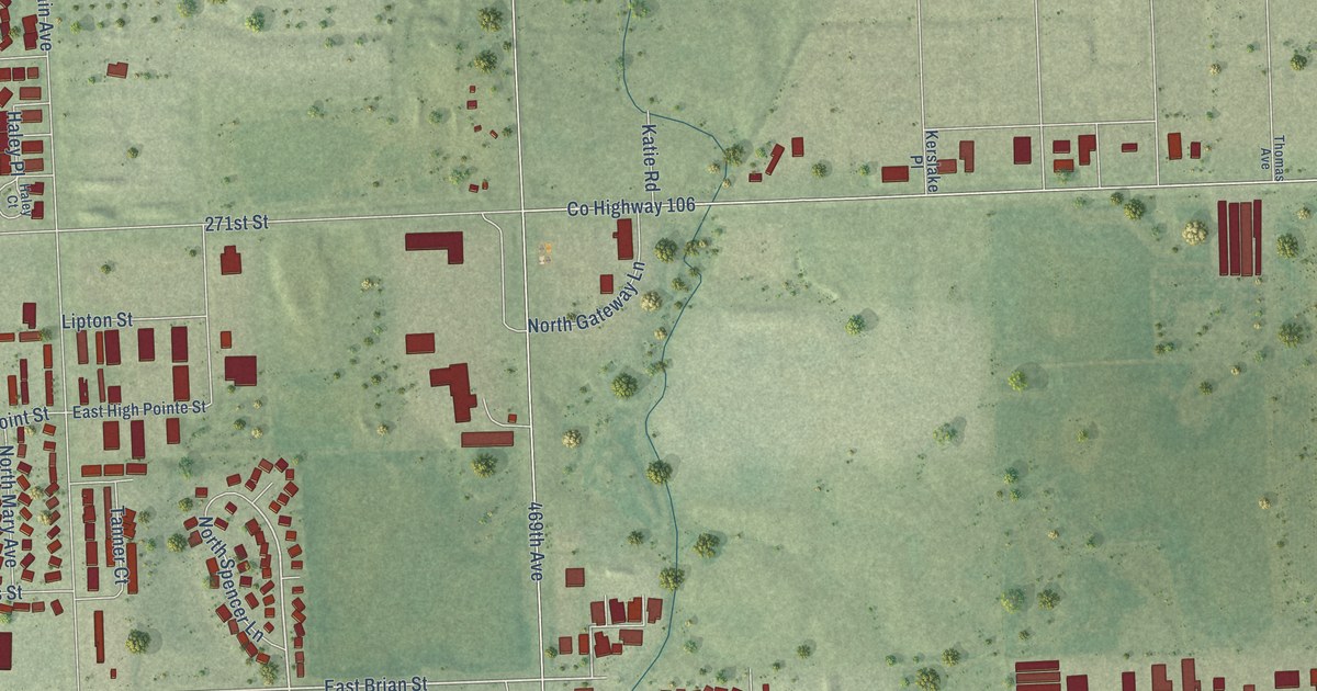
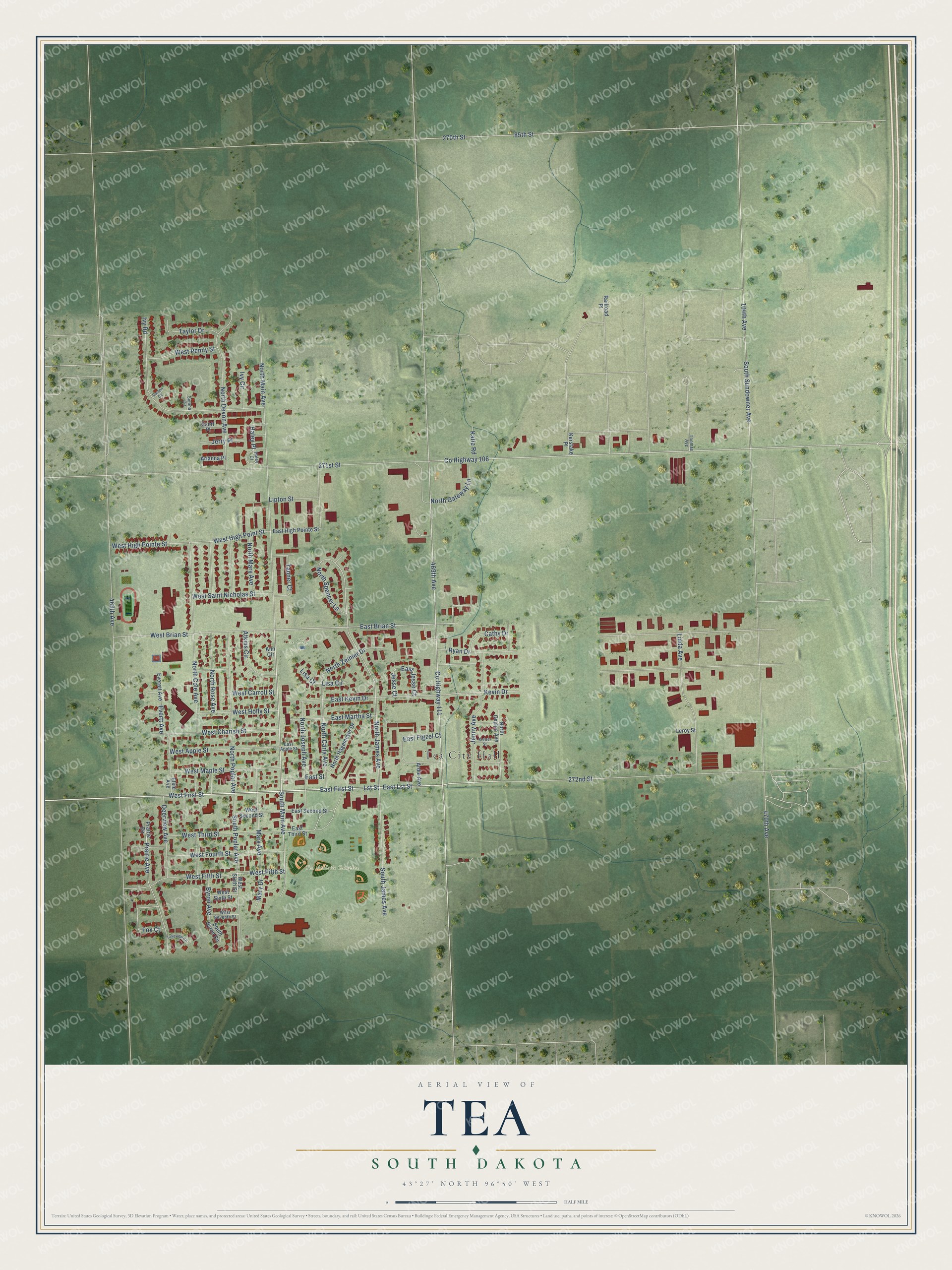
This beautifully detailed map of Tea, South Dakota was created in 2026 using aerial imagery combined with modern topographical, census, street and landmark data. It’s a one-of-a-kind view of Tea that combines accurate data with a vintage aesthetic. The map shows every building in its true location, many of the roads carry their names, and the shaded topographic relief shows the shape of the land.
Explore an aerial view of Tea, South Dakota
On the map you’ll find Tea City Hall, Tea Athletic Complex, and Tea City Park, along with North Main Avenue, East First Street, East Lst Street, Lst Street, County Highway 106, 272nd Street, South Main Avenue, West Fifth Street, East Brian Street, and more. If you look closely you can even find your house accurately drawn in its correct location. Zoom in on the preview to look for yours.
Did you know this about Tea, South Dakota?
From the City of Tea: "Tea is known as the home of Pole Vault Olympian Derek Miles."
Take a closer look at the Tea map
Street and place names on the Tea, South Dakota map
These names are printed on the map of Tea, South Dakota.
Places: Tea City Hall, Tea Athletic Complex and Tea City Park.
Streets and roads: North Main Avenue, East First Street, East Lst Street, Lst Street, County Highway 106, 272nd Street, South Main Avenue, West Fifth Street, East Brian Street, North James Avenue, West High Point Street, Fox Court.
More street names, A to Z
85th Street, 104th Avenue, 270th Street, 271st Street, 468th Avenue, 469th Avenue, 470th Avenue, Ann Circle, Ardie Avenue, Arianna Place, Atkins Circle, Brewer Street, Byron Avenue, Carson Circle, Cathy Drive, County Highway 111, Deerview Avenue, East Apple Street, East Figzel Court, East High Pointe Street, East Jesse Court, East Kevin Drive, East Martha Street, East Second Street, East Street, East Third Street, Elsie Avenue, Everett Avenue, Evertt Avenue, Haley Court, Haley Place, Ivy Circle, Ivy Road, Jenny Avenue, Jerry Place, Jesse Court, Katie Road, Kerslake Place, Kevin Drive, Lakeview Cr, Leroy Street, Linda Avenue, Lipton Street, Lisa Circle, Lisa Court, Mary Avenue, Mary Drive, North Carla Avenue, North Ceylon Avenue, North Cole Avenue, North Devon Avenue, North Gateway Lane, North Hagemeyer Drive, North Joseph Avenue, North Mary Avenue, North Poplar Avenue, North Rose Avenue, North Spencer Lane, North Zelmer Drive, Prairie Avenue, Prairie Circle, Railroad Place, Ryan Drive, Scott Place, Sienna Circle, South Byron Circle, South James Avenue, South Poplar Avenue, South Sundowner Avenue, Tanner Court, Taylor Drive, Thomas Avenue, West Apple Street, West Brian Street, West Carroll Street, West Charish Street, West First Street, West Fourth Street, West High Pointe Street, West Holly Street, West Maple Street, West Penny Street, West Saint Nicholas Street, West Second Street, West Seventh Street, West Sixth Street, West Third Street.
See the Tea, South Dakota map on a wall
The Tea map as an 18 x 24 inch print in a black frame.

This beautifully detailed map of Tea makes an attractive addition to your office, library, or den, and it can even be used to teach children the geography and history of the area. It also makes a great gift for someone who left Tea and still calls it home. When you’re done exploring, click here to get your copy of the Tea map.