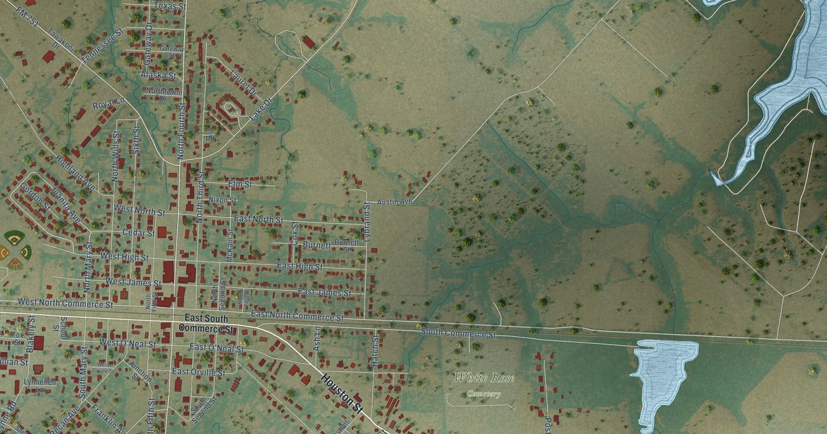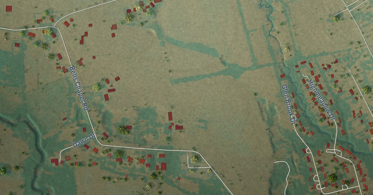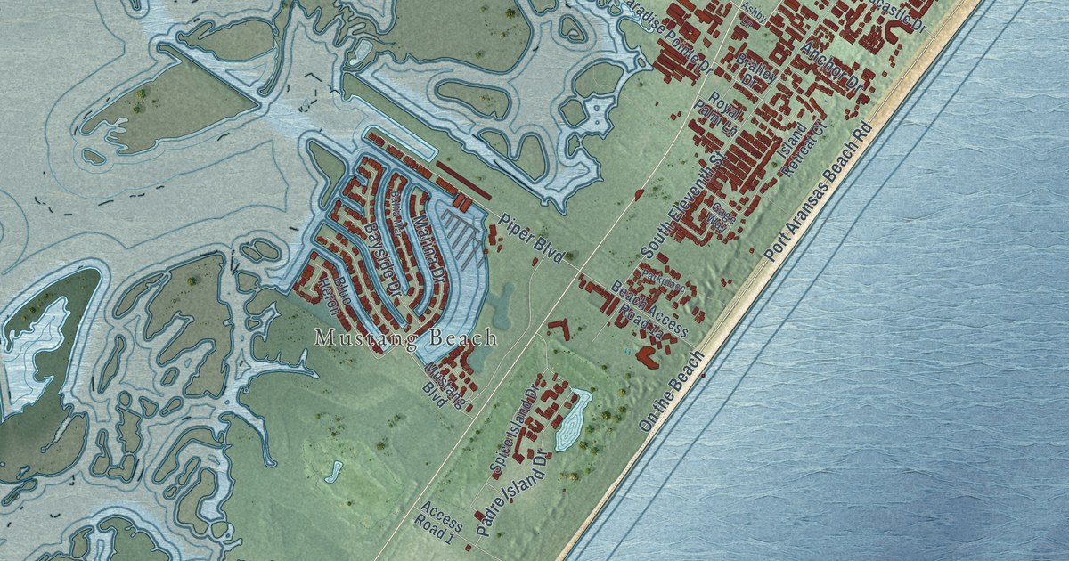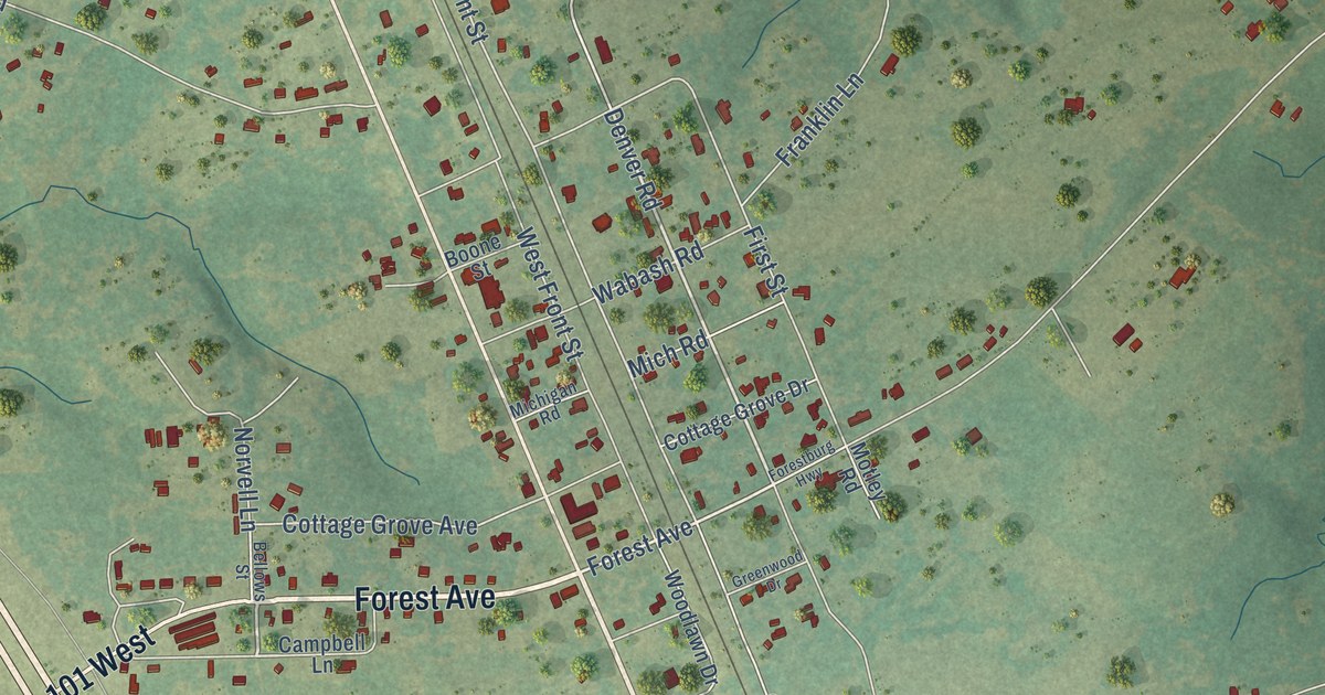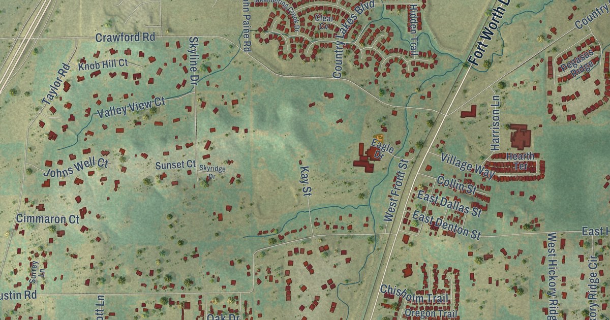
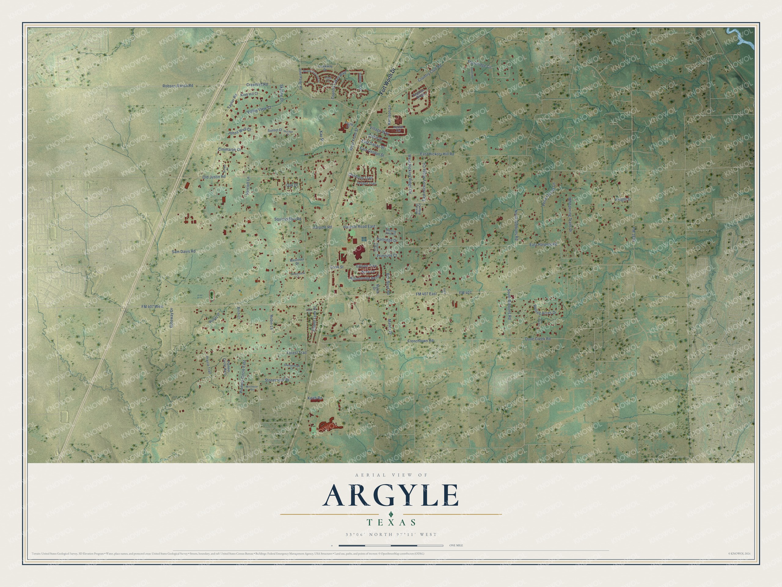
This beautifully detailed map of Argyle, Texas was created in 2026 using aerial imagery combined with modern topographical, census, street and landmark data. It’s a one-of-a-kind view of Argyle that combines accurate data with a vintage aesthetic. The map shows every building in its true location, many of the roads carry their names, and the shaded topographic relief shows the shape of the land.
Explore an aerial view of Argyle, Texas
On the map you’ll find Fort Worth Drive, Harpole Road East, Dove Creek Road, Harpole Road, FM 407, FM 407 East, East Harpole Road, Stonecrest Road, FM 407 West, Sam Davis Road, Frenchtown Road, Old Justin Road, and more. If you look closely you can even find your house accurately drawn in its correct location. Zoom in on the preview to look for yours.
Did you know this piece of Argyle, Texas history?
From the Handbook of Texas: "Argyle was founded on November 7, 1881, when James Morrill was given the authority to build and maintain a depot, switches, and side tracks there. The community was named Argyle by a railroad surveyor, after a garden in France."
Take a closer look at the Argyle map
Street names on the Argyle, Texas map
These names are printed on the map of Argyle, Texas.
Streets and roads: Fort Worth Drive, Harpole Road East, Dove Creek Road, Harpole Road, FM 407, FM 407 East, East Harpole Road, Stonecrest Road, FM 407 West, Sam Davis Road, Frenchtown Road, Old Justin Road.
More street names, A to Z
Bains Court, Ben Boyd Road, Birch Court, Boonesville Bend, Charyl Lynn Drive, Chisholm Trail, Cimmaron Court, Clear Cv, Cochran Road, Collin Street, Cook Street, Country Club Road, Country Lakes Boulevard, Crawford Road, Creekway Drive, Eagle Drive, East Dallas Street, East Denton Street, East Hickory Hill Road, East Hickory Ridge Circle, Ellison Trce, FM 1830, Forest Trail, Gateway Drive, Harrison Lane, Hearth Terrace, Herriott Lane, Hickory Ridge Court, Hidden Trail, John Paine Road, Johns Well Court, Joyce Lane, Kay Street, Keith Road, Knight Street, Knob Hill Court, Manor Drive, Meandering Creek Drive, Morning Dove Court, Myrtle Drive, Nora Lane, North Gibbons Road, Oak Drive, Oregon Trail, Partridge Drive, Pecan Acres Lane, Pegasus Ridge, Pioneer Circle East, Pioneer Circle West, Prairie Trail, Primrose Court, Robin Lane, Robson Ranch Road, Rolling Acres Drive, Shadow Wood Drive, Shenandoah Court, Skyline Drive, Skyridge Drive, South Gibbons Road, Squirrel Run Road, Sunset Court, Surrey Lane, Taylor Road, Thornridge Circle, Thornridge Court, Timberview Court, Valley View Court, Village Way, West Front Street, West Hickory Ridge Circle, Westover Drive, Whispering Trails Drive, Winchester Pass, Woods Drive.
See the Argyle, Texas map on a wall
The Argyle map as an 18 x 24 inch print in a black frame.

This beautifully detailed map of Argyle makes an attractive addition to your office, library, or den, and it can even be used to teach children the geography and history of the area. It also makes a great gift for anyone with Argyle roots. When you’re done exploring, click here to get your copy of the Argyle map.