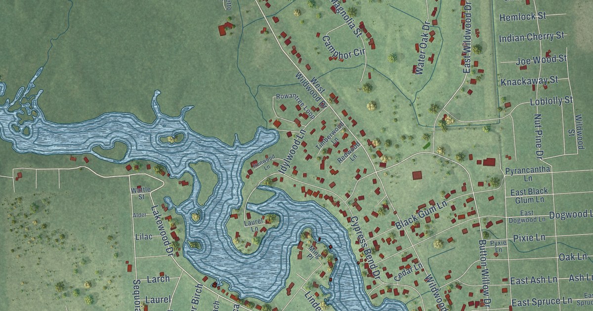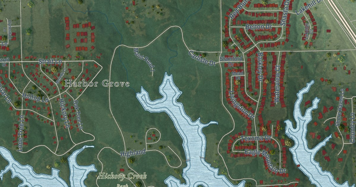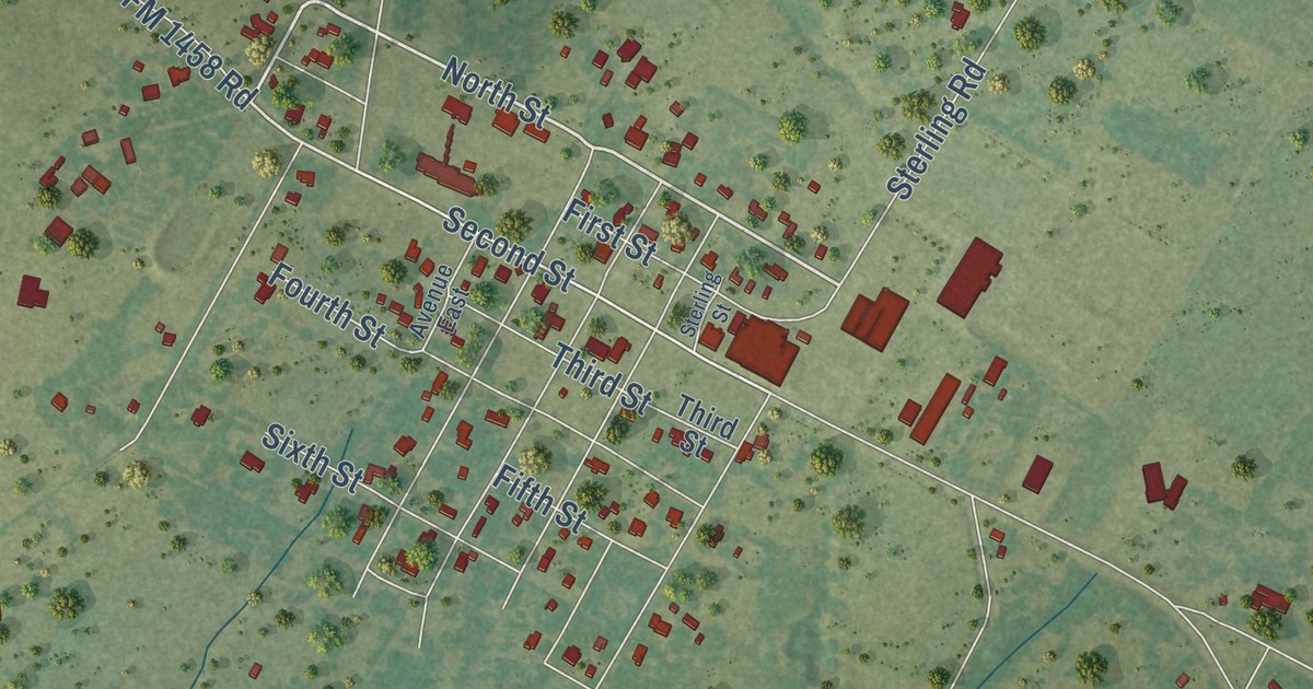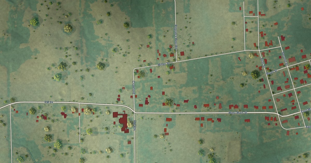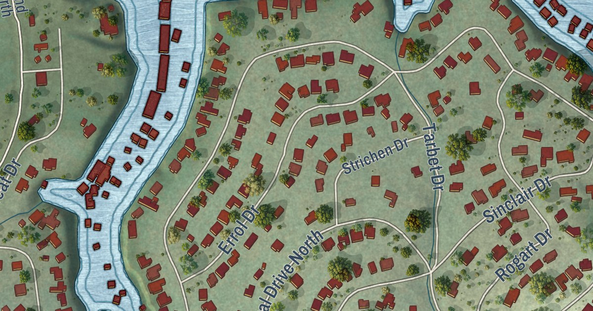
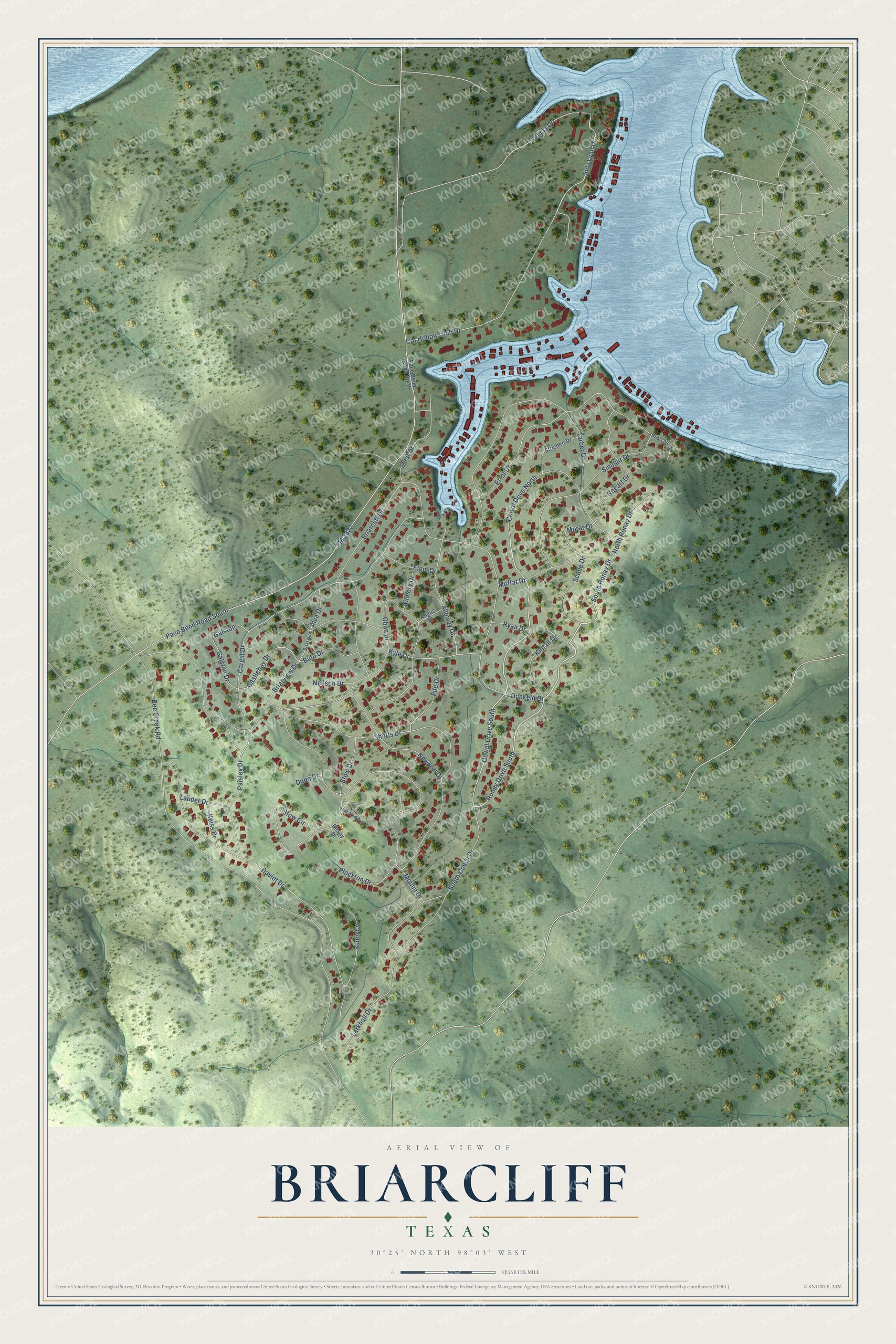
This beautifully detailed map of Briarcliff, Texas was created in 2026 using aerial imagery combined with modern topographical, census, street and landmark data. It’s a one-of-a-kind view of Briarcliff that combines accurate data with a vintage aesthetic. The map shows every building in its true location, many of the roads carry their names, and the shaded topographic relief shows the shape of the land.
Explore an aerial view of Briarcliff, Texas
On the map you’ll find South Ronay Drive, Cat Hollow Club Drive, Judy Lynn Drive, Paisley Drive, Castlebay Drive, Morar Drive, Briarcliff Drive, Bee Creek Road, FM 2322, Moulin Drive, Pace Bend Road South, Daviot Drive, and more. If you look closely you can even find your house accurately drawn in its correct location. Zoom in on the preview to look for yours.
Did you know this piece of Briarcliff, Texas history?
Briarcliff began as a Lake Travis resort development in the 1960s. Summer homes, country clubs, and water sports supplied the attractions around which the village first grew. That’s from the Handbook of Texas.
Take a closer look at the Briarcliff map
Street names on the Briarcliff, Texas map
These names are printed on the map of Briarcliff, Texas.
Streets and roads: South Ronay Drive, Ronay Drive South, Cowal Drive South, Cat Hollow Club Drive, Judy Lynn Drive, Paisley Drive, Castlebay Drive, Morar Drive, Briarcliff Drive, Bee Creek Road, FM 2322, Moulin Drive.
More street names, A to Z
Alloway Drive, Alva Drive, Angus Drive, Birsay Drive, Briarcliff Cv, Briarview, Briarview Drive, Bute Drive, Cargill Drive, Cowal Drive North, Daviot Drive, Dunkeld Drive, Dunn Drive, Elgin Drive, Errol Drive, Felicia Drive, Fife Drive, Four Hundred Avenue, Galston, Galston Drive, Keiss Drive, Kilmory Drive, Kintail Drive, Kyle Drive, Larkhall Drive, Lauder Drive, Moffat Drive, Neilson Drive, Newport Drive, North Ronay Drive, Oban Drive, Pace Bend Road North, Pace Bend Road South, Plockton Drive, Rogart Drive, Ryan Drive, Salen Cv, Scone Drive, Shotts Drive, Sinclair Drive, Sleat Drive, South Cowal Drive, Stow Circle, Stow Drive, Strichen Drive, Tarbet Drive.
See the Briarcliff, Texas map on a wall
The Briarcliff map as an 18 x 24 inch print in a black frame.

This beautifully detailed map of Briarcliff makes an attractive addition to your office, library, or den, and it can even be used to teach children the geography and history of the area. It also makes a great gift for anyone who grew up in Briarcliff or moved away. When you’re done exploring, click here to get your copy of the Briarcliff map.