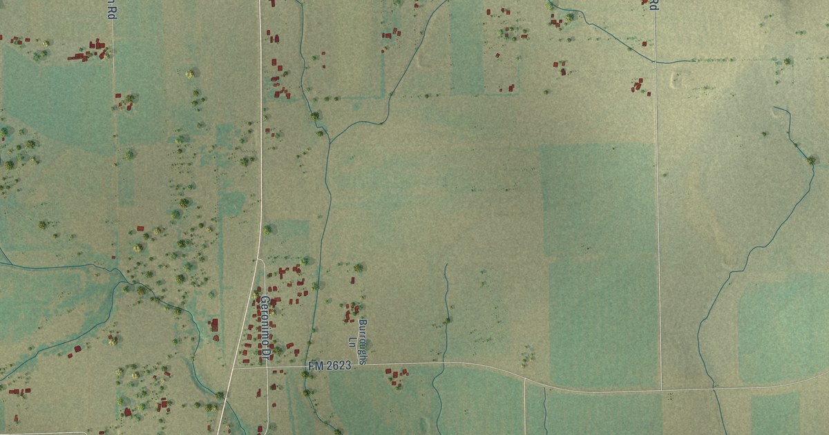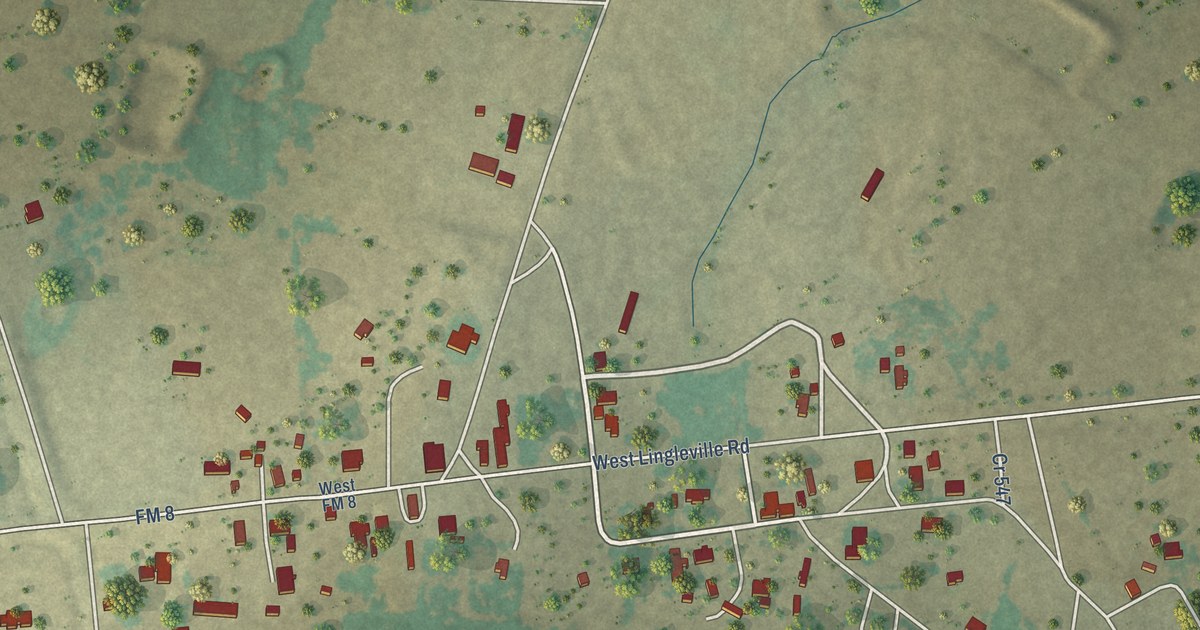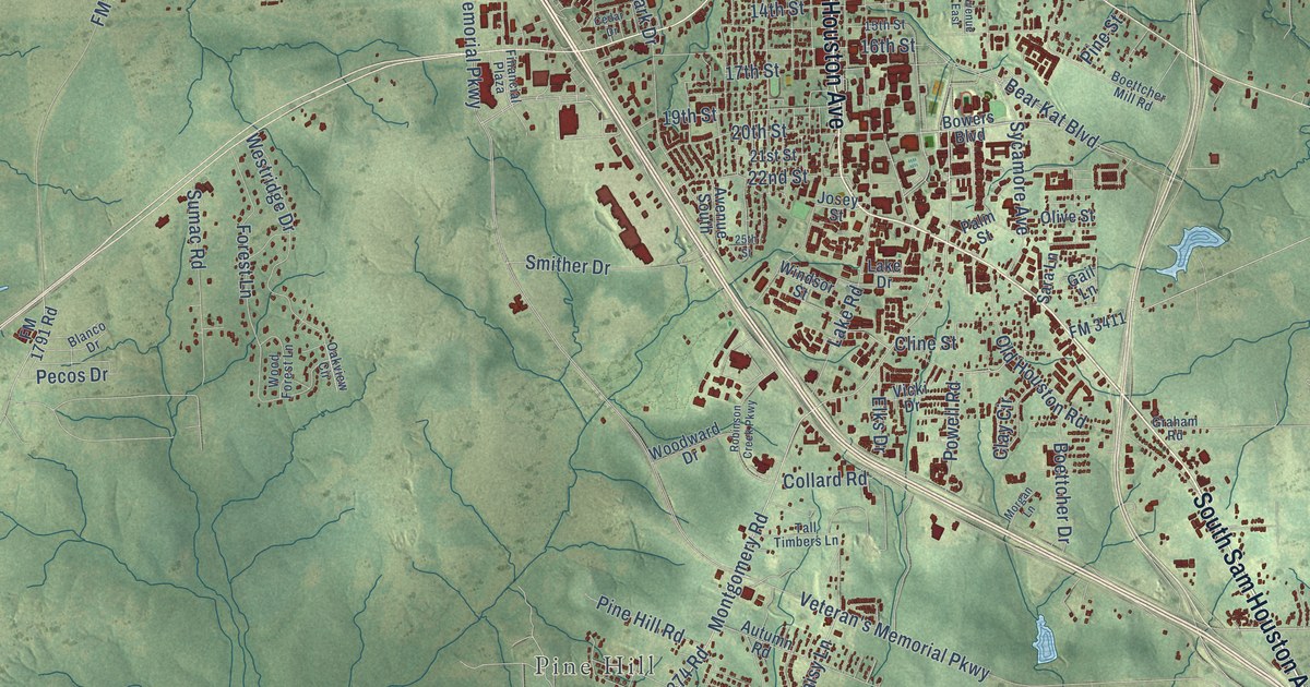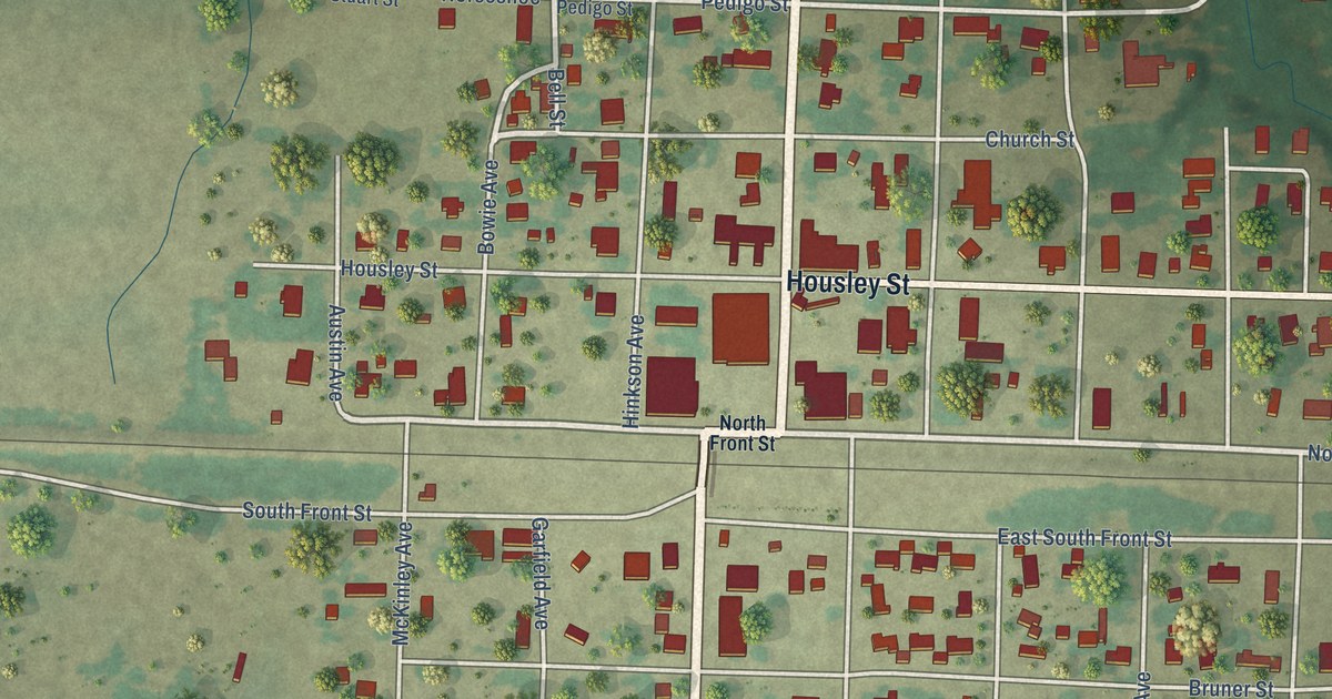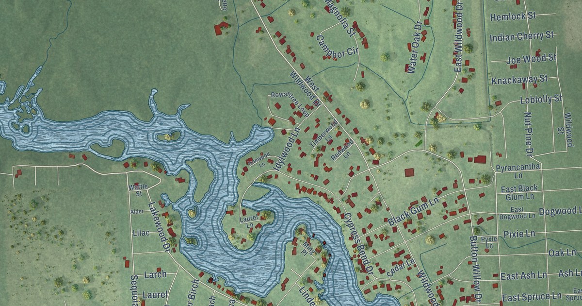
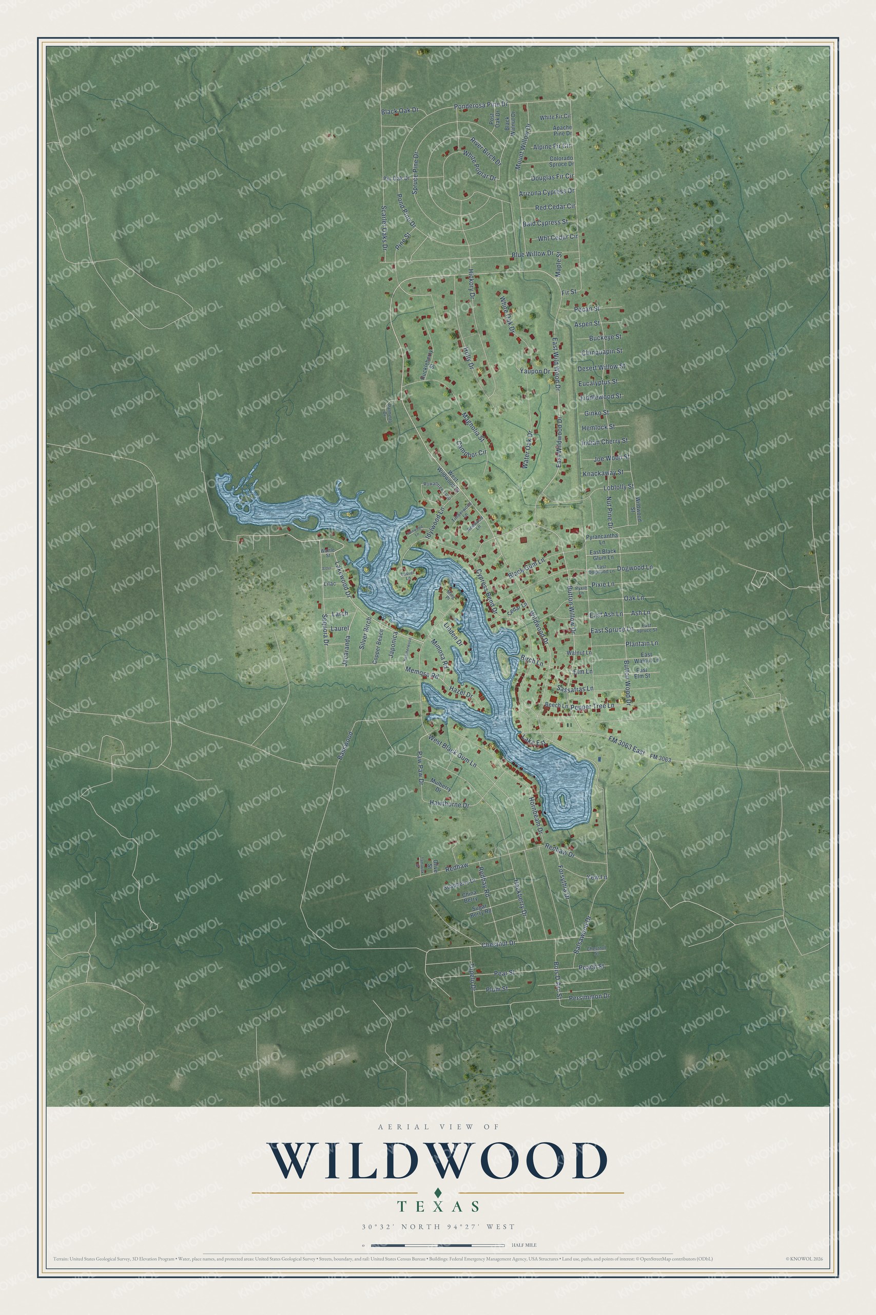
This beautifully detailed map of Wildwood, Texas was created in 2026 using aerial imagery combined with modern topographical, census, street and landmark data. It's a modern aerial view of Wildwood in Tyler County, Texas, that combines modern data with a vintage aesthetic. The roads feature printed names, and if you look closely you can find your exact house accurately shown in its correct location.
Explore an aerial view of Wildwood, Texas
On this map you'll find Lakewood Drive, Mimosa Road, East Wildwood Drive, Button Willow Drive, Chestnut Drive, Sequoia Drive, Blue Willow Drive, Wildwood Drive, Pear Street, Memosa Road, Cypress Bend Drive, FM 3063 East, and more. Each red shape is a building, so zoom in on the preview and look for yours.
Wildwood is a community in Tyler County. The Census Bureau counted 1,121 people here in 2020. Wildwood sits about 6 miles south of Warren, 11 miles south of Ivanhoe and 13 miles northwest of Kountze. The map prints the town name in its title panel, with the coordinates below it.
Take a closer look at the Wildwood map
Names on this map
These names are printed on this map.
Streets and roads: Lakewood Drive, Mimosa Road, East Wildwood Drive, Button Willow Drive, Chestnut Drive, Sequoia Drive, Blue Willow Drive, Wildwood Drive, Pear Street, Memosa Road, Cypress Bend Drive, FM 3063 East.
More street names, A to Z
Alder, Alpine Fir Circle, Apache Pine Drive, Arizona Cypress Drive, Ash Lane, Aspen Street, Bald Cypress Street, Balsawood Drive, Basswood, Beech Lane, Birch Lane, Black Gum Lane, Black Oak Drive, Black Walnut Drive, Bois D'Arc Street, Buckeye Street, Button Wood Drive, Camphor Circle, Cedar Lane, Chestnut Street, China Berry, Chinquapin Street, Colorado Spruce Drive, Copper Beach, Desert Willow Street, Dogwood Lane, Douglas Fir Circle, East Ash Lane, East Black Glum Lane, East Dogwood Lane, East Elm Street, East Spruce Lane, East Spruce Street, East Walnut Lane, East Wild Wood Drive, Elm Lane, Eucalyptus Street, Fiddlewood Street, Fir Street, FM 3063, Forsythia Drive, Ginko Street, Hackberry Drive, Hawthorne Drive, Hazel Drive, Heatherwood, Hemlock Street, Hickory Drive, Holly Drive, Hornbeam Drive, Huckleberry Street, Idylwood Lane, Indian Cherry Street, Ironwood Lane, Jacaranda, Japonica, Joe Wood Street, Knackaway Street, Lake Est, Larch, Laurel, Laurel Lane, Lilac, Linden Drive, Loblolly Street, Magnolia Street, Maple Street, Ming Place, Mount Willow Drive, Mulberry Drive, Nut Pine Drive, Oak Lane, Olive Street, Palmetto Drive, Paw Paw Drive, Peach Street, Pecan Street, Pepper Tree Lane, Persimmon Drive, Pine Street, Pin Oak Drive, Pixie Lane, Plantain Lane, Plum Street, Ponderosa Pine Drive, Pond Pine Drive, Post Oak Drive, Pyrancantha Lane, Pyxie Lane, Redbay Road, Red Cedar Circle, Redhaw, Redhaw Drive, Redwood Lane, River Birch Drive, Rowantree Loop, Sassafras Lane, Scarlet Oaks Drive, Silver Birch, Soapberry Drive, Spruce Pine Drive, Sugar Berry Road, Tamarisk Street, Timberwood Lane, Topelo Drive, Walnut Lane, Water Oak Drive, Wattle Street, West Black Gum Lane, West Wildwood Drive, White Fir Circle, White Oak Drive, White Poplar Drive, Wht Cedar Circle, Wildwood Street, Yaupon Drive, Yew Lane.
See it on a wall
The Wildwood map as a framed print. Swipe for more.


Created by KNOWOL in 2026. The buildings are small red shapes, the roads carry their printed names, and shaded relief shows the shape of the land. The title panel reads "AERIAL VIEW OF WILDWOOD, TEXAS" with 30°32' NORTH 94°27' WEST.
It looks right in a kitchen, an office or a den, and it's a gift for anyone who grew up in Wildwood or moved away. Open the preview and find your street. See sizes and frames for the Wildwood map.