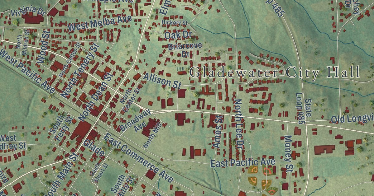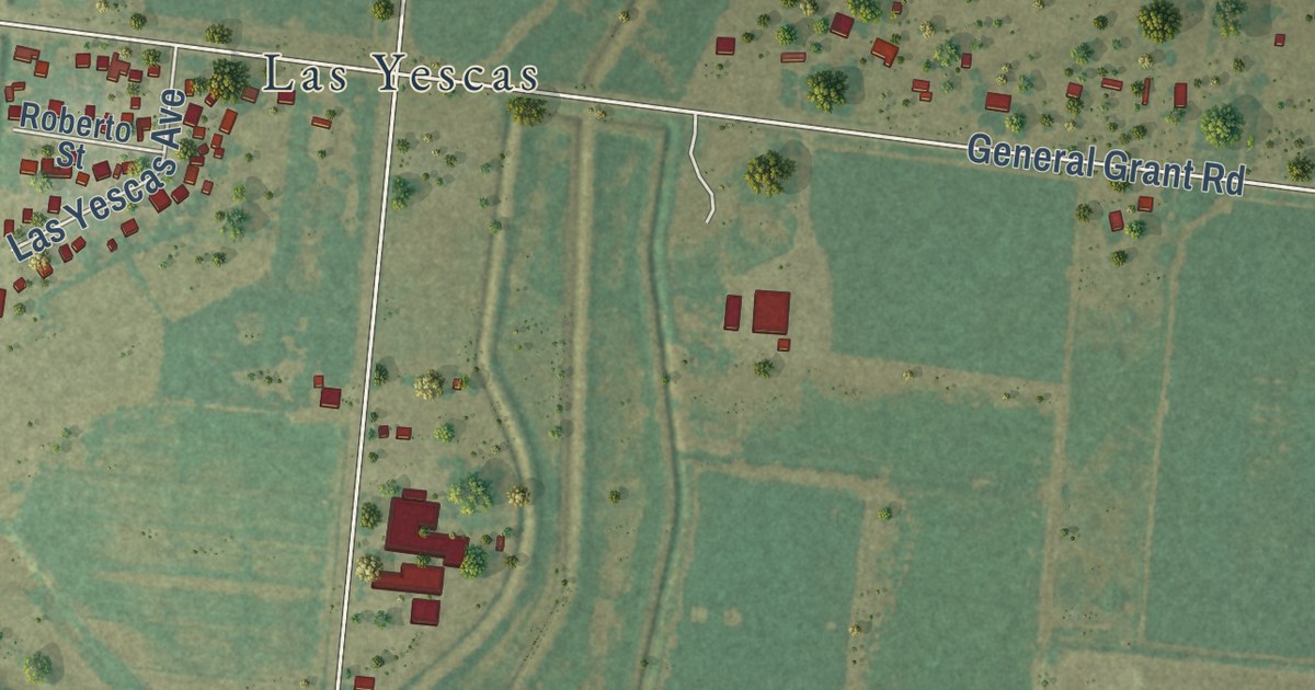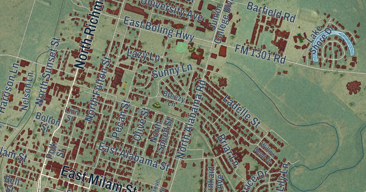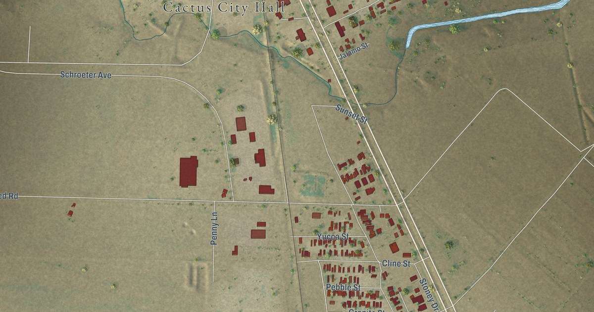
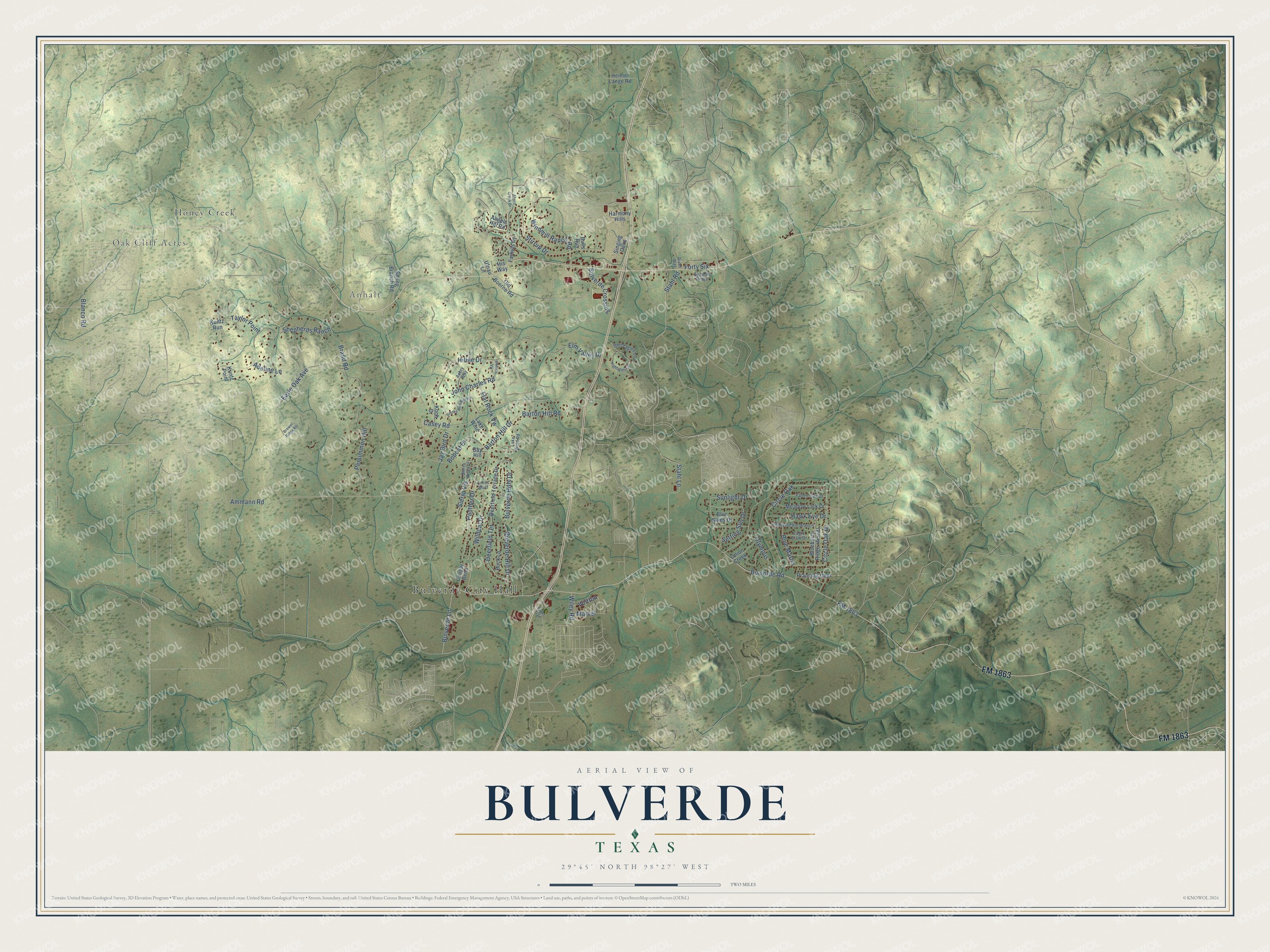
This beautifully detailed map of Bulverde, Texas was created in 2026 using aerial imagery combined with modern topographical, census, street and landmark data. It’s a one-of-a-kind view of Bulverde that combines accurate data with a vintage aesthetic. The map shows every building in its true location, many of the roads carry their names, and the shaded topographic relief shows the shape of the land.
Explore an aerial view of Bulverde, Texas
On the map you’ll find Bulverde City Hall, Oak Cliff Acres, Anhalt, Honey Creek, and Circle Oak, along with FM 1863, Bulverde Lane, Wildcat Drive, Panther Drive, Bulverde Road, Ammann Road, Circle Oak Drive, and more. If you look closely you can even find your house accurately drawn in its correct location. Zoom in on the preview to look for yours.
Did you know this piece of Bulverde, Texas history?
From the Handbook of Texas: "A local post office that operated from 1879 to 1919 was named for Luciano Bulverdo, an early area landowner."
Take a closer look at the Bulverde map
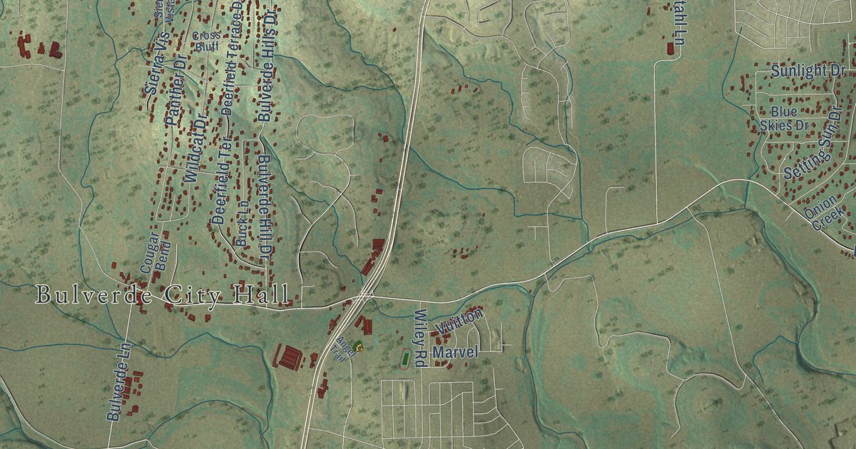
Street and place names on the Bulverde, Texas map
These names are printed on the map of Bulverde, Texas.
Places: Bulverde City Hall, Oak Cliff Acres, Anhalt and Honey Creek.
Streets and roads: FM 1863, Bulverde Lane, Bulverde Road, Ammann Road, Circle Oak, Circle Oak Drive, Blanco Road, Brand Road, Shepherds Ranch, Bulverde Hill Drive, Bulverde Hills Drive, Deerfield Terrace.
More street names, A to Z
Adeline Lane, Ahern Creek Drive, Angels Hill Road, Angel Trail, Aubry Way, Barton Hill Drive, Barton Hill Road, Bay Hill, Blue Martin, Blue Skies Drive, Bobcat Drive, Brewer Ridge Road, Buck Lane, Bulls Run, Bulverde Crossing, Casey Road, Cougar Bend, Cross Bluff, Deerfield Terrace Drive, Eagle Claw Drive, Earle Oak Avenue, Elm Valley Drive, Fallen Oak Drive, Farhills Drive, Flat Rock Vw, Forty Six, Gleneagles Lane, Harmony Hills, Hawk Eye Drive, Heimer Lange Road, Highlands Circle, Hiline Drive, His Way, Honeysuckle Branch, Jay Bird Drive, John Charles Road, Koch Drive, Kuntz Point, Kuntz Run, Lake Wind, Lake Wind Road, Marvel, Meadow Lark Drive, Monica Vw, Old Boerne Road, Olympus, Onion Creek, Panther Drive, Persimmon Hill, Prancing Deer, River Way, Setting Sun Drive, Shadow Ridge, Sierra Vis, Sierra Vista Drive, Singing Oaks, Smoke Rise Canyon, Spring Branch Road, Stahl Lane, Stahl Road, Stirrup Drive, Sunlight Drive, Taylor Point, Ufnau Lane, Vuitton, Wildcat Drive, Wiley Road, Windmill Ranch Road.
See the Bulverde, Texas map on a wall
The Bulverde map as an 18 x 24 inch print in a black frame.

This beautifully detailed map of Bulverde makes an attractive addition to your office, library, or den, and it can even be used to teach children the geography and history of the area. It also makes a great gift for someone who left Bulverde and still calls it home. When you’re done exploring, click here to get your copy of the Bulverde map.