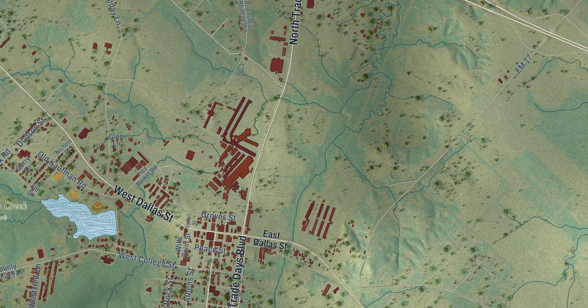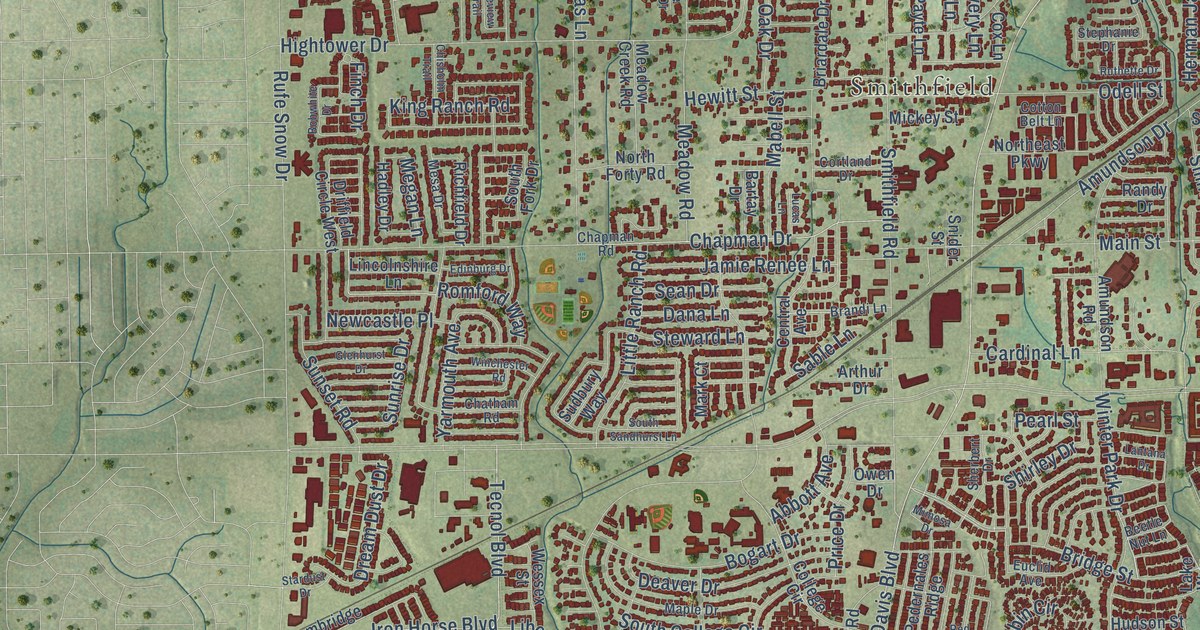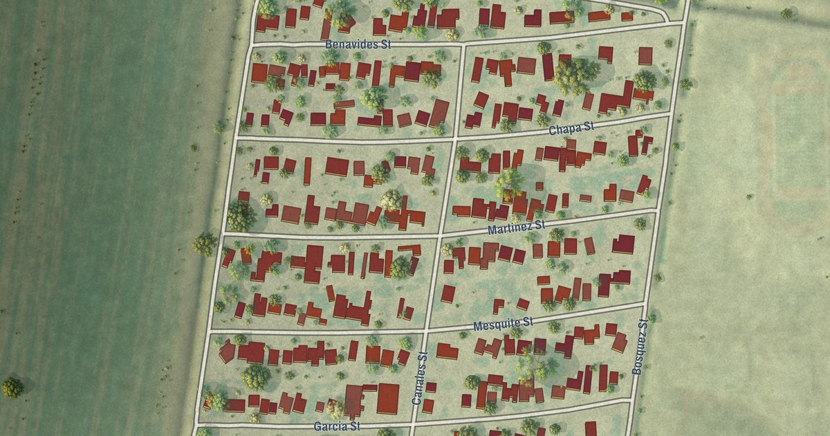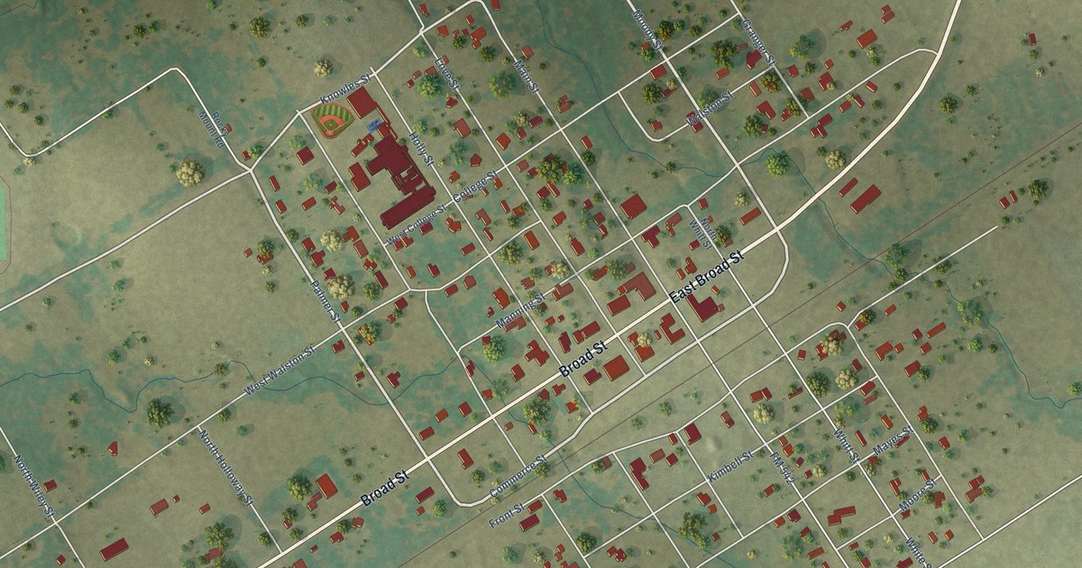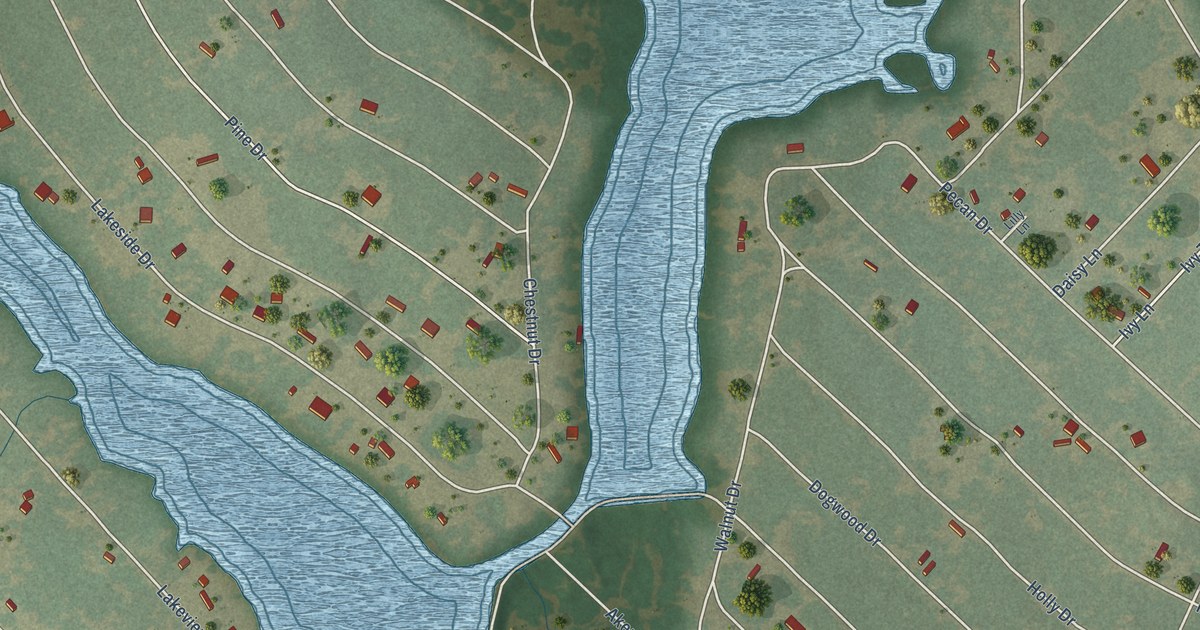
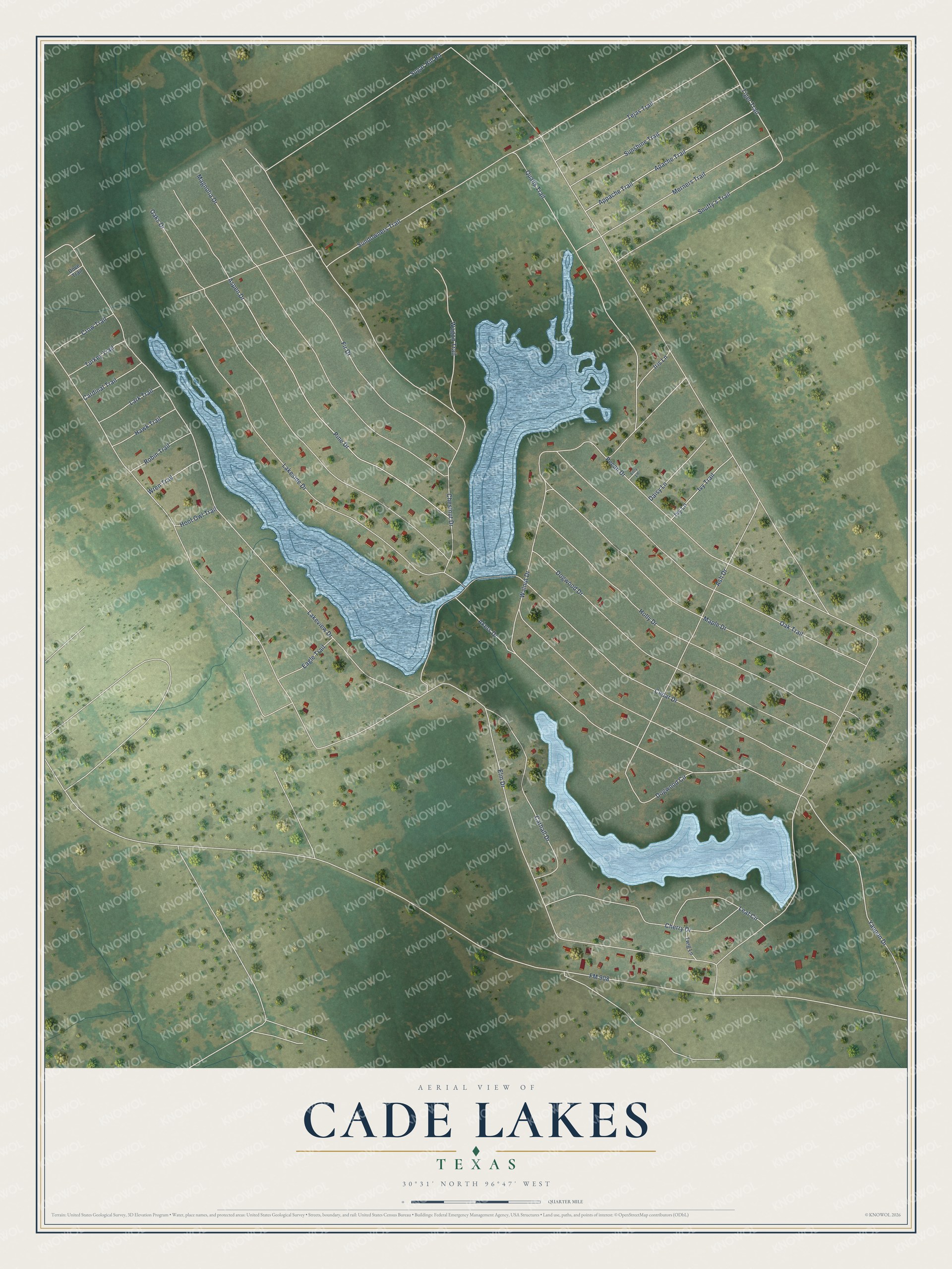
This beautifully detailed map of Cade Lakes, Texas was created in 2026 using aerial imagery combined with modern topographical, census, street and landmark data. It's a modern aerial view of Cade Lakes in Burleson County, Texas, that combines modern data with a vintage aesthetic. The roads feature printed names, and if you look closely you can find your exact house accurately shown in its correct location.
Explore an aerial view of Cade Lakes, Texas
On this map you'll find Elm Drive, Sugar Hill Road, Pecan Drive, FM 908, Lakeview Drive, Yaupon Drive, Cedar Drive, Chestnut Drive, Walnut Drive, Oaks Drive, Pine Drive, Sundowners Trail, and more. Each red shape is a building, so zoom in on the preview and look for yours.
Every town has a first chapter, and Cade Lakes is no exception. The Handbook of Texas puts it this way: "Shiloh is a suburban community on the shores of East and West Cade lakes near County Road 908 four miles west of Caldwell in western Burleson County. Anglo-American settlement in the area began in the late 1830s."
Cade Lakes is a community in Burleson County. The Census Bureau counted 507 people here in 2020.
Take a closer look at the Cade Lakes map
Names on this map
These names are printed on this map.
Streets and roads: Elm Drive, Sugar Hill Road, Pecan Drive, FM 908, Lakeview Drive, Yaupon Drive, Cedar Drive, Chestnut Drive, Walnut Drive, Oaks Drive, Pine Drive, Sundowners Trail.
More street names, A to Z
Akers Drive, Apache Trail, Appache Trail, Ash Drive, Aspen Drive, Cardinal Trail, Carhall Drive, Cherry Drive, Crow Trail, Daisy Lane, Dogwood Circle, Dogwood Drive, Dove Trail, Eagle Trail, Fir Drive, Hawk Trail, Holly Drive, Hoot Owl Trail, Iris Lane, Ivy Lane, Ivy Trail, Lakeside Drive, Lark Trail, Leaf Circle, Lilly Lane, Magnolia Drive, Maple Drive, Merners Trail, Oak Trail, Qualls Trail, Robin Trail, Snuffy's Trail, Sunshine Trail, Tejas Trail, Tiger Trail, Turkey Trail, Twig Lane, Wagon Trail, Wren Trail.
See it on a wall
The Cade Lakes map as a framed print. Swipe for more.


Created by KNOWOL in 2026. The buildings are small red shapes, the roads carry their printed names, and shaded relief shows the shape of the land. The title panel reads "AERIAL VIEW OF CADE LAKES, TEXAS" with 30°31' NORTH 96°47' WEST.
Hang it in the hallway, the office or the cabin, or give it to someone who left Cade Lakes and still calls it home. Open the preview and look for a street you know. See sizes and frames for the Cade Lakes map.