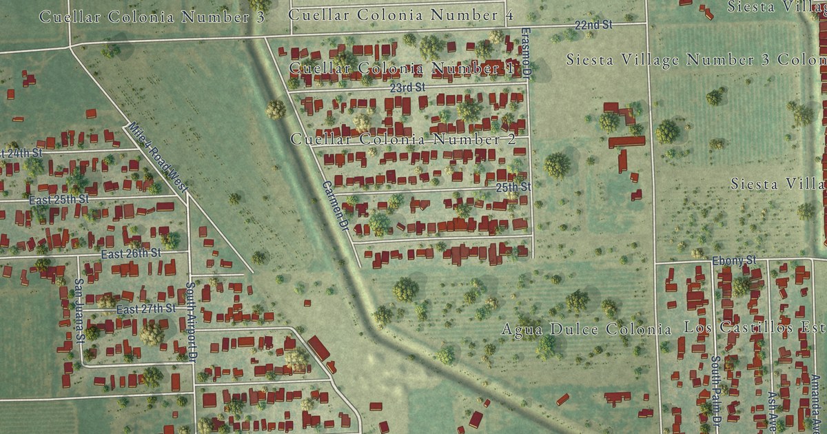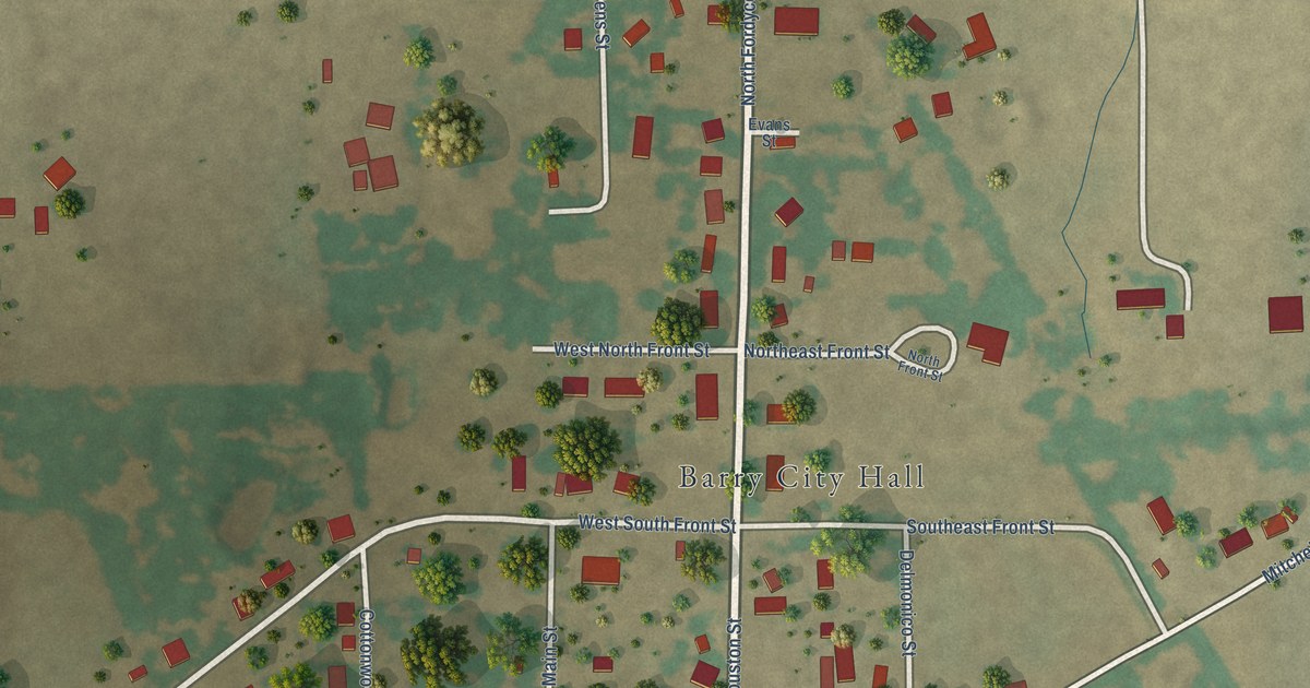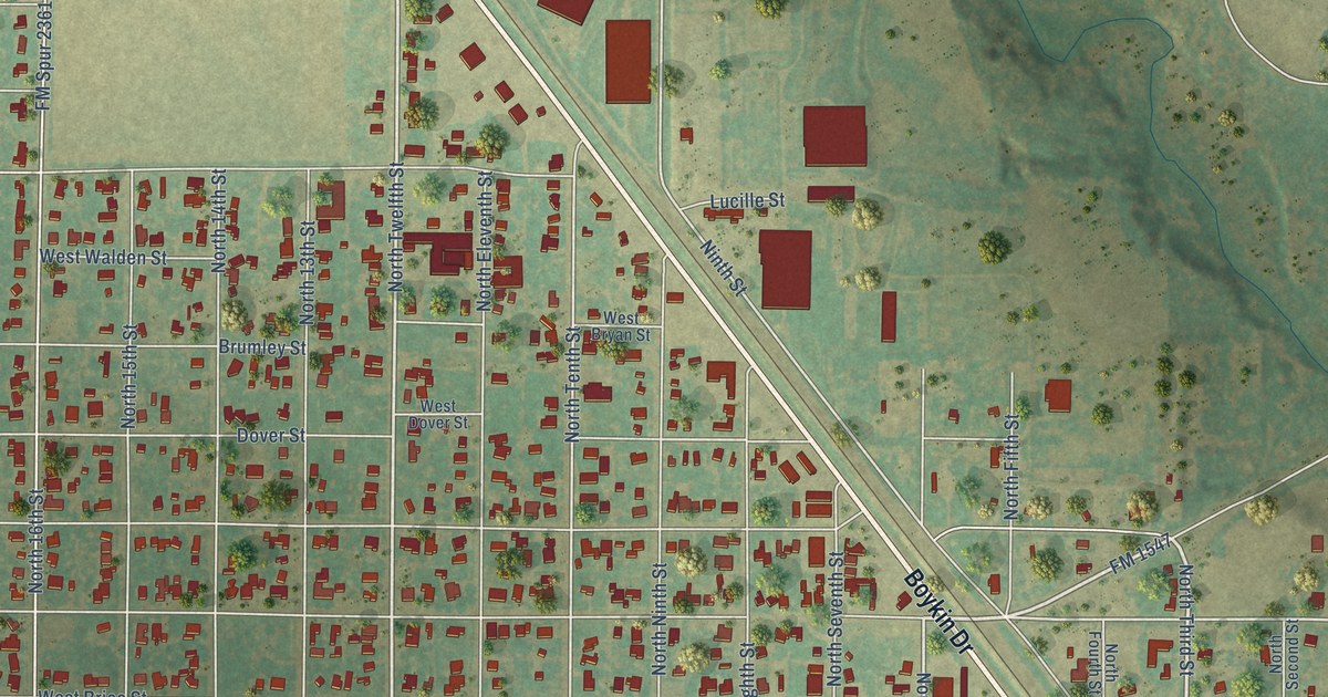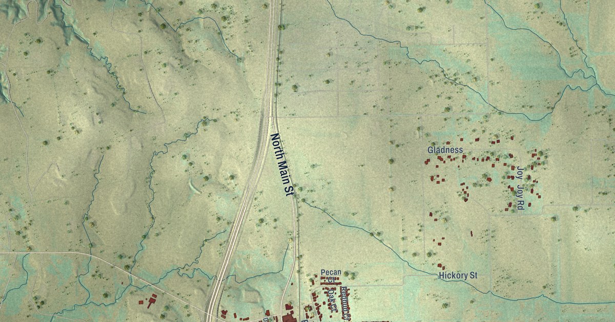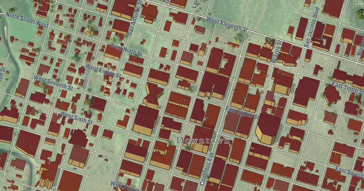
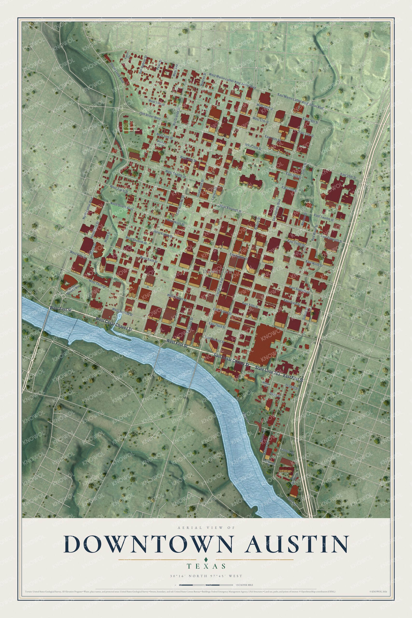
This beautifully detailed map of Downtown Austin, Texas was created in 2026 using aerial imagery combined with modern topographical, census, street and landmark data. It’s a one-of-a-kind view of Downtown Austin that combines accurate data with a vintage aesthetic. The map shows every building in its true location, many of the roads carry their names, and the shaded topographic relief shows the shape of the land.
Explore an aerial view of Downtown Austin, Texas
On the map you’ll find Downtown, Capitol Square, Waterloo Park, and Austin Recreation Center, along with West Cesar Chavez Street, West First Street, State Loop 343, East Cesar Chavez Street, East First Street, West Eleventh Street, Shoal Creek Boulevard, East Eleventh Street, and more. If you look closely you can even find your house accurately drawn in its correct location. Zoom in on the preview to look for yours.
Did You Know?
Edwin Waller laid out downtown Austin for President Mirabeau B. Lamar of the Republic of Texas. His grid filled one square mile on a bluff above the Colorado River. The north and south streets took the names of Texas rivers, set in the same order as on the state map. Tree names on the cross streets became numbers in 1884.
Take a closer look at the Downtown Austin map
Names on this map
These names are printed on this map.
Places: Downtown, Capitol Square, Waterloo Park and Austin Recreation Center.
Streets and roads: West Cesar Chavez Street, West First Street, State Loop 343, East Cesar Chavez Street, East First Street, West Eleventh Street, Shoal Creek Boulevard, East Eleventh Street, East Martin Luther King Junior Boulevard, Congress Avenue, North Lamar Boulevard, West Second Street.
More street names, A to Z
15th Street West, Bierce Street, Bowie Street, Brazos Street, Colorado Street, Cummings Street, Davis Street, Driskill Street, East 13th Street, East 14th Street, East 15th Street, East 16th Street, East 17th Street, East 18th Street, East Avenue, East Eighth Street, East Fifth Street, East Fourth Street, East Ninth Street, East Second Street, East Seventh Street, East Sixth Street, East Tenth Street, East Third Street, East Twelfth Street, Guadalupe Street, Henderson Street, Lambie Street, Lavaca Street, Neches Street, Ninth Street West, Nueces Street, Pearl Street, Rainey Street, Red River Street, Rio Grande Street, River Street, Sabine Street, San Antonio Street, Sandra Muraida Way, San Gabriel Street, San Jacinto Boulevard, San Marcos Street, Trinity Street, Vance Circle, West 13th Street, West 14th Street, West 15th Street, West 16th Street, West 17th Street, West 18th Street, West Avenue, West Eighth Street, West Fifth Street, West Fourth Street, West Martin Luther King Junior Boulevard, West Ninth Street, West Seventh Street, West Sixth Street, West Tenth Street, West Third Street, West Twelfth Street, Willow Street, Wood Street.
See it on a wall
The Downtown Austin map as a framed print. Swipe for more.


This beautifully detailed map of Downtown Austin makes an attractive addition to your office, library, or den, and it can even be used to teach children the geography and history of the area. It also makes a great gift for someone who left Downtown Austin and still calls it home. When you’re done exploring, click here to get your copy of the Downtown Austin map.