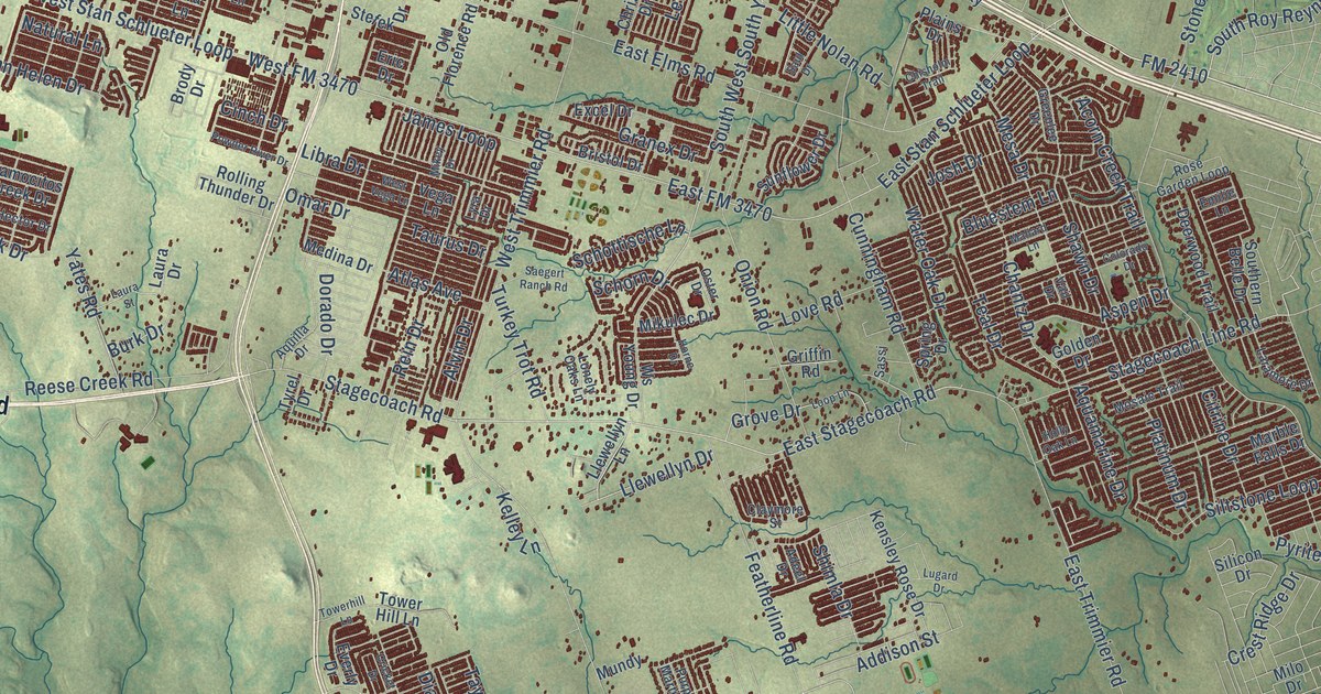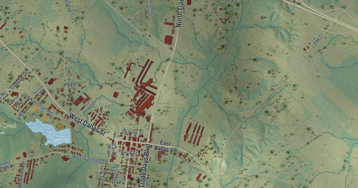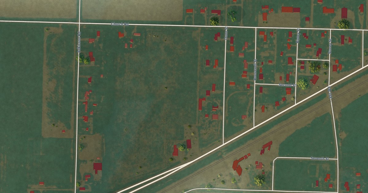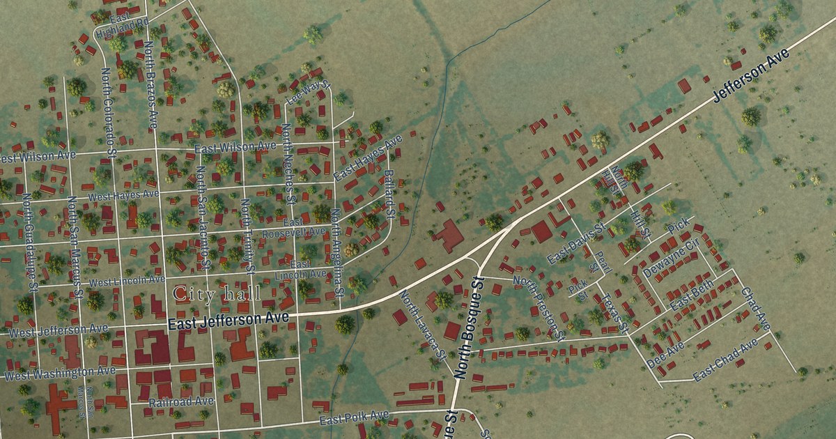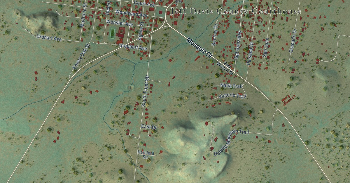
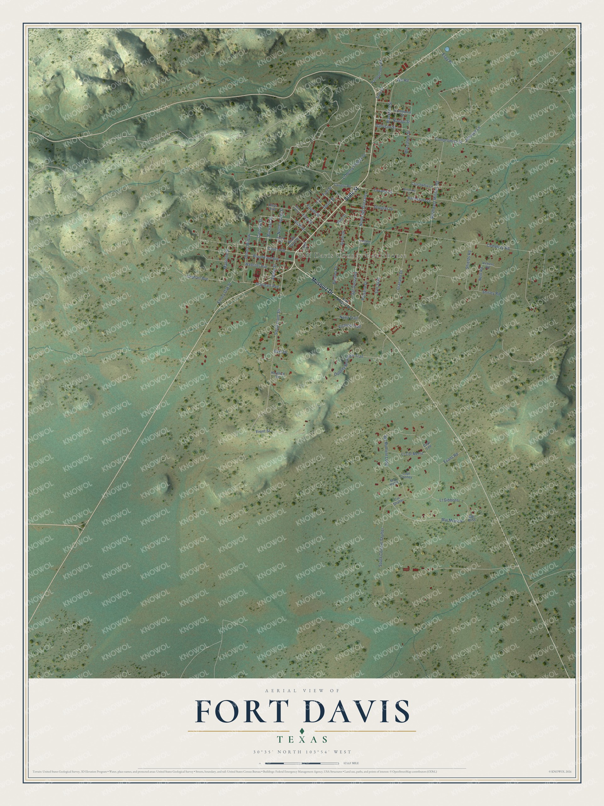
This beautifully detailed map of Fort Davis, Texas was created in 2026 using aerial imagery combined with modern topographical, census, street and landmark data. It's a modern aerial view of Fort Davis in Jeff Davis County, Texas, that combines modern data with a vintage aesthetic. The roads feature printed names, and if you look closely you can find your exact house accurately shown in its correct location.
Explore an aerial view of Fort Davis, Texas
On this map you'll find Jeff Davis County Courthouse, Musquiz Drive, State Street, Buckeye Street, Sgt Gonzales, North Sgt Gonzalez, North Agave Street, Maj Morrow, Lt Gibbons, Sixth Street, Fourth Street, Compromise Street, and more. Each red shape is a building, so zoom in on the preview and look for yours.
Every town has a first chapter, and Fort Davis is no exception. The National Park Service puts it this way: "On October 23, 1854, General Persifor F. Smith, in command of the Department of Texas, issued the order officially establishing Fort Davis. Smith, who had personally selected the site, named it in honor of the Secretary of War, Jefferson Davis." A young lieutenant who arrived in 1855 wrote that it was the most beautifully situated post he had ever seen, set in a narrow canyon with walls about 200 feet high.
Fort Davis is a community in Jeff Davis County. The Census Bureau counted 1,024 people here in 2020.
Take a closer look at the Fort Davis map
Names on this map
These names are printed on this map.
Places: Jeff Davis County Courthouse.
Streets and roads: Musquiz Drive, State Street, Buckeye Street, Sgt Gonzales, North Sgt Gonzalez, North Agave Street, Maj Morrow, Lt Gibbons, Sixth Street, Fourth Street, Compromise Street, Front Street.
More street names, A to Z
Agave Street, Alamo Avenue, Antelope Drive, Bentley Drive, Blackfoot Street, Bloys Avenue, Bullsnake Lane, Capt Cooney, Capt Lee, Catclaw Street, Cavalry Lane, Cavalry Road, Cemetery Road, Coachwhip Lane, Col Shafter, Commerce Street, Court Avenue, Davis Street, Desert Willow, Dolores Mountain Trail, Douglas Drive, East Drive, East Musquiz Drive, Emory Oak Street, Espy Place, Evans Road, Fifth Street, First Street, Fort Street, Garrison Street, Granado Drive, Grant Drive, Hereford Str, Johnson Lane, Jpe Road, Limpia Street, Lt Col Merrit, Lt Henry Flipper Drive, Madrone Street, Maj Bliss, Maj Hatch, Mescalero Street, Nana Trail, Navajo Street, Neill Road, North Davis Street, Northwest Military Road, Painted Trees Road, Paisano Drive, Rattlesnake Lane, San Juan, Sgt Mulhern Loop, Shields Road, Shirley Road, South Colonel Shafter, South Front Str, Starr Street, Third Street, Urqhart Avenue, Urquhart Avenue, Vickers Road, Victorio Trail, Webster Avenue, West Fifth Street, Woodward Avenue.
See it on a wall
The Fort Davis map as a framed print. Swipe for more.


Created by KNOWOL in 2026. The buildings are small red shapes, the roads carry their printed names, and shaded relief shows the shape of the land. The title panel reads "AERIAL VIEW OF FORT DAVIS, TEXAS" with 30°35' NORTH 103°54' WEST.
Hang it in the hallway, the office or the cabin, or give it to someone who left Fort Davis and still calls it home. Open the preview and look for a street you know. See sizes and frames for the Fort Davis map.