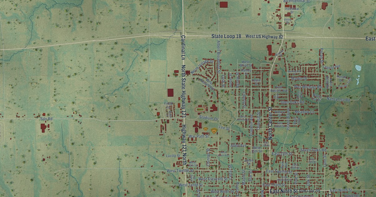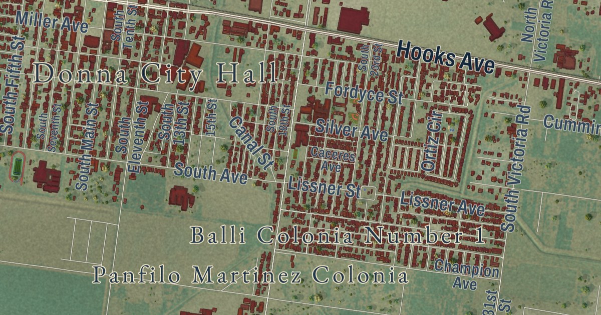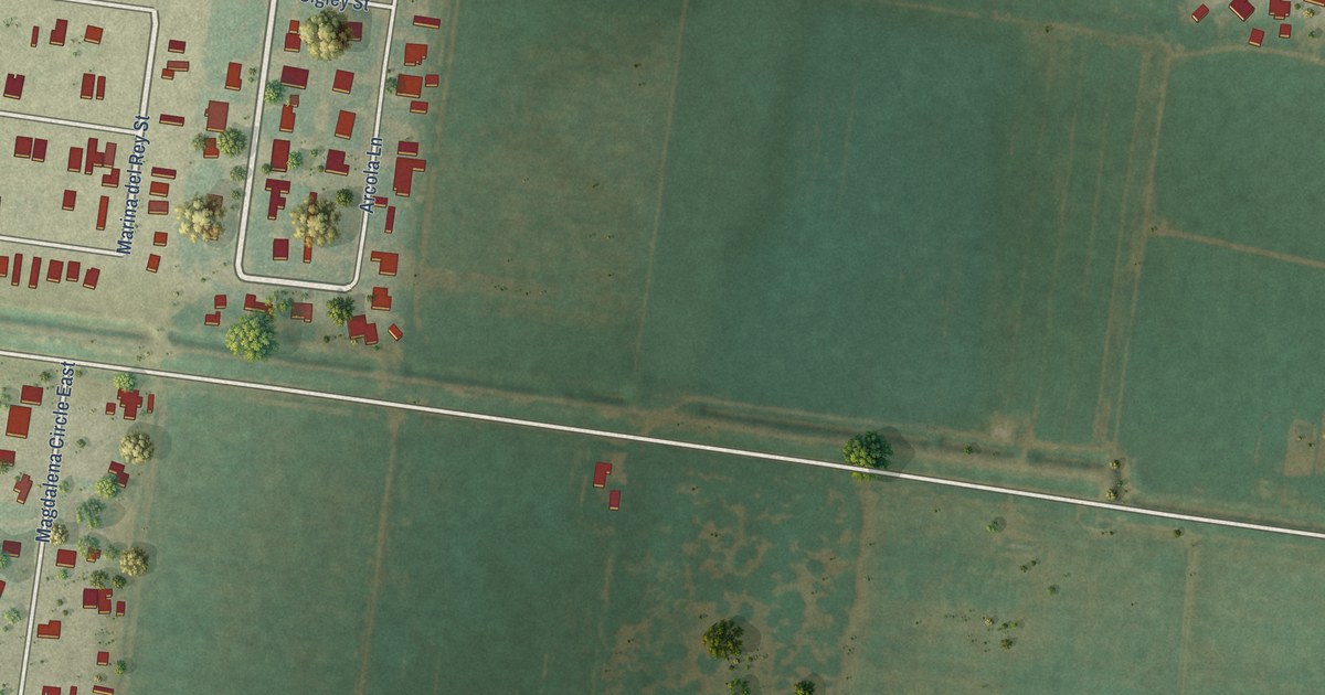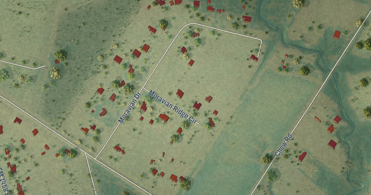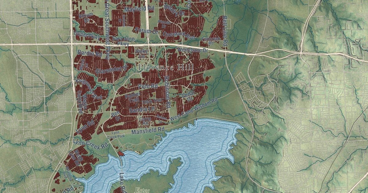
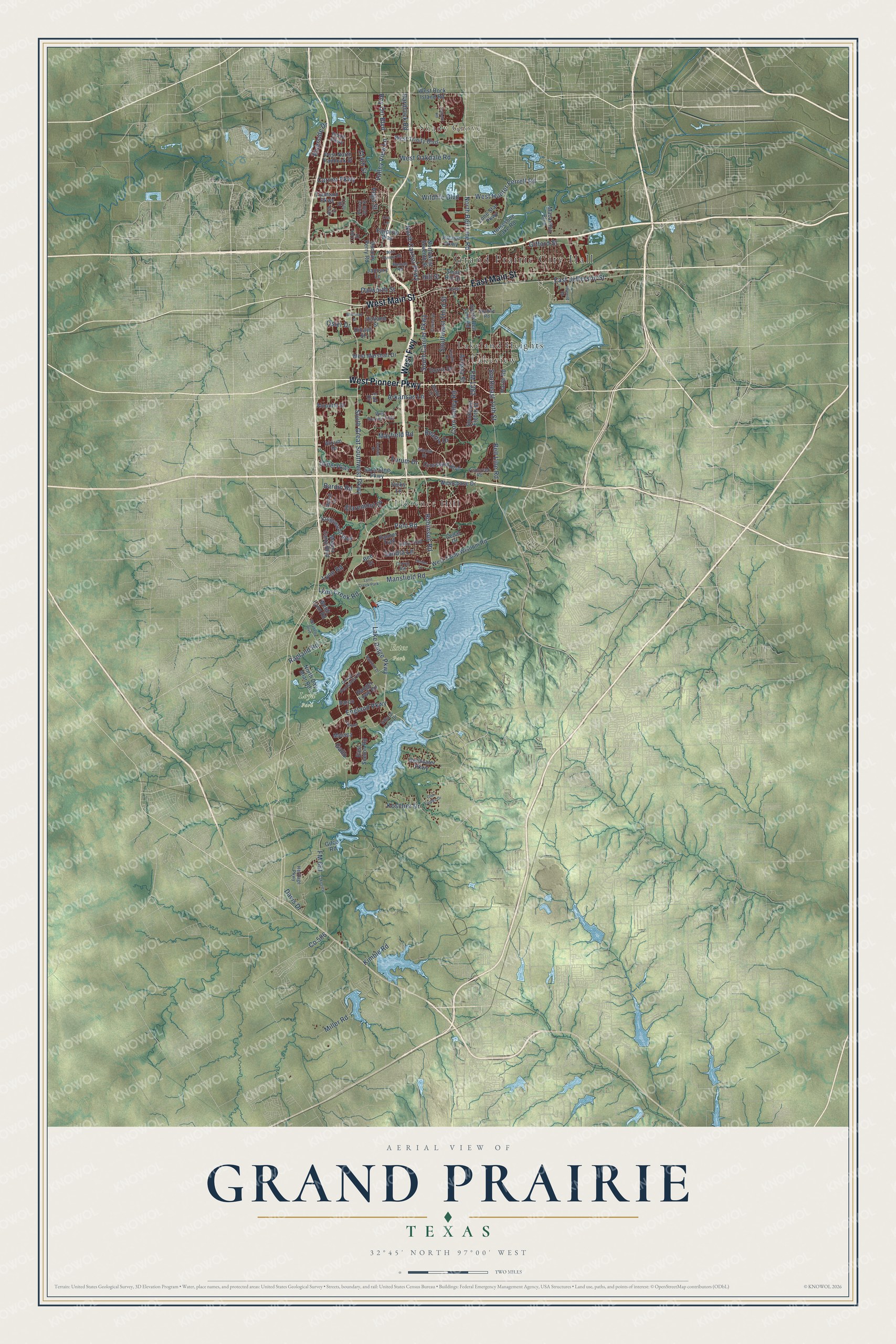
This beautifully detailed map of Grand Prairie, Texas was created in 2026 using aerial imagery combined with modern topographical, census, street and landmark data. It’s a one-of-a-kind view of Grand Prairie that combines accurate data with a vintage aesthetic. The map shows every building in its true location, many of the roads carry their names, and the shaded topographic relief shows the shape of the land.
Explore an aerial view of Grand Prairie, Texas
On the map you’ll find Grand Prairie City Hall, Shady Grove, Estes Park, Loyd Park, Florence Hill, Lakeland Heights, Lakeview, and West Fwy, along with East Main Street, West Pioneer Parkway, West Main Street, Lake Ridge Parkway, and more. If you look closely you can even find your house accurately drawn in its correct location. Zoom in on the preview to look for yours.
Did you know this piece of Grand Prairie, Texas history?
From the Handbook of Texas: "An electrical plant and volunteer fire department were established before 1920 when Grand Prairie had four churches, two cotton gins, a bank, a furniture factory, a planing mill, and several cottonseed-oil mills."
Take a closer look at the Grand Prairie map
Street and place names on the Grand Prairie, Texas map
These names are printed on the map of Grand Prairie, Texas.
Places: Grand Prairie City Hall, Shady Grove, Estes Park, Loyd Park, Florence Hill, Lakeland Heights, Lakeview and Lynn Creek Park.
Streets and roads: East Main Street, West Pioneer Parkway, West Main Street, West Fwy, Lake Ridge Parkway, South Carrier Parkway, South Great Southwest Parkway, North Carrier Parkway, Robinson Road, FM 1382, East Jefferson Street, Bardin Road.
More street names, A to Z
109th Street, 111th Street, 113th Street, 114th Street, Acosta Street, Alouette Drive, Arkansas Lane, Atrium Drive, Barco, Beatty Drive, Bee Drive, Belt Line Road, Bentwater Parkway, Brady Lane, Carrier Parkway, Cedar Drive, Claremont Drive, Clarice Street, Clark Trail, Corn Valley Road, Corral Road, Crooks Court, Crossland Boulevard, Dallas Street, Dalworth Street, Davis Drive, Dillard Street, Dorris Drive, Duncan Perry Road, East Seeton Road, Egyptian Way, England Parkway, Fall Drive, Fishcreek Road, FM 661, Forum Drive, Fountain Parkway, Gallo, Gifco Road, Gifford Street, Gilbert Road, Glen Eagles Drive, Grand Peninsula Drive, Hanger Lowe Road, Hardrock Road, Hardy Road, Heritage Parkway, Hill Street, Holland Street, Horseshoe Lake Road, Idlewild Road, Isuzu Parkway, January Lane, Kimble Road, Kingswood Boulevard, Koscher Drive, Laguna, Lone Star Parkway, Lynn Creek Road, Lynn Road, Macarthur Boulevard, Magna Carta Boulevard, Mansfield Road, Mayfield Road, Meseta, Miller Road, Mirabella Boulevard, Nautical Drive, North Belt Line Road, North Day Miar Road, Northwest Seventh Street, Ola Lane, Osler Drive, Outlet Parkway, Palace Parkway, Palmer Trail, Pinoak Drive, Polo Road, Post North Paddock Street, Prince John Drive, Ragland Road, Riverside Drive, Roman Road, Roy Orr Boulevard, Sandra Lane, Sara Jane Parkway, Sedona Drive, Seider Lane, Sherman Street, Skyline Road, Small Hill Drive, South Belt Line Road, Southeast 14th Street, Southeast Eighth Street, Southwest Third Street, Valley View Lane, Vega Street, Vicky Lane, Villa Di Lago Drive, Walsh Lane, Webb Lynn Road, West Camp Wisdom Road, Westchase Drive, West Hunter Ferrell Road, West Marshall Drive, West Oakdale Road, West Rock Island Road, West Tarrant Road, West Trinity Boulevard, West Warrior Trail, Wildlife Boulevard.
See the Grand Prairie, Texas map on a wall
The Grand Prairie map as an 18 x 24 inch print in a black frame.

This beautifully detailed map of Grand Prairie makes an attractive addition to your office, library, or den, and it can even be used to teach children the geography and history of the area. It also makes a great gift for anyone who grew up in Grand Prairie or moved away. When you’re done exploring, click here to get your copy of the Grand Prairie map.