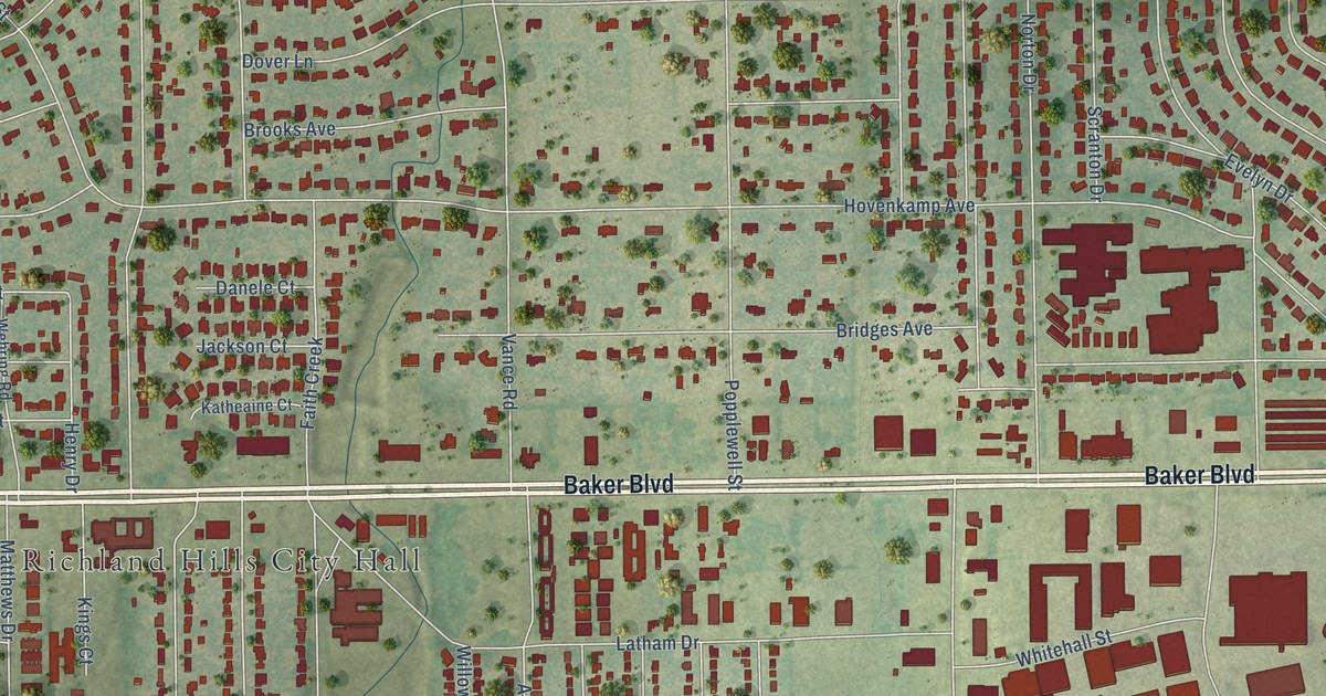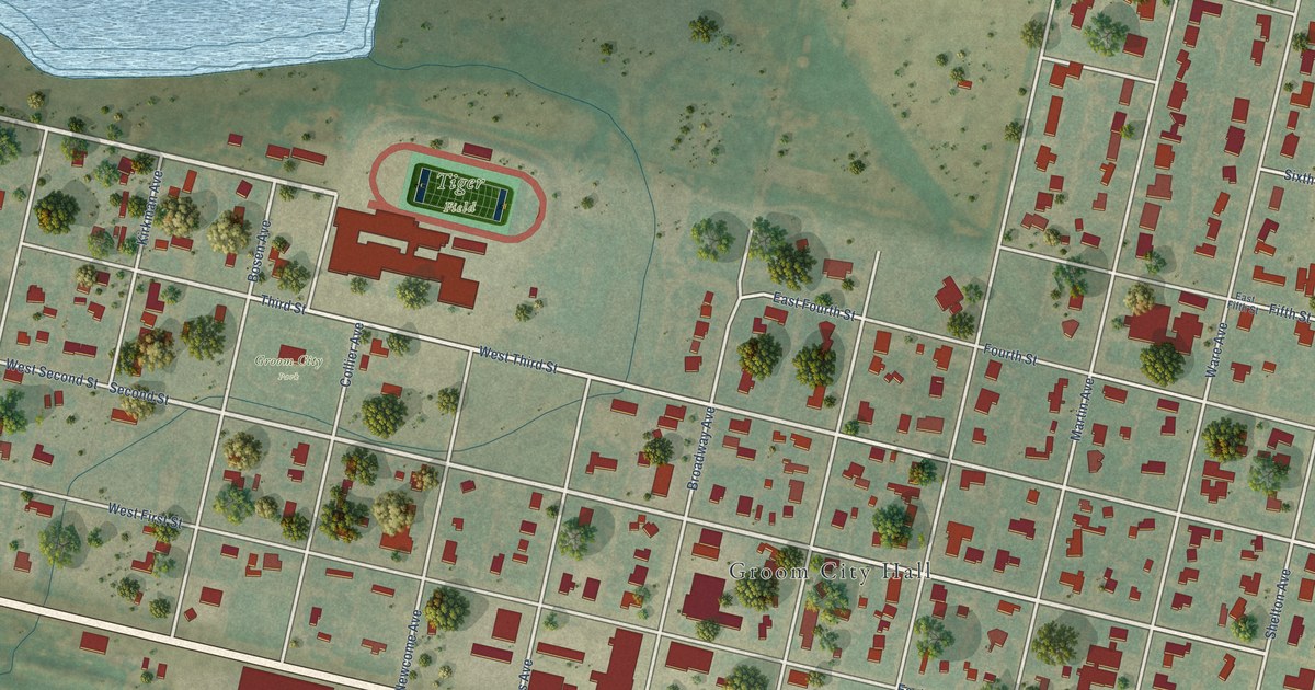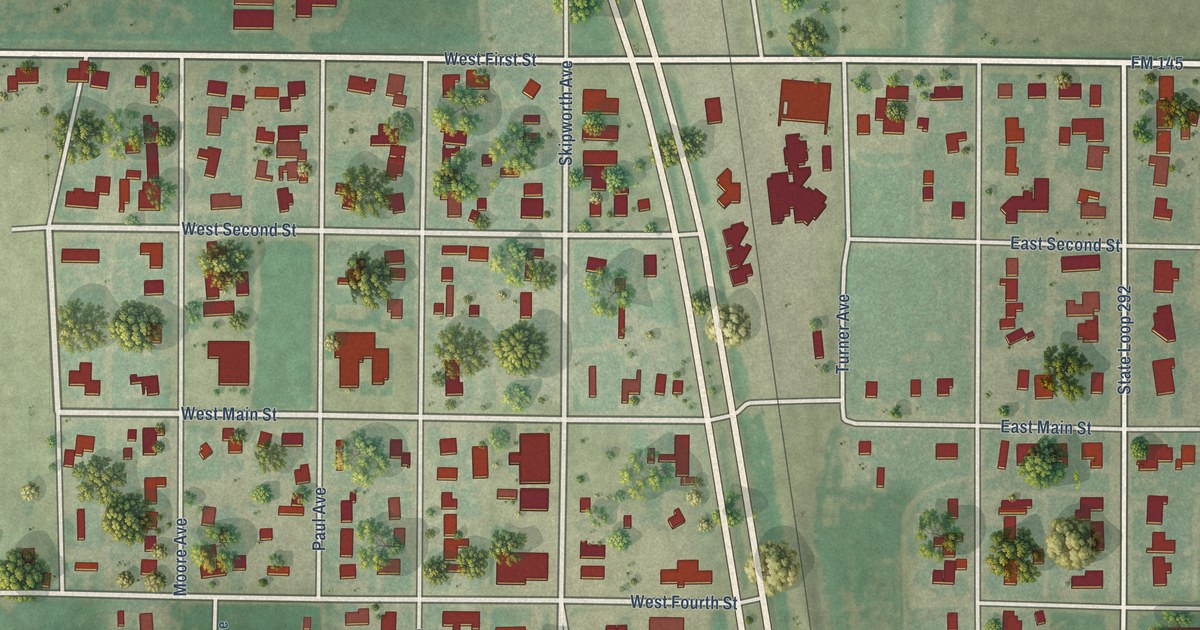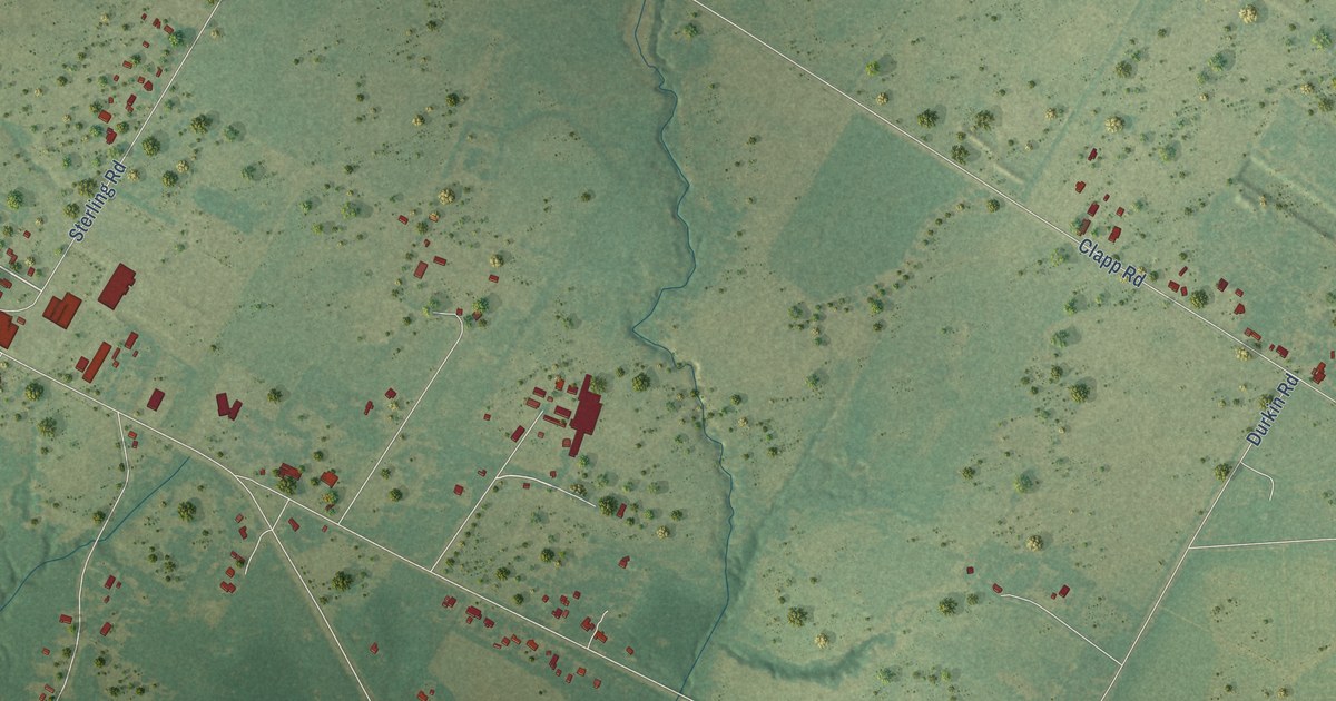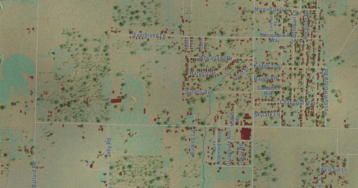
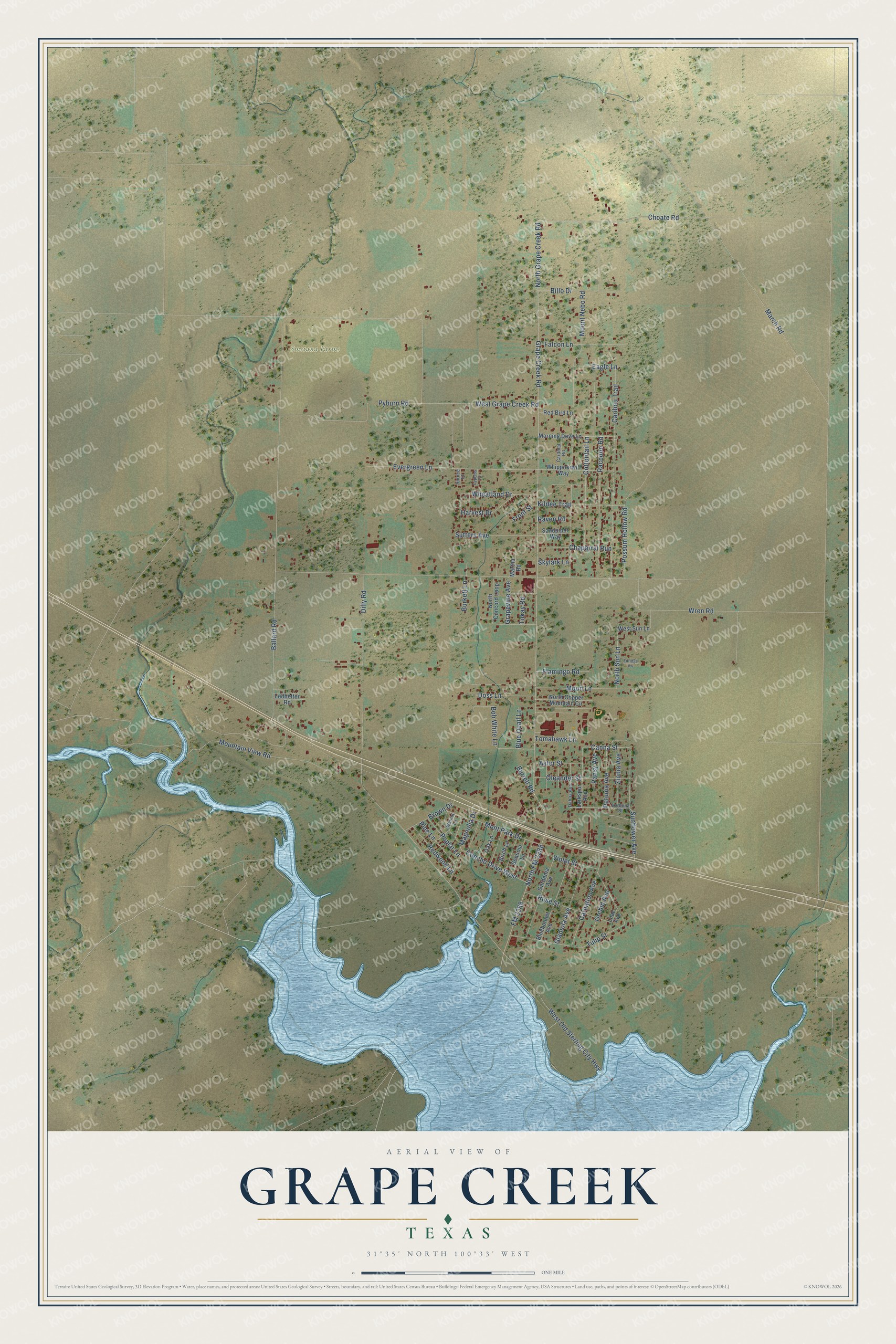
This beautifully detailed map of Grape Creek, Texas was created in 2026 using aerial imagery combined with modern topographical, census, street and landmark data. It's a modern aerial view of Grape Creek in Tom Green County, Texas, that combines modern data with a vintage aesthetic. The roads feature printed names, and if you look closely you can find your exact house accurately shown in its correct location.
Explore an aerial view of Grape Creek, Texas
On this map you'll find Smetana Farms, Sunflower Avenue, Grape Creek Road, North Grape Creek Road, Choate Road, Canna Street, March Road, Wren Road, Ballard Road, West Old Sterling City Highway, Mount Nebo Road, West Grape Creek Road, and more. Each red shape is a building, so zoom in on the preview and look for yours.
Grape Creek is a community in Tom Green County. The Census Bureau counted 3,594 people here in 2020. The map prints the town name in its title panel, with the coordinates below it.
Take a closer look at the Grape Creek map
Names on this map
These names are printed on this map.
Places: Smetana Farms.
Streets and roads: Sunflower Avenue, Grape Creek Road, North Grape Creek Road, Choate Road, Canna Street, March Road, Wren Road, Ballard Road, West Old Sterling City Highway, Mount Nebo Road, West Grape Creek Road, Caribou Trail.
More street names, A to Z
Aster Street, Billo Drive, Birch Lane, Bluebonnet Avenue, Blue Quail Lane, Bob White Lane, Brown Drive, Burkett Lane, Burrell Road, Cardinal Road, Carnation Avenue, Chaparral Run, Concho Drive West, Cottontail Lane, Cypress Court, Dahlia Avenue, Dilly Road, Doss Lane, Eagle Lane, Edridge Vw, Evergreen Lane, Falcon Lane, Flamingo Road, FM 2288, Front Street, Gardenia Avenue, Gladiola Avenue, Grapevine Avenue, Harvest Drive, Kildee Trail, Larkspur Avenue, Ledbetter Road, Lilac Avenue, Magnolia Drive, Martha Road, Mont Park Drive, Moon Lane, Morning Dove Lane, Mountain View Road, North Concord Loop, North Copper Mountain Circle, North FM 2288, North Sun Lane, Oak Lane, Oleander Street, Orchid Avenue, Pansy Avenue, Petunia Avenue, Pine Lane, Poplar Lane, Possum Hollow Road, Pyburn Road, Raccoon Road, Raven Road, Red Bird Lane, Redwood Lane, Rose Street, Sandpiper Way, Sequoia Lane, Skylark Lane, Spruce Court, Sutters Avenue, Tokay Road, Tomahawk Lane, Tulip Street, Verbena Street, Violet Street, Walnut Lane, West Sun Lane, Wheatland Drive, Whippoorwill Way, Zinnia Avenue.
See it on a wall
The Grape Creek map as a framed print. Swipe for more.


Created by KNOWOL in 2026. The buildings are small red shapes, the roads carry their printed names, and shaded relief shows the shape of the land. The title panel reads "AERIAL VIEW OF GRAPE CREEK, TEXAS" with 31°35' NORTH 100°33' WEST.
Hang it in the hallway, the office or the cabin, or give it to someone who left Grape Creek and still calls it home. Open the preview and look for a street you know. See sizes and frames for the Grape Creek map.