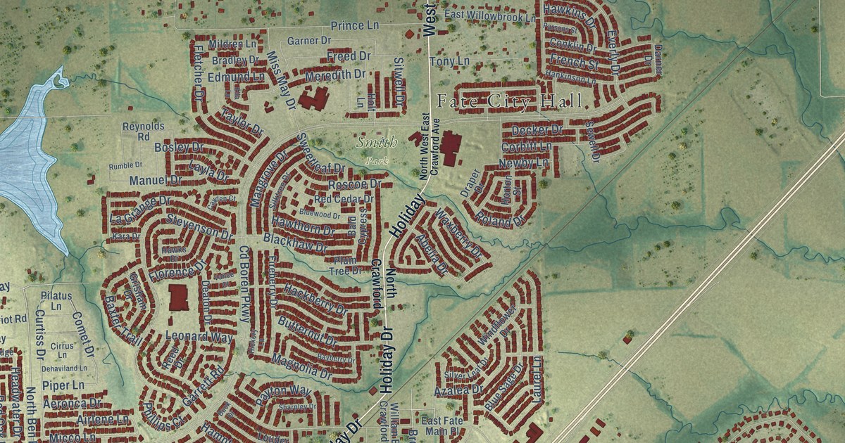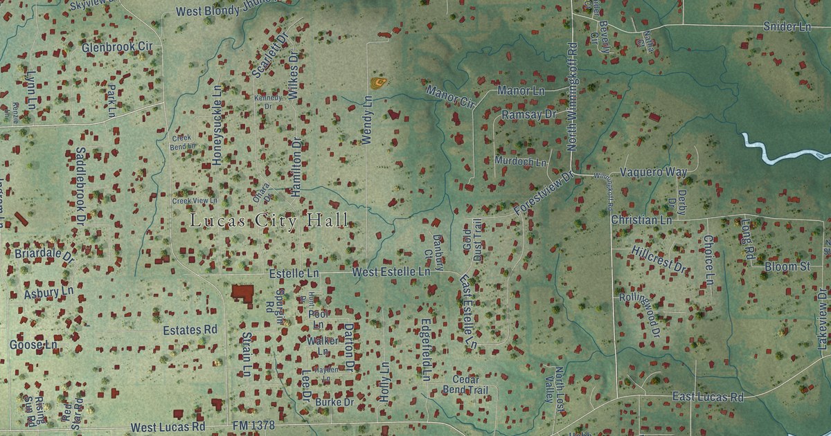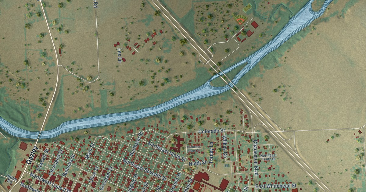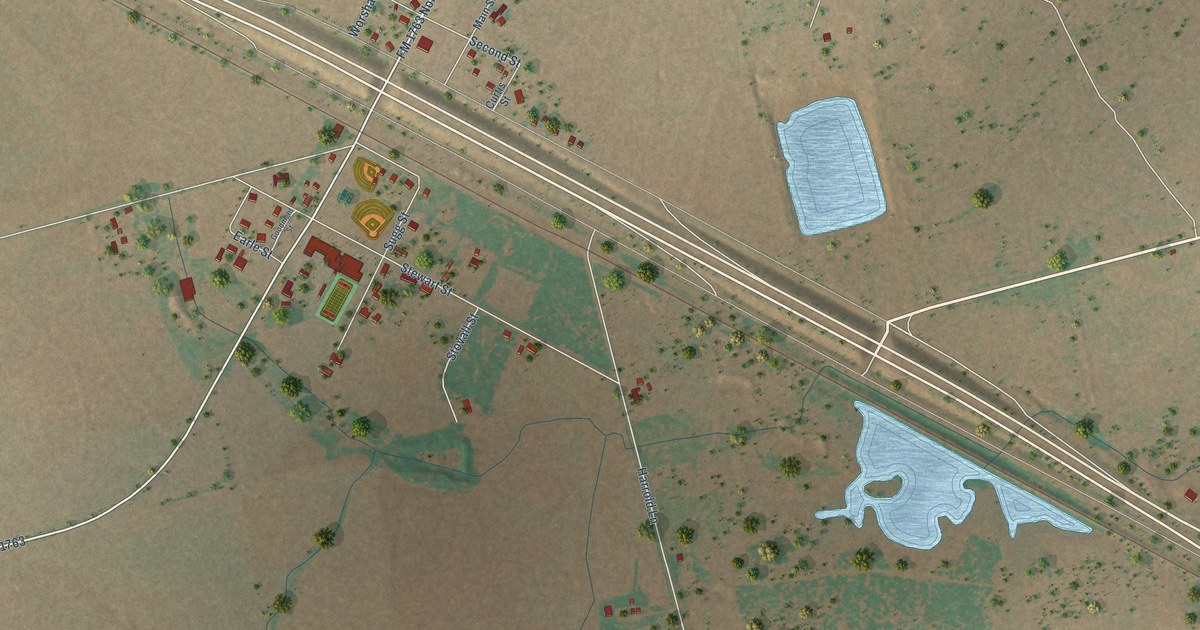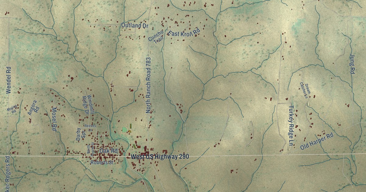
This beautifully detailed map of Harper, Texas was created in 2026 using aerial imagery combined with modern topographical, census, street and landmark data. It's a modern aerial view of Harper in Gillespie County, Texas, that combines modern data with a vintage aesthetic. The roads feature printed names, and if you look closely you can find your exact house accurately shown in its correct location.
Explore an aerial view of Harper, Texas
On this map you'll find Klein Branch Road, Miles Lane, Wendel Road, Michael Road, South Ranch Road 783, Fiedler Road, Lange Road, FM 2093, Kramer Road, Jung Road, Reservation Road, North Ranch Road 783, and more. Each red shape is a building, so zoom in on the preview and look for yours.
Every town has a first chapter, and Harper is no exception. Harper was first settled by the Matthew Taylor and Eli McDonald families in 1863. George Franklin Harper opened the first post office in 1883, and the town took his name. When Harper held its centennial in 1963, more than 15,000 visitors came. That's from the Handbook of Texas.
Harper is a community in Gillespie County. The Census Bureau counted 1,332 people here in 2020.
Take a closer look at the Harper map
Names on this map
These names are printed on this map.
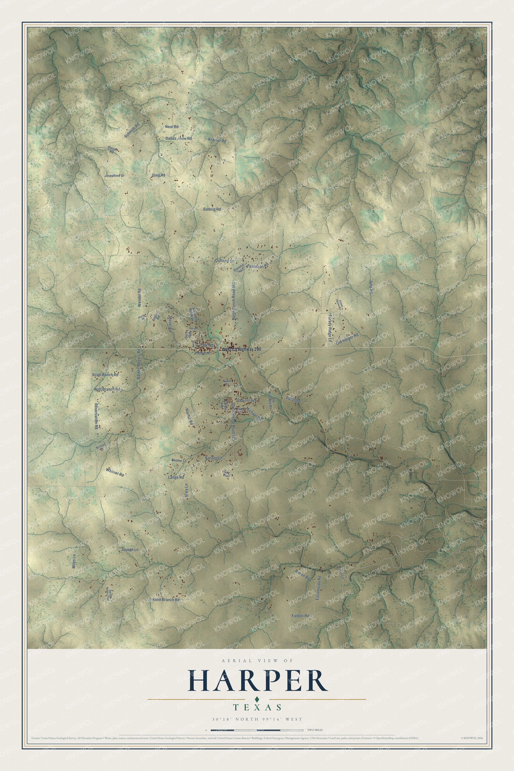
Streets and roads: Klein Branch Road, Miles Lane, Wendel Road, Michael Road, South Ranch Road 783, Fiedler Road, Lange Road, FM 2093, Kramer Road, Jung Road, Reservation Road, North Ranch Road 783.
More street names, A to Z
Angora Road, Barker-Rogers Road, Brown Road, Charolet Avenue, Concho Trail, Dallas Josie Road, Darby Spr, Decker Lane, Dian Drive, Dream Catcher Lane, East Kroll Road, Escomoida Road, Fawn Street, Gina Road, Harlan Road, Josephine Drive, Joseph Lane, Kristen Lane, Kristof Drive, Mary Lane, Milton Lane, Mosel Road, Mujica Road, Neal Road, North Fourth Street, Nott Branch Road, Oak Road, Old Harper Road, Old Tivydale Road, Outland Drive, Palmer Avenue, Reeves Lane, Rieger Road, Roberts Street, Schmidt Road, Scott Ranch Road, Sky Trail, Solbrig Road, Spring Valley Trail, Turkey Ridge Lane, Wanner Road, West US Highway 290, Windmill Ridge Drive.
See it on a wall
The Harper map as a framed print. Swipe for more.


Created by KNOWOL in 2026. The buildings are small red shapes, the roads carry their printed names, and shaded relief shows the shape of the land. The title panel reads "AERIAL VIEW OF HARPER, TEXAS" with 30°18' NORTH 99°14' WEST.
Hang it in the hallway, the office or the cabin, or give it to someone who left Harper and still calls it home. Open the preview and look for a street you know. See sizes and frames for the Harper map.