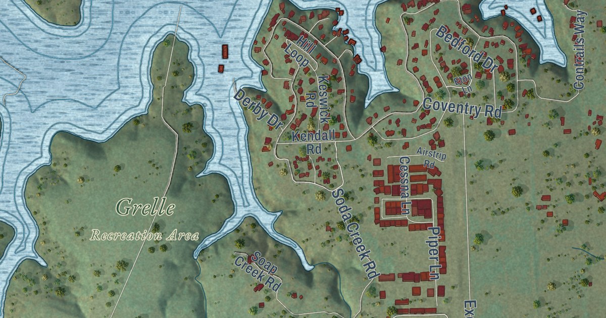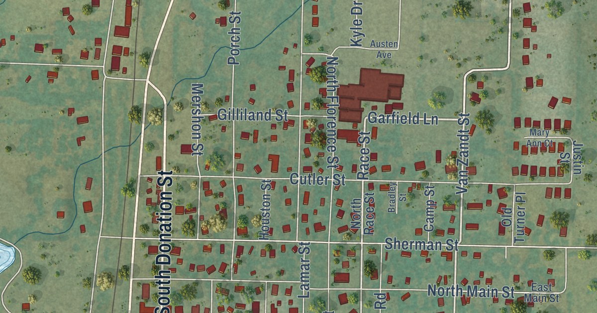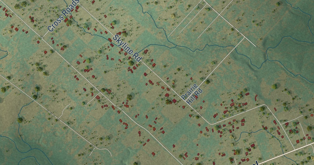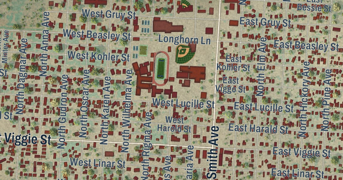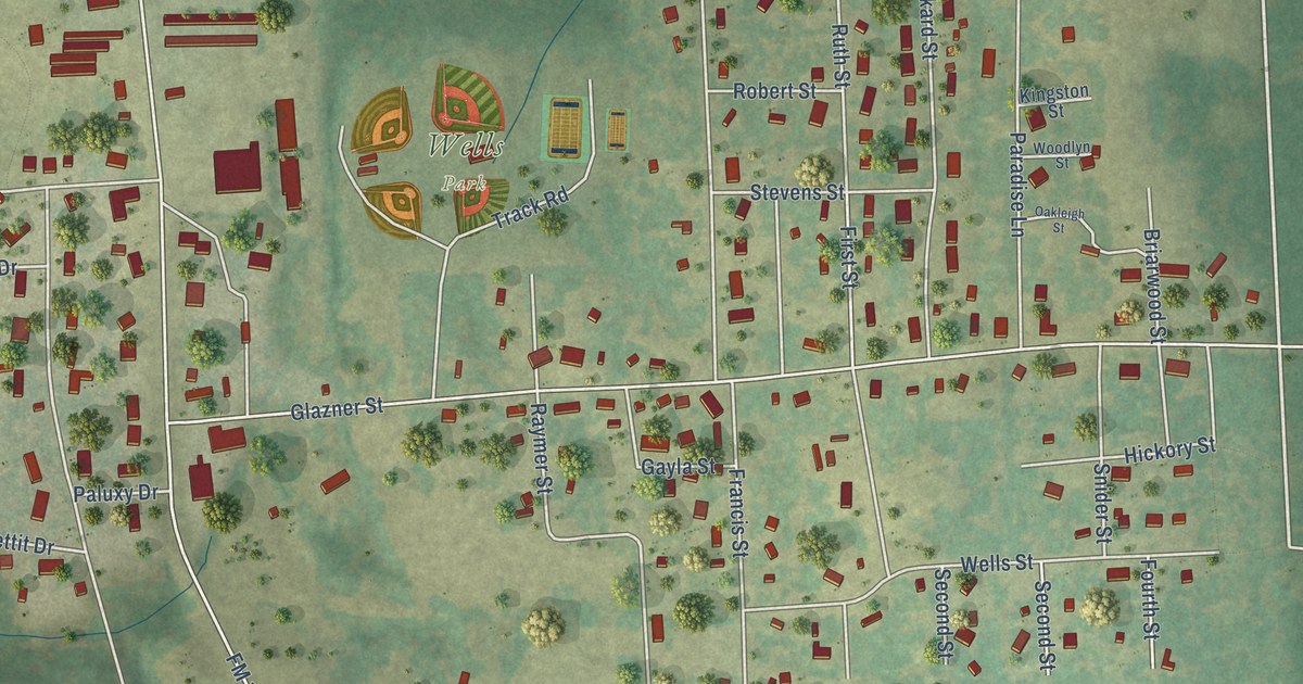
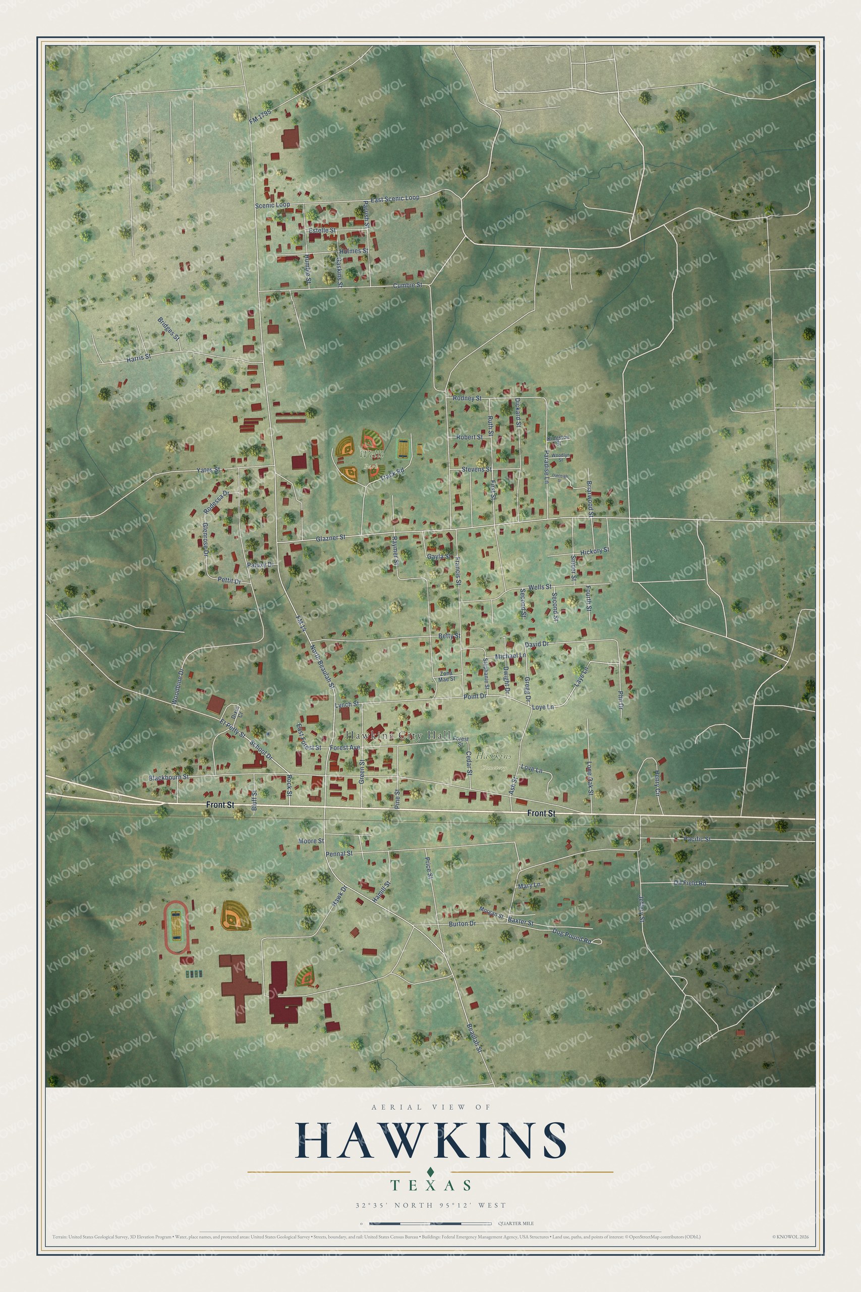
This beautifully detailed map of Hawkins, Texas was created in 2026 using aerial imagery combined with modern topographical, census, street and landmark data. It’s a one-of-a-kind view of Hawkins that combines accurate data with a vintage aesthetic. The map shows every building in its true location, many of the roads carry their names, and the shaded topographic relief shows the shape of the land.
Explore an aerial view of Hawkins, Texas
On the map you’ll find Hawkins City Hall, Wells Park, and Hawkins Cemetery, along with Front Street, Gregg Drive, Point Drive, David Drive, School Drive, Forest Avenue, Burton Drive, Glenrose Drive, FM 14, and more. If you look closely you can even find your house accurately drawn in its correct location. Zoom in on the preview to look for yours.
Did you know this piece of Hawkins, Texas history?
From the Handbook of Texas: "The community had a population of 200 in October 1940, when former lightweight boxer Bobby (Bobbie) Manziel made the first major oil discovery in Wood County, a wildcat well 3½ miles north of town; Hawkins became an overnight boomtown."
Take a closer look at the Hawkins map
Street and place names on the Hawkins, Texas map
These names are printed on the map of Hawkins, Texas.
Places: Hawkins City Hall, Wells Park and Hawkins Cemetery.
Streets and roads: Front Street, Gregg Drive, Point Drive, David Drive, School Drive, Forest Avenue, Burton Drive, Glenrose Drive, FM 14, Beaulah Street, Blackbourn Street, Glazner Street.
More street names, A to Z
Ash Street, Baxter Street, Betty Street, Bluff Street, Briarwood Street, Bridges Street, Cedar Street, Cumbie Street, Dickard Street, Dixie Cr, Dog Pound Road, Dwight Drive, East Forest Street, East Scenic Loop, Estelle Street, Et Petty Street, First Street, FM 1795, Forest Street, Fourth Street, Francis Street, Gaskins Street, Gayla Street, Green Street, Hamill Street, Harris Street, Hawk Drive, Henry Circle, Hickory Street, Holmes Street, Humble Street, Jeffery Street, Kingston Street, Laye Lane, Lone Oak Street, Love Lane, Loye Lane, Lynch Street, Mary Lane, Michael Lane, Moore Street, Morgan Street, North Beaulah Street, Oakleigh Street, Oil Field Road, Pacific Street, Paluxy Drive, Paradise Lane, Parrish Street, Pennal Street, Pettit Drive, Phil Drive, Pine Street, Price Street, Raymer Street, Robert Street, Rock Street, Rodessa Drive, Rodney Street, Ruth Street, Scenic Loop, Second Street, Snider Street, Stephanie Street, Stevens Street, Track Road, Wells Street, Woodbine Drive, Woodlyn Street, Yates Street, Zona Mae Street.
See the Hawkins, Texas map on a wall
The Hawkins map as an 18 x 24 inch print in a black frame.

This beautifully detailed map of Hawkins makes an attractive addition to your office, library, or den, and it can even be used to teach children the geography and history of the area. It also makes a great gift for someone who left Hawkins and still calls it home. When you’re done exploring, click here to get your copy of the Hawkins map.