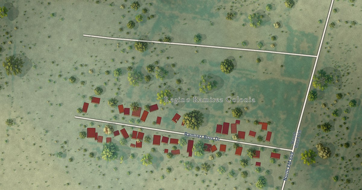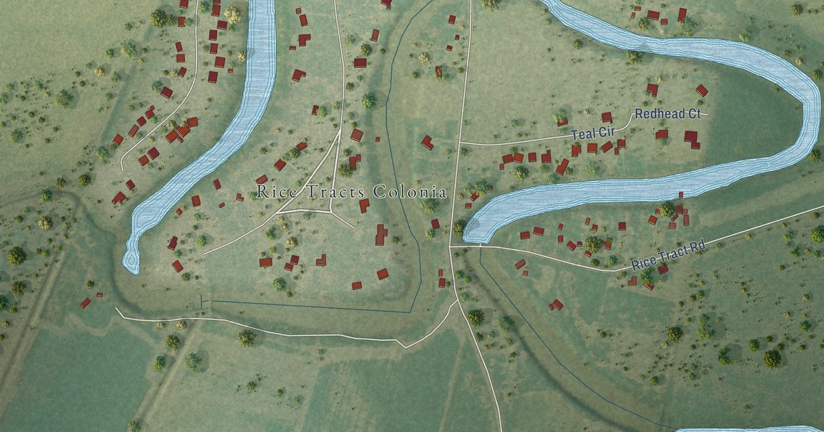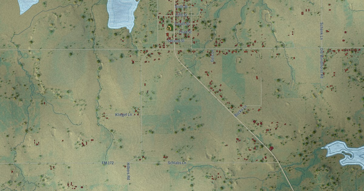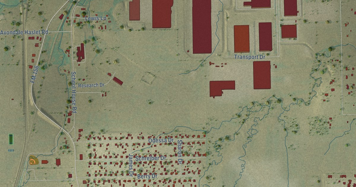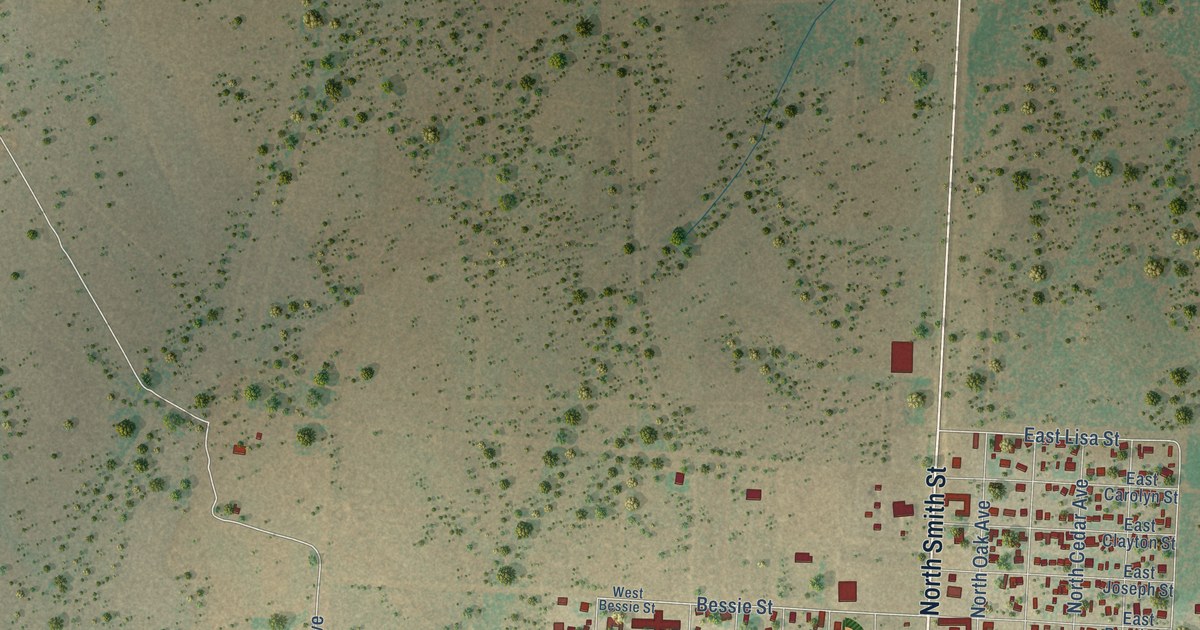
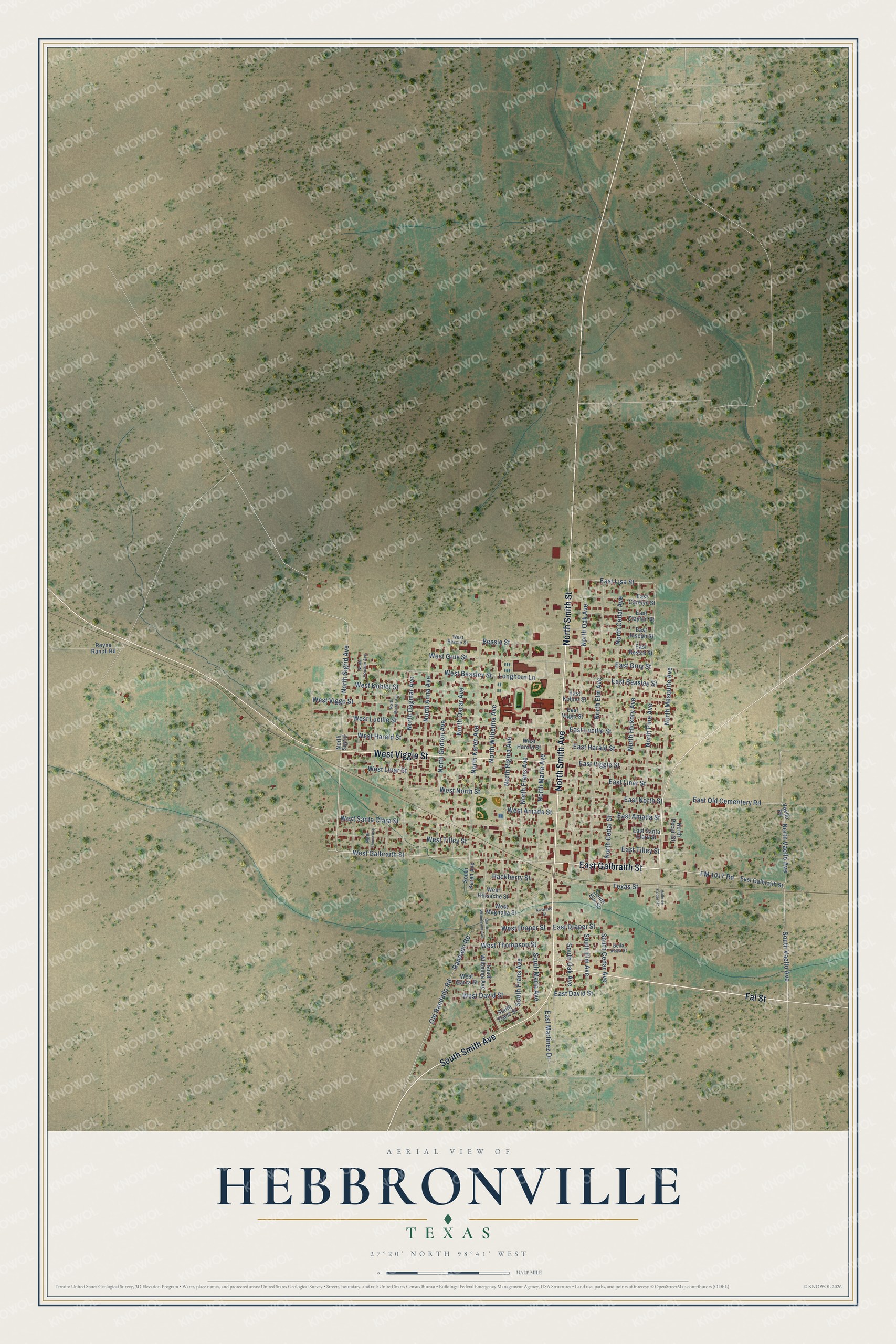
This beautifully detailed map of Hebbronville, Texas was created in 2026 using aerial imagery combined with modern topographical, census, street and landmark data. It's a modern aerial view of Hebbronville in Jim Hogg County, Texas, that combines modern data with a vintage aesthetic. The roads feature printed names, and if you look closely you can find your exact house accurately shown in its correct location.
Explore an aerial view of Hebbronville, Texas
On this map you'll find North Smith Street, East Galbraith Street, North Smith Avenue, South Smith Avenue, Fal Street, West Viggie Street, North Sigrid Avenue, West Galbraith Street, West Amada Street, FM 1017 Road, Randado Road, Bessie Street, and more. Each red shape is a building, so zoom in on the preview and look for yours.
Hebbronville is a community in Jim Hogg County. The Census Bureau counted 4,101 people here in 2020. Hebbronville sits about 2 miles southwest of Las Lomitas, 4 miles northeast of South Fork Estates and 8 miles northeast of Thompsonville. The map prints the town name in its title panel, with the coordinates below it.
Take a closer look at the Hebbronville map
Names on this map
These names are printed on this map.
Streets and roads: North Smith Street, East Galbraith Street, North Smith Avenue, South Smith Avenue, Fal Street, West Viggie Street, North Sigrid Avenue, West Galbraith Street, West Amada Street, FM 1017 Road, Randado Road, Bessie Street.
More street names, A to Z
Alvarado Street, Bella Vista Street, East Amada Street, East Beasley Street, East Bessie Street, East Carolyn Street, East Clayton Street, East David Street, East Draper Street, East Gruy Street, East Harald Street, East Joseph Street, East Kohler Street, East Linar Street, East Lisa Street, East Lucille Street, East Martinez Drive, East North Street, East Old Cementery Road, East Santa Clara Street, East Tilley Street, East Viggie Street, East Viggo Street, Hackberry Street, Longhorn Lane, North Anna Avenue, North Cedar Avenue, North Cedar Street, North Dagmar Avenue, North Elm Avenue, North Emma Avenue, North Frans Avenue, North Gudron Avenue, North Hickory Avenue, North Houston Avenue, North Karen Avenue, North Maria Avenue, North Mesquite Avenue, North Minter Avenue, North Oak Avenue, North Oscar Avenue, North Pecan Street, North Pine Avenue, North Rigma Avenue, North Sigrid, North Vaello Avenue, North Wilhelma Avenue, Old Randado Road, Reyna Ranch Road, South Cedar Avenue, South Elm Avenue, South Elm Street, South Frans Avenue, South Frans Street, South Karen Avenue, South Maria Avenue, South Oak Avenue, South Vaello Avenue, South Wilhelma Avenue, South Wilhelmina Avenue, Texas Street, Vaello Road, Valle de Codorniz, West Beasley Street, West Bessie Street, West David Street, West Draper Street, West Garza Street, West Gruy Street, West Harald Street, West Harold Street, West Huisache Street, West Kohler Street, West Linar Street, West Lucille Street, West Magnolia Street, West North Street, West Santa Clara Street, West Thompson Street, West Tilley Street, West Viggo Street.
See it on a wall
The Hebbronville map as a framed print. Swipe for more.


Created by KNOWOL in 2026. The buildings are small red shapes, the roads carry their printed names, and shaded relief shows the shape of the land. The title panel reads "AERIAL VIEW OF HEBBRONVILLE, TEXAS" with 27°20' NORTH 98°41' WEST.
Hang it in the hallway, the office or the cabin, or give it to someone who left Hebbronville and still calls it home. Open the preview and look for a street you know. See sizes and frames for the Hebbronville map.