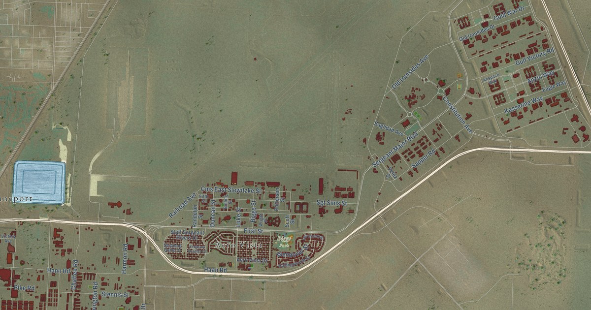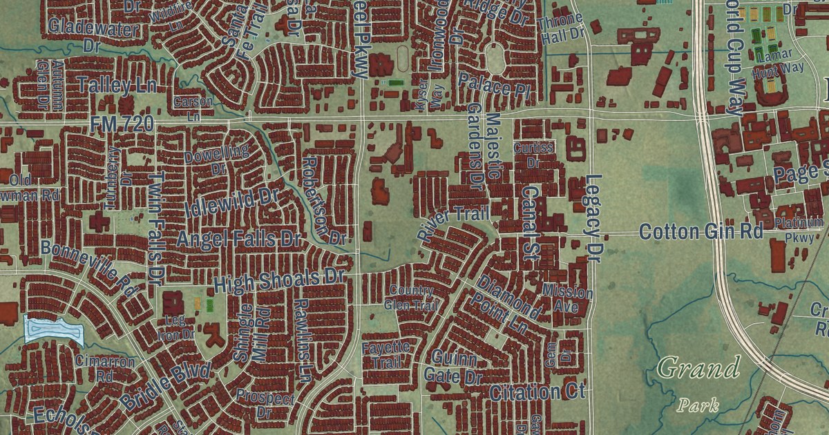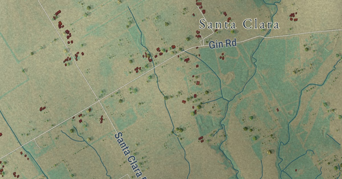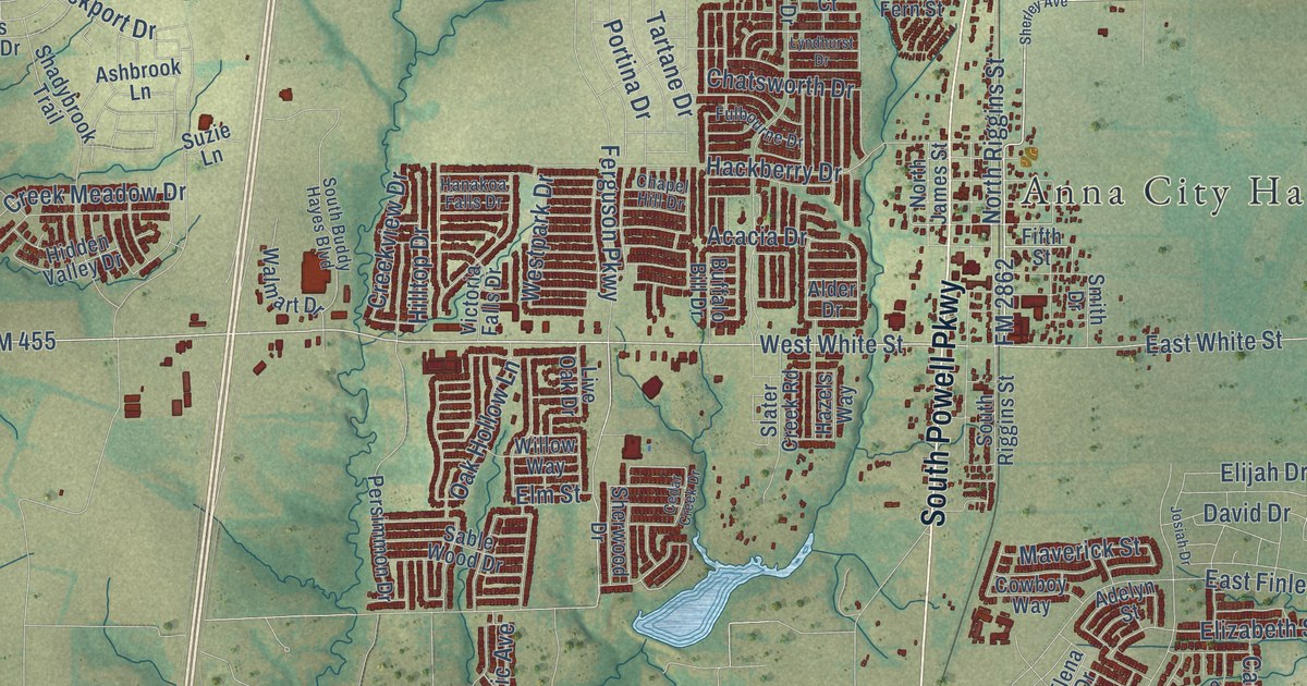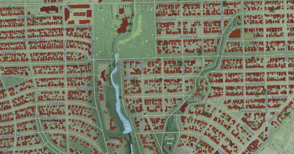
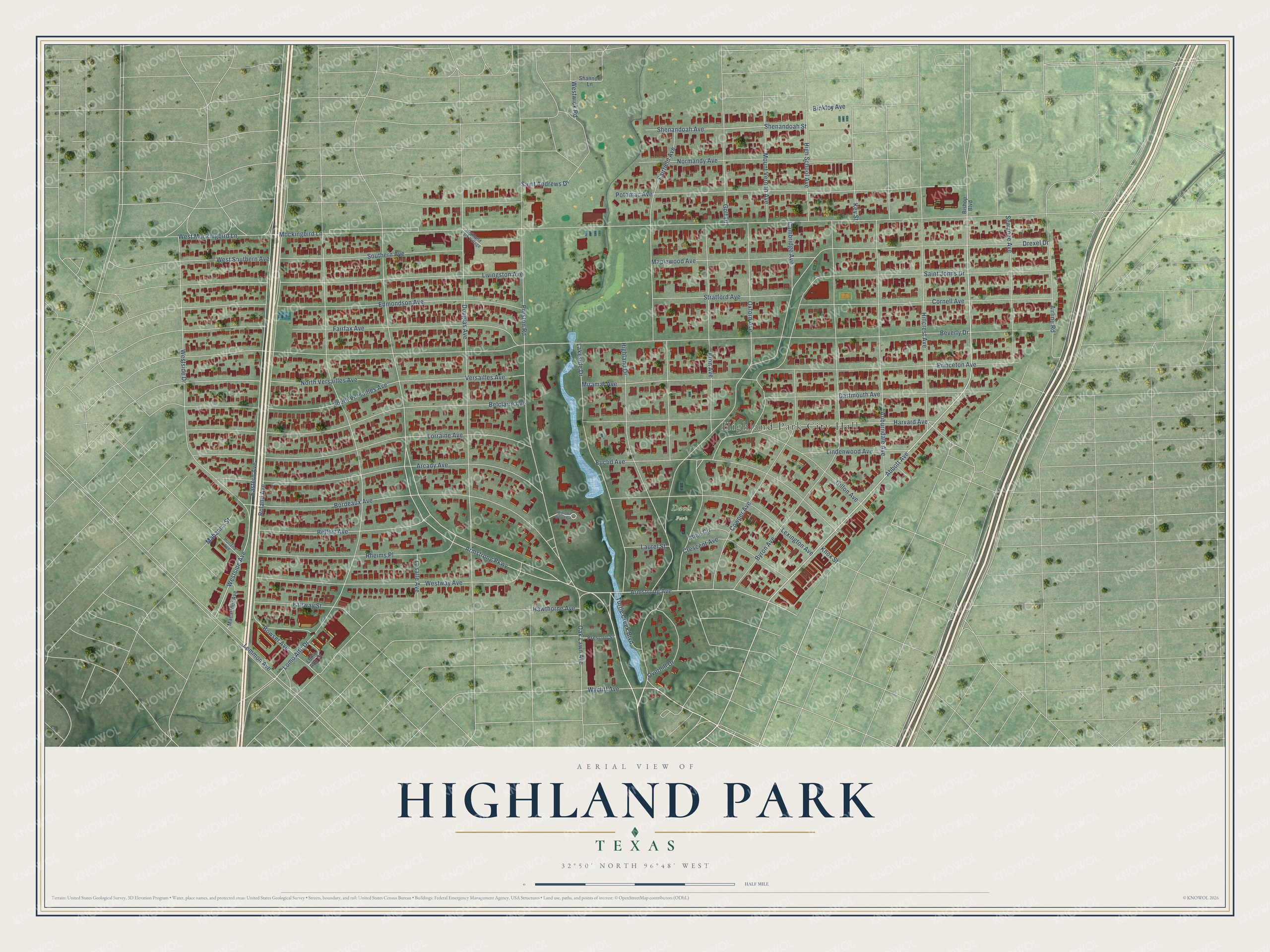
This beautifully detailed map of Highland Park, Texas was created in 2026 using aerial imagery combined with modern topographical, census, street and landmark data. It’s a one-of-a-kind view of Highland Park that combines accurate data with a vintage aesthetic. The map shows every building in its true location, many of the roads carry their names, and the shaded topographic relief shows the shape of the land.
Explore an aerial view of Highland Park, Texas
On the map you’ll find Highland Park City Hall and Davis Park, along with Turtle Creek Boulevard, Lakeside Drive, Abbott Avenue, Lomo Alto Drive, Armstrong Avenue, Armstrong Parkway, Westside Avenue, Beverly Drive, Mockingbird Lane, Saint Johns Drive, and more. If you look closely you can even find your house accurately drawn in its correct location. Zoom in on the preview to look for yours.
Did you know this piece of Highland Park, Texas history?
From the Handbook of Texas: "In 1931 Highland Park Village, the first shopping center of its type in the United States, was constructed in Highland Park."
Take a closer look at the Highland Park map
Street and place names on the Highland Park, Texas map
These names are printed on the map of Highland Park, Texas.
Places: Highland Park City Hall and Davis Park.
Streets and roads: Turtle Creek Boulevard, Lakeside Drive, Abbott Avenue, Lomo Alto Drive, Armstrong Avenue, Armstrong Parkway, Westside Avenue, Beverly Drive, Mockingbird Lane, Saint Johns Drive, Drexel Drive, Roland Avenue.
More street names, A to Z
Airline Road, Alice Circle, Arcady Avenue, Auburndale Avenue, Belclaire Avenue, Belfort Avenue, Binkley Avenue, Bishop Boulevard, Bordeaux Avenue, Bowser Avenue, Byron Avenue, Cambridge Avenue, Cornell Avenue, Cowper Avenue, Crescent Avenue, Dartmouth Avenue, Douglas Avenue, Eastern Avenue, Edmondson Avenue, Eton Avenue, Euclid Avenue, Fairfax Avenue, Fairfield Avenue, Fairway Street, Gillon Avenue, Golf Drive, Harvard Avenue, Hawthorne Avenue, Highland Drive, Highland Park Village, High School Avenue, Hillcrest Avenue, Holland Avenue, Key Street, Knox Street, Lasalle Avenue, Laurel Street, Lemmon Avenue, Lexington Avenue, Lindenwood Avenue, Livingston Avenue, Lomo Alto Court, Lorraine Avenue, Macarthur Avenue, Mahanna Street, Maplewood Avenue, Miramar Avenue, Mount Vernon Avenue, Normandy Avenue, North Versailles Avenue, Oak Lawn Avenue, Overhill Drive, Oxford Avenue, Potomac Avenue, Prescott Street, Preston Road, Princeton Avenue, Rheims Place, Saint Andrews Drive, Sewanee Avenue, Shannon Lane, Shenandoah Avenue, Shenandoah Street, Southern Avenue, South Versailles Avenue, Stratford Avenue, Versailles Avenue, West Mockingbird Lane, Westside Drive, West Southern Avenue, Westway Avenue, Westwick Road, Willow Wood Circle, Wycliff Avenue.
See the Highland Park, Texas map on a wall
The Highland Park map as an 18 x 24 inch print in a black frame.

This beautifully detailed map of Highland Park makes an attractive addition to your office, library, or den, and it can even be used to teach children the geography and history of the area. It also makes a great gift for someone who left Highland Park and still calls it home. When you’re done exploring, click here to get your copy of the Highland Park map.