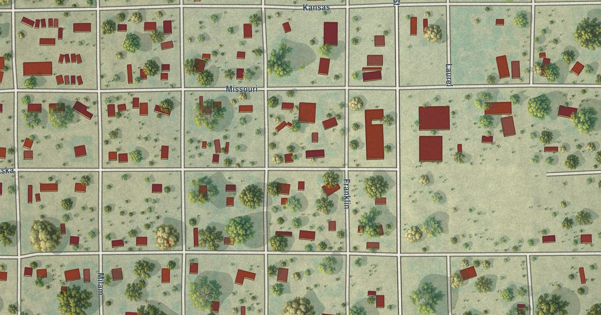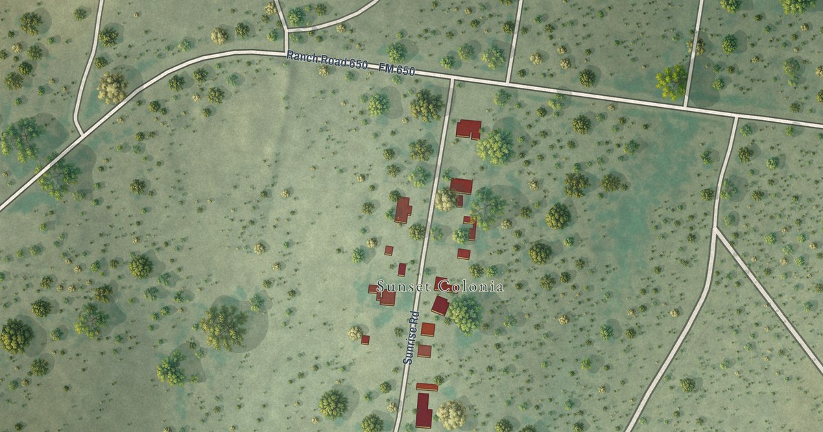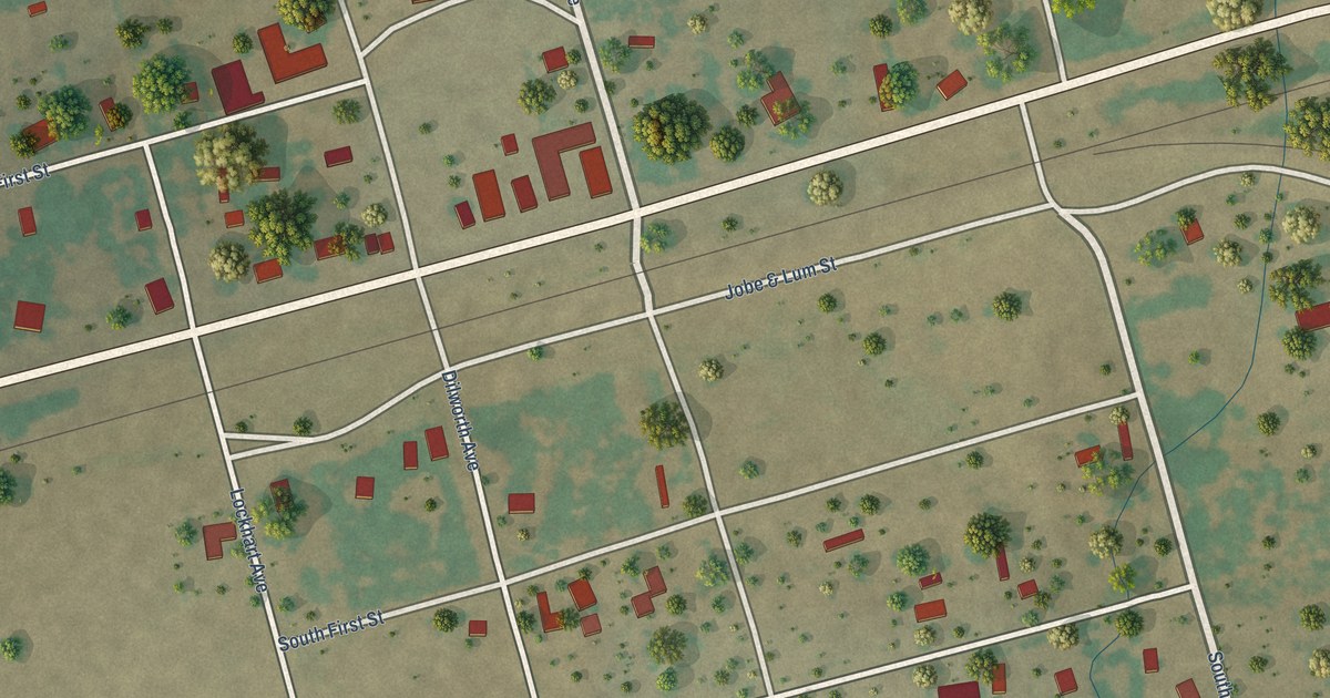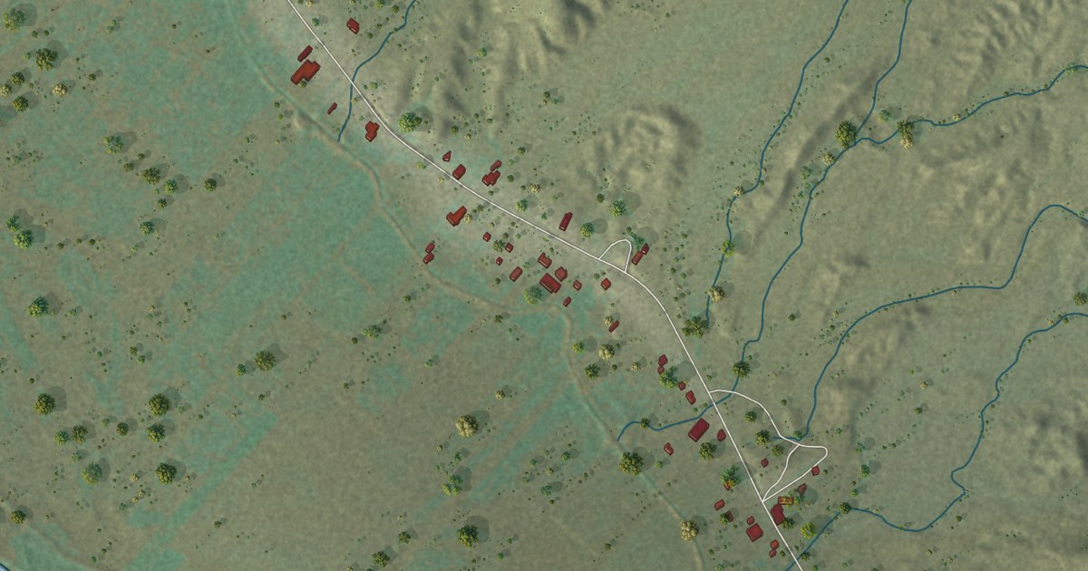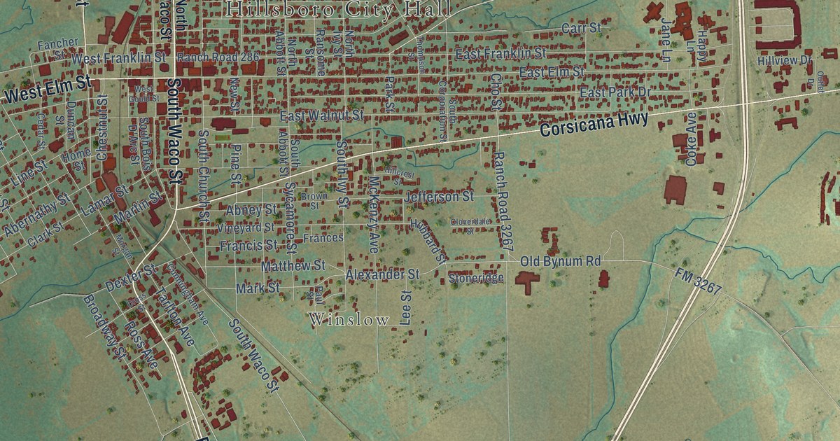
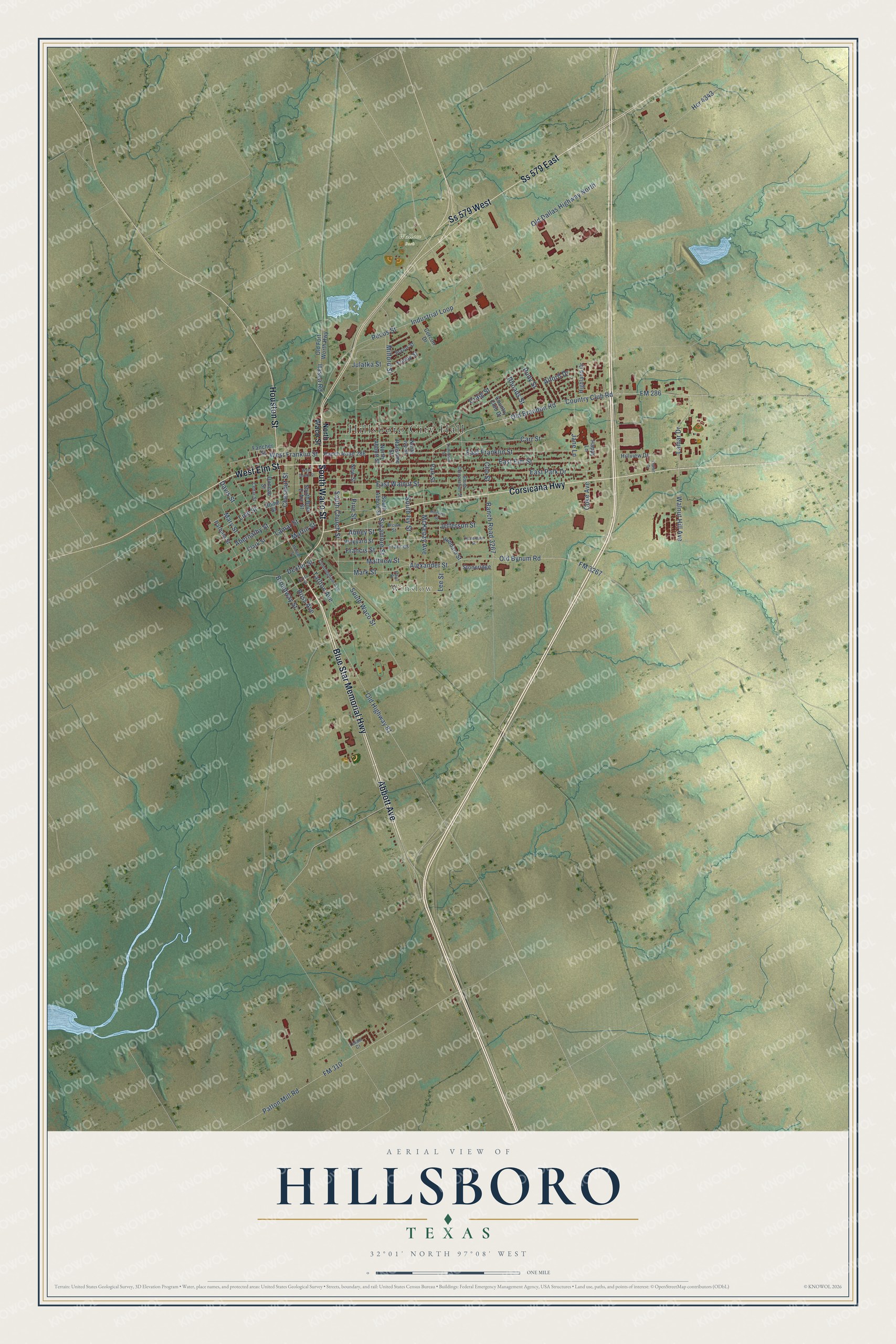
This beautifully detailed map of Hillsboro, Texas was created in 2026 using aerial imagery combined with modern topographical, census, street and landmark data. It’s a one-of-a-kind view of Hillsboro that combines accurate data with a vintage aesthetic. The map shows every building in its true location, many of the roads carry their names, and the shaded topographic relief shows the shape of the land.
Explore an aerial view of Hillsboro, Texas
On the map you’ll find Hillsboro City Hall, Winslow, Wallace Park, Ss 579 East, and Ss 579 West, along with Blue Star Memorial Highway, Abbott Avenue, South Waco Street, Corsicana Highway, West Elm Street, Houston Street, Alexander Street, and more. If you look closely you can even find your house accurately drawn in its correct location. Zoom in on the preview to look for yours.
Did you know this piece of Hillsboro, Texas history?
From the Handbook of Texas: "Education was improved with the establishment in 1923 of Hillsboro Junior College, one of the first municipal junior colleges in the state, as a part of the Hillsboro public school system."
Take a closer look at the Hillsboro map
Street and place names on the Hillsboro, Texas map
These names are printed on the map of Hillsboro, Texas.
Places: Hillsboro City Hall, Winslow and Wallace Park.
Streets and roads: Blue Star Memorial Highway, Abbott Avenue, South Waco Street, Corsicana Highway, West Elm Street, Ss 579 East, Houston Street, Ss 579 West, Alexander Street, Old Bynum Road, Mark Street, FM 3267.
More street names, A to Z
Abernathy Street, Abney Street, Alford Drive, Brazos Street, Broadway Street, Brown Street, Carr Street, Cedar Street, Cercon Drive, Chestnut Street, Cho Street, Clark Street, Cloverdale Street, Coke Avenue, Country Club Drive, Country Club Road, Craig Street, Cross Street, Cunningham Avenue, Davis Street, Dexter Street, Duncan Street, East Elm Street, East Franklin Street, East Park Drive, East Walnut Street, Fancher Street, FM 286, FM 310, Frances, Francis Street, Happy Lane, Hcr 4343, Highland Drive, Hillcrest Street, Hillview Drive, Home Street, Hubbard Street, Industrial Loop, Itasca Road, Jane Lane, Jefferson Street, Julatka Street, Lamar Drive, Lamar Street, Lee Street, Lelani Court, Line Street, Martin Street, Mary Street, Matthew Street, McKenzy Avenue, Milford Street, Morgan Street, New Street, North Abbott Street, North Ivy Street, North Waco Street, Old Brandon Road, Old Dallas Highway North, Old Fort Worth Highway, Old Highway 81, Outlet Drive, Parham Street, Park Street, Patton Mill Road, Paul Street, Pecos Street, Pine Street, Ranch Road 286, Ranch Road 3267, Ransome Street, Rhoads Street, Ross Avenue, Rudy Street, South Abbott Street, South Bois D'Arc Street, South Church Street, South Corporation Street, South Ivy Street, Stoneridge, Sycamore Street, Tarlton Avenue, Thompson Street, Trinity Street, Vineyard Street, Walnut Hill Avenue, West Franklin Street, West Gould Street.
See the Hillsboro, Texas map on a wall
The Hillsboro map as an 18 x 24 inch print in a black frame.

This beautifully detailed map of Hillsboro makes an attractive addition to your office, library, or den, and it can even be used to teach children the geography and history of the area. It also makes a great gift for someone who left Hillsboro and still calls it home. When you’re done exploring, click here to get your copy of the Hillsboro map.