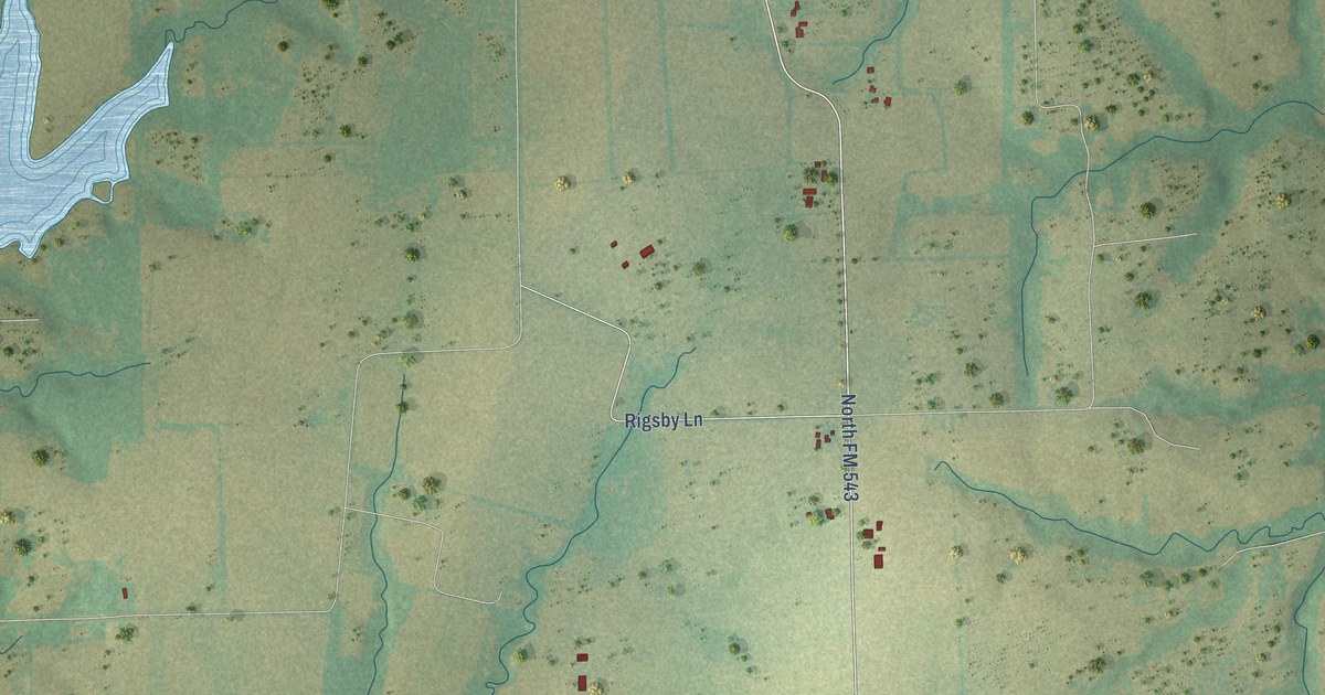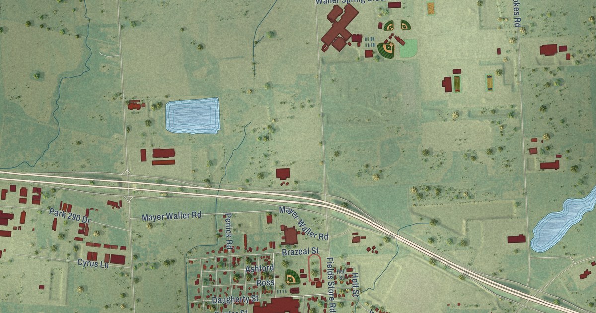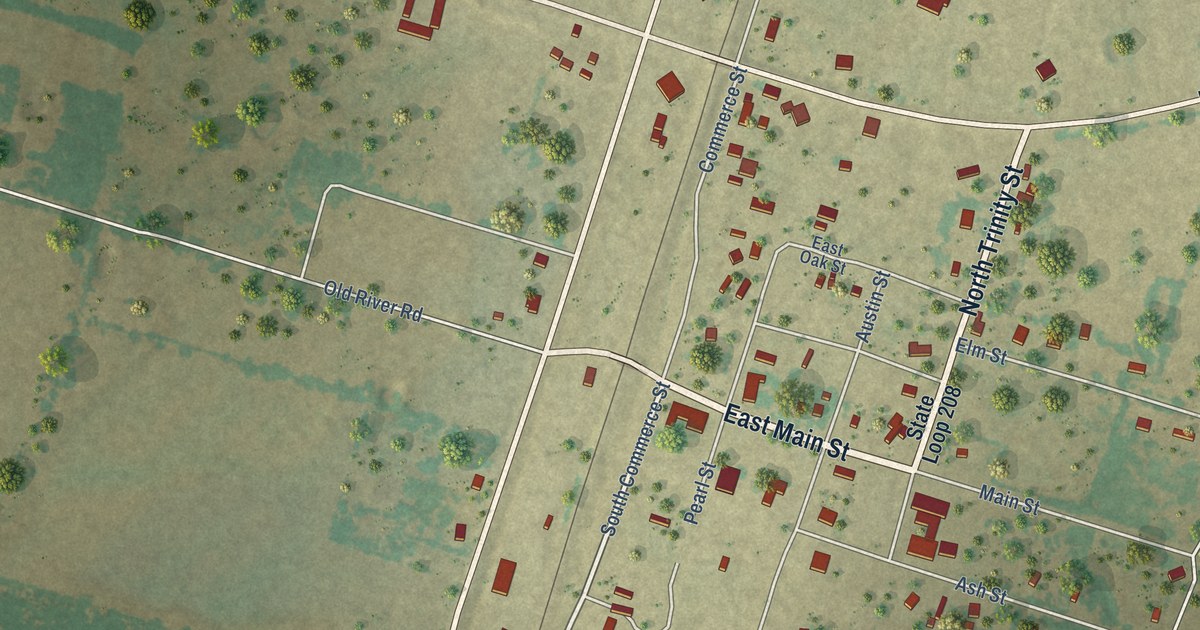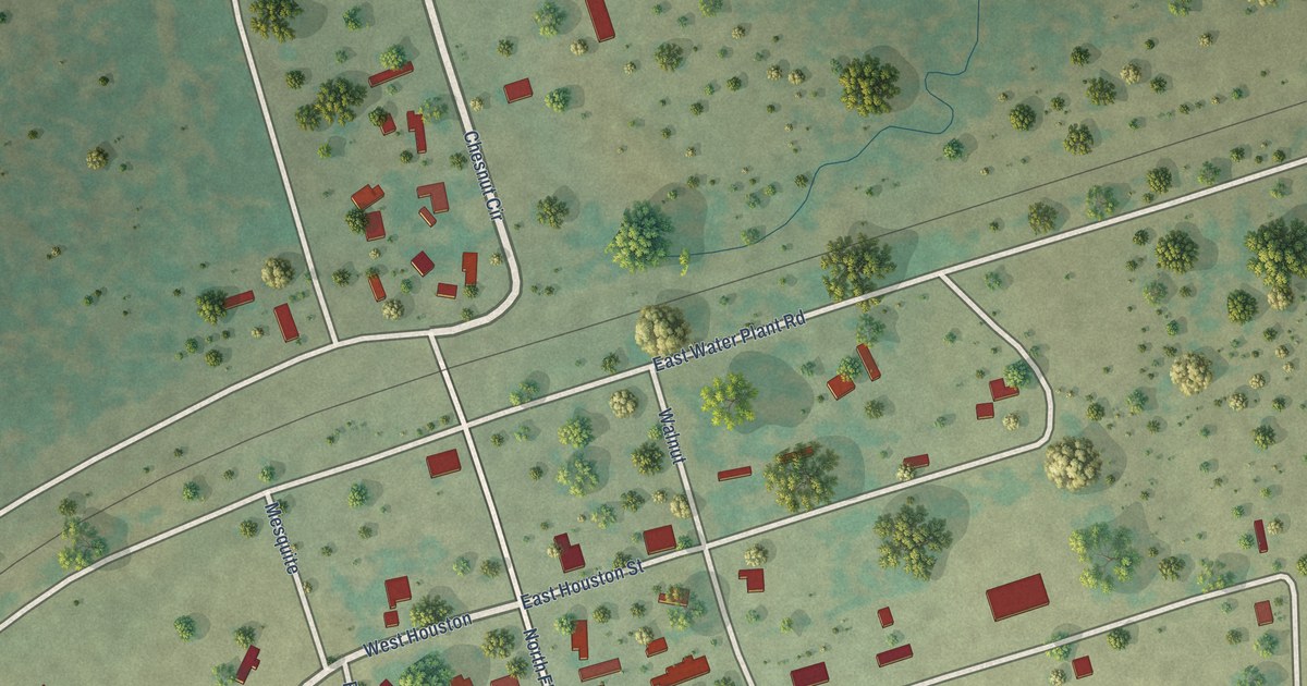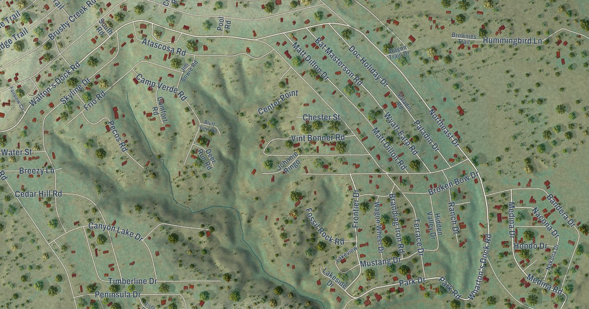
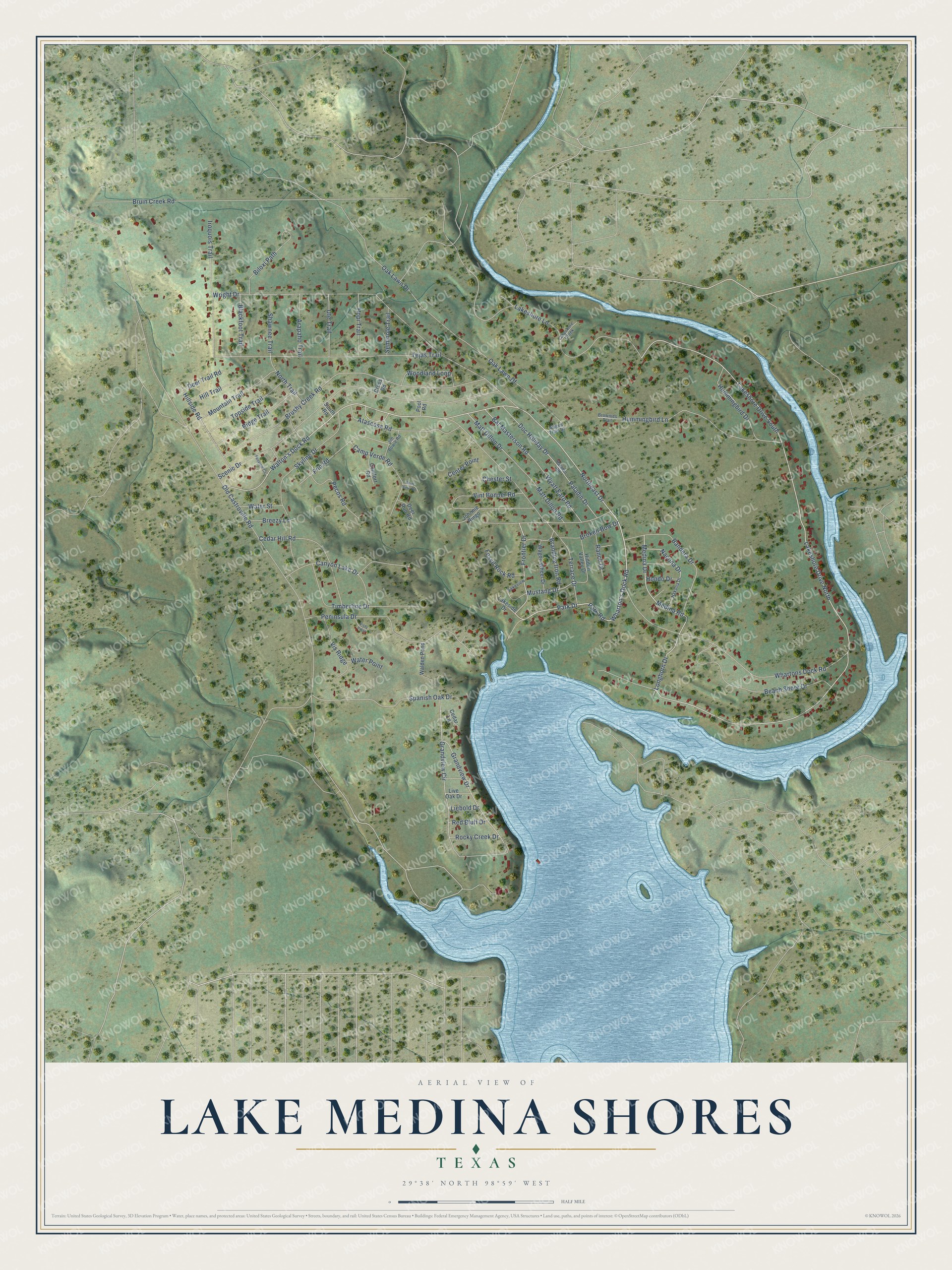
This beautifully detailed map of Lake Medina Shores, Texas was created in 2026 using aerial imagery combined with modern topographical, census, street and landmark data. It's a modern aerial view of Lake Medina Shores in Bandera County, Texas, that combines modern data with a vintage aesthetic. The roads feature printed names, and if you look closely you can find your exact house accurately shown in its correct location.
Explore an aerial view of Lake Medina Shores, Texas
On this map you'll find Park Drive, Park Road, Northeast Drive, Longhorn Drive, Walton's Dock Road, Frontier Drive, Wharton's Dock Road, Medina Drive, Whartons Dock Road, Bat Masterson Road, Hummingbird Lane, Mustang Drive, and more. Each red shape is a building, so zoom in on the preview and look for yours.
Lake Medina Shores is a community in Bandera County. The Census Bureau counted 1,110 people here in 2020. Lake Medina Shores sits about 3 miles west of Lakehills, 8 miles southeast of Bandera and 19 miles west of Grey Forest. The map prints the town name in its title panel, with the coordinates below it.
Take a closer look at the Lake Medina Shores map
Names on this map
These names are printed on this map.
Streets and roads: Park Drive, Park Road, Northeast Drive, Longhorn Drive, Walton's Dock Road, Frontier Drive, Wharton's Dock Road, Medina Drive, Whartons Dock Road, Lakeshore Drive North, Lakeshore Drive South, Bat Masterson Road.
More street names, A to Z
Arapaho Trail, Atascosa Road, Bandera Drive, Beach Shore Drive, Biloxi Path, Blackfoot Trail, Bluff View Road, Branding Iron Road, Breezy Lane, Broken Bow Drive, Brownies Trail, Bruin Creek Road, Brushy Creek Road, Camp Verde Road, Canyon Lake Drive, Cedar Hill Road, Cedar Lane, Center Point, Chester Street, Comfort Road, Cross Road, Deer Run Road, Deer Trail Road, Doc Holiday Drive, Fairview Circle, Fossil Rock Road, Frio Road, Grandview Circle, Grandview Drive, Hidden Valley Drive, Hillside Road, Hill Trail, Hondo Drive, Hopi Trail, Hummingbird Drive, Hummingbird Lane, Iroquois Trail, Jim Bowie Road, Johnnie Ringo, Lakeshore Creek, Lakeshore Lane, Lakeside Drive, Lakeview, Liebold Drive, Live Oak Drive, Matt Dillon Drive, Matt Dillon Road, Medina Road, Mountain Trail, Mustang Drive, Nacona Drive, Nakona Drive, North Trail, Oak Lawn Df, Oak Lawn Drive, Old Castroville Road, Paladin Drive, Paladin Road, Pecos Road, Peninsula Drive, Pool Road, Ranch Drive, Red Bluff Drive, Ridge Trail, Rocky Creek Drive, Scenic Drive, Seminole Trail, Shawnee Trail, Skyline Drive, South Road, Spanish Oak Drive, Tejas Trail, Terrace Drive, Timberline Drive, Topside Trail, Ute Trail, Vint Bonner Road, Vis Ridge, Vista Point, Wagon Train Drive, Wagon Wheel Drive, Walden Pond, Water Point, Water Street, Woodland Loop, Wright Drive, Wyatt Earp Road.
See it on a wall
The Lake Medina Shores map as a framed print. Swipe for more.


Created by KNOWOL in 2026. The buildings are small red shapes, the roads carry their printed names, and shaded relief shows the shape of the land. The title panel reads "AERIAL VIEW OF LAKE MEDINA SHORES, TEXAS" with 29°38' NORTH 98°59' WEST.
It suits a den, a classroom or a front hall, and it makes a gift for anyone with Lake Medina Shores roots. Open the preview and find the block you know. See sizes and frames for the Lake Medina Shores map.