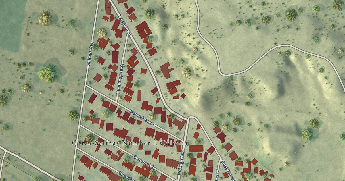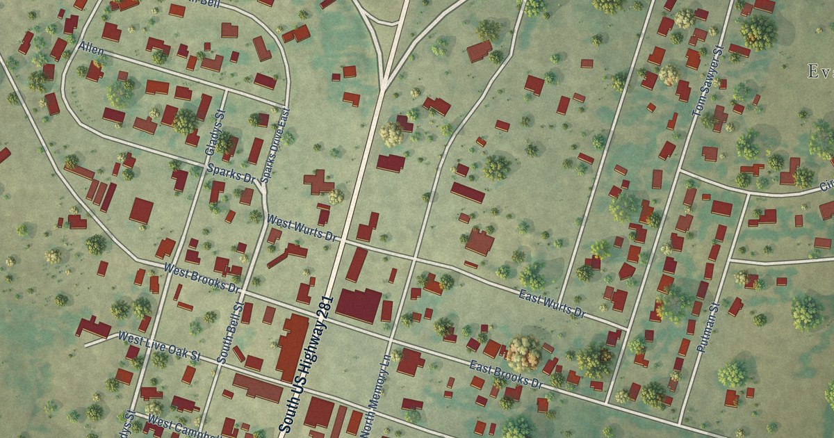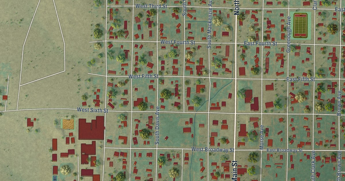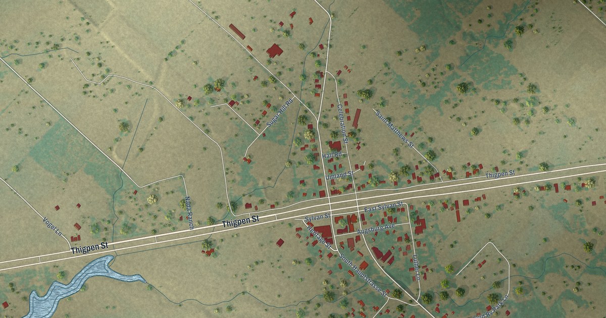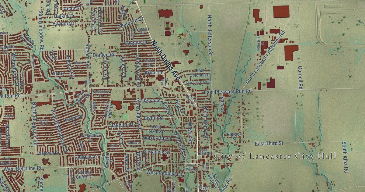
This beautifully detailed map of Lancaster, Texas was created in 2026 using aerial imagery combined with modern topographical, census, street and landmark data. It’s a one-of-a-kind view of Lancaster that combines accurate data with a vintage aesthetic. The map shows every building in its true location, many of the roads carry their names, and the shaded topographic relief shows the shape of the land.
Explore an aerial view of Lancaster, Texas
On the map you’ll find City of Lancaster City Hall, along with North Dallas Avenue, South Dallas Avenue, West Main Street, West Belt Line Road, East Belt Line Road, North Lancaster Hutchins Road, Belt Line Road, West Pleasant Run Road, Pleasant Run Road, Danieldale Road, Cedardale Road, and more. If you look closely you can even find your house accurately drawn in its correct location. Zoom in on the preview to look for yours.
Did you know this piece of Lancaster, Texas history?
From the Handbook of Texas: "A money-order office was operating in Lancaster by 1880, and in 1887 the Lancaster Herald was established by Joe T. Green. The Lancaster Tap Railroad, completed in 1890, connected Lancaster with the Houston and Texas Central at Hutchins, south of Dallas."
Take a closer look at the Lancaster map
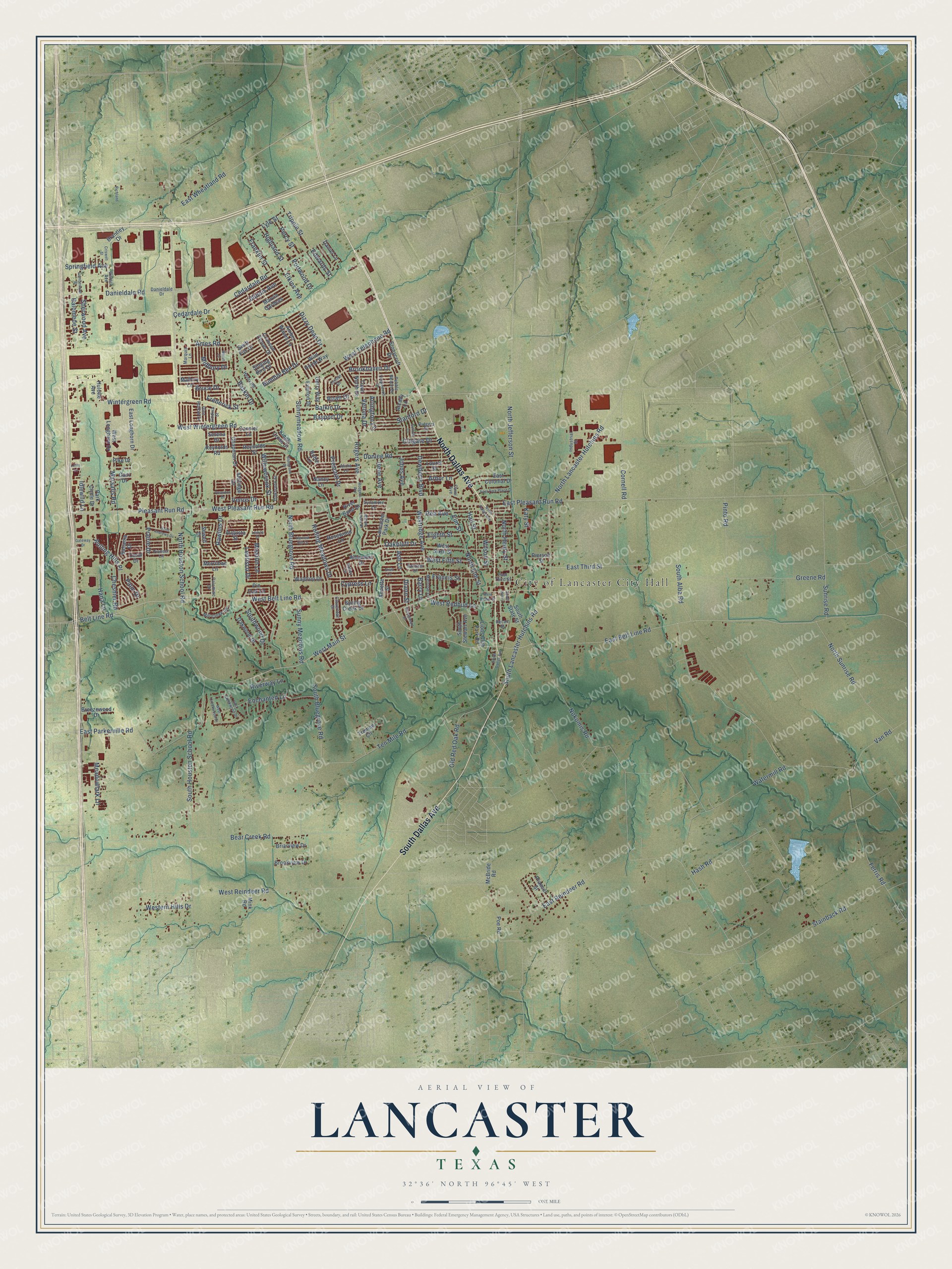
Street and place names on the Lancaster, Texas map
These names are printed on the map of Lancaster, Texas.
Places: City of Lancaster City Hall.
Streets and roads: North Dallas Avenue, South Dallas Avenue, West Main Street, West Belt Line Road, East Belt Line Road, North Lancaster Hutchins Road, Belt Line Road, West Pleasant Run Road, Pleasant Run Road, Danieldale Road, Cedardale Road, Rogers Avenue.
More street names, A to Z
Aldridge Drive, Alhambra Drive, Alicia Lane, Amber Waves Lane, Ames Road, Annette Street, Arbor Lane, Arcady Lane, Arlington Lane, Ash Lane, Augusta Street, Bahama Drive, Balkin Drive, Balomede Street, Barry Lane, Baskin Drive, Bayport Drive, Bear Creek Road, Bluegrove Drive, Bordner Drive, Brantley Drive, Breezewood Drive, Briarview Drive, Brookhaven Drive, Brookview Drive, Bruce Drive, Bumble Bee Drive, Cansler Lane, Carol Avenue, Cedardale Drive, Chapman Drive, Cheshier Road, Cloverleaf Drive, Colgate Drive, Conlin Drive, Coral Drive, Cornell Road, Crimson Clover Drive, Criswell Street, Cumberland Street, Cypress Lane, Danieldale Drive, Daniel Lane, Dewberry Boulevard, Diann Street, Dizzy Dean Drive, Donlee Road, East Colonial Drive, East Creekwood Drive, East Longhorn Drive, East Parkerville Road, East Park Place Drive, East Pleasant Run Road, East Reindeer Road, East Third Street, East Wheatland Road, Edwards Street, Eighth Street, Elkins Avenue, Elm Street, Enchanted Lane, Everton Drive, Ferris Road, Francis Street, Franklin Street, Frederick Street, Gant Drive, Gateway Drive, Gerry Way, Glen Hollow Drive, Godiva Street, Greene Road, Halley Lane, Hall Street, Hana Lane, Harvest Hill Lane, Hash Road, Henry Road, Highland Street, Homestead Drive, Hulette Avenue, Idlewild Lane, Illinois Avenue, Industrial Street, Irene Avenue, Johns Avenue, Katy Street, Kings Cross Drive, Lancaster Park Drive, Laurel Street, Lemita Drive, Lentisco Drive, Lions Club Park Road, Lotus Lane, Lyle Street, Mallory Lane, Marquis Lane, Marsalis Road, Marsh Drive, Marvin Gardens, McBride Road, Meadowlark Lane, Melrose Lane, Merrimac Lane, Midbury Drive, Mill Creek Road, Mink Road, Mission Lane, Nancy Lane, Nokomis Road, North Bluegrove Road, North Elm Street, North Henry Street, North Houston School Road, North Jefferson Street, North Sunrise Road, Oakbluff Drive, Oakbrook Street, Oakwood Drive, Old Red Oak Road, Palm Drive, Palomino Drive, Park Circle Drive, Pebble Beach Drive, Pecan Street, Percy Street, Pierson Street, Pike Drive, Pin Oak Lane, Pinto Road, Pioneer Lane, Poe Road, Portwood Drive, Poseidon Drive, Prairie Drive, Prancer Street, Prescott Drive, Rawlins Drive, Rea Avenue, Reynolds Road, Reynolds Street, Richland, River Bend Drive, Riverway Lane, Roan Drive, Robin Lane, Rodgers Avenue, Rolling Hills Place, Rolling Meadows Drive, Rosewood Lane, Rutgers Drive, Saint Andrews Drive, Serena Drive, Sewell Drive, Shell Lane, Sherwood Avenue, Singing Bird Drive, South Alba Road, South Bluegrove Road, South Henry, South Houston School Road, South Lancaster Hutchins Road, South State Street, South Stewart Avenue, Southwood Drive, Spring Creek Drive, Springfield Avenue, Stainback Road, Stanford Drive, Stonycroft Drive, Suffolk Lane, Sunnymeadow Road, Sunny Meadows Road, Sunrise Road, Swift Fox Drive, Sycamore Lane, Tanglewood Drive, Ten Mile Road, Town North Drive, Trippie Street, Truman Circle, Van Road, Venus Drive, Verona Drive, Waldrop Drive, Watermill Road, Waters Avenue, West Cedar Street, West Creekwood Drive, Western Hills Drive, West Fifth Street, West Longhorn Drive, West Redbud Lane, West Reindeer Road, Westridge Avenue, West Sixth Street, West Telephone Road, West Wintergreen Road, Wild Horse Way, Willowbrook Street, Willow Creek Drive, Wilson Street, Wintergreen Road.
See the Lancaster, Texas map on a wall
The Lancaster map as an 18 x 24 inch print in a black frame.

This beautifully detailed map of Lancaster makes an attractive addition to your office, library, or den, and it can even be used to teach children the geography and history of the area. It also makes a great gift for anyone with Lancaster roots. When you’re done exploring, click here to get your copy of the Lancaster map.