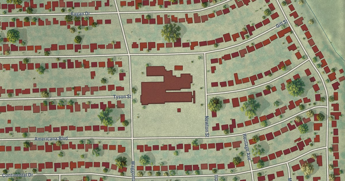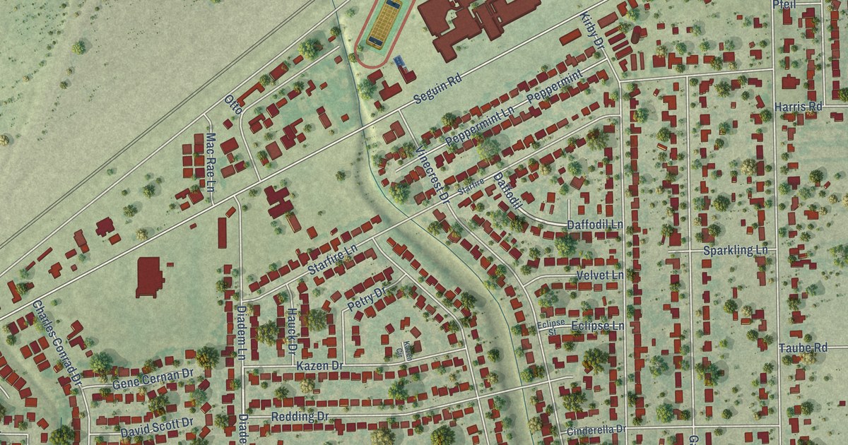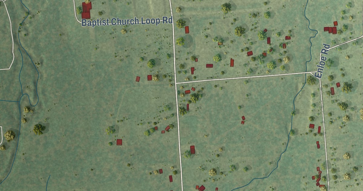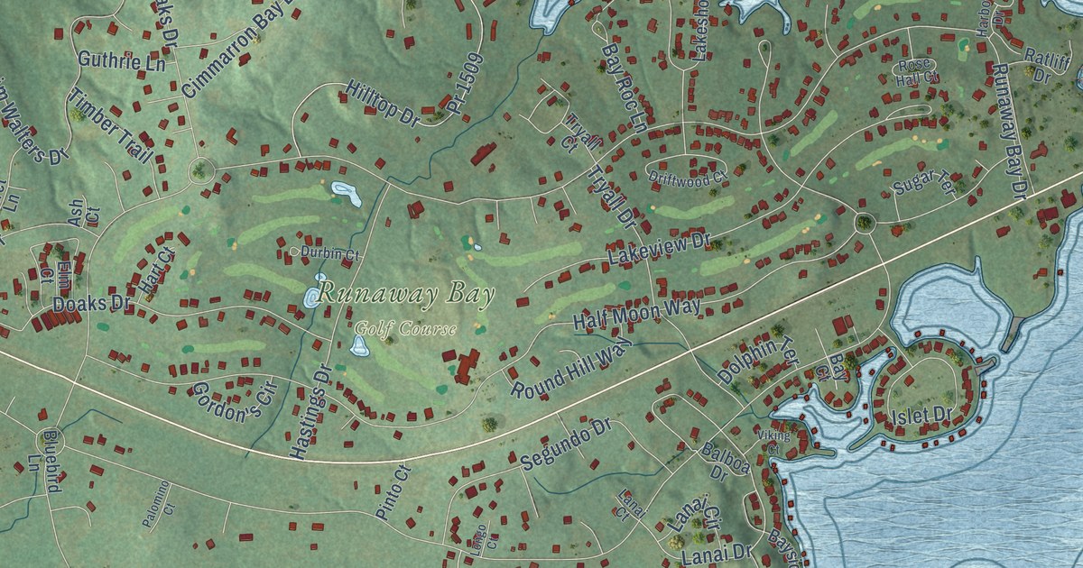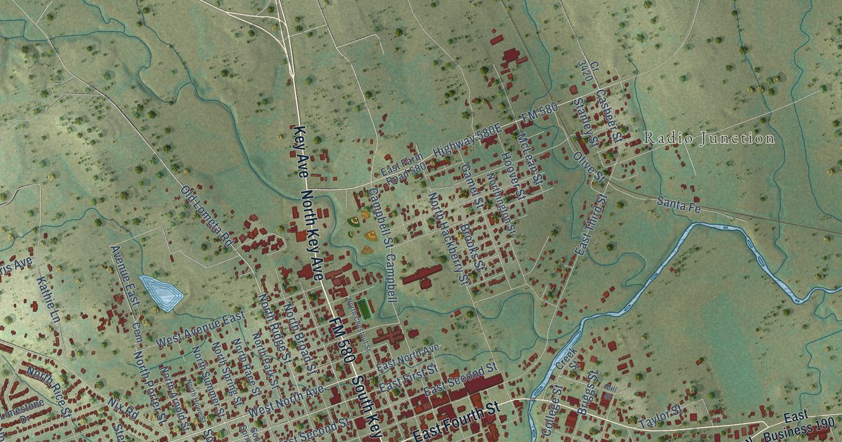
This beautifully detailed map of Lampasas, Texas was created in 2026 using aerial imagery combined with modern topographical, census, street and landmark data. It’s a one-of-a-kind view of Lampasas that combines accurate data with a vintage aesthetic. The map shows every building in its true location, many of the roads carry their names, and the shaded topographic relief shows the shape of the land.
Explore an aerial view of Lampasas, Texas
On the map you’ll find Lampasa City Hall and Radio Junction, along with South Key Avenue, FM 580, North Key Avenue, Key Avenue, South US Highway 183, American Legion Memorial Highway, East Fourth Street, Central Texas Expressway, Plum Street, North US Highway 281, and more. If you look closely you can even find your house accurately drawn in its correct location. Zoom in on the preview to look for yours.
Did you know this piece of Lampasas, Texas history?
From the Handbook of Texas: "John Burleson, the county’s first resident, was awarded 1,280 acres of land including the present Lampasas townsite on April 26, 1838, in return for his services during the Texas Revolution."
Take a closer look at the Lampasas map
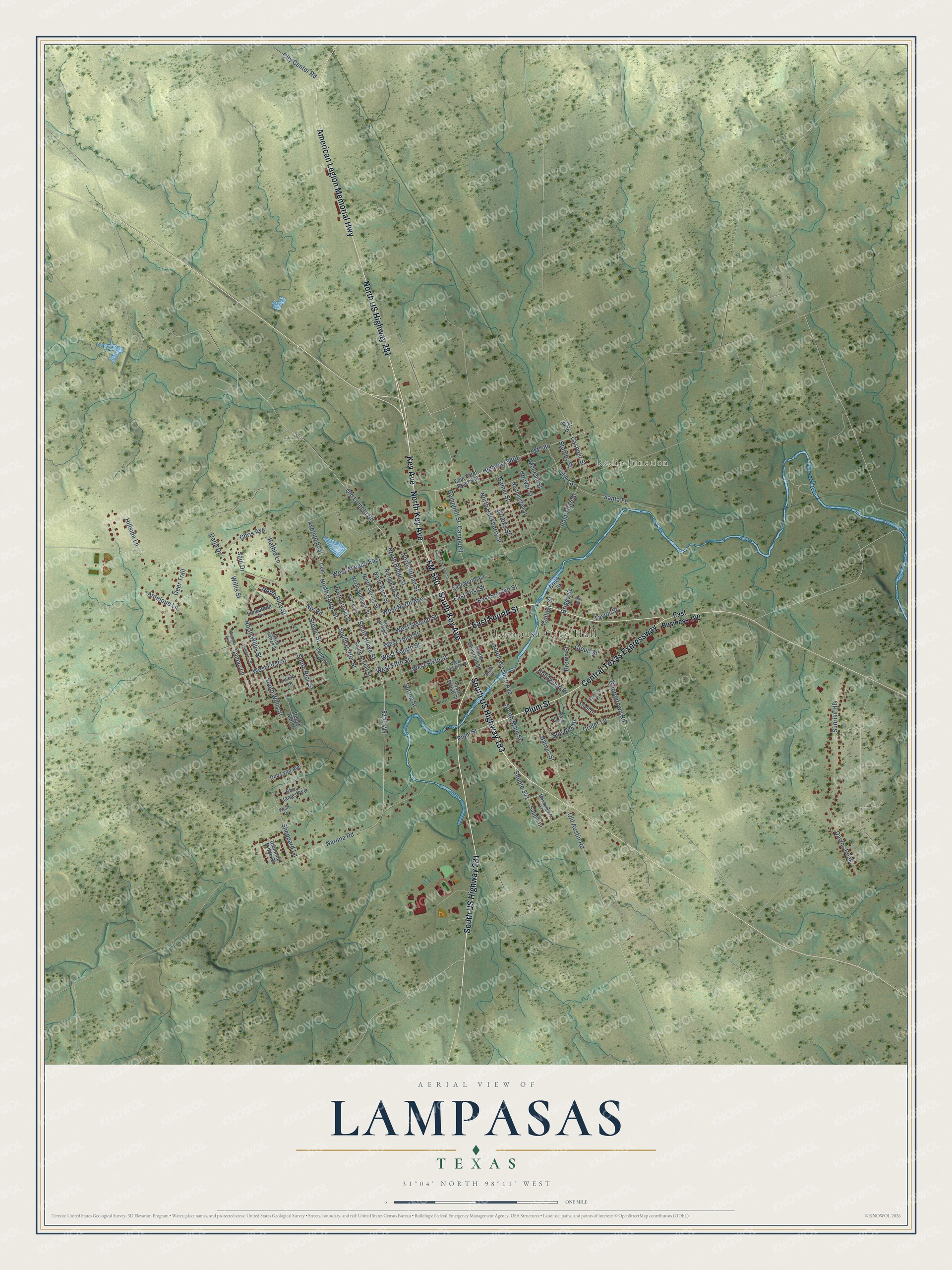
Street and place names on the Lampasas, Texas map
These names are printed on the map of Lampasas, Texas.
Places: Lampasa City Hall and Radio Junction.
Streets and roads: South Key Avenue, FM 580, North Key Avenue, Key Avenue, South US Highway 183, American Legion Memorial Highway, East Fourth Street, Central Texas Expressway, Plum Street, North US Highway 281, South US Highway 281, West North Avenue.
More street names, A to Z
Antelope Lane, Avenue East, Barnes Street, Briggs Street, Brooks Street, Brown Street, Campbell, Campbell Street, Casbeer Street, Castleberry Street, Cem, Chris Avenue, Chris James Avenue, City Center Road, Cloud Street, College Street, Cr 3420, Creek Street, Crider Lane, Dana Drive, Dawns Peak, Deb Lynn Avenue, Deer Trail, Diamond Ridge Drive, East Business 190, East Farm Road 580, East First Street, East North Avenue, East Second Street, East Third Street, FM 1478, Gamel Street, Georgetown Road, Hillside Lane, Hollywood Drive, Hoover Street, Kathie Lane, Landon Drive, Limestone Drive, Lively Lane, McLean Street, Mill Street, Mockingbird Lane, Naruna Road, Nix Road, North Arnold Street, North Broad Street, North Chestnut Street, North Hackberry Street, North Harrell Street, North Howe Street, Northington Street, North Park Street, North Porter Street, North Race Street, North Rice Street, North Ridge Street, North Spring Street, North Summer Street, North Willis Street, Old Austin Road, Old Lometa Road, Olive Street, Park Lane, Peggy Nell Drive, Ramsey Lane, Samac Lane, Santa Fe, Saul Drive, Sheppard Lane, Skypcha Trail, Snell Drive, South Arnold Street, South Broad Street, South Chestnut Street, South Howe Street, South Main Street, South Porter Street, South Rice Street, South Spring Street, South Street, South Western Avenue, South Willis Street, Spring Street, Stanley Street, Steele Street, Sue Ann Drive, Sunrise Hls, Supple 341, Supple Drive, Taylor Street, West Avenue East, West Fifth Street, West First Street, West Fourth Street, West Second Street, West Seventh Street, West Sixth Street, West Third Street, Willis Street, Wolfe Drive.
See the Lampasas, Texas map on a wall
The Lampasas map as an 18 x 24 inch print in a black frame.

This beautifully detailed map of Lampasas makes an attractive addition to your office, library, or den, and it can even be used to teach children the geography and history of the area. It also makes a great gift for anyone with Lampasas roots. When you’re done exploring, click here to get your copy of the Lampasas map.