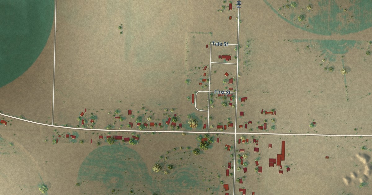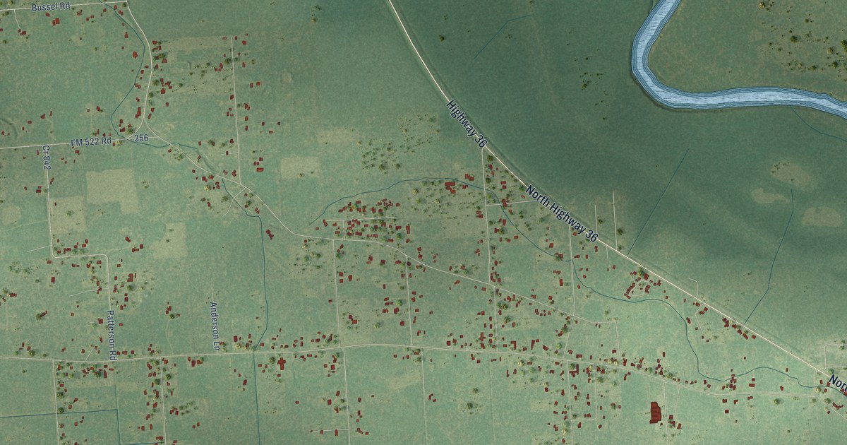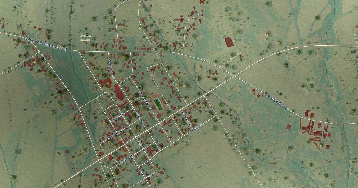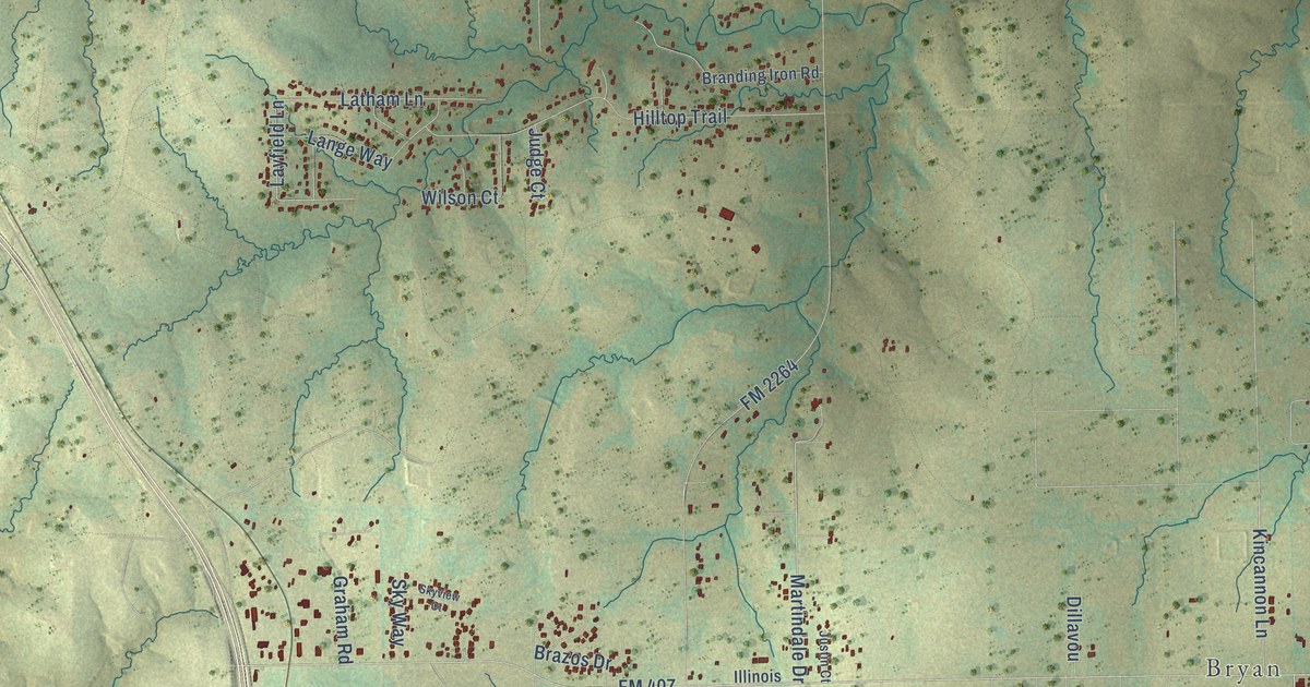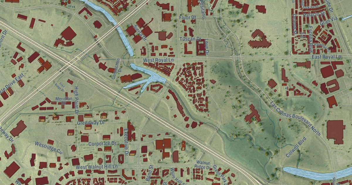
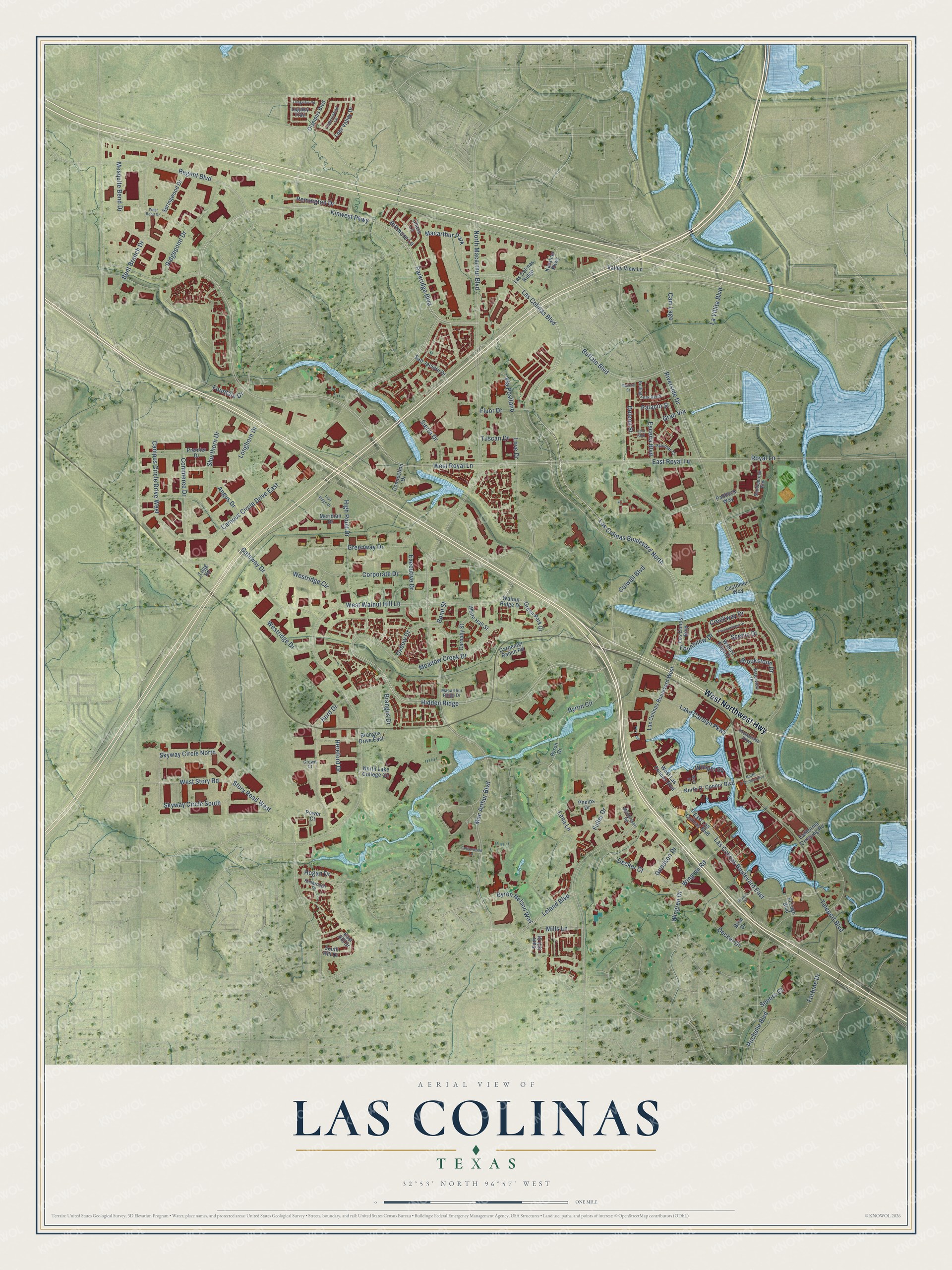
This beautifully detailed map of Las Colinas, Texas was created in 2026 using aerial imagery combined with modern topographical, census, street and landmark data. It’s a one-of-a-kind view of Las Colinas that combines accurate data with a vintage aesthetic. The map shows every building in its true location, many of the roads carry their names, and the shaded topographic relief shows the shape of the land.
Explore an aerial view of Las Colinas, Texas
On the map you’ll find Hidden Ridge, along with West Northwest Highway, Kinwest Parkway, Parkridge Boulevard, Las Colinas Boulevard North, Buffalo Boulevard, West Royal Lane, North Macarthur Boulevard, Mac Arthur Boulevard, Las Colinas Boulevard, East Royal Lane, West Walnut Hill Lane, and more. If you look closely you can even find your house accurately drawn in its correct location. Zoom in on the preview to look for yours.
Did You Know?
This land began as Hackberry Creek Ranch, owned by businessman John W. Carpenter. Flossie, his wife, gave it a Spanish name, El Ranchito de las Colinas. In English that means Little Ranch of the Hills. In 1972 their son Ben H. Carpenter, a cattle rancher, built a planned town on the ranch. It was one of the earliest such towns in America.
Take a closer look at the Las Colinas map
Names on this map
These names are printed on this map.
Places: Macarthur Park.
Streets and roads: West Northwest Highway, Hidden Ridge, Kinwest Parkway, Parkridge Boulevard, Las Colinas Boulevard North, Buffalo Boulevard, West Royal Lane, North Macarthur Boulevard, Mac Arthur Boulevard, Las Colinas Boulevard, East Royal Lane, West Walnut Hill Lane.
More street names, A to Z
Angus Drive, Bent Branch Drive, Biltmore Lane, Bond Street, Brangus Drive, Brangus Drive East, Brazos Drive, Brim Drive, Brookstone Drive, Byron Circle, Byron Court, Byron Nelson Way, California Crossing Road, Cam Lago, Campus Circle Drive East, Campus Circle Drive West, Carnaby Street, Carpenter Ranch Road, Cero Boulevard, Chase Lane, Colwell Boulevard, Commerce Drive, Connection Drive, Corporate Drive, Cottonwood Lane, Creekway Drive, Crown Court, Customer Way, Decker Court, Decker Drive, Deleon Street, East Hill Drive, East Las Colinas Boulevard, El Lago Boulevard, Escena Boulevard, Executive Drive, Fluor Drive, Fortune Drive, Fountain Drive, Fountainview Drive, Fountview Drive, Fuller Drive, Gateway Drive, Goodson Drive, Gran Via, Green Park Drive, Greenway Drive, Hereford Drive, High Point Drive, Hogan Drive, Hurd Drive, Karahan Parkway, Kimbrough Drive, Lake Carolyn Parkway, Las Colinas Boulevard East, Las Colinas Boulevard West, Las Colinas Ridge, La Villita Boulevard, Legacy Trail, Leland Boulevard, Lena Lane, Lindenwood Lane, Lohr Valley Drive, Longhorn Drive, Longview Road, Los Conos Boulevard, Love Drive, Macarthur Ridge Drive, Maceta Street, Meadow Creek Drive, Meridian Drive, Mesquite Bend Drive, Mills Lane, Montessori Road, North Lake College Circle, North O' Connor Boulevard, North O'Connor Boulevard, Olympus Boulevard, Oxbow Drive, Paddock Way, Palacio Street, Palomar Court, Phelps Drive, Power Court, Premier Drive, Promenade Parkway, Regent Boulevard, Remington Drive, Ridgepoint Drive, Riverside Drive, Rochelle Boulevard, Rolling Fork Bend, Royal Lane, Saddlebrook Way, Sam Hill Street, San Jacinto Drive, Scenic Drive, Shorthorn Drive, Sierra Drive, Skyway Circle North, Skyway Circle South, Sonora Court, South Hill Drive, Springwood Drive, Story Road West, Teleport Boulevard, Trail Ridge Drive, Trigg Road, Tuscan Drive, Valley View Lane, Via Positano, Walnut Ridge Drive, Waters Edge Drive, Waterview Drive, West Bend Drive, West Drive, West Las Colinas Boulevard, Westridge Circle, Westridge Drive, West Story Road, White Hall Street, William Square, Wingren Drive, Wingren Road.
See it on a wall
The Las Colinas map as a framed print. Swipe for more.


This beautifully detailed map of Las Colinas makes an attractive addition to your office, library, or den, and it can even be used to teach children the geography and history of the area. It also makes a great gift for anyone who grew up in Las Colinas or moved away. When you’re done exploring, click here to get your copy of the Las Colinas map.