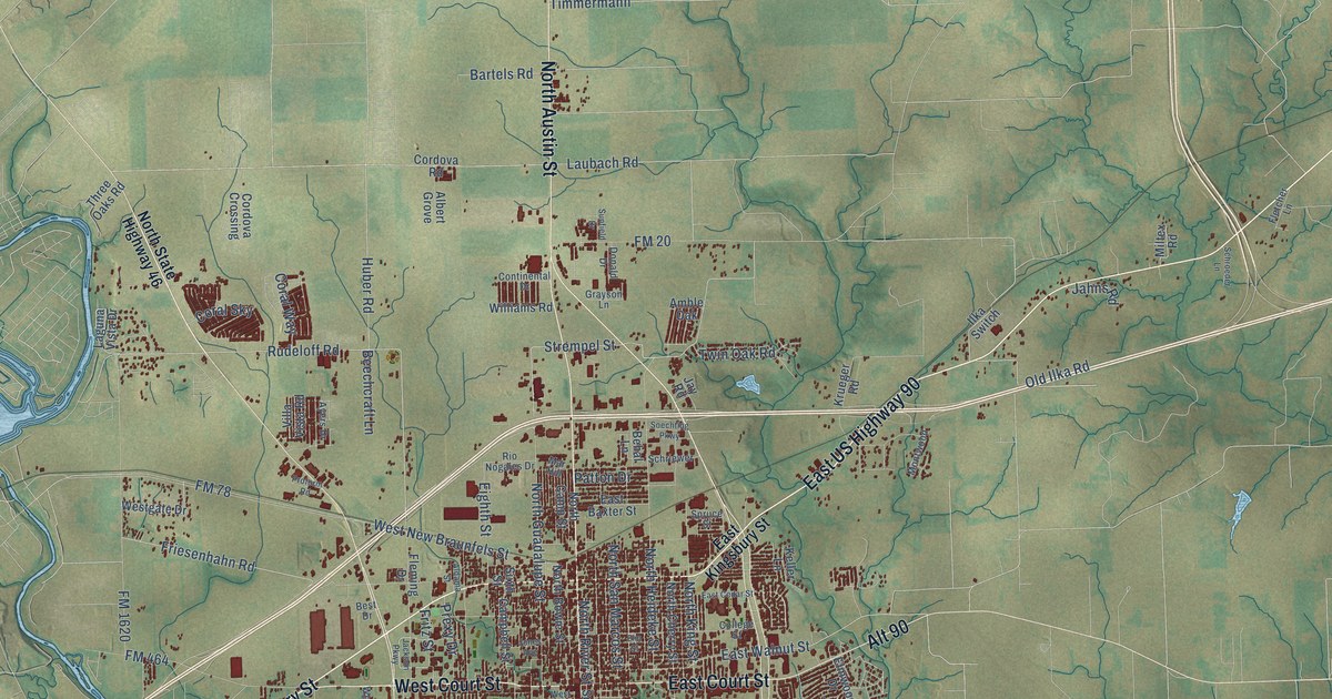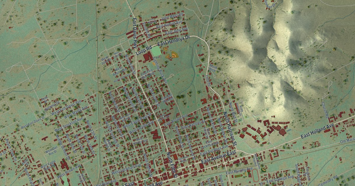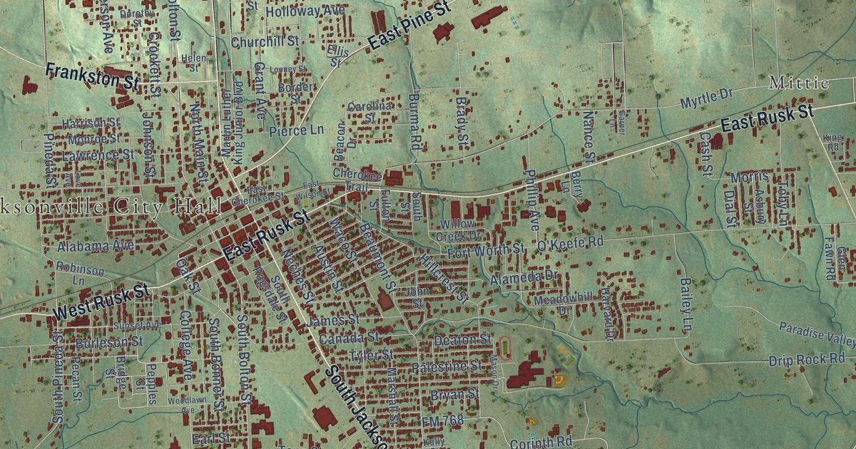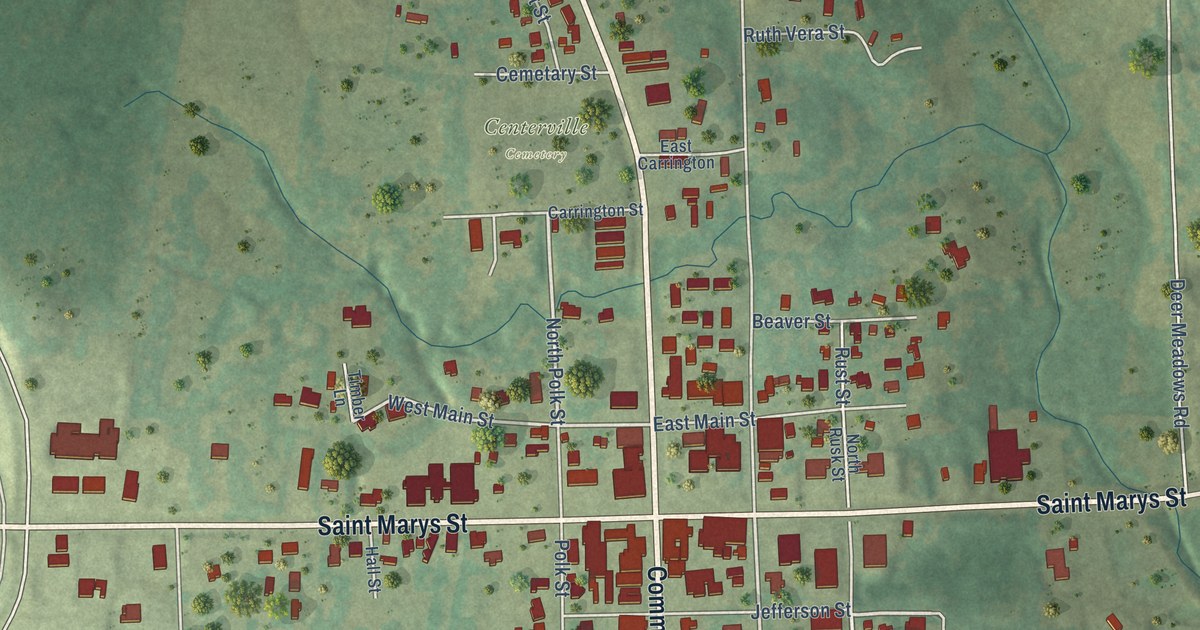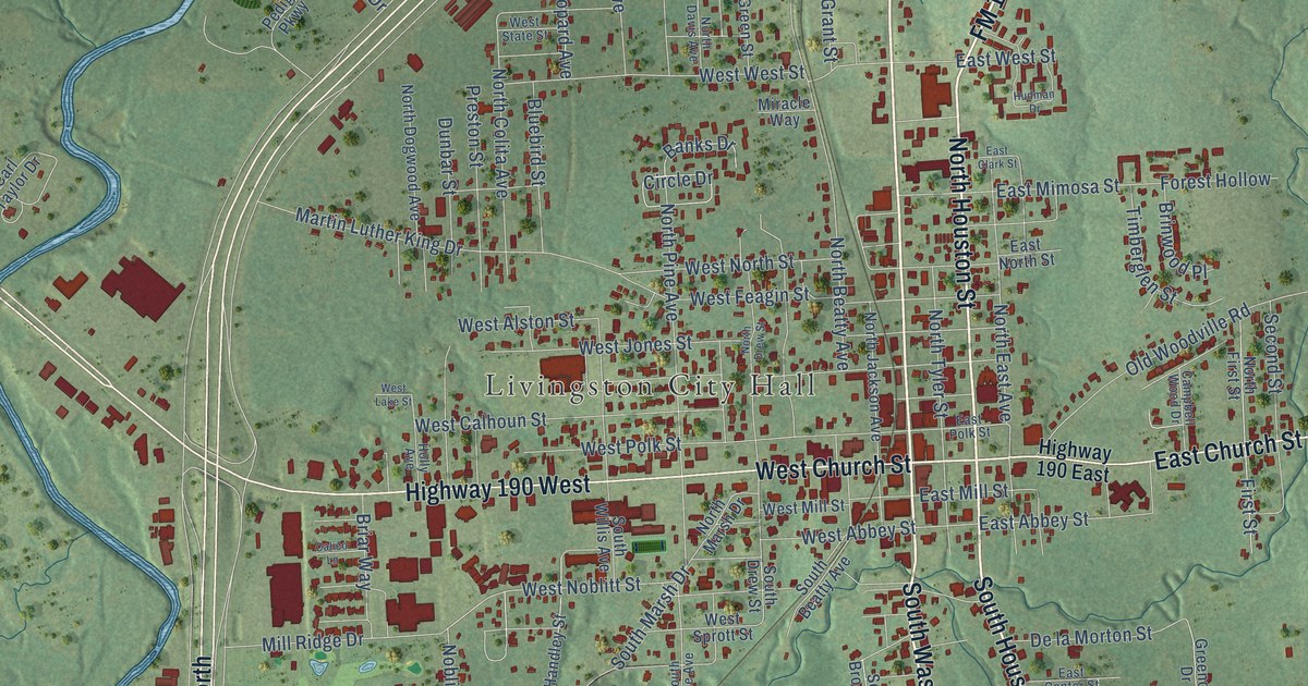
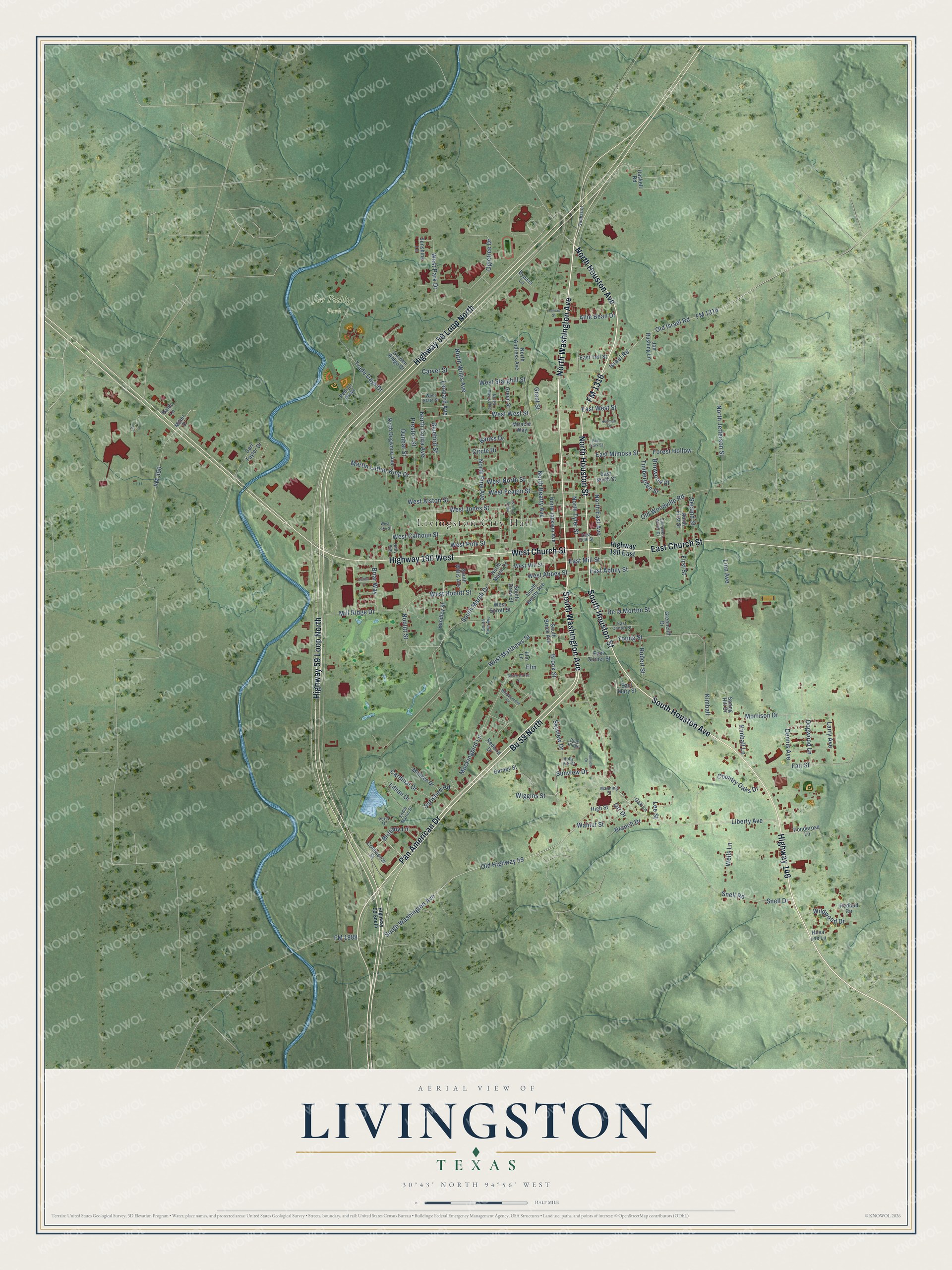
This beautifully detailed map of Livingston, Texas was created in 2026 using aerial imagery combined with modern topographical, census, street and landmark data. It's a modern aerial view of Livingston in Polk County, Texas, that combines modern data with a vintage aesthetic. The roads feature printed names, and if you look closely you can find your exact house accurately shown in its correct location.
Explore an aerial view of Livingston, Texas
On this map you'll find Livingston City Hall, Joe Pedigo Park, South Houston Avenue, North Washington Avenue, North Houston Street, Bu 59 North, Highway 146, South Washington Avenue, North Houston Avenue, South Houston Street, Pan American Drive, FM 1316, and more. Each red shape is a building, so zoom in on the preview and look for yours.
Here is a piece of Livingston history, in the words of the record. The Handbook of Texas puts it this way: "Although fire destroyed much of the town in 1902 during a dry-wet controversy, development in Livingston continued."
Livingston is a town in Polk County. The Census Bureau counted 5,640 people here in 2020.
Take a closer look at the Livingston map
Names on this map
These names are printed on this map.
Places: Livingston City Hall and Joe Pedigo Park.
Streets and roads: South Houston Avenue, North Washington Avenue, North Houston Street, Bu 59 North, Highway 146, South Washington Avenue, North Houston Avenue, South Houston Street, Pan American Drive, FM 1316, East Church Street, Highway 190 West.
More street names, A to Z
Allie Bean Drive, Banks Drive, Barney Street, Bluebird Street, Blue Ridge, Branch Drive, Briar Way, Brinwood Place, Brittany Lane, Brock Street, Bypass Lane, Calico Lane, Campbell Wood Drive, Cardinal Drive, Carl Taylor Drive, Carver Street, Chick-A-Dee Street, Circle Drive, Commerce Street, Country Oaks Drive, De la Morton Street, Dennis Avenue, Dogwood Lane, Dunbar Street, East Abbey Street, East Center Street, East Clark Street, East Garner Street, East Mary Street, East Mill Street, East Mimosa Street, East North Street, East Polk Street, East West Street, East Yell Street, Eddie Martin Drive, Elm, Elm Lane, Fair Street, First Street, FM 350, FM 1988, Forest Hollow, Francis Street, Garden Ridge Drive, Grant Street, Greencliff Drive, Green Street, Gunbarrel, Handley Street, Haskell Road, High Street, Highway 59 Loop North, Highway 59 South, Highway 190 East, Hillview Drive, Holly Avenue, Holly Hill Drive, Hudman Drive, Israel Road, Joe Rushing Lane, Kimball, Kimball Lane, Larry Avenue, Lee Street, Leopard Avenue, Liberty Avenue, Lillian Drive, Lilo Lane, Lion Avenue, Manning Street, Martin Luther King Drive, Miller Street, Milliken Drive, Mill Ridge Drive, Miracle Way, Mockingbird Lane, Morrison Drive, Noblitt Street, North Andress Avenue, North Beatty Avenue, North Colita Avenue, North Davis Avenue, North Dogwood Avenue, North Drew Street, North East Avenue, North First Street, North Jackson Avenue, North Jefferson Street, North Marsh Drive, North Pine Avenue, North Tyler Street, North Willis Avenue, Nova Lee Lane, Oak Lane, Ogletree Drive, Old Highway 59, Old Israel Road, Old Woodville Road, Orr Drive, Pedigo Parkway, Perry Drive, Ponderosa Lane, Preston Street, Raido Lane, Redbird Drive, Redbud Circle, Robert Street, Satisfied Road, Second Street, Skyview Drive, Snell Drive, Snell Road, South Beatty Avenue, South Brock Avenue, South Drew Street, South Marsh Drive, South Pine Avenue, South Willis Avenue, Spring Hill Drive, Sunshine Lane, Sunview Drive, Timberglen Street, Trade Days Drive, Walnut Street, Wells Lane, West Abbey Street, West Alston Street, West Calhoun Street, West Church Street, West Feagin Street, West Jones Street, West Lake Street, West Matthews Street, West Mill Street, West Noblitt Street, West North Street, West Park Drive, West Polk Street, West Sprott Street, West Starghill Street, West State Street, West West Street, Whippoorwill Drive, Wiggins Street, Wildwood Drive, Young Street.
Created by KNOWOL in 2026. The buildings are small red shapes, the roads carry their printed names, and shaded relief shows the shape of the land. The title panel reads "AERIAL VIEW OF LIVINGSTON TEXAS" with 30°43' NORTH 94°56' WEST.
It suits a den, a classroom or a front hall, and it makes a gift for anyone with Livingston roots. Open the preview and find the block you know. See sizes and frames for the Livingston map.