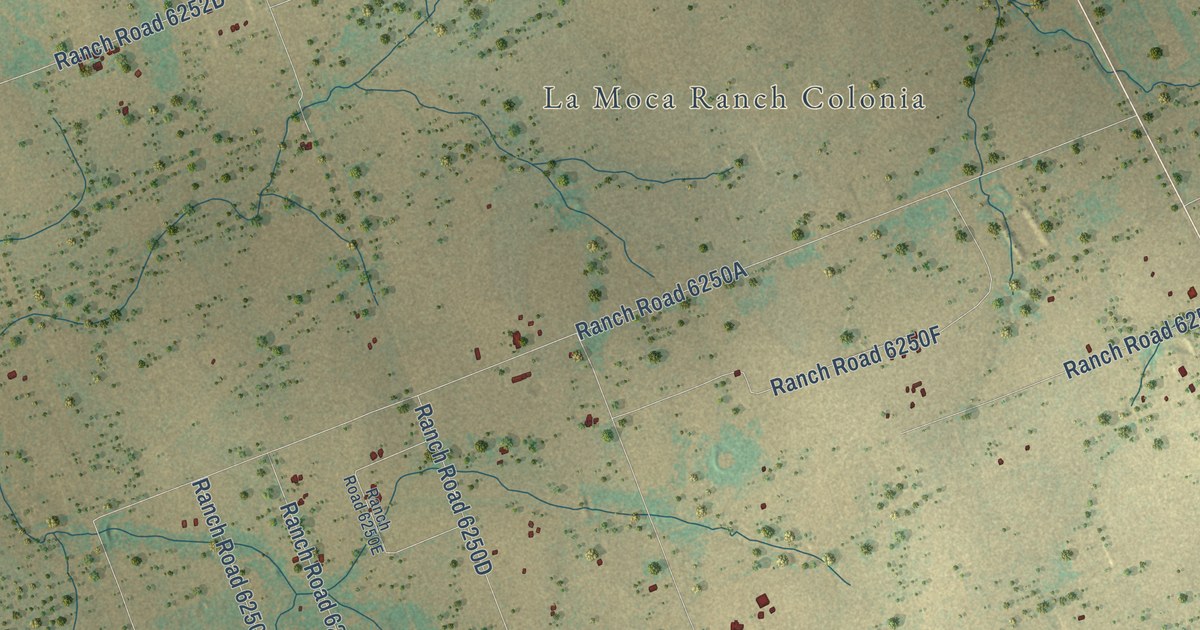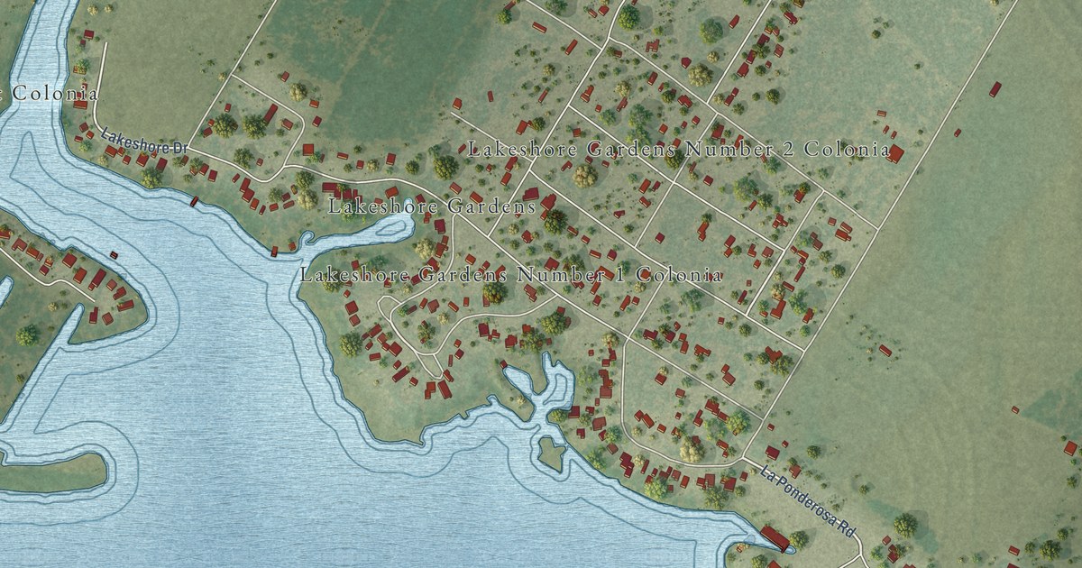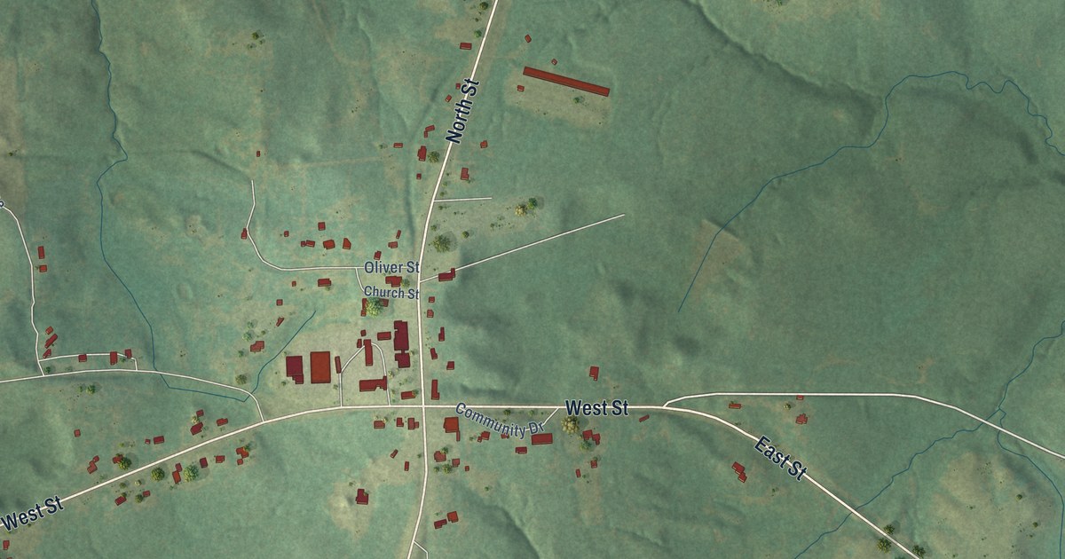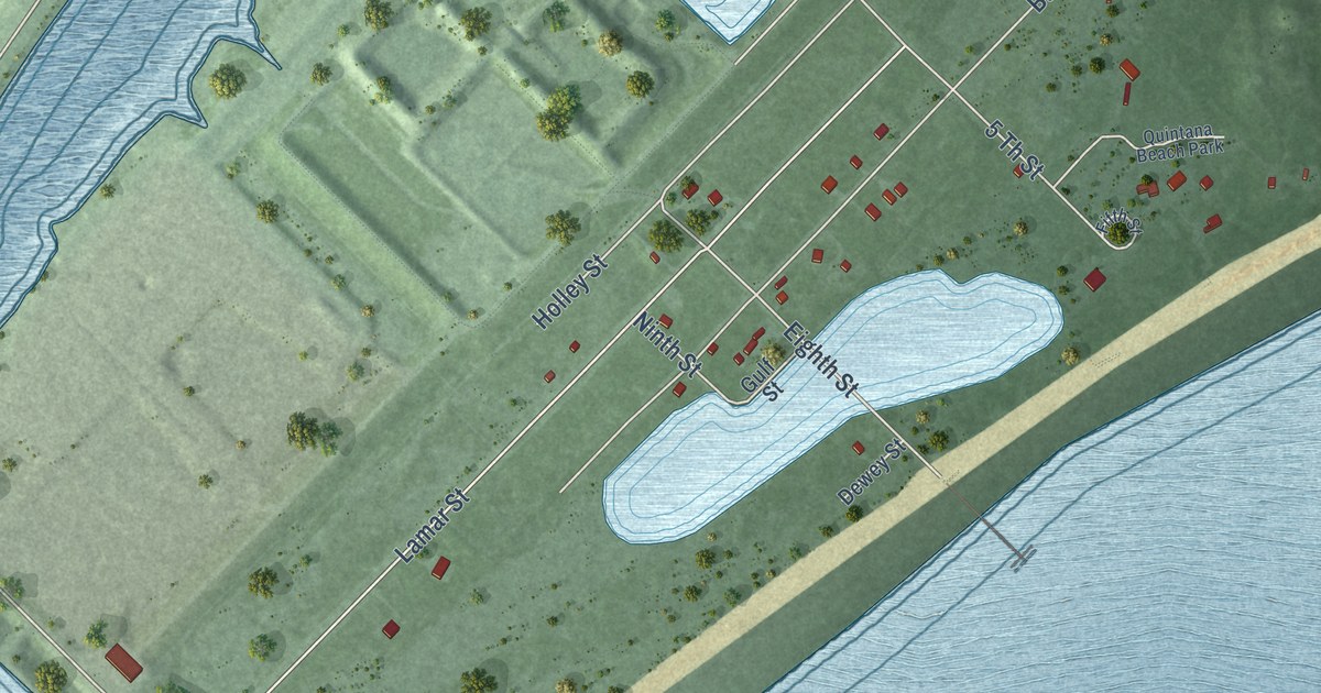
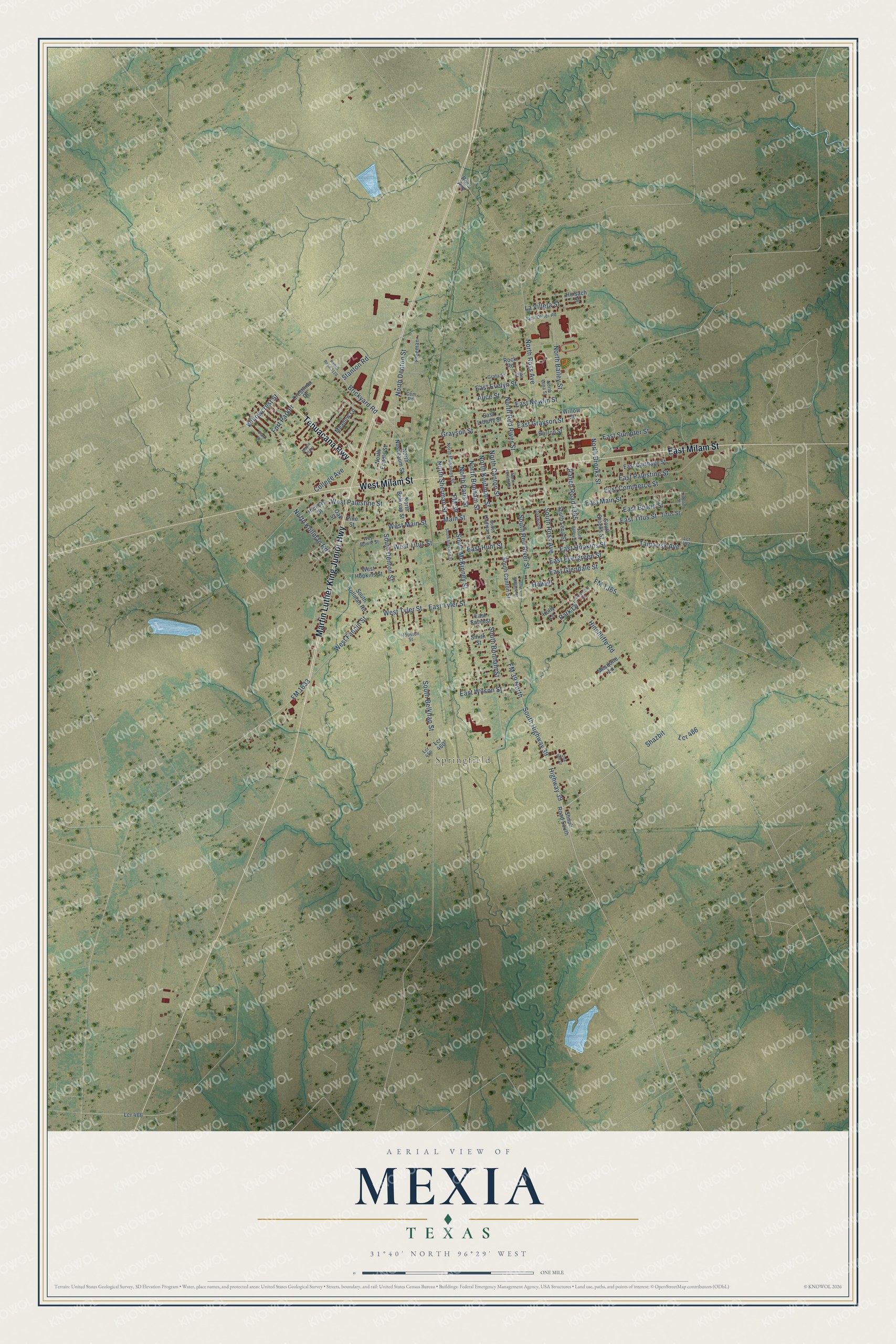
This beautifully detailed map of Mexia, Texas was created in 2026 using aerial imagery combined with modern topographical, census, street and landmark data. It’s a one-of-a-kind view of Mexia that combines accurate data with a vintage aesthetic. The map shows every building in its true location, many of the roads carry their names, and the shaded topographic relief shows the shape of the land.
Explore an aerial view of Mexia, Texas
On the map you’ll find Springfield, Shazbit, and Lcr 486, along with East Milam Street, Martin Luther King Junior Highway, West Milam Street, Tehuacana Highway, Highway 39, South Highway 39, FM 39 North, Tamarisk Avenue, East Hopkins Street, and more. If you look closely you can even find your house accurately drawn in its correct location. Zoom in on the preview to look for yours.
Did you know this piece of Mexia, Texas history?
From the Handbook of Texas: "Between 1904 and 1906 the Trinity and Brazos Valley Railway built track between Hillsboro and Houston, making Mexia a commercial crossroads for area farmers."
Take a closer look at the Mexia map
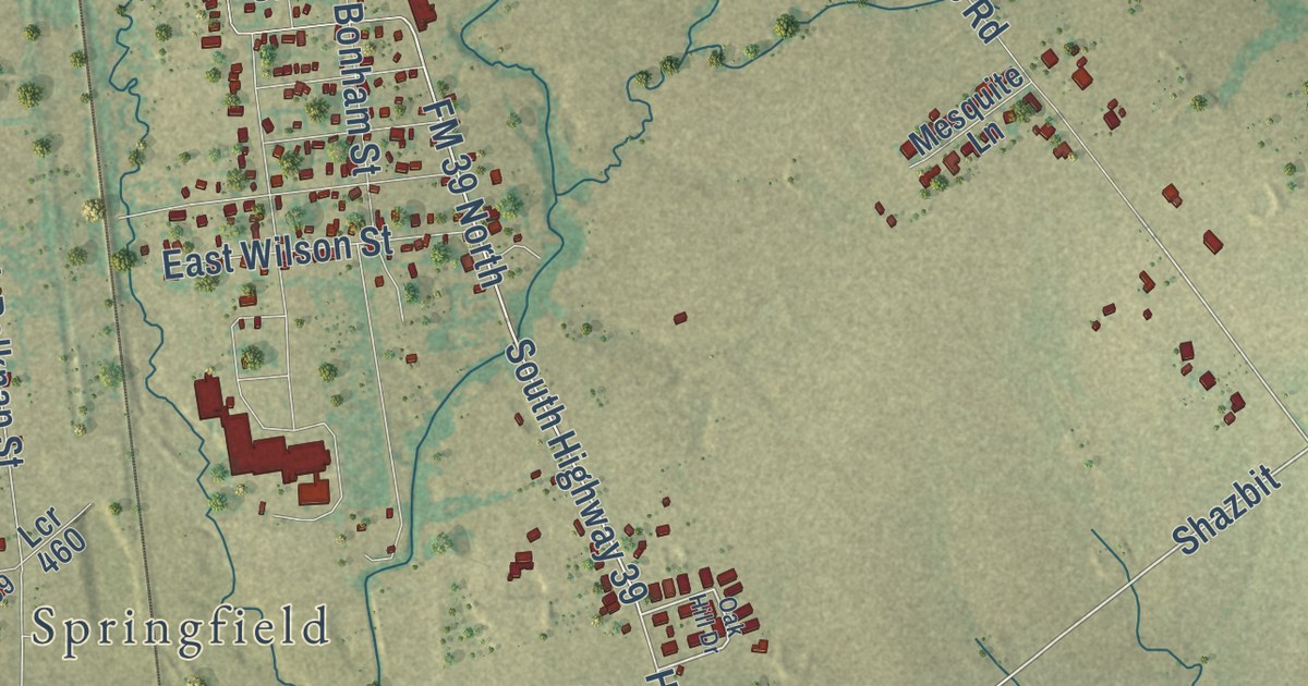
Street and place names on the Mexia, Texas map
These names are printed on the map of Mexia, Texas.
Places: Springfield.
Streets and roads: East Milam Street, Martin Luther King Junior Highway, West Milam Street, Tehuacana Highway, Shazbit, Highway 39, Lcr 486, South Highway 39, Tamarisk Avenue, FM 39 North, West Main Street, East Hopkins Street.
More street names, A to Z
Alice Street, Barron Street, Brickyard Road, Cem Road, Clark Street, College Avenue, Crestline Drive, East Bowie Street, East Carthage Street, East Commerce Street, East Evelyn Street, East Evergreen Street, East Glendale Street, East Grayson Street, East Hunt Street, East Liberty Street, East Main Street, East Nowlin Street, East Palestine Street, East Sumpter Street, East Swan Street, East Titus Street, East Tyler Street, East Wilson Street, FM 39, FM 1365, FM 1633, Fort Parker, Freeman, Grafa Street, Grayson Street, Greenleaf Drive, Hickory Street, Hinchliffe Road, Holly Lane, Houston Street, Howell, Huisach Street, Jack Oliver Road, Jan Street, Johnson Street, La Villeta Street, Lcr 459, Lcr 460, Lcr 466, Lcr 492, Main Street, Maple Plaza, Meadow Lane, Mesquite Lane, North Bailey Street, North Belknap Street, North Bonham Street, North Brooks Street, North Canton Street, North Denton Street, North Echols Street, North Kaufman Street, North Kenedy Street, North Kollman Road, North Lena Street, North McKinney Street, North Nussbaum Street, North Paris Street, North Red River Street, North Ross Avenue, North Sherman Street, Oak Hill Drive, Oak Street, Oakwood, Park Lane, Pine Street, Ranch Road 1365, Ranch Road 3119, Rock Road, Ross Avenue, Shiloh Road South, Smith Street, South Bailey Street, South Belknap Street, South Bonham Street, South Brooks Street, South Canton Street, South Denton Street, South Kaufman Street, South Kollman Road, South Lena Street, South McKinney Street, South Red River Street, South Ross Avenue, South Sherman Street, South Wallace Street, Stanton Road, Titus Street, West Bowie Street, West Fannin Street, West Hopkins Street, West Palestine Street, West Titus Street, West Tyler Street, Willowcrest Street, Willow Street.
See the Mexia, Texas map on a wall
The Mexia map as an 18 x 24 inch print in a black frame.

This beautifully detailed map of Mexia makes an attractive addition to your office, library, or den, and it can even be used to teach children the geography and history of the area. It also makes a great gift for anyone who grew up in Mexia or moved away. When you’re done exploring, click here to get your copy of the Mexia map.