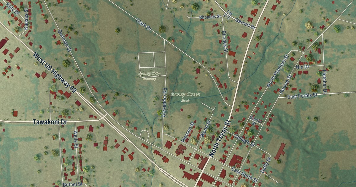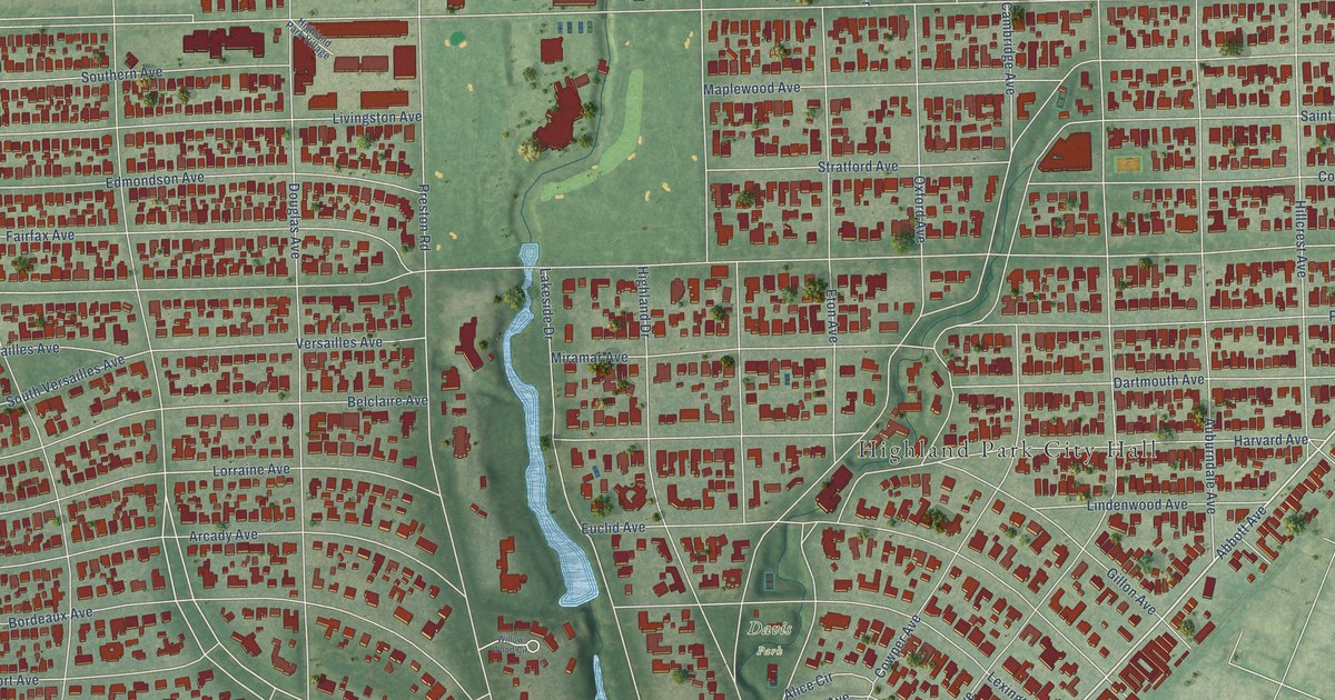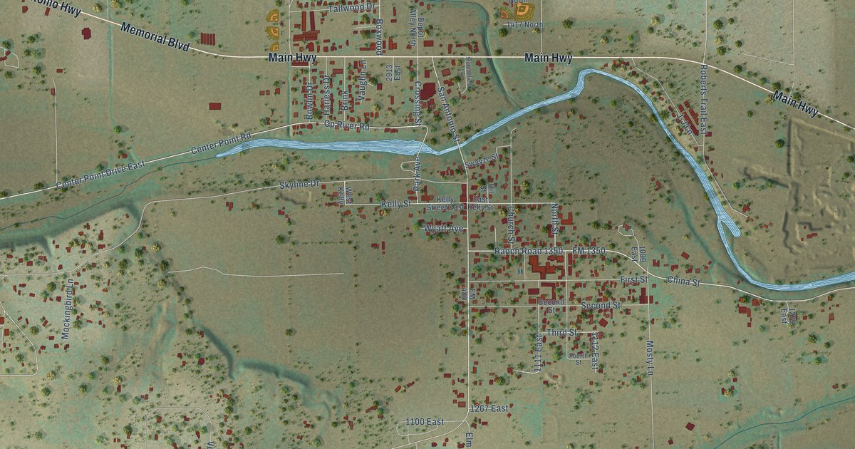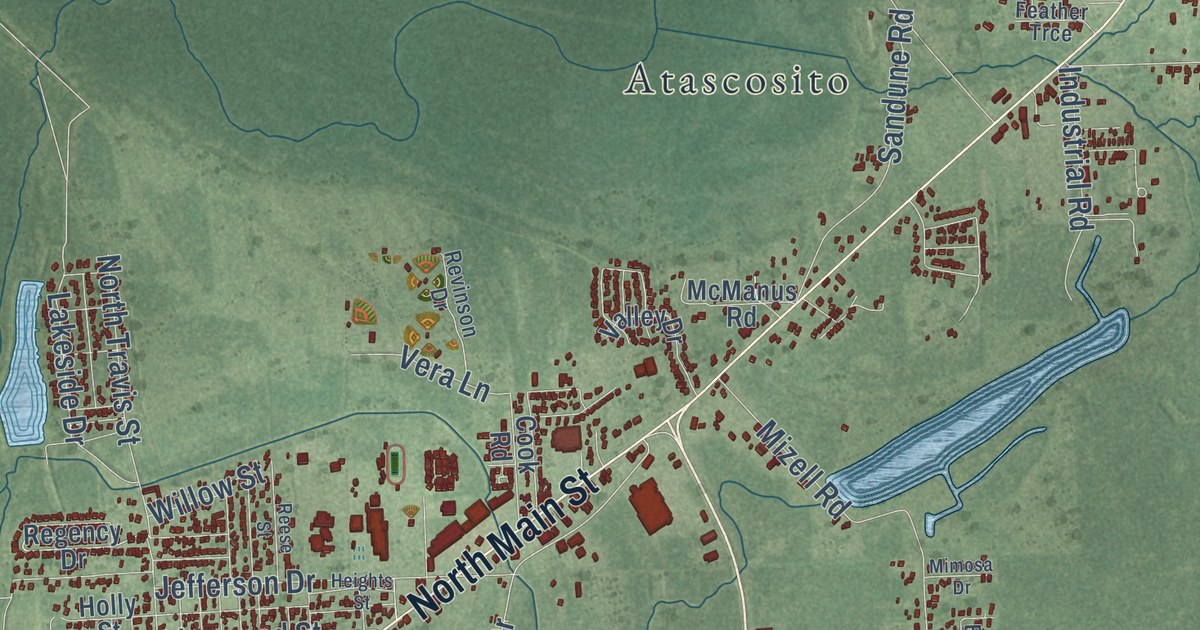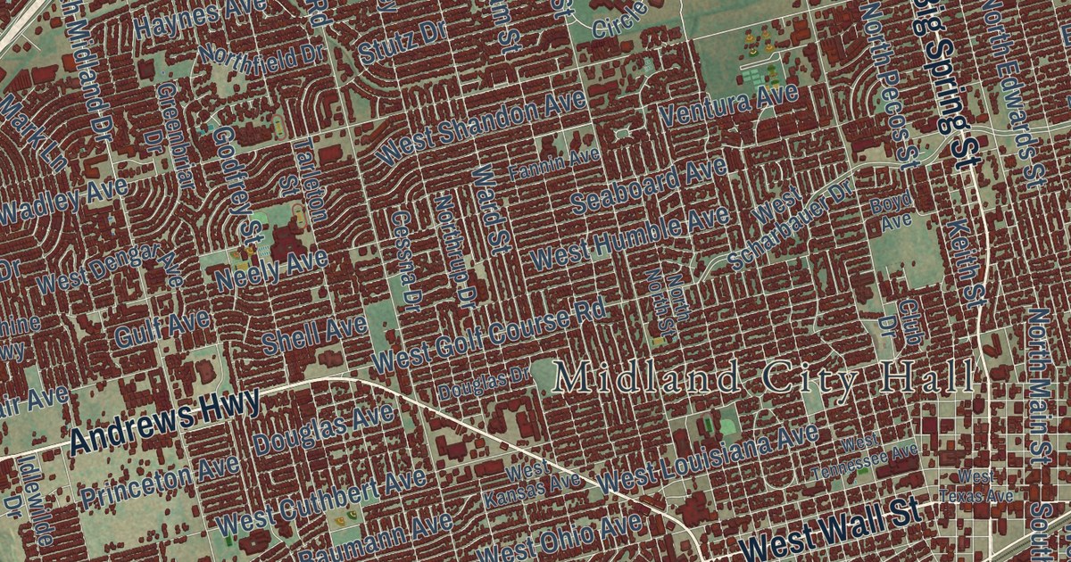
This beautifully detailed map of Midland, Texas was created in 2026 using aerial imagery combined with modern topographical, census, street and landmark data. It’s a one-of-a-kind view of Midland that combines accurate data with a vintage aesthetic. The map shows every building in its true location, many of the roads carry their names, and the shaded topographic relief shows the shape of the land.
Explore an aerial view of Midland, Texas
On the map you’ll find Midland City Hall, Beal Park, Chub, Warfield, Ranch Road 1788, and Loop 250, along with West Wall Street, Andrews Highway, West Highway 80, Rankin Highway, North State Highway 349, North Big Spring Street, and more. If you look closely you can even find your house accurately drawn in its correct location. Zoom in on the preview to look for yours.
Did you know this piece of Midland, Texas history?
From the Handbook of Texas: "As dozens of new oilfields were opened in the Permian Basin during the late 1930s, Midland revived and continued to grow; in 1936, for example, the First National Bank renovated its headquarters and began to build a new eight-story office building."
Take a closer look at the Midland map
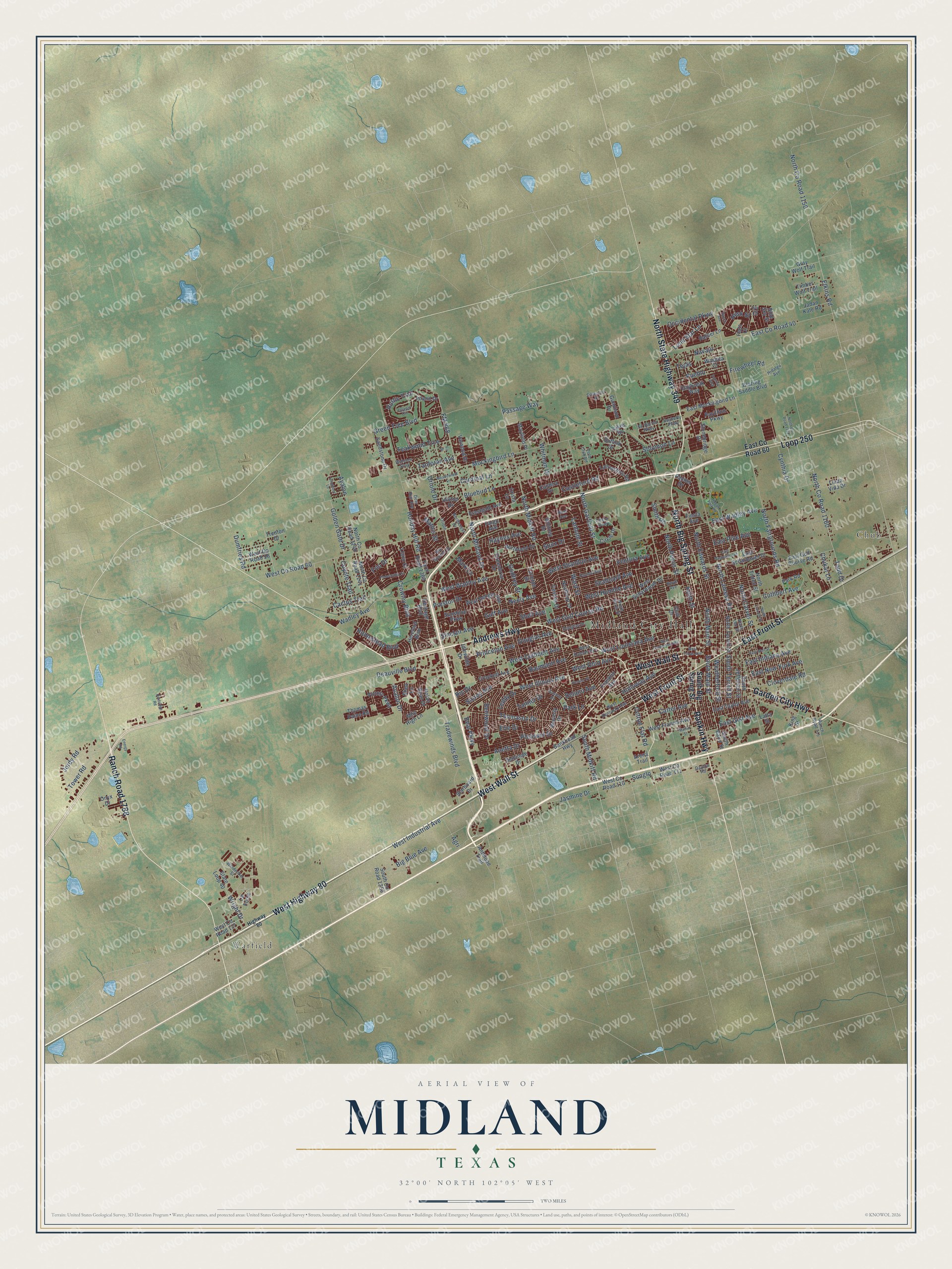
Street and place names on the Midland, Texas map
These names are printed on the map of Midland, Texas.
Places: Midland City Hall, Beal Park, Warfield and Chub.
Streets and roads: West Wall Street, Ranch Road 1788, Andrews Highway, West Highway 80, North State Highway 349, Rankin Highway, North Big Spring Street, Loop 250, West Front Street, East Front Street, Garden City Highway, South Main Street.
More street names, A to Z
Agri, Anetta Drive, Antelope Trail, Arena Trail, Avalon Drive, Ayalon, Bankhead Highway, Baumann Avenue, Bayberry Parkway, Beal Parkway, Bentwood Drive, Big Blue Avenue, Blazing Saddle Boulevard, Bluebird Lane, Blue Sky Street, Boyd Avenue, Cactus Trail, Caldera Drive, Cardinal Lane, Carter Avenue, Castleford Road, Cessna Drive, Chukar Lane, Circle Dive, Circle Drive, Cloverdale Road, Club Drive, Cotton Flat Road, Coyote Trail, Crestgate Avenue, Crista Lane, Crockett Avenue, Crowley Boulevard, Cuthbert Avenue, Cynthia Drive, Daybreak Way, Dayton Road, Deauville Boulevard, Deer Run Avenue, Delano Avenue, Douglas Avenue, Douglas Drive, Dumfries Road, East County Road 40, East County Road 60, East Gist Avenue, East Golf Course Road, East Indiana Avenue, East Magnolia Avenue, East Mockingbird Lane, East New York Avenue, East Pine Avenue, East Scharbauer Drive, East Taylor Avenue, East Wadley Avenue, East Wall Street, Elkins Road, Energy Road, Erie Drive, Fannin Avenue, Fargo Avenue, Farm Road 1369, Fiesta Avenue, Fir Drive, Firewheel Road, Flats Court, FM 868, Franklin Avenue, Frio Drive, Gaston Drive, Godfrey Street, Golden Gate Drive, Gray Wolf Trail, Greenbriar Drive, Green Tree Boulevard, Gulf Avenue, Gunnison Drive, Haynes Avenue, Hereford Boulevard, Heritage Boulevard, Hidalgo Avenue, Highway 80, Hilltop Drive, Hogan Park Road, Holdridge Road, Holiday Hill Road, Holloway Avenue, Homestead Boulevard, Husk Street, Idlewilde Drive, Island Circle, Island Drive, Ivy Court, Jadan Kate Road, Jasmine Drive, Jordy Road, Keith Street, Kessler Place, King Street, La Force, Lakes Drive, Lancashire Road, Lanham Street, Latta Street, Leddy Drive, Linda Vida Drive, Llano Court, Lone Star Lane, Longhorn Lane, Mark Lane, Marlin Street, Mathis Street, Mayfield Place, Meadowlark Lane, Mile High Lane, Mockingbird Lane, Navajo, Neely Avenue, Noel Avenue, Nolan Ryan Drive, North Carver Street, North County Road 1150, North County Road 1160, North County Road 1162, North County Road 1240, North County Road 1241, Northcrest Drive, North Edwards Street, North Fairgrounds Road, Northfield Drive, North Garfield Street, North Lamesa Road, North Lee Street, North Lincoln Street, North Main Street, North Midkiff Road, North Midland Drive, North North Street, North Pecos Street, Northrup Drive, North Terrell Street, North Tilden Street, Occidental Parkway, Onyx Drive, Oriole, Oriole Drive, Palmer Drive, Park Lane, Park Road, Passage Way, Pavillion Parkway, Pedernales Drive, Pleasant Drive, Polo Club Road, Preston Drive, Princeton Avenue, Pueblo, Ranch Avenue, Ranch Road 715, Rattler Lane, Ric Drive, Rio Grande Drive, Rustic Trail, Sandstone Drive, Seaboard Avenue, Seminole Drive, Shea Lane, Shell Avenue, Silverton Drive, Sinclair Avenue, Sir Barton Parkway, Smith Road, Solomon Lane, South Baird Street, South Big Spring Street, South County Road 1250, South Jefferson Street, South Midkiff Road, South Terrell Street, Starboard Drive, State Loop 40, Stonebridge Drive, Storey Avenue, Stutz Drive, Suffolk Drive, Sunglo, Sunrise Way, Sunshine Parkway, Tanforan Avenue, Tanner Drive, Tarleton Street, Teakwood Trce, Tejas, Thomason Drive, Thomas Paine Road, Timber Wolf Trail, Todd Drive, Tower Road, Tradewinds Boulevard, Trenton Drive, Valwood Drive, Ventura Avenue, Victory Parkway, Wadley Avenue, Ward Street, Washita Court, Waverly Drive, Weatherford Street, West County Road 56, West County Road 60, West County Road 110, West County Road 111, West County Road 117, West Cuthbert Avenue, West Dengar Avenue, West Francis Avenue, West Golf Course Road, West Humble Avenue, West Illinois Avenue, West Industrial Avenue, West Kansas Avenue, West Kentucky Avenue, West Louisiana Avenue, West Ohio Avenue, West Scharbauer Drive, West Shandon Avenue, West Tennessee Avenue, West Texas Avenue, West Wadley Avenue, Whitman Drive, Whitney Drive, Widener Strip, Windecker Street, Wright Drive.
See the Midland, Texas map on a wall
The Midland map as an 18 x 24 inch print in a black frame.

This beautifully detailed map of Midland makes an attractive addition to your office, library, or den, and it can even be used to teach children the geography and history of the area. It also makes a great gift for anyone with Midland roots. When you’re done exploring, click here to get your copy of the Midland map.