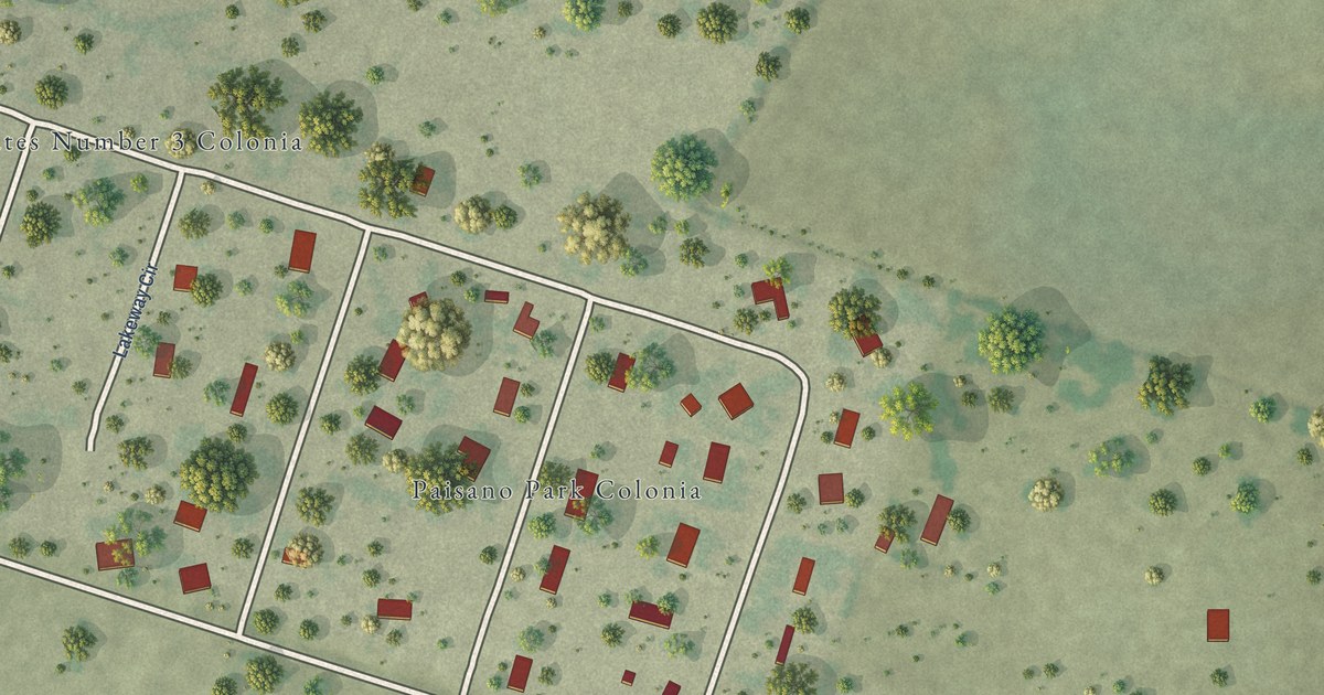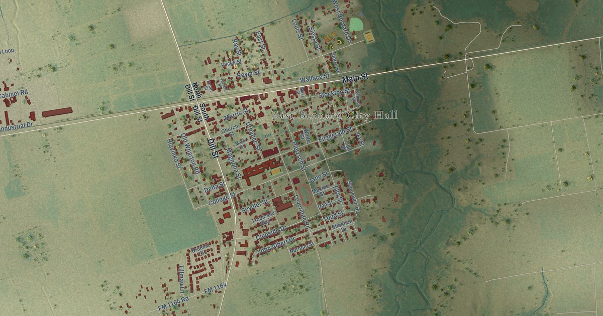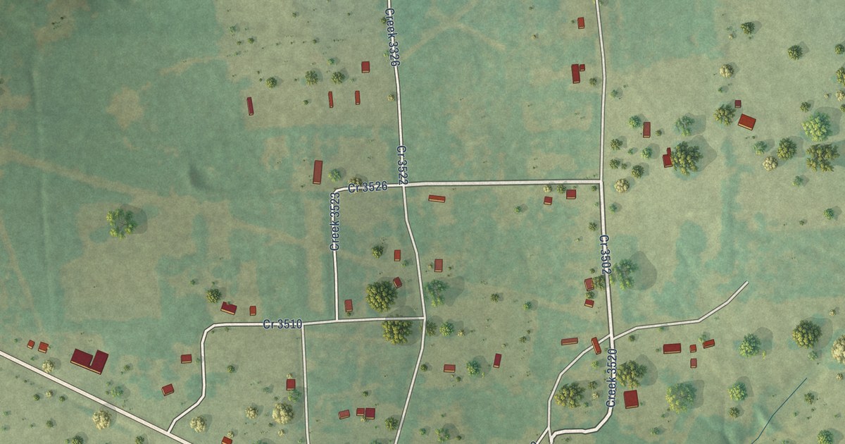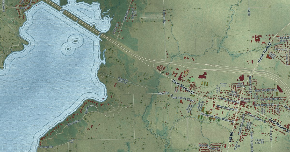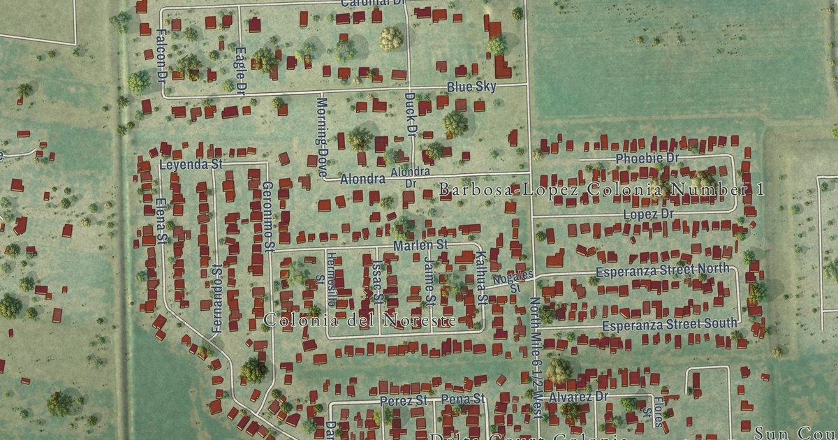
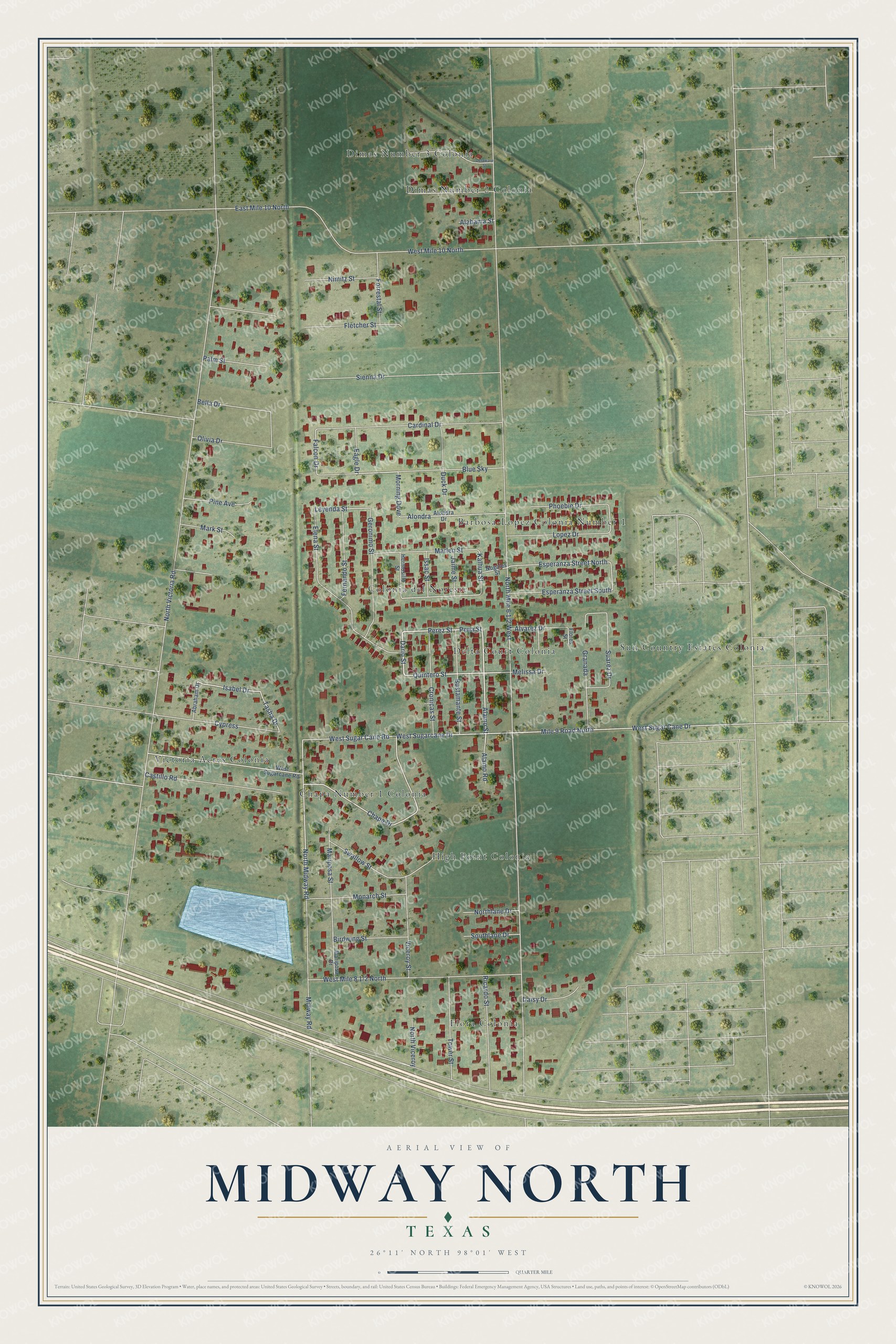
This beautifully detailed map of Midway North, Texas was created in 2026 using aerial imagery combined with modern topographical, census, street and landmark data. It's a modern aerial view of Midway North in Hidalgo County, Texas, that combines modern data with a vintage aesthetic. The roads feature printed names, and if you look closely you can find your exact house accurately shown in its correct location.
Explore an aerial view of Midway North, Texas
On this map you'll find Colonia del Noreste, Dimas Number 3 Colonia, Flora Colonia, Sun Country Estates Colonia, Victoria Acres Colonia, High Point Colonia, Barbosa-Lopez Colonia Number 1, Delta Court Colonia, Chapa Number 1 Colonia, Dimas Number 2 Colonia, Alamo Street, Perez Street, and more. Each red shape is a building, so zoom in on the preview and look for yours.
Midway North is a community in Hidalgo County. The Census Bureau counted 4,232 people here in 2020. The map prints the town name in its title panel, with the coordinates below it.
Take a closer look at the Midway North map
Names on this map
These names are printed on this map.
Places: Colonia del Noreste, Dimas Number 3 Colonia, Flora Colonia, Sun Country Estates Colonia, Victoria Acres Colonia, High Point Colonia, Barbosa-Lopez Colonia Number 1, Delta Court Colonia, Chapa Number 1 Colonia and Dimas Number 2 Colonia.
Streets and roads: Alamo Street, Perez Street, Dario Street, Pena Street, Quintero Street, Isabel Drive, Chapa Drive, North Midway Road, Tasha Drive, Midway Road, Kalhua Street, Falcon Drive.
More street names, A to Z
Abraham Drive, Alabama Street, Alamo Road, Alondra, Alondra Drive, Alvarez Drive, Bella Drive, Birdwing Street, Blue Sky, Bustamante Street, Cardinal Drive, Castillo Road, Cronicas Street, Cypress, Daisy Drive, Delaware Street, Duck Drive, Eagle Drive, East Mile 10 North, Elena Street, Esperanza Street North, Esperanza Street South, Fernando Street, Fletcher Street, Flores Street, Forrestal Street, Geronimo Street, Granada, Hermosillo Street, Issac Street, Jaime Street, Leyenda Street, Lopez Drive, Mariposa Drive, Mariposa Street, Mark Street, Marlen Street, Melissa Drive, Mile 9 Road North, Monarch Street, Morning Dove, Nimitz Street, Nogales Street, Northlane Drive, North Viceroy, North Victoria Road, Olivia Drive, Palm Street, Phoebie Drive, Pine Avenue, Ricardo Street, Sienna Drive, Southlane Drive, Suarez Drive, Swallow Street, Tower Street, Viceroy Street, West Mile 10 North, West Sugarcane Drive, West Sugar Cane Drive, West Sugar Cane Road, West Sugarcane Road.
See it on a wall
The Midway North map as a framed print. Swipe for more.


Created by KNOWOL in 2026. The buildings are small red shapes, the roads carry their printed names, and shaded relief shows the shape of the land. The title panel reads "AERIAL VIEW OF MIDWAY NORTH, TEXAS" with 26°11' NORTH 98°01' WEST.
It looks right in a kitchen, an office or a den, and it's a gift for anyone who grew up in Midway North or moved away. Open the preview and find your street. See sizes and frames for the Midway North map.