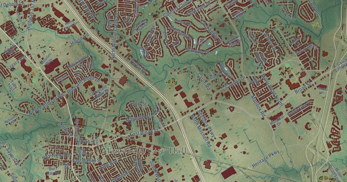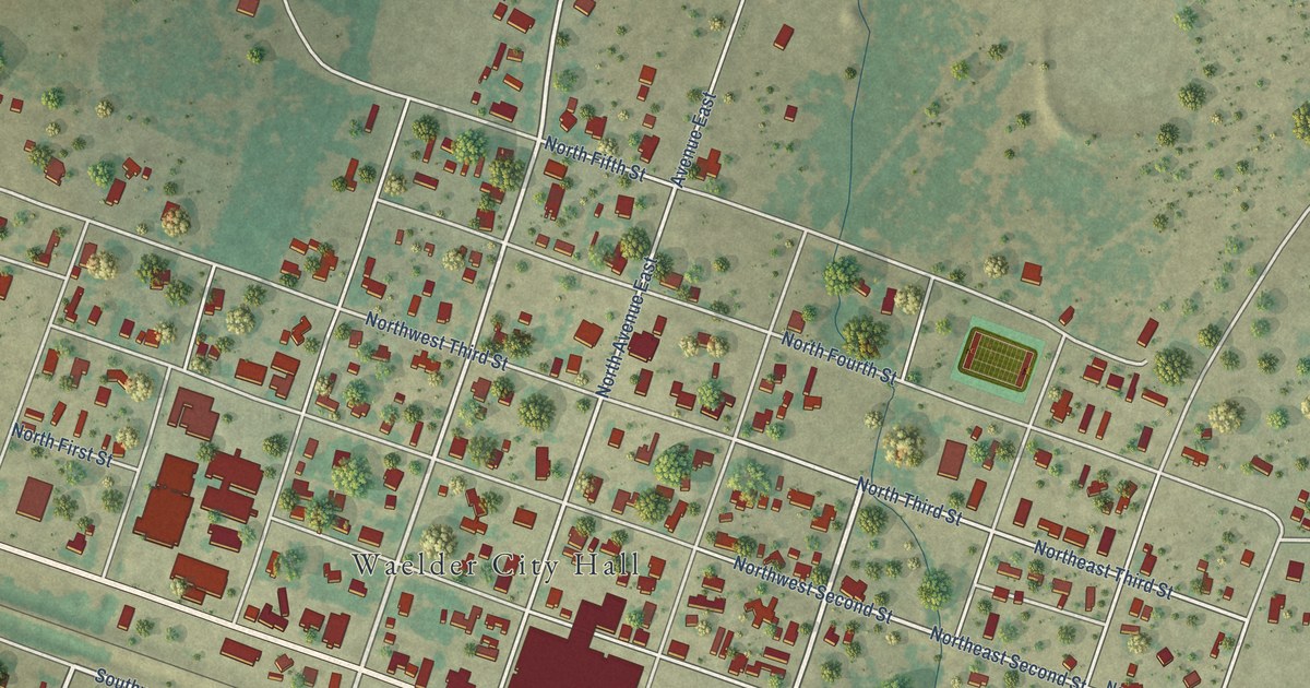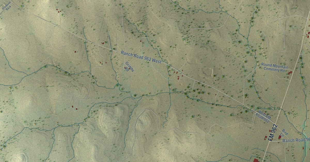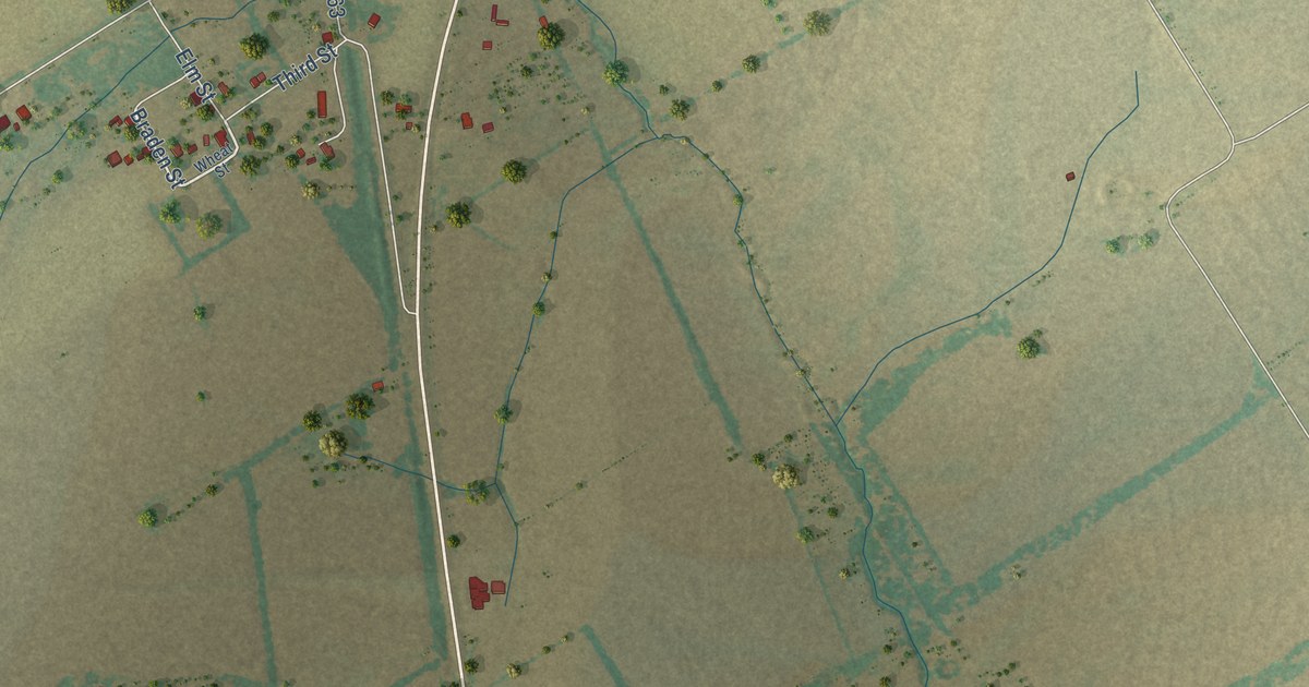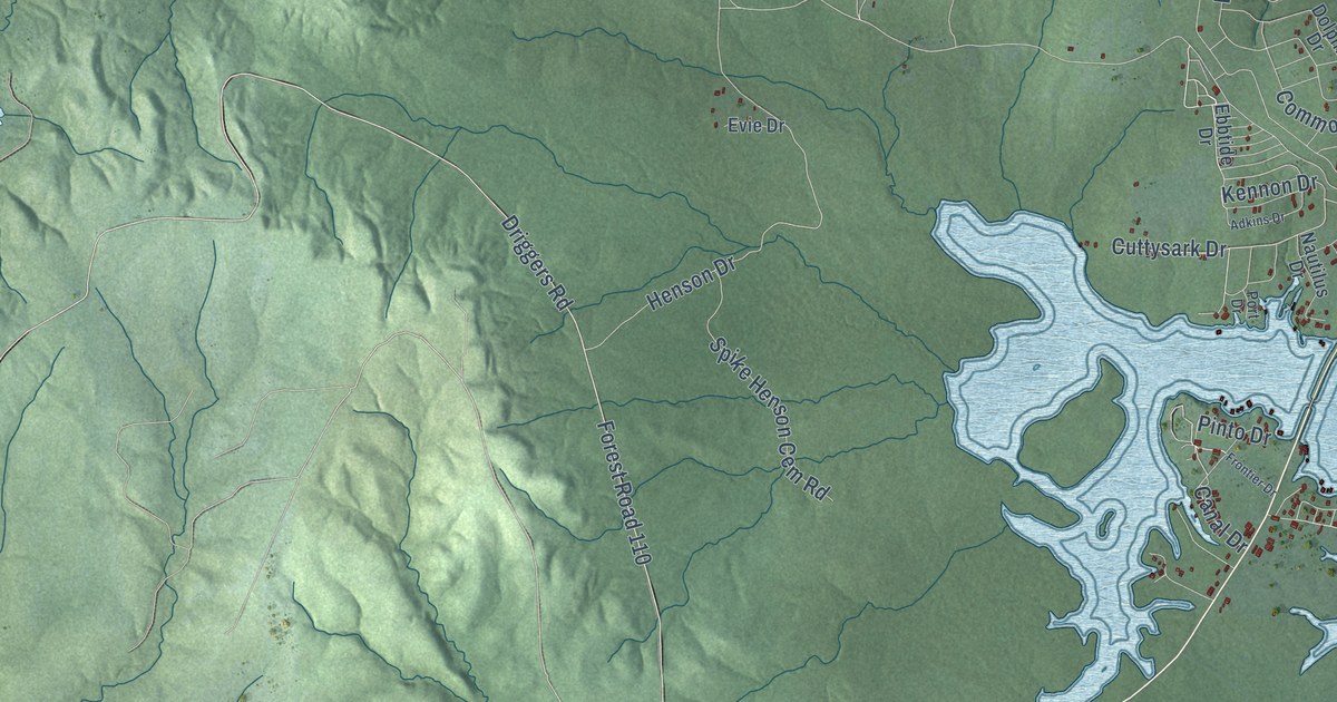
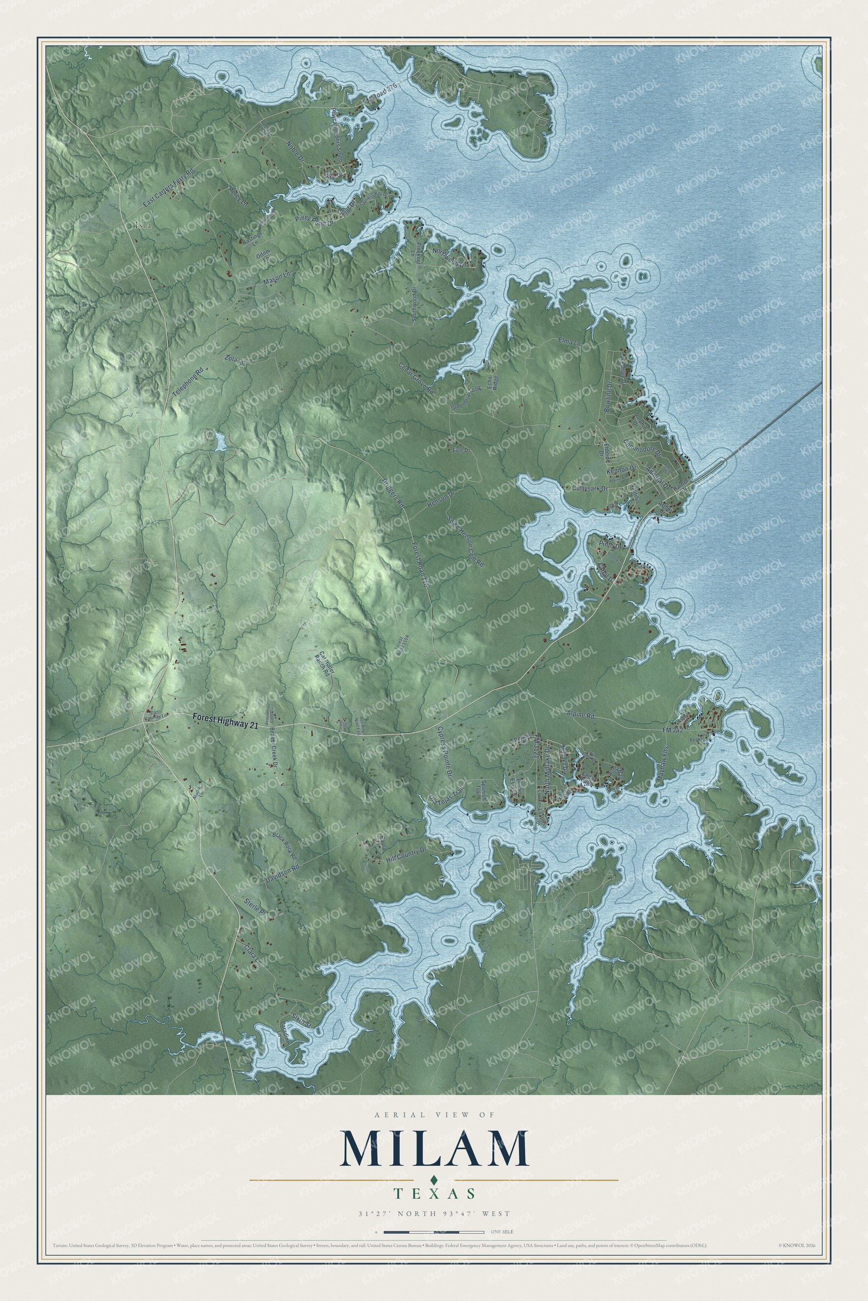
This beautifully detailed map of Milam, Texas was created in 2026 using aerial imagery combined with modern topographical, census, street and landmark data. It's a modern aerial view of Milam in Sabine County, Texas, that combines modern data with a vintage aesthetic. The roads feature printed names, and if you look closely you can find your exact house accurately shown in its correct location.
Explore an aerial view of Milam, Texas
On this map you'll find Isla, Forest Highway 21, North Midlake Drive, Kennon Drive, Cuttysark Drive, Forest Road 110, Driggers Road, Alpine Road, Northwood Drive, Point Drive, Cedar Grove Road, East Carters Ferry Road, and more. Each red shape is a building, so zoom in on the preview and look for yours.
Every town has a first chapter, and Milam is no exception. Milam was first called Red Mound. In 1835, when it was chosen as the seat of the Municipality of Sabine, the town was renamed in honor of Benjamin Rush Milam. Long before, the Spanish knew the spot as Las Borregas, a watering place and campsite on the Old San Antonio Road. Milam stayed the county seat until 1858, and under the Republic of Texas it was a port of entry with its own customs collector. That's from the Handbook of Texas.
Milam is a community in Sabine County. The Census Bureau counted 1,355 people here in 2020.
Take a closer look at the Milam map
Names on this map
These names are printed on this map.
Places: Isla.
Streets and roads: Forest Highway 21, North Midlake Drive, Kennon Drive, Cuttysark Drive, Forest Road 110, Driggers Road, Alpine Road, Northwood Drive, Point Drive, Cedar Grove Road, East Carters Ferry Road, FM Road 276.
More street names, A to Z
Adkins Drive, Admiral Drive, Arthur Drive, Aspen Drive, Beaver Creek Drive, Becker Lane, Black Rock Road, Bowline Drive, Canal Drive, Caradine Lane, Cat Holler Ranch Road, Cedar Ridge, Clara Lane, Commodore Drive, Crocker Drroad, Cypress Bay Drive, Cypress Pointe Drive, Dan Cordray Lane, Davidson Road, Dolphin Drive, Ebbtide Drive, Echo Ridge, Elma Lane, Ensign Drive, Evie Drive, FM 242, FM 3121, Forest Glen, Forest Hills, Frontier Drive, Greenbriar Loop, Harbor Drive, Hastings Lane, Henson Drive, Hill Country Drive, Holly Bay, Isle Drive, Lake Drive, Lakeshore Drive, Lunker Lane, Mason Lane, Mayhaw Flts, Midlake Drive, Moore Lane, Nautilus Drive, Noble Drive, Odom Lane, Old Tejas Trail, Paula Lane, Pecan Ests Lp, Percy Lane, Pier Drive, Pineknot Lane, Piney Point Drive, Pinto Drive, Playcation Shrs South, Port Drive, Powell Lane, Red Ridge Road East, Seasons Glenn, Sixth Street, Southwood Drive, Spanish Trail, Spike Henson Cem Road, Sterle Place, Telephone Road, Twin Cedar Drive, Underwood Lane, Zola Lane.
See it on a wall
The Milam map as a framed print. Swipe for more.


Created by KNOWOL in 2026. The buildings are small red shapes, the roads carry their printed names, and shaded relief shows the shape of the land. The title panel reads "AERIAL VIEW OF MILAM, TEXAS" with 31°27' NORTH 93°47' WEST.
Hang it in the hallway, the office or the cabin, or give it to someone who left Milam and still calls it home. Open the preview and look for a street you know. See sizes and frames for the Milam map.