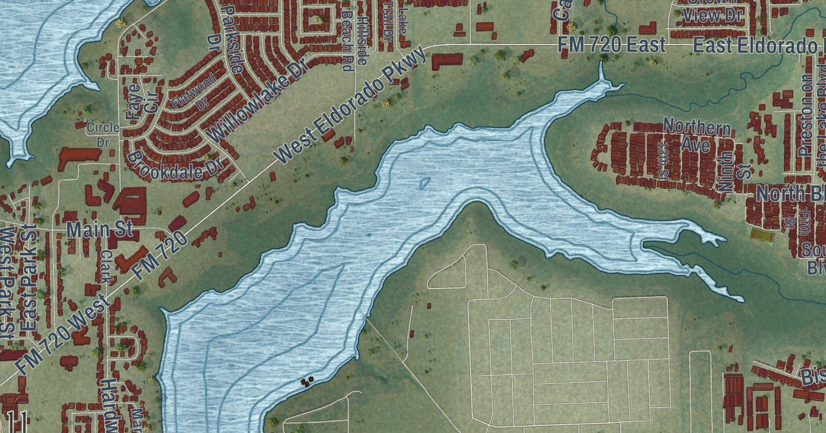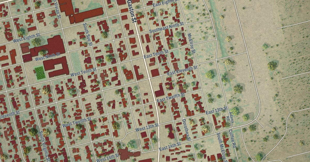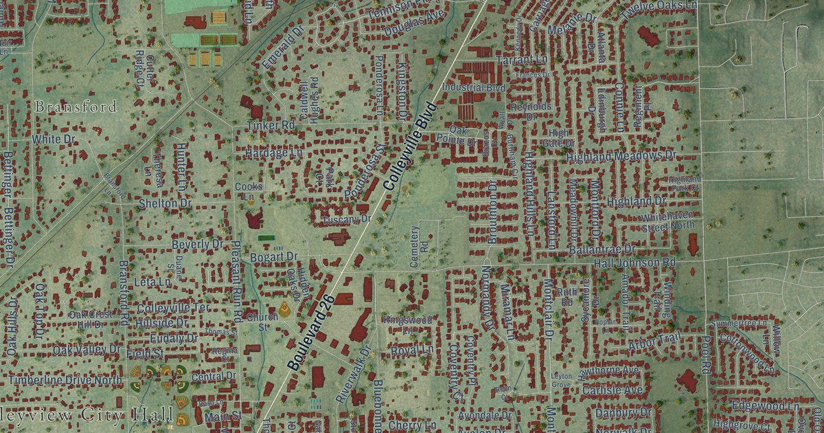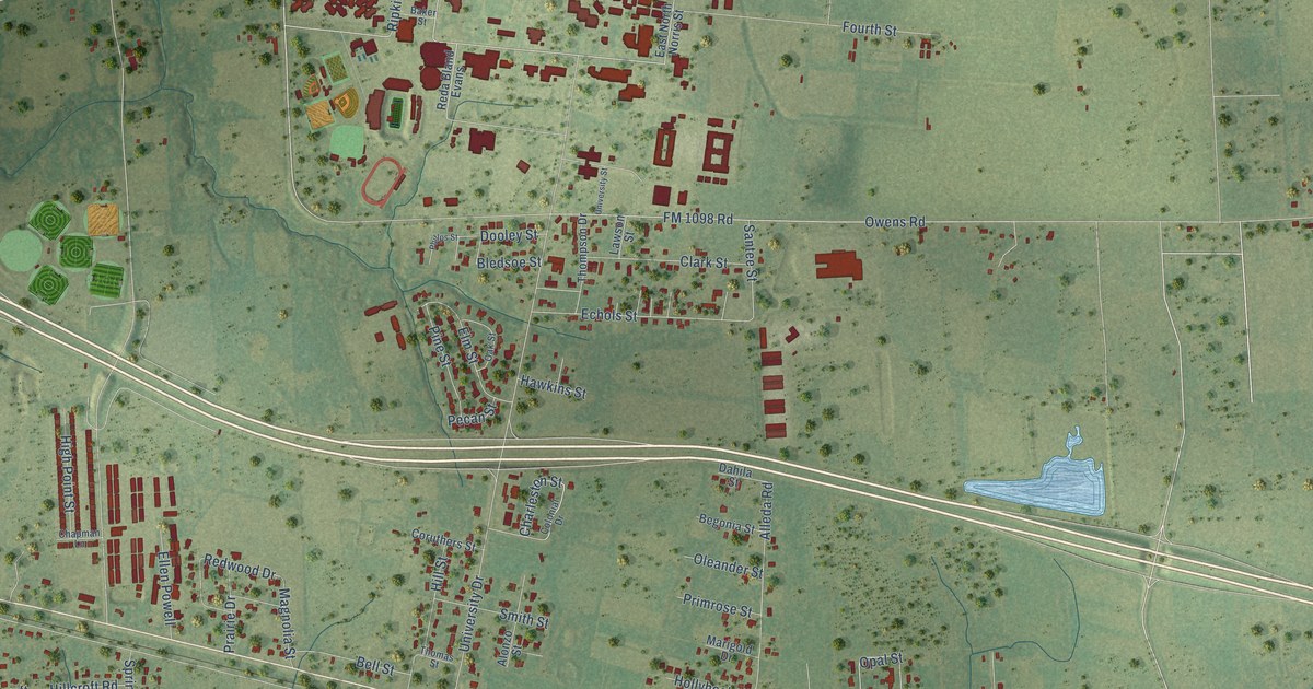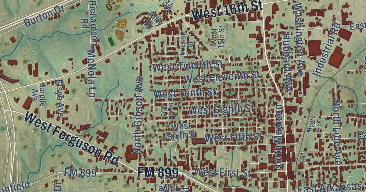
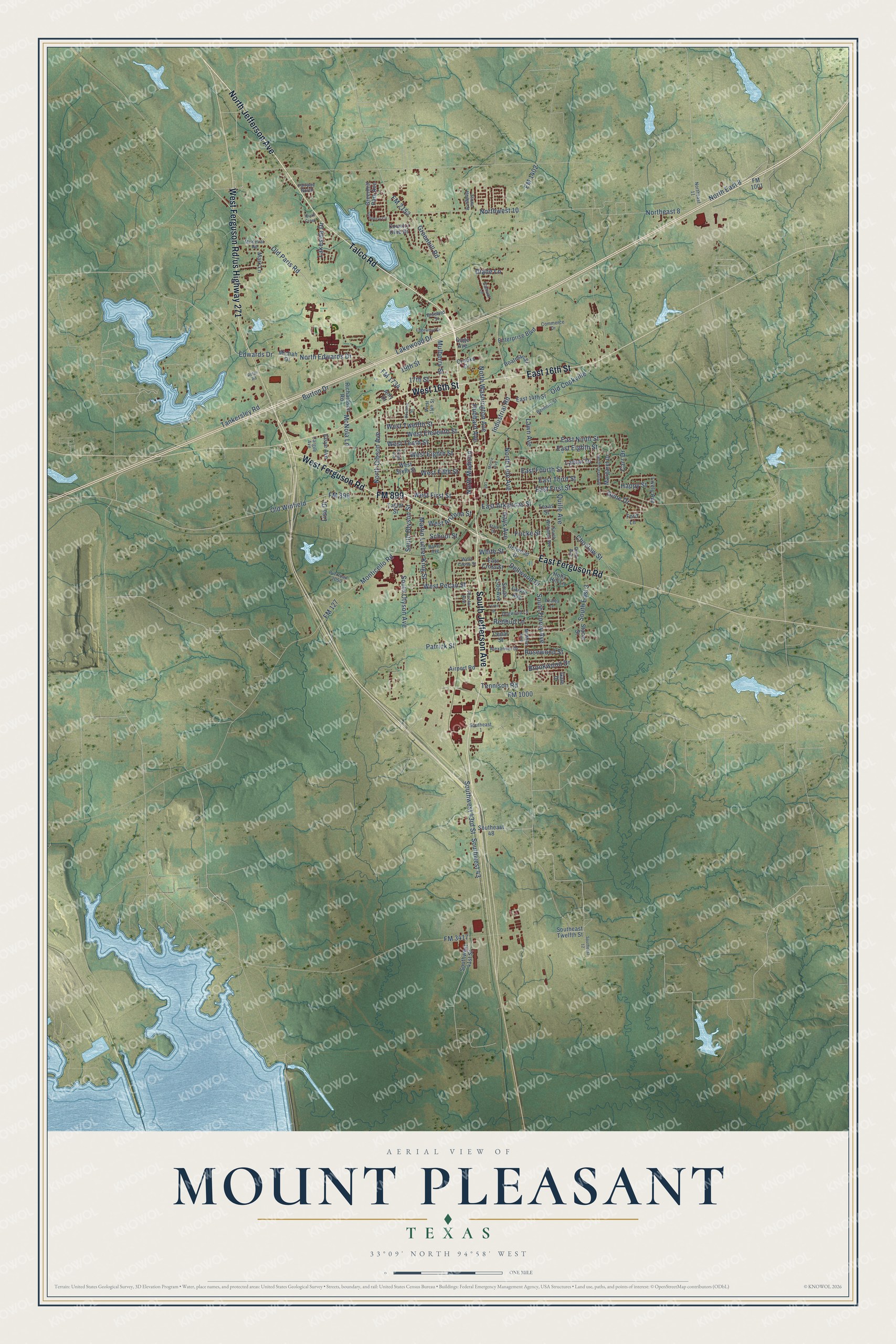
This beautifully detailed map of Mount Pleasant, Texas was created in 2026 using aerial imagery combined with modern topographical, census, street and landmark data. It’s a one-of-a-kind view of Mount Pleasant that combines accurate data with a vintage aesthetic. The map shows every building in its true location, many of the roads carry their names, and the shaded topographic relief shows the shape of the land.
Explore an aerial view of Mount Pleasant, Texas
On the map you’ll find Farm Road 419, along with North Jefferson Avenue, Talco Road, West Ferguson Road, South Jefferson Avenue, West 16th Street, East 16th Street, West Ferguson Rd/us Highway 271, East Ferguson Road, FM 899, West First Street, Old Paris Road, and more. If you look closely you can even find your house accurately drawn in its correct location. Zoom in on the preview to look for yours.
Did you know this piece of Mount Pleasant, Texas history?
From the Handbook of Texas: "Between 1956 and 1966 the town completed Lake Tankersley, three school buildings, a post office building, and additions to the water and sewer systems."
Take a closer look at the Mount Pleasant map
Street names on the Mount Pleasant, Texas map
These names are printed on the map of Mount Pleasant, Texas.
Streets and roads: North Jefferson Avenue, Talco Road, FM 899, West Ferguson Road, South Jefferson Avenue, West 16th Street, East 16th Street, East Ferguson Road, Old Paris Road, West First Street, North Edwards Drive, Burton Drive.
More street names, A to Z
17th Street, 19th Street, Airport Road, Alexander Drive, Amy Drive, Azalea Lane, Baker Avenue, Belmont Street, Bluebird Street, Boatman Street, Brookwood Drive, Bryan Avenue, Cargile Avenue, Carr Drive, Cedar Street, Choctaw Street, Commerce Drive, Country Club Drive, Crooks Drive, Dellwood Drive, Delwood Drive, Diane Lane, Dogwood Lane, Dunn Avenue, East 14th Street, East Arkansas Street, East Cross Street, East Eighth Street, East First Street, East Fourth Street, East Ninth Street, East Third Street, Edgewood Drive, Edwards Drive, Elsye Avenue, Enterprise Boulevard, Fairway North, FM 127, FM 1000, FM 1001, FM 1402, FM 1734, FM 2152, FM 3417, Ford Lane, Fricke Street, Gage Avenue, Gale Drive, Gene Drive, Greenhill Park Avenue, Greenhill Road, Happy Street, Hays Avenue, Holly Hill Lane, Houston Street, Hubbard Avenue, Industrial Road, Lakeside Drive, Lakewood Drive, Lamar Drive, Larkin Avenue, Lawn Avenue, Lee, Lisa Drive, Lively Avenue, Margaret Drive, Mark Lane, Martin Luther King Street, McKellar Road, McMinn Avenue, McNola Lane, Michah Drive, Monticello Road, Moore Avenue, Mulberry Street, North Cecelia Drive, North East 8, Northeast 8, Northeast 11, North Gibson Avenue, North Lide Avenue, North Madison, North Washington Avenue, Northwest 10, Old Cookville, Old Winfield, Patrick Street, Proctor Avenue, Pvt Road 2050, Quail Creek, Quille Avenue, Redbud Lane, Richardson Road, Rosewood Street, Rotan Road, Samual Lane, School Street, Southeast 1, South East 3, Southeast 12, Southeast 48, Southeast Twelfth Street, South Florey Avenue, South Lide Avenue, South Otyson Avenue, South Otyson Street, Southwest 41st Street, Southwest 43, Southwest 43rd Street, South Williams Avenue, Stacie Street, Stark Drive, Stone Hedge Street, Tankersley Road, Taylor Street, Tennison Road, Texas Street, Turnberry Circle, West 15th Street, West Arizona Street, West Cross Street, West Eighth Street, West Eleventh Street, West Fifth Street, West Pecan Street, West Sixth Street, West Tenth Street, West Twelfth Street, White Street, Yorke Street.
See the Mount Pleasant, Texas map on a wall
The Mount Pleasant map as an 18 x 24 inch print in a black frame.

This beautifully detailed map of Mount Pleasant makes an attractive addition to your office, library, or den, and it can even be used to teach children the geography and history of the area. It also makes a great gift for anyone who grew up in Mount Pleasant or moved away. When you’re done exploring, click here to get your copy of the Mount Pleasant map.