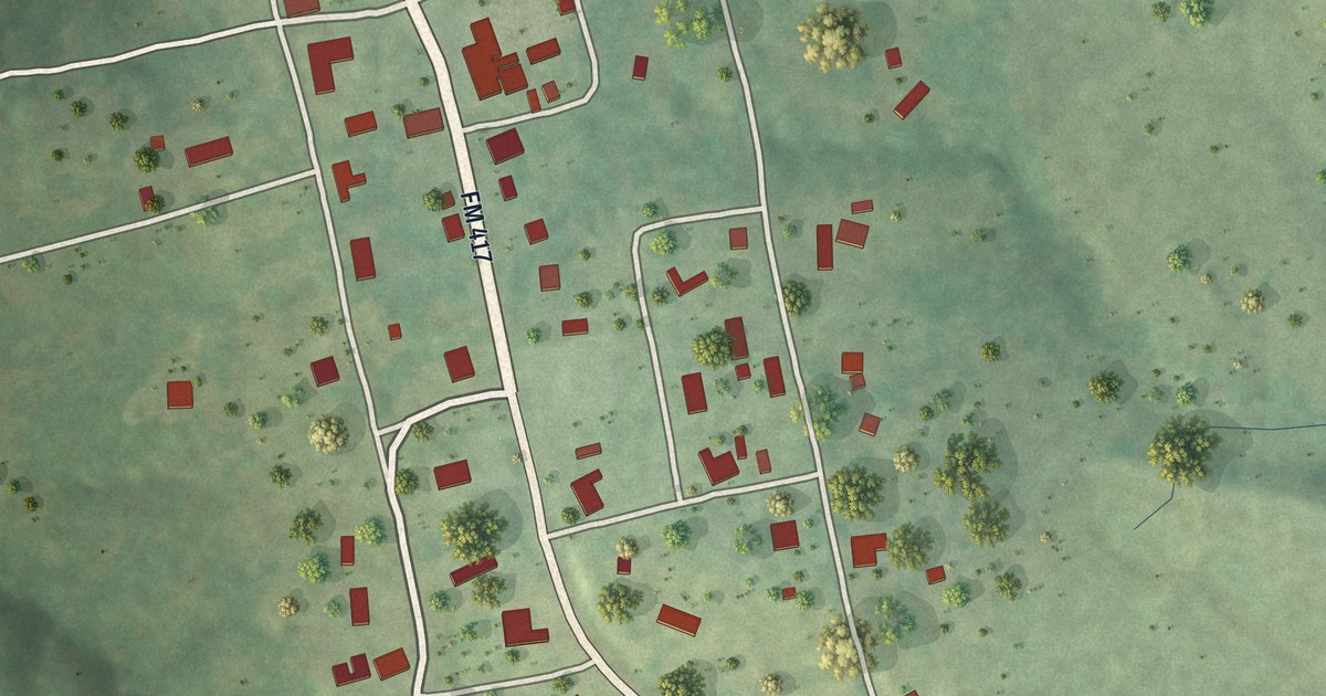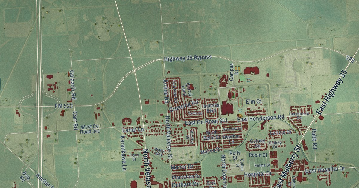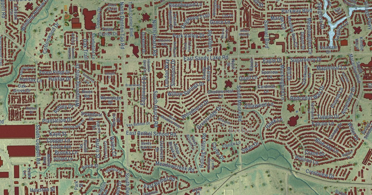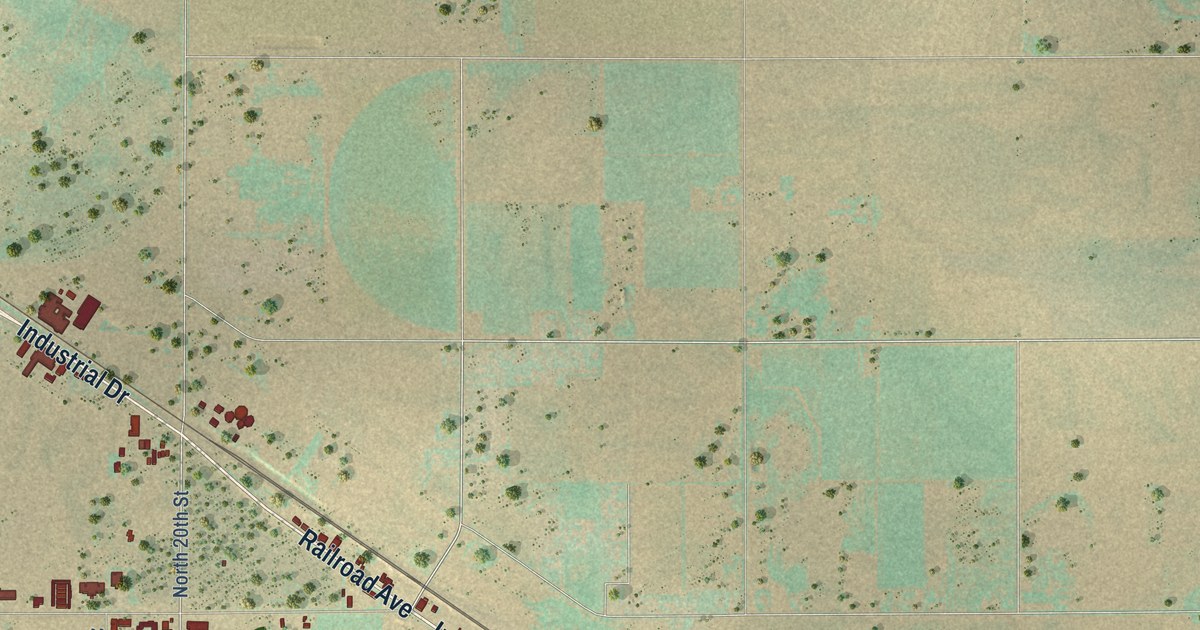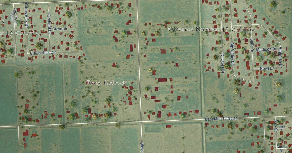
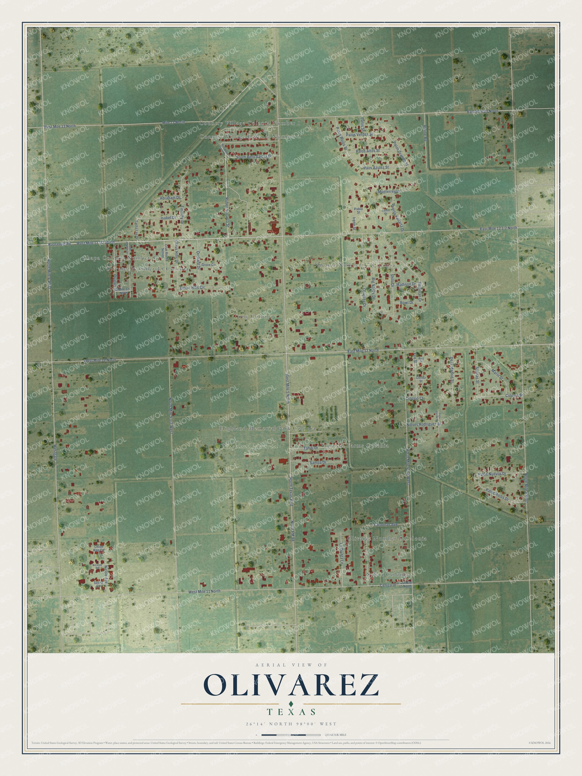
This beautifully detailed map of Olivarez, Texas was created in 2026 using aerial imagery combined with modern topographical, census, street and landmark data. It's a modern aerial view of Olivarez in Hidalgo County, Texas, that combines modern data with a vintage aesthetic. The roads feature printed names, and if you look closely you can find your exact house accurately shown in its correct location.
Explore an aerial view of Olivarez, Texas
On this map you'll find Highland Memorial Cemetery, Country Village Colonia Number 1, Olivarez Number 15 Colonia, Olivarez Number 17 Colonia, Sylvia Colonia, Tony Colonia, Tropical Farms Colonia, Olivarez Number 6 Colonia, Highland Memorial Park Colonia, Chapa Colonia Number 3, Country Village Colonia Number 2, West Mile 12 1/2 North, and more. Each red shape is a building, so zoom in on the preview and look for yours.
Olivarez is a community in Hidalgo County. The Census Bureau counted 4,248 people here in 2020. The map prints the town name in its title panel, with the coordinates below it.
Take a closer look at the Olivarez map
Names on this map
These names are printed on this map.
Places: Highland Memorial Cemetery, Country Village Colonia Number 1, Olivarez Number 15 Colonia, Olivarez Number 17 Colonia, Sylvia Colonia, Tony Colonia, Tropical Farms Colonia, Olivarez Number 6 Colonia, Highland Memorial Park Colonia, Chapa Colonia Number 3 and Country Village Colonia Number 2.
Streets and roads: Ruben Navarro Street, Roosevelt Road, Paos Azulez Street, Palos Rojos Street, Palos Grande Street, East Mile 12 North, North Texas Boulevard, Nicole Avenue, Virginian Drive, Mile 13 North, North FM 88, West Mile 5 North.
More street names, A to Z
Abraham Drive, Alpine Road, Big Valley Drive, Bowl Drive, Cabos Drive, Cardenas Avenue, Ceniza Drive, Chloe Rae Circle, Citrus Hills Circle, Citrus Hills Drive, Colosio Court, Colosio Street, Cortez Street, Cruz Rocha Senior, De la Madrid Street, East Mile 11 North, East Mile 13 North, Felix Garcia Street, Fox Street, Grove Circle, Irene Street, Isabel Drive, La Quinta Lane, Madison Drive, Marin Street, Mile 12 North, Monterrey Drive, Nicolas Circle, Nieves Rodriguez Street, North Mile 4 West, North Mile 6 West, Olivarez Drive, Orchard Drive, Ovalles Street, Pablo Street, Palos Altos Street, Palos Nuevos Drive, Palos Ricos Drive, Palos Street, Palos Verdes Street, Puerto Vallarta Drive, Ruiz Street, Salinas Street, Samoa Drive, San Angelo Street, Sasha Circle, Shilo Drive, South Beto Garcia Drive, Tahiti Drive, Tasha Lee Drive, Timothy Drive, West Beto Garcia Drive, Westgate, West Mile 11 North, West Mile 12 North, West Mile 13 North.
See it on a wall
The Olivarez map as a framed print. Swipe for more.


Created by KNOWOL in 2026. The buildings are small red shapes, the roads carry their printed names, and shaded relief shows the shape of the land. The title panel reads "AERIAL VIEW OF OLIVAREZ, TEXAS" with 26°14' NORTH 98°00' WEST.
Hang it in the hallway, the office or the cabin, or give it to someone who left Olivarez and still calls it home. Open the preview and look for a street you know. See sizes and frames for the Olivarez map.