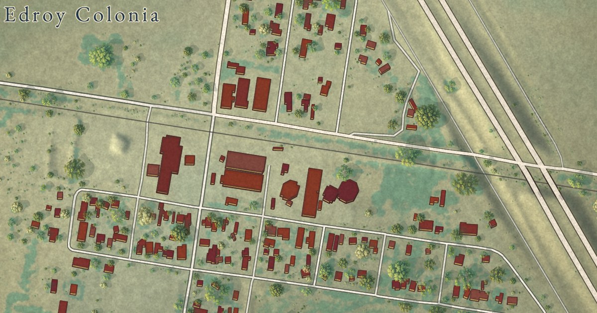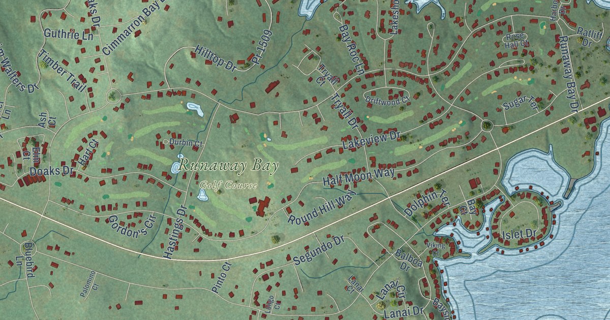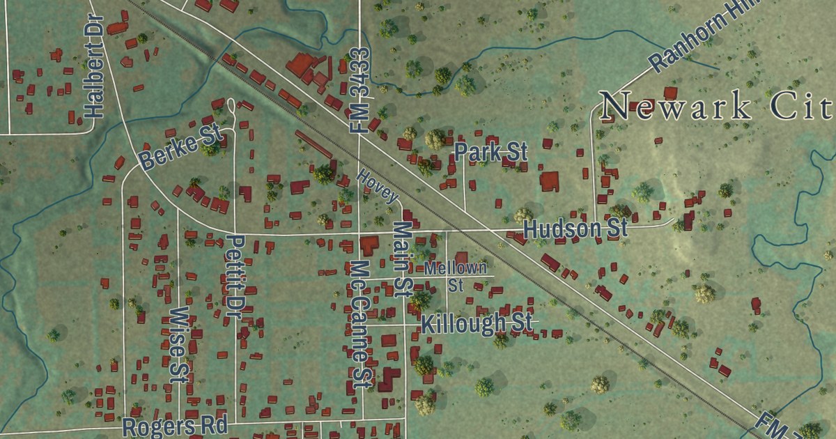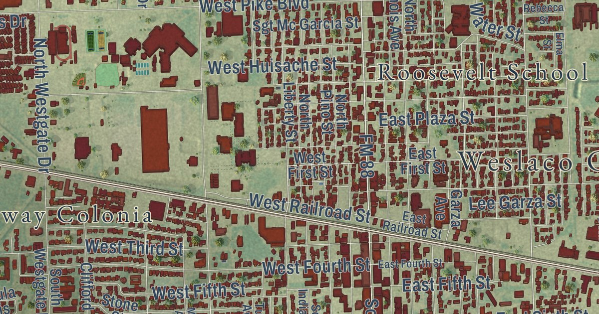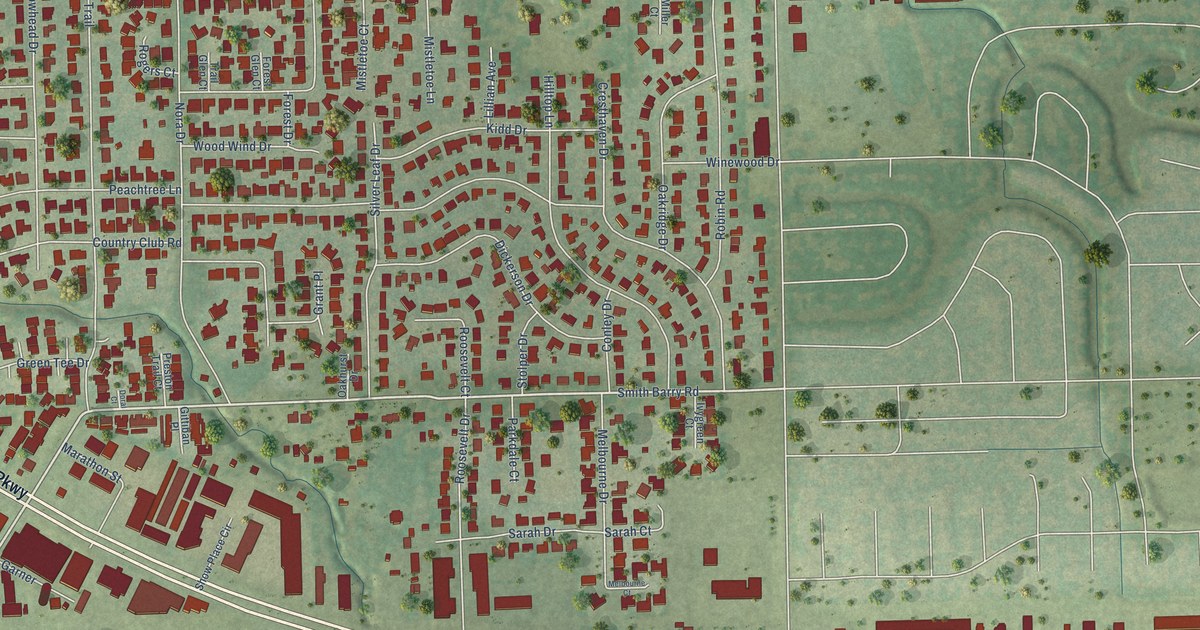
This beautifully detailed map of Pantego, Texas was created in 2026 using aerial imagery combined with modern topographical, census, street and landmark data. It’s a one-of-a-kind view of Pantego that combines accurate data with a vintage aesthetic. The map shows every building in its true location, many of the roads carry their names, and the shaded topographic relief shows the shape of the land.
Explore an aerial view of Pantego, Texas
On the map you’ll find West Pioneer Parkway, Smith Barry Road, West Park Row Drive, South Bowen Road, Peachtree Lane, West Arkansas Lane, Country Club Road, Nora Drive, Wagon Wheel Trail, Hilltop Lane, Cresthaven Drive, Whispering Trail Circle, and more. If you look closely you can even find your house accurately drawn in its correct location. Zoom in on the preview to look for yours.
Did you know this piece of Pantego, Texas history?
From the Handbook of Texas: "In 1949 Pantego was incorporated as a municipality and held its first city elections, after which the city of Arlington withdrew police and fire-fighting services."
Take a closer look at the Pantego map
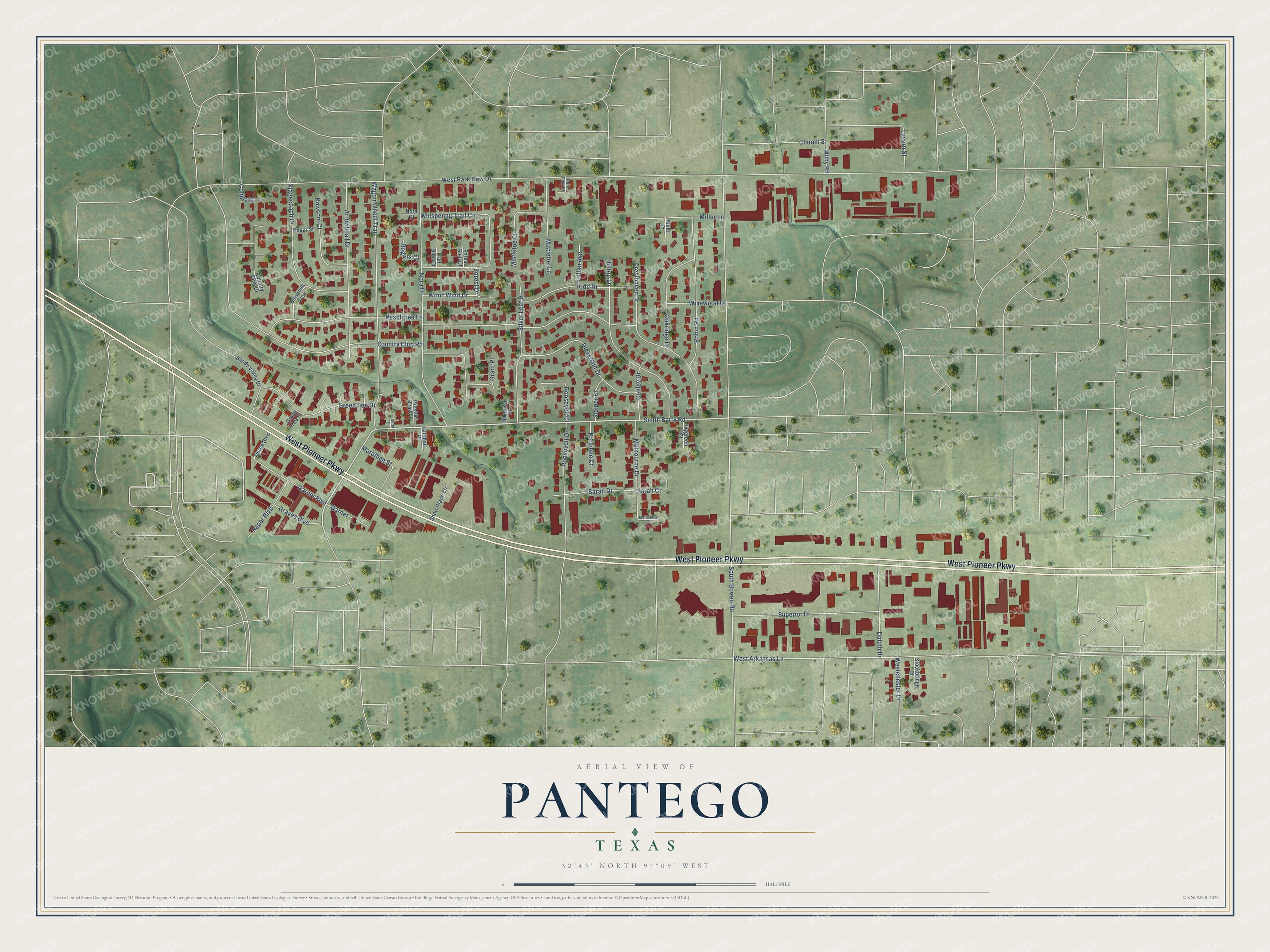
Street names on the Pantego, Texas map
These names are printed on the map of Pantego, Texas.
Streets and roads: West Pioneer Parkway, Smith Barry Road, West Park Row Drive, South Bowen Road, Peachtree Lane, West Arkansas Lane, Country Club Road, Nora Drive, Wagon Wheel Trail, Hilltop Lane, Cresthaven Drive, Whispering Trail Circle.
More street names, A to Z
Arrowhead Drive, Chisholm Trail, Church Street, Cobble Court, Conley Drive, Country Club Court, Dickerson Drive, Doral Court, Duluth Drive, Edgar Street, Forest Drive, Forest Glen Court, Garner, Garner Boulevard, Gittiban Place, Grant Place, Graves Boulevard, Green Tee Court, Green Tee Drive, Ivygreen Court, Kidd Drive, Lavern Street, Lillian Avenue, Marathon Street, Melbourne Court, Melbourne Drive, Milby Road, Miller Court, Miller Lane, Mistletoe Court, Mistletoe Lane, Newsom Court, Nora Court, Oakhurst Drive, Oakridge Drive, Parkdale Court, Park Row Court, Preston Trail Court, Raper Boulevard, Robin Road, Rogers Court, Roosevelt Court, Roosevelt Drive, Sarah Court, Sarah Drive, Shady Valley Drive, Show Place Circle, Silver Leaf Drive, Stagecoach Drive, Stockbridge Court, Stolper Drive, Superior Drive, Tierce Boulevard, Trail Glen Court, Westchester Drive, Winewood Drive, Wood Wind Drive.
See the Pantego, Texas map on a wall
The Pantego map as an 18 x 24 inch print in a black frame.

This beautifully detailed map of Pantego makes an attractive addition to your office, library, or den, and it can even be used to teach children the geography and history of the area. It also makes a great gift for anyone who grew up in Pantego or moved away. When you’re done exploring, click here to get your copy of the Pantego map.