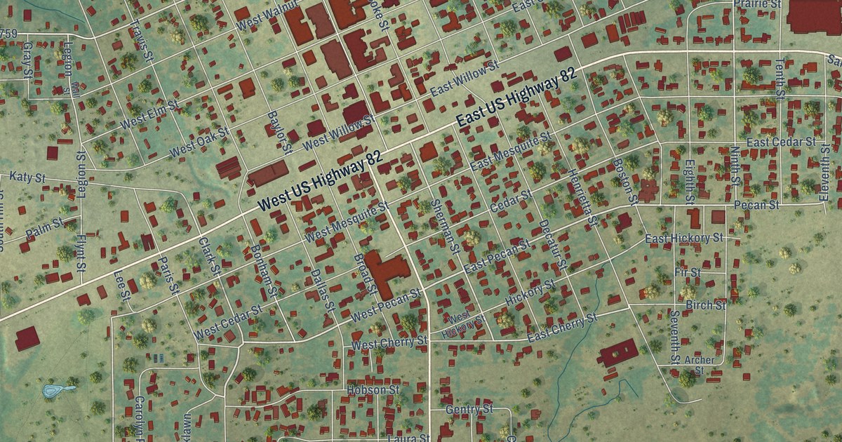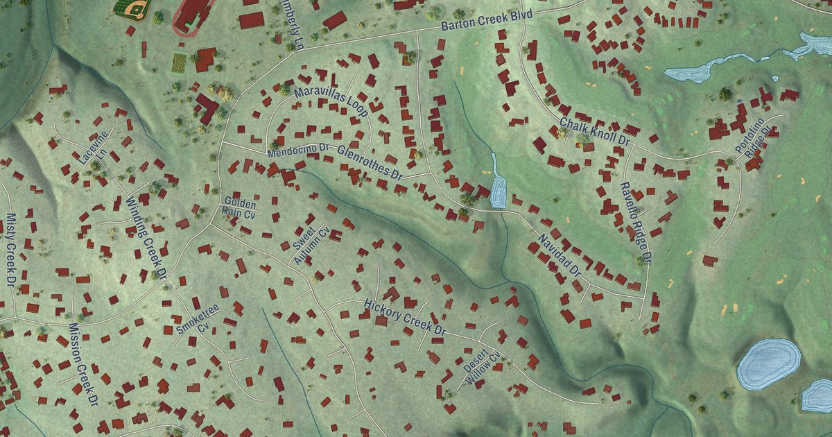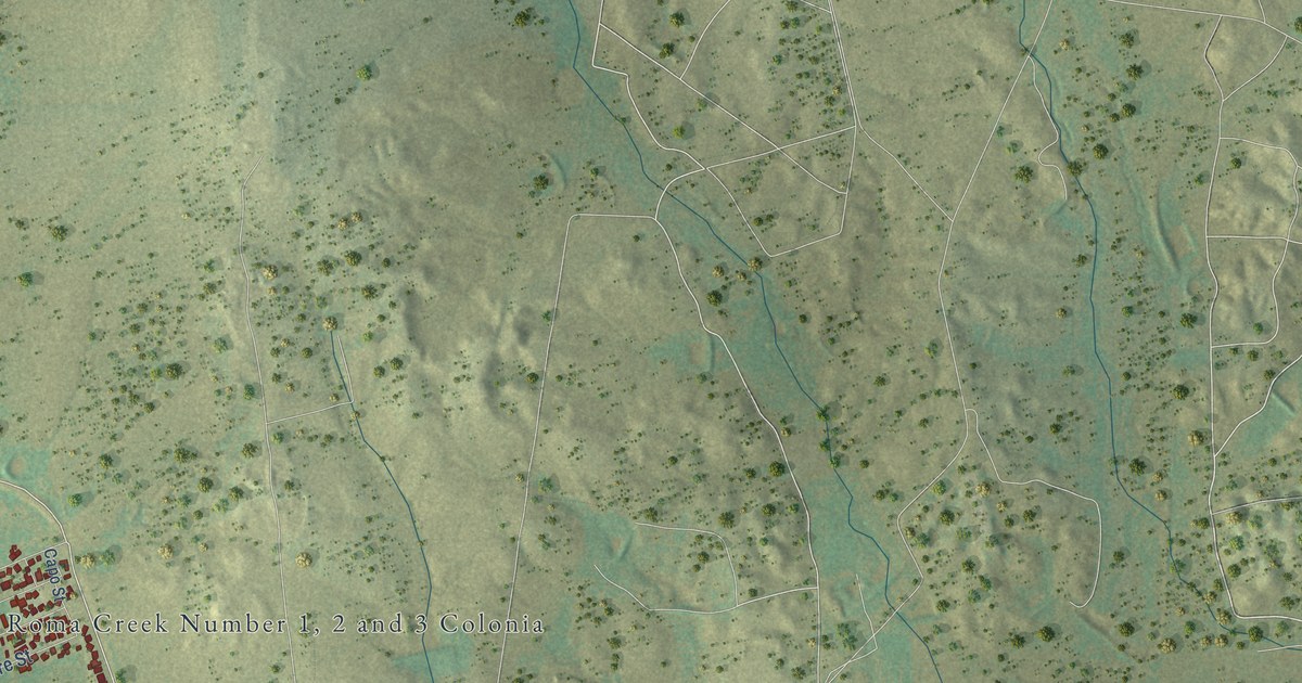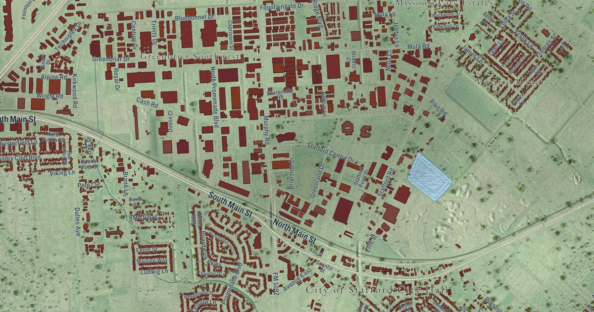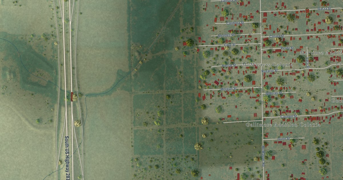
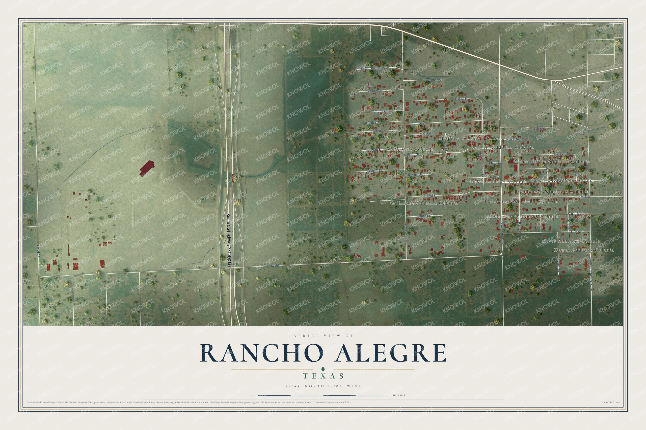
This beautifully detailed map of Rancho Alegre, Texas was created in 2026 using aerial imagery combined with modern topographical, census, street and landmark data. It's a modern aerial view of Rancho Alegre in Jim Wells County, Texas, that combines modern data with a vintage aesthetic. The roads feature printed names, and if you look closely you can find your exact house accurately shown in its correct location.
Explore an aerial view of Rancho Alegre, Texas
On this map you'll find Holshouser Number 1 Colonia, Sanchez Addition Colonia, Gallimore Addition Colonia, McMasters Colonia, La Jolla Addition Colonia, Hawks Addition Colonia, Guerra Estate Addition Colonia, Guerra Addition Colonia, Martinez Addition Colonia, Holshouser Number 2 Colonia, Holshouser Number 3 Colonia, Mayes Addition Colonia, and more. Each red shape is a building, so zoom in on the preview and look for yours.
Rancho Alegre is a community in Jim Wells County. The Census Bureau counted 1,415 people here in 2020. The map prints the town name in its title panel, with the coordinates below it.
Take a closer look at the Rancho Alegre map
Names on this map
These names are printed on this map.
Places: Holshouser Number 1 Colonia, Sanchez Addition Colonia, Gallimore Addition Colonia, McMasters Colonia, La Jolla Addition Colonia, Hawks Addition Colonia, Guerra Estate Addition Colonia, Guerra Addition Colonia, Martinez Addition Colonia, Holshouser Number 2 Colonia, Holshouser Number 3 Colonia and Mayes Addition Colonia.
Streets and roads: South US Highway 281 Bypass, Beam Station Road, Araiza Street, FM 1554, McMaster Road, South Gulf Street, Garza Street, Rosario Street, Carmen Street, Castillo Street, Herrera Street, Luera Street.
More street names, A to Z
Cardona Street, Corina Street, Cristina Street, Cruz Street, Diana Street, Elvira Street, Evelyn Street, FM 2507, Gunn Street, Hernandez Street, Huisache Street, Iglesias Street, Lara Street, Mendez Street, Morgan Street, Pennant Street, Perez Street, Pierce Street, Range Street, Rayo Street, Rene Street, Rodriguez Street, Rodriquez Street, San Felipe Street, South Gulf, Vela Street, Zamora Street.
See it on a wall
The Rancho Alegre map as a framed print. Swipe for more.


Created by KNOWOL in 2026. The buildings are small red shapes, the roads carry their printed names, and shaded relief shows the shape of the land. The title panel reads "AERIAL VIEW OF RANCHO ALEGRE, TEXAS" with 27°44' NORTH 98°06' WEST.
It suits a den, a classroom or a front hall, and it makes a gift for anyone with Rancho Alegre roots. Open the preview and find the block you know. See sizes and frames for the Rancho Alegre map.