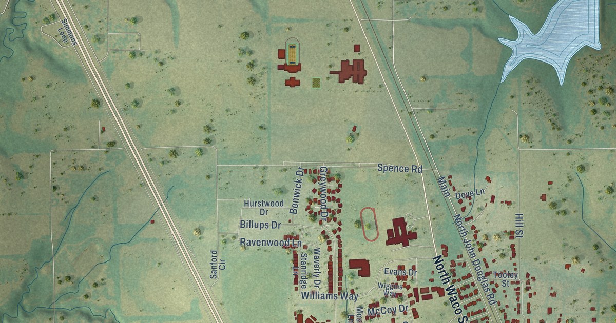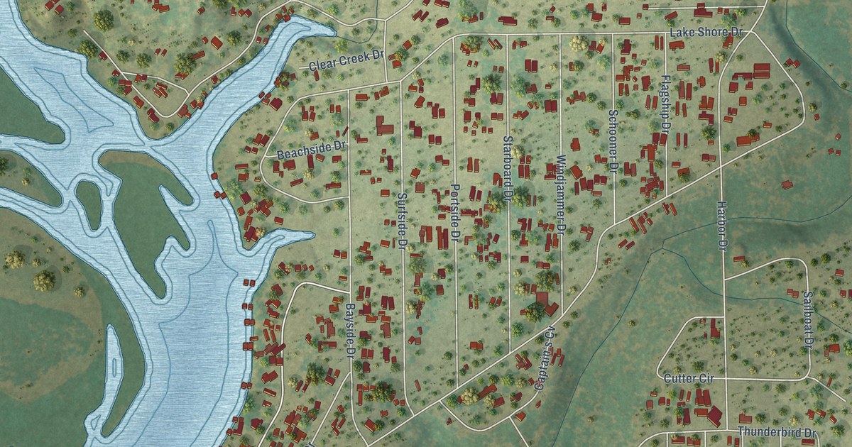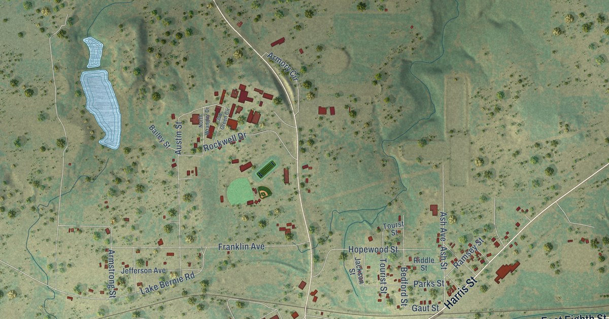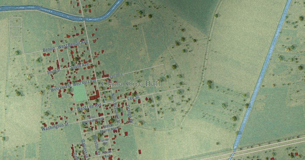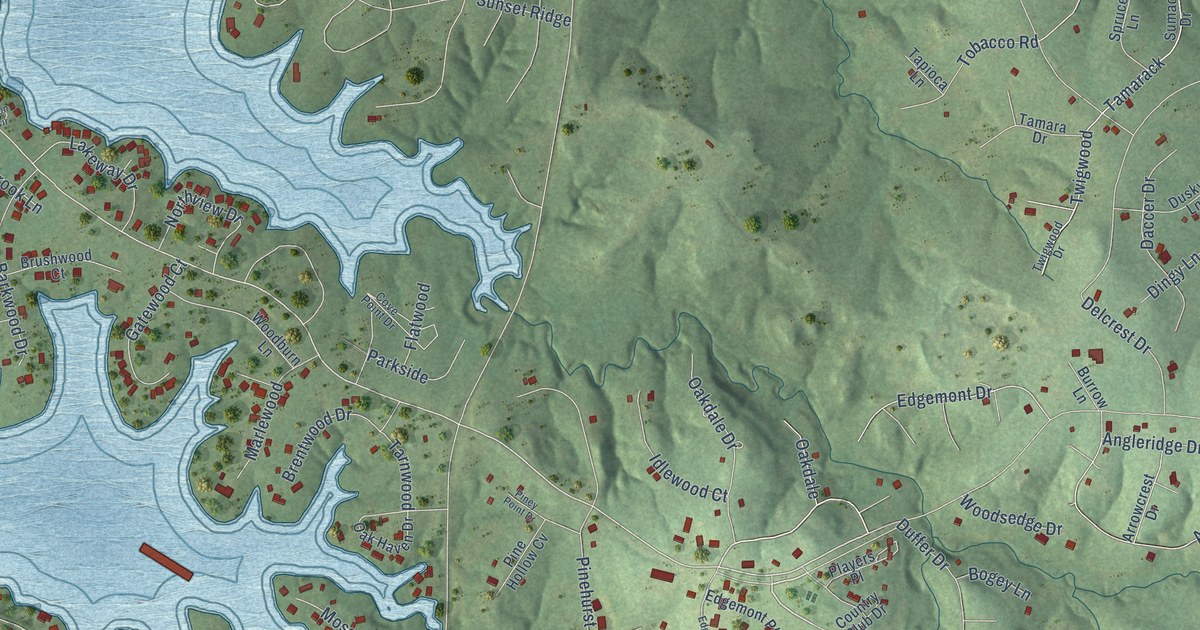
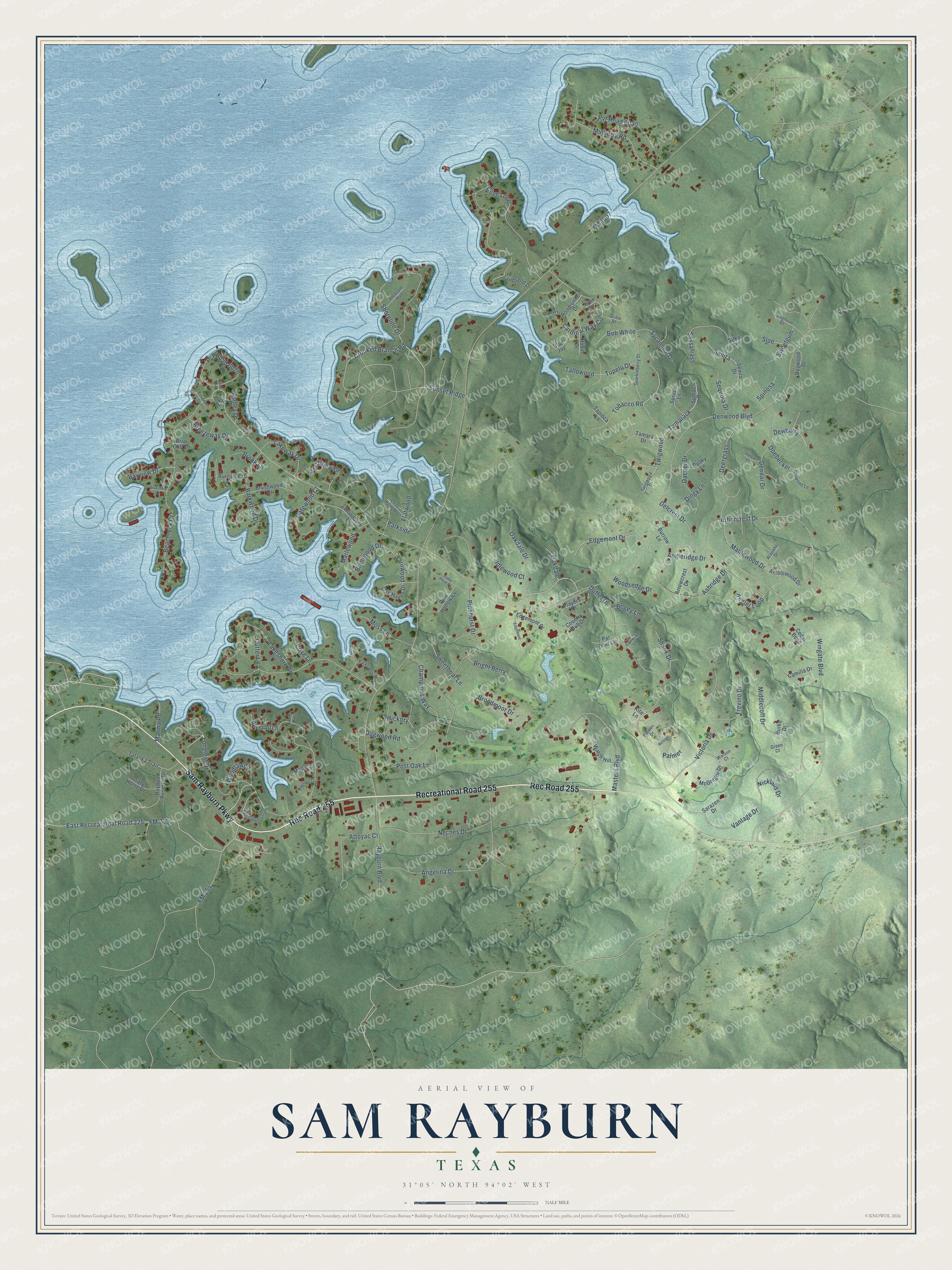
This beautifully detailed map of Sam Rayburn, Texas was created in 2026 using aerial imagery combined with modern topographical, census, street and landmark data. It's a modern aerial view of Sam Rayburn in Jasper County, Texas, that combines modern data with a vintage aesthetic. The roads feature printed names, and if you look closely you can find your exact house accurately shown in its correct location.
Explore an aerial view of Sam Rayburn, Texas
On this map you'll find Rec Road 255, Sam Rayburn Parkway, Recreational Road 255, East Recreational Road 225, Dewberry, Wingate Boulevard, Angleridge Drive, Angler Loop, Tupelo Drive, FM 225, Crooked Branch Road, Edgemont Drive, and more. Each red shape is a building, so zoom in on the preview and look for yours.
Sam Rayburn is a community in Jasper County. The Census Bureau counted 1,273 people here in 2020. Sam Rayburn sits about 4 miles southwest of Browndell, 11 miles north of Jasper and 12 miles south of Pineland. The map prints the town name in its title panel, with the coordinates below it.
Take a closer look at the Sam Rayburn map
Names on this map
These names are printed on this map.
Streets and roads: Rec Road 255, Sam Rayburn Parkway, Recreational Road 255, East Recreational Road 225, Dewberry, Wingate Boulevard, Angleridge Drive, Angler Loop, Tupelo Drive, FM 225, Crooked Branch Road, Edgemont Drive.
More street names, A to Z
Amblewood Drive, Angelina Drive, Arapaho Drive, Arborcrest Drive, Arrowcrest Drive, Ashley Drive, Ashridge Drive, Attoyac Court, Barkwood Drive, Bayview Drive, Beachrock Drive, Blue Jay, Bluejay Drive, Blueshore Lane, Bob White, Bogey Lane, Boxwood Lane, Breezeway Drive, Brentwood Drive, Briar Cliff Lane, Bright Berry, Broadmoor Drive, Brook Lane, Brushwood Court, Burke Drive, Burnside Drive, Burrow Lane, Camilla Drive, Cardinal Way Circle, Cedar Bend, Champions Way, Cicle Drive, Circle Drive, Country Club Drive, Cove Lane, Cove Loop, Cove Point Drive, Crazy Horse Drive, Cutter Lane, Daccer Drive, Dalea Lane, Deergrass, Delcrest Drive, Denwood Boulevard, Deodar Drive, Dingy Lane, Doebecker, Dogwood Drive, Dogwood Road, Drywood Lane, Duffer Drive, Dusky Lane, Edgemont, Edgemont Place, Eton Circle, Fairway Lane, Flatwood, FM 254, FM 1007, Gatewood Court, Green Court, Hawk Lane, Hickory, Idlewood Court, Kite Lane, Lakeshore Drive, Lakeway Drive, Landsend Drive, Longleaf Drive, Magnolia Lane, Maple Lane, Maplewood Drive, Marina Road, Marlewood, Masters Boulevard, McGregor Drive, Middlecoff Drive, Moss Lane, Mulberry Road, Neches Drive, Nelson, Nicklaus Drive, Northview Drive, Oakdale, Oakdale Drive, Oak Haven Drive, Oriole Street, Palmer, Palmer Drive, Par Four Lane, Parkside, Parkside Loop, Pine Hollow Cv, Pinehurst Drive, Piney Point Drive, Players Place, Pleasant Run, Post Oak Lane, Pvt Road 6020, Pvt Road 6070, Rayburn Boulevard, Rayburn Reserve Drive, Red Oak, Riverbirch, Roadrunner Drive, Robin Drive, Sanita, Sarazen Drive, Sassafrass, Senita Drive, Sequoia Drive, Shank Drive, Shoreline Drive, Sitka Lane, Sloe, Sparkleberry Drive, Spinosa, Spruce Lane, Staghorn Drive, Sumac Drive, Sunset Ridge, Sweetbriar Lane, Sweetgum, Sweetgum Loop, Sycamore Drive, Tallowood, Tamarack, Tamara Drive, Tapioca Lane, Tarnwood, Tatanka Trail, Tobacco Road, Trevino Drive, Twigwood, Twigwood Drive, Vantage Drive, Victoria Drive, Watch Hill, Watson Court, Woodburn Lane, Woodlawn, Woodsedge Drive.
See it on a wall
The Sam Rayburn map as a framed print. Swipe for more.


Created by KNOWOL in 2026. The buildings are small red shapes, the roads carry their printed names, and shaded relief shows the shape of the land. The title panel reads "AERIAL VIEW OF SAM RAYBURN, TEXAS" with 31°05' NORTH 94°02' WEST.
It suits a den, a classroom or a front hall, and it makes a gift for anyone with Sam Rayburn roots. Open the preview and find the block you know. See sizes and frames for the Sam Rayburn map.