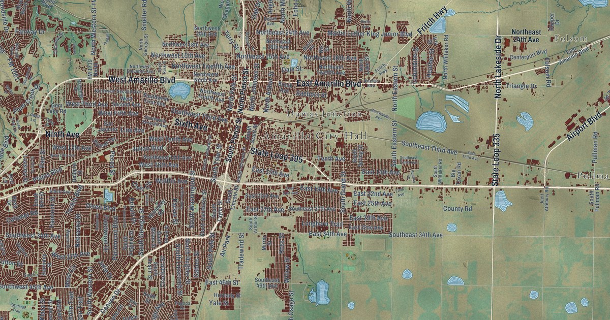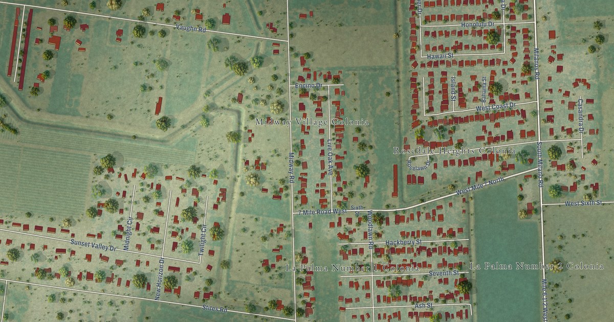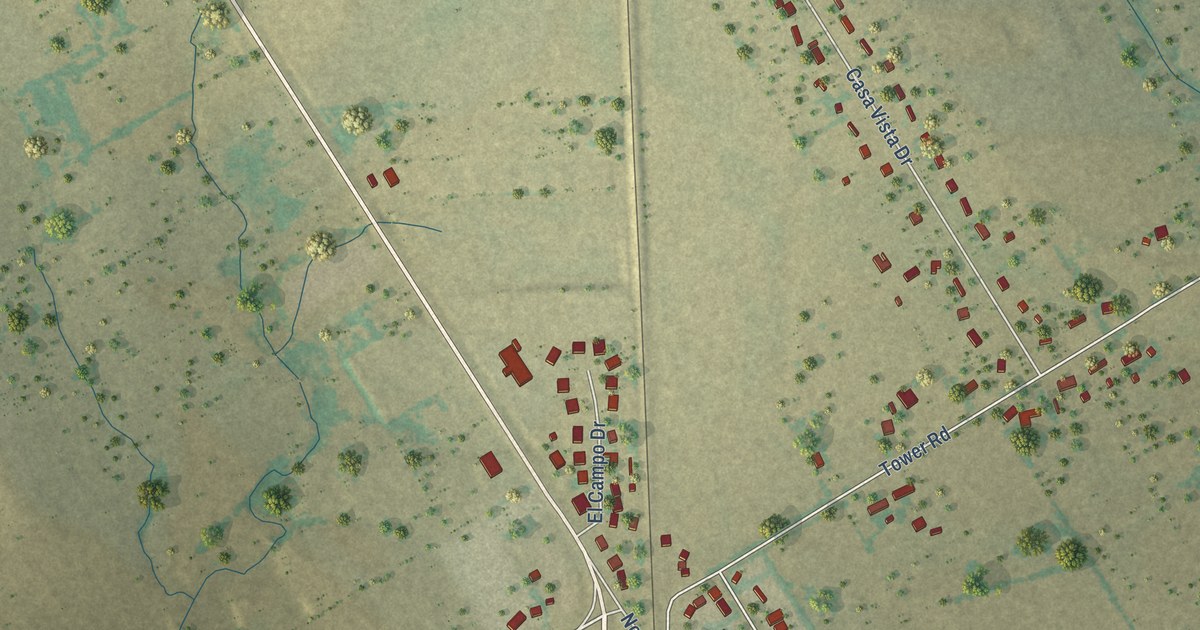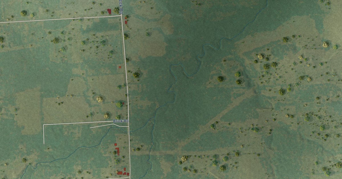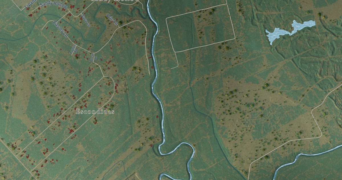
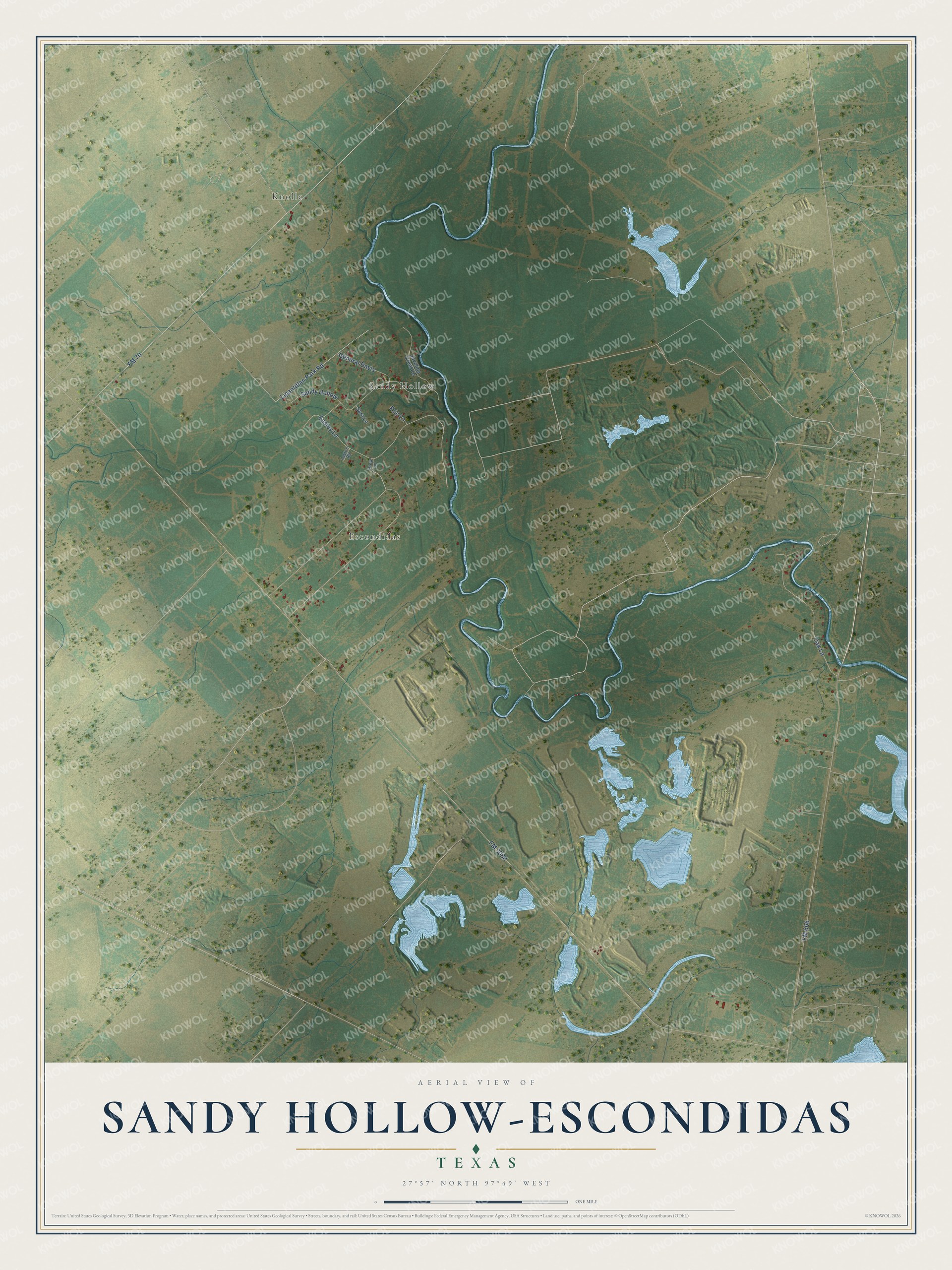
This beautifully detailed map of Sandy Hollow-Escondidas, Texas was created in 2026 using aerial imagery combined with modern topographical, census, street and landmark data. It's a modern aerial view of Sandy Hollow-Escondidas in Nueces County, Texas, that combines modern data with a vintage aesthetic. The roads feature printed names, and if you look closely you can find your exact house accurately shown in its correct location.
Explore an aerial view of Sandy Hollow-Escondidas, Texas
On this map you'll find Knolle, Sandy Hollow, Escondidas, FM 3088, FM 666, FM 70, Easley Lane, Oak Lane, Lipantitlan Park Road, General Davis, Eric Lane, Javelina Creek Drive, and more. Each red shape is a building, so zoom in on the preview and look for yours.
Sandy Hollow-Escondidas has a story worth telling. In 1728 the Spanish built a fort beside a Lipan Apache village with the Aztec name Lipantitlan. Mexican troops garrisoned Fort Lipantitlan about 1831 to discourage more Anglo-American colonization, and in the fall of 1835 Texan volunteers under Ira Westover captured it. The fight was not decisive, but it boosted the Texans' morale. In 1842 volunteers under Gen. James Davis held the fort against an attack by Gen. Antonio Canales. After that battle the post was abandoned and soon crumbled into ruin. That's from the Texas Historical Commission.
Sandy Hollow-Escondidas is a community in Nueces County. The Census Bureau counted 342 people here in 2020.
Take a closer look at the Sandy Hollow-Escondidas map
Names on this map
These names are printed on this map.
Places: Knolle, Sandy Hollow and Escondidas.
Streets and roads: FM 3088, FM 666, FM 70, Easley Lane, Oak Lane, Lipantitlan Park Road, General Davis, Eric Lane, Javelina Creek Drive, Sara Lane, Layton Road and Drew Lane.
See it on a wall
The Sandy Hollow-Escondidas map as a framed print. Swipe for more.


Created by KNOWOL in 2026. The buildings are small red shapes, the roads carry their printed names, and shaded relief shows the shape of the land. The title panel reads "AERIAL VIEW OF SANDY HOLLOW-ESCONDIDAS, TEXAS" with 27°57' NORTH 97°49' WEST.
It looks right in a kitchen, an office or a den, and it's a gift for anyone who grew up in Sandy Hollow-Escondidas or moved away. Open the preview and find your street. See sizes and frames for the Sandy Hollow-Escondidas map.