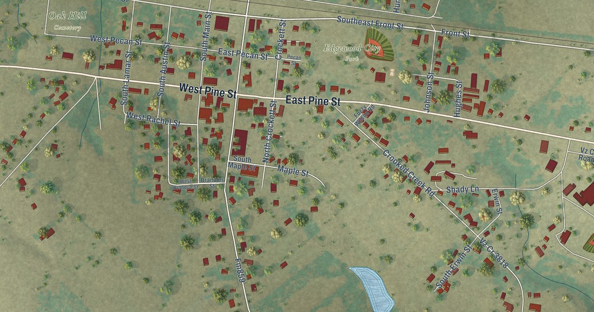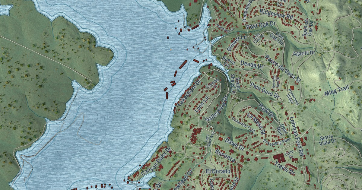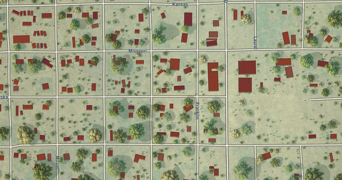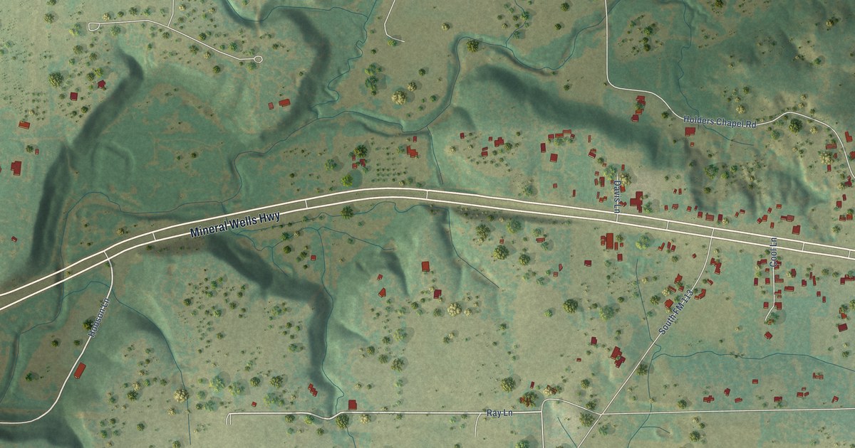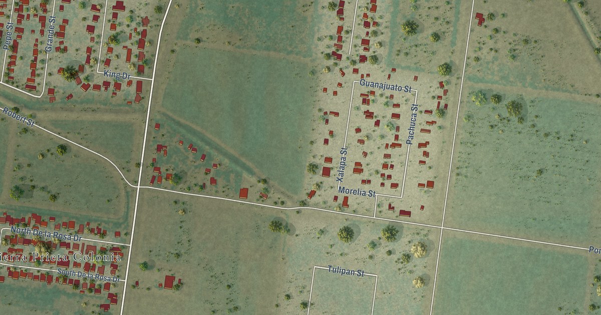
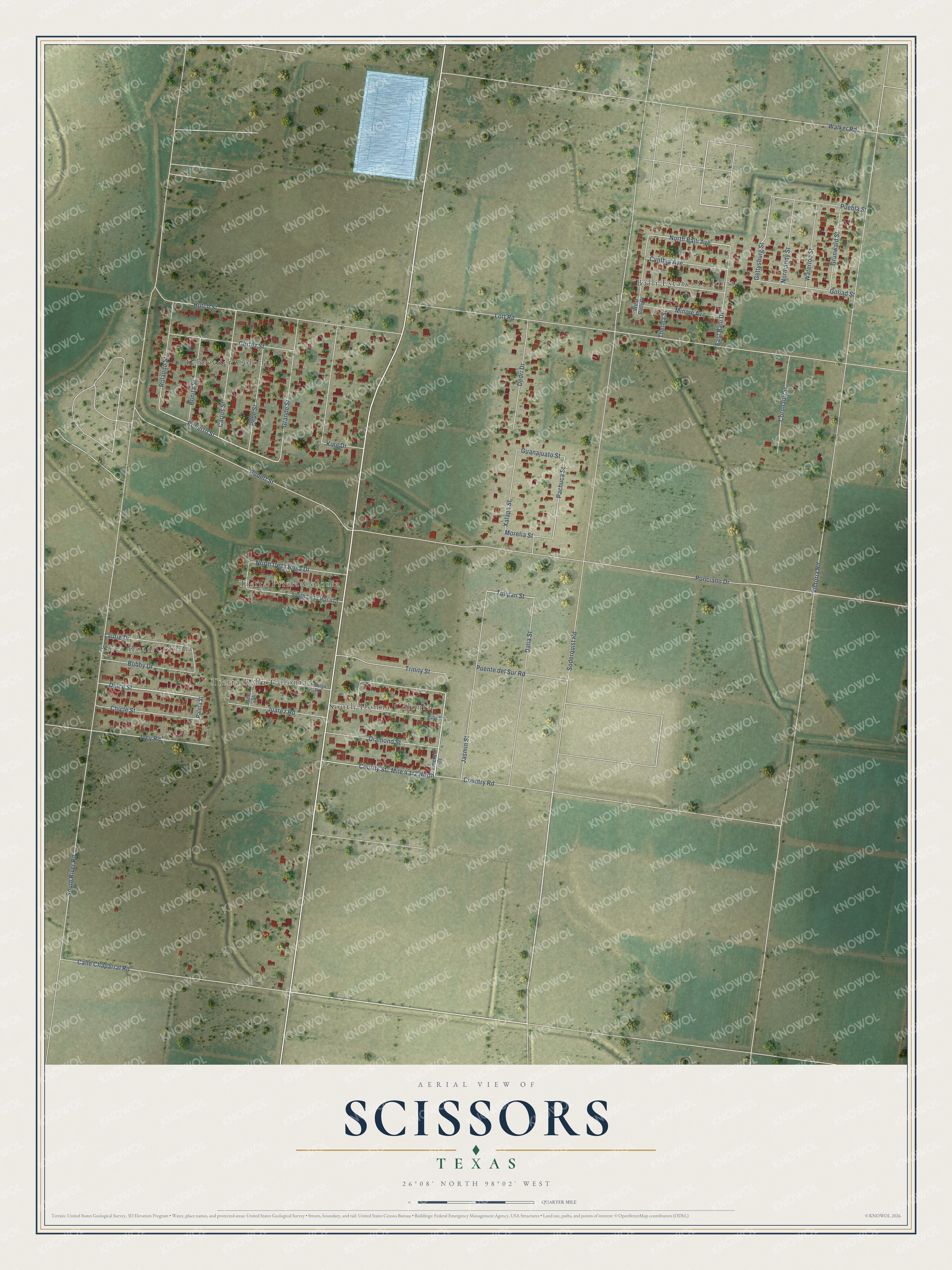
This beautifully detailed map of Scissors, Texas was created in 2026 using aerial imagery combined with modern topographical, census, street and landmark data. It's a modern aerial view of Scissors in Hidalgo County, Texas, that combines modern data with a vintage aesthetic. The roads feature printed names, and if you look closely you can find your exact house accurately shown in its correct location.
Explore an aerial view of Scissors, Texas
On this map you'll find Schroeder Colonia, Balli Estates Colonia, River Road Colonia, Tierra Prieta Colonia, South Donna Colonia, Tierra Bella Colonia, Dulce Street, Roberto Street, North Balli Avenue, Tulipan Street, Gettysburg Street, Pachuca Street, and more. Each red shape is a building, so zoom in on the preview and look for yours.
Scissors is a community in Hidalgo County. The Census Bureau counted 3,758 people here in 2020. The map prints the town name in its title panel, with the coordinates below it.
Take a closer look at the Scissors map
Names on this map
These names are printed on this map.
Places: Schroeder Colonia, Balli Estates Colonia, River Road Colonia, Tierra Prieta Colonia, South Donna Colonia and Tierra Bella Colonia.
Streets and roads: Dulce Street, Roberto Street, North Balli Avenue, Tulipan Street, Gettysburg Street, Pachuca Street, South River Road, Soderquist Road, Victoria Road, Ponciano Drive, Lott Road, Hutch Street.
More street names, A to Z
Bobby Drive, Bonita Street, Calle Chaparral Road, Carlos Street, Chicle Street, Coronado Street, Cortez Street, Country Road, Courtly Street, Cynthia Avenue, Dalia Street, Dedri Drive, Diamond Street, East Balli Drive, Emerald Street, Goliad Street, Grande Street, Grunwald Street, Guanajuato Street, Hidalgo Road, Ivey Road, Jasmin Street, Juarez Road, King Drive, Laurie Drive, Minnie Avenue, Morelia Street, Normandy Street, North De la Rosa Drive, Paleta Street, Pepe Street, Puebla Street, Puente del Sur Road, Robert Street, Rolando Street, Ruby Street, South De la Rosa Drive, Thelma Street, Trinity Street, Walker Road, Waterloo Street, West Balli Drive, Xalapa Street, Zapata Street.
See it on a wall
The Scissors map as a framed print. Swipe for more.


Created by KNOWOL in 2026. The buildings are small red shapes, the roads carry their printed names, and shaded relief shows the shape of the land. The title panel reads "AERIAL VIEW OF SCISSORS, TEXAS" with 26°08' NORTH 98°02' WEST.
Hang it in the hallway, the office or the cabin, or give it to someone who left Scissors and still calls it home. Open the preview and look for a street you know. See sizes and frames for the Scissors map.