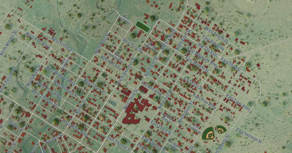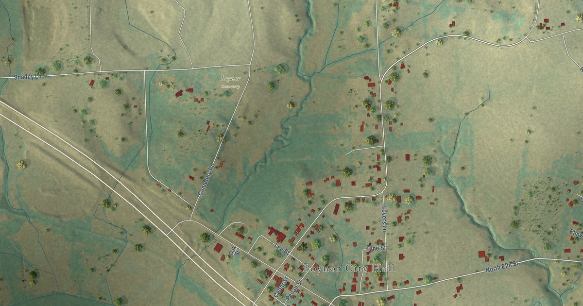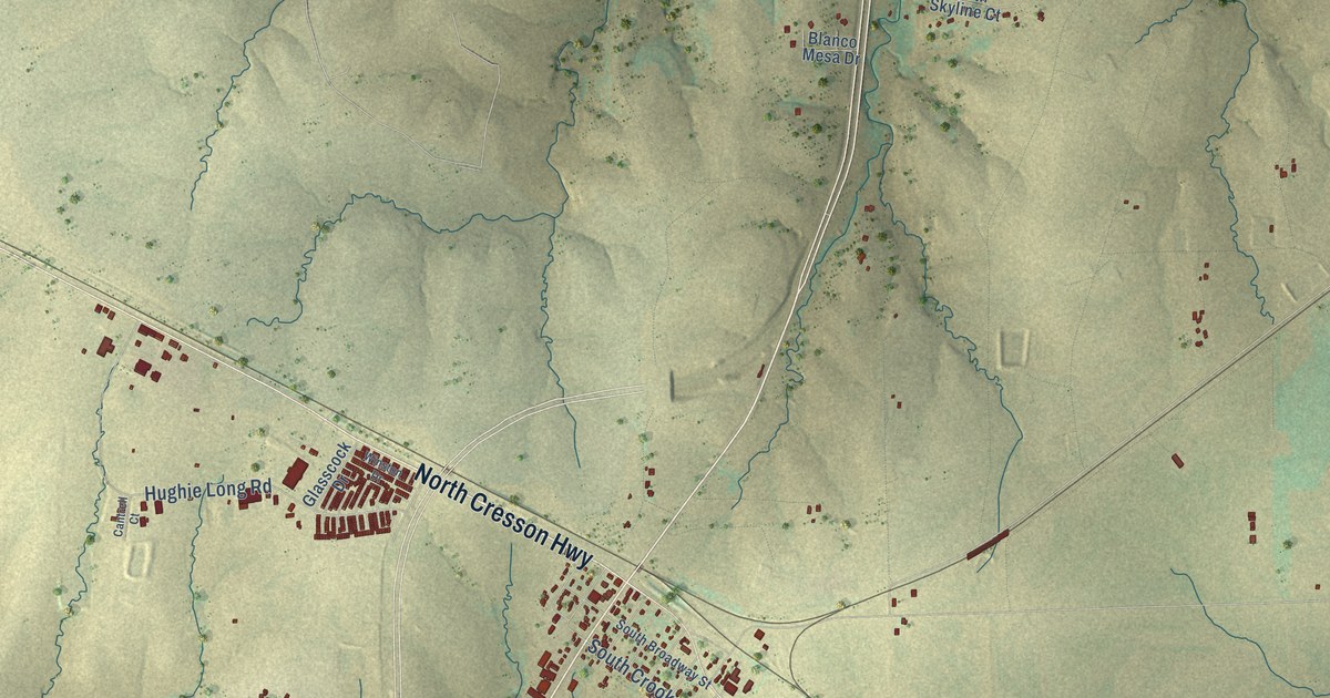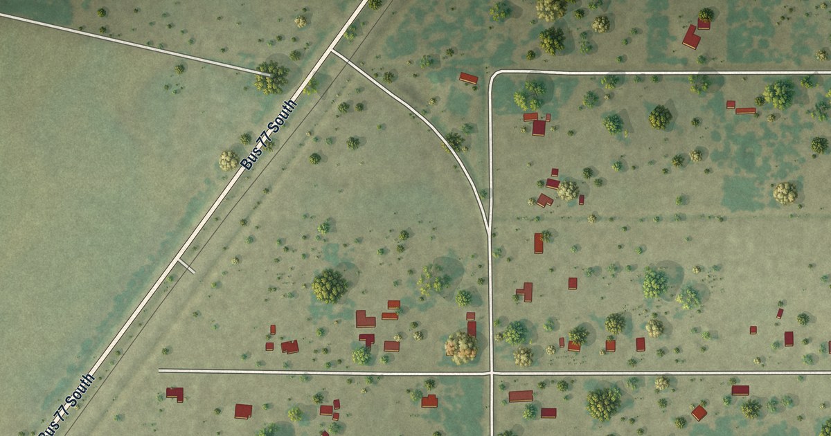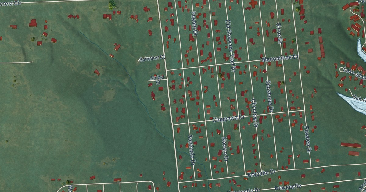
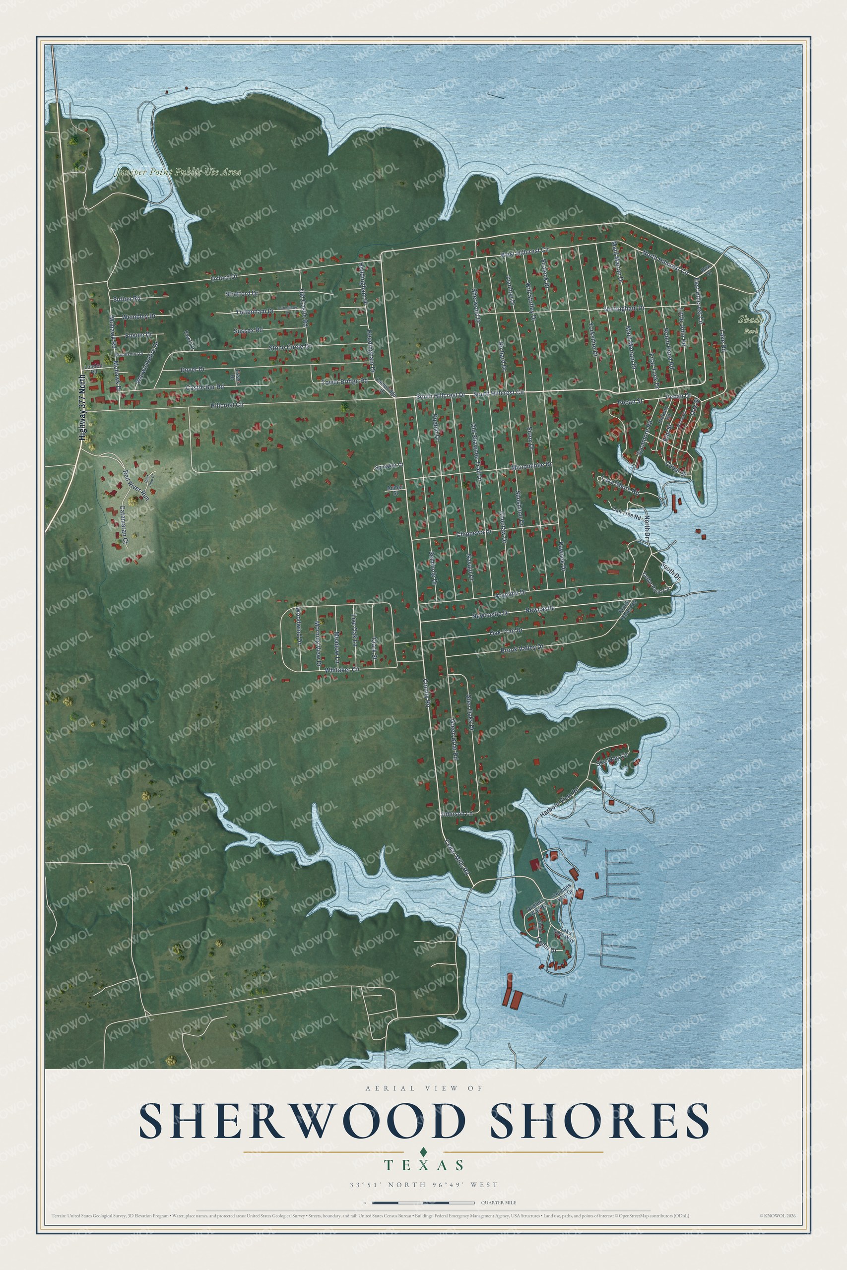
This beautifully detailed map of Sherwood Shores, Texas was created in 2026 using aerial imagery combined with modern topographical, census, street and landmark data. It's a modern aerial view of Sherwood Shores in Grayson County, Texas, that combines modern data with a vintage aesthetic. The roads feature printed names, and if you look closely you can find your exact house accurately shown in its correct location.
Explore an aerial view of Sherwood Shores, Texas
On this map you'll find Juniper Point Public Use Area, Shady Park, Highway 377 North, Lake Road, South Hillcrest Drive, South Hillcrest Circle, County Road, East Hillcrest Circle, Cedar Mills Road, South Drive, North Drive, Elm Street, and more. Each red shape is a building, so zoom in on the preview and look for yours.
Sherwood Shores is a community in Grayson County. The Census Bureau counted 1,165 people here in 2020. Sherwood Shores sits about 9 miles west of Preston, 10 miles northwest of Pottsboro and 12 miles north of Sadler. The map prints the town name in its title panel, with the coordinates below it.
Take a closer look at the Sherwood Shores map
Names on this map
These names are printed on this map.
Places: Juniper Point Public Use Area and Shady Park.
Streets and roads: Highway 377 North, Lake Road, South Hillcrest Drive, South Hillcrest Circle, County Road, East Hillcrest Circle, Cedar Mills Road, South Drive, North Drive, Elm Street, Sherwood Drive, West Hillcrest Circle.
More street names, A to Z
Amber Street, Anglers Way Road, Arapaho Drive, Boat Club Court, Bow Drive, Brookshire Drive, Brook Valley Drive, Brook Valley Road, Cambridge Drive, Castle Bar Road, Catamaran Court, Cedar Drive, Cedar Point Circle, Cedar Street, Chippewa Drive, Choctaw Drive, Clark Street, Dover Drive, Epsom Drive, Essex Drive, Ewell Drive, Friar Tuck Drive, Glen Oaks Drive, Green Briar Road, Harbour View Road, Headingham Drive, Heddingham Drive, Hickory Road, Hillcrest Circle, Ivanhoe Drive, Johnson Lane, Lake Shore Road, Lake View Way, Little John Road, Live Oak Lane, London Road, Maid Mariam Drive, Maid Marian Drive, Meadow Lane, Menominee Drive, Mohawk Drive, Mohawk Road, Morning View Drive, Navajo Drive, Newcastle, Newcastle Drive, North Hillcrest Circle, Nottingham Drive, Oak Street, Oak Trail Drive, Oak Tree Road, Old Castle Road, Old Shawnee Trail Drive, Oxford Drive, Pawnee Drive, Pecan Drive, Pecan Street, Pelicans Way Drive, Pueblo Drive, Red River Run, Richard Drive, Robin Hood Road, Scalock Drive, Seminole Drive, Shoshone Drive, Sioux Drive, Sky Way Circle, Spinaker Court, Stone Circle Drive, Stratford Drive, Striper Lane, Sussex Road, Sutton Road, Sycamore Road, Tottenham Drive, Tottingham Drive, Tower Bridge Road, Warwickshire Drive, Wembley Drive, Whitaker Circle, Willow Road, Will Stutley Drive, Woodwind Drive, Yorkshire Drive.
See it on a wall
The Sherwood Shores map as a framed print. Swipe for more.


Created by KNOWOL in 2026. The buildings are small red shapes, the roads carry their printed names, and shaded relief shows the shape of the land. The title panel reads "AERIAL VIEW OF SHERWOOD SHORES, TEXAS" with 33°51' NORTH 96°49' WEST.
Hang it in the hallway, the office or the cabin, or give it to someone who left Sherwood Shores and still calls it home. Open the preview and look for a street you know. See sizes and frames for the Sherwood Shores map.