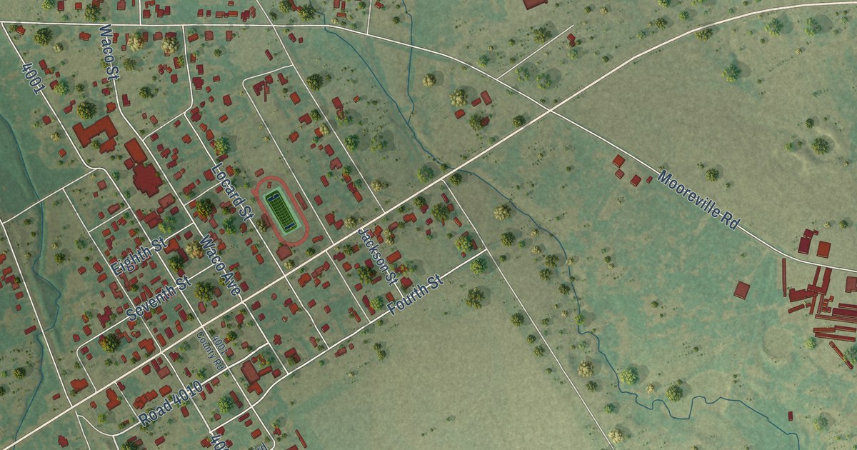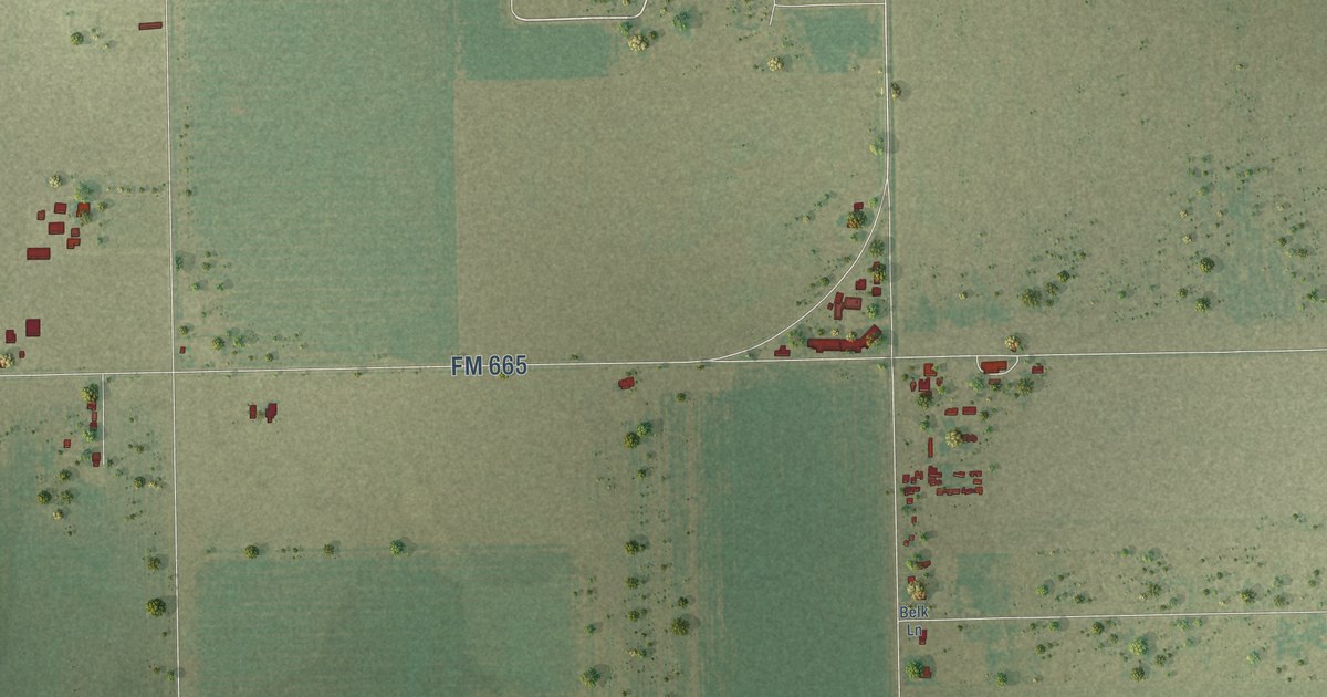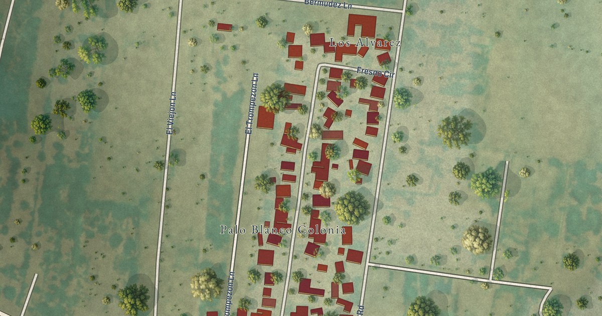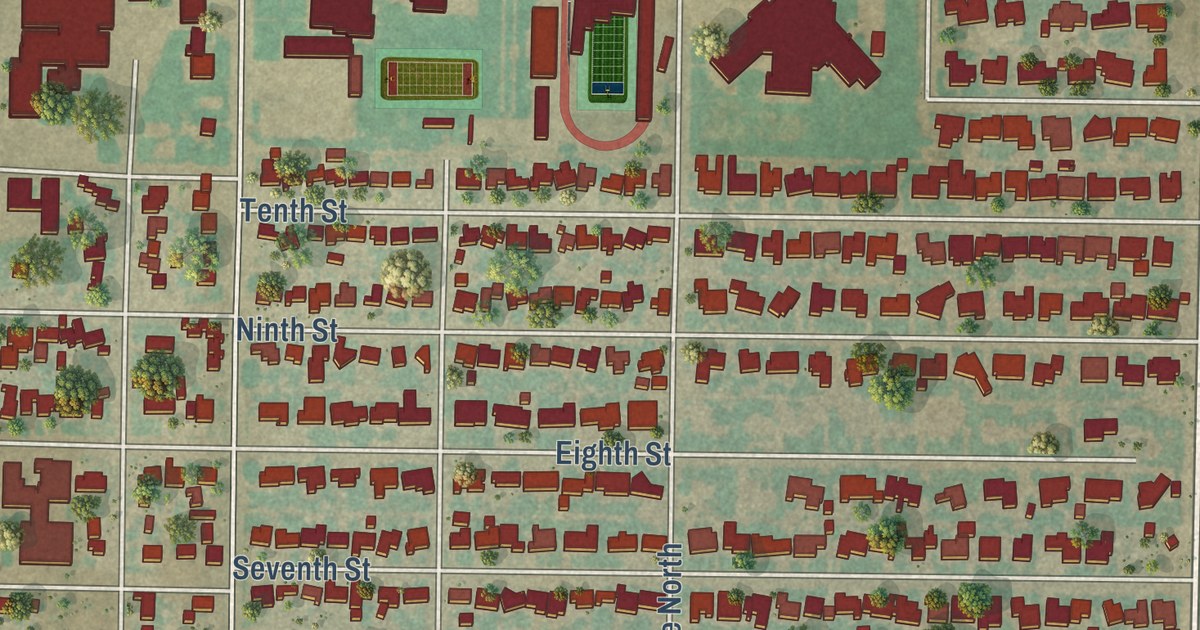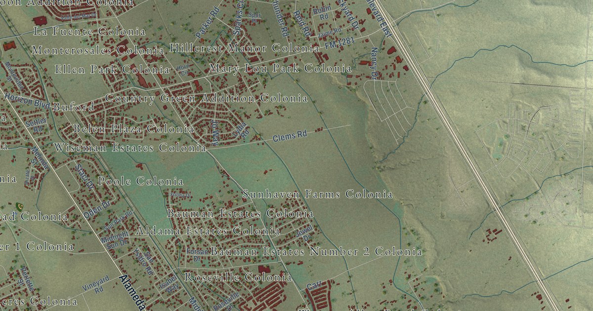
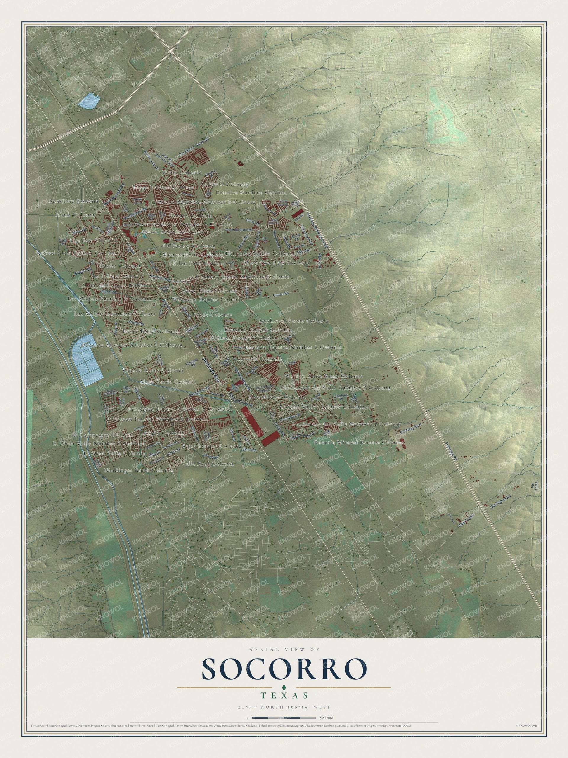
This beautifully detailed map of Socorro, Texas was created in 2026 using aerial imagery combined with modern topographical, census, street and landmark data. It’s a one-of-a-kind view of Socorro that combines accurate data with a vintage aesthetic. The map shows every building in its true location, many of the roads carry their names, and the shaded topographic relief shows the shape of the land.
Explore an aerial view of Socorro, Texas
On the map you’ll find Adobe Colonia, Alameda Estates Colonia, Aldama Estates Colonia, Algodon Colonia, Aljo Estates Colonia, Angie Colonia, Bagge Estates Colonia, Bauman Estates Colonia, Bauman Estates Number 2 Colonia, Bejar Estates Colonia, Belen Plaza Colonia, Bovee Road Colonia, and more. If you look closely you can even find your house accurately drawn in its correct location. Zoom in on the preview to look for yours.
Did you know this piece of Socorro, Texas history?
From the Handbook of Texas: "The first permanent mission, built in 1691, was swept away by flood in 1744, and a second church was built."
Take a closer look at the Socorro map
Street and place names on the Socorro, Texas map
These names are printed on the map of Socorro, Texas.
Places: Adobe Colonia, Alameda Estates Colonia, Aldama Estates Colonia, Algodon Colonia, Aljo Estates Colonia, Angie Colonia, Bagge Estates Colonia, Bauman Estates Colonia, Bauman Estates Number 2 Colonia, Bejar Estates Colonia, Belen Plaza Colonia, Bovee Road Colonia, Buford, Buford View Estates Colonia, Calcutta Colonia, Cotton Valley Estates Colonia, Country Green Addition Colonia, Delip Colonia, Dindinger Road Colonia, El Campestre Colonia, El Gran Valle Colonia, El Gran Valle Number 2 Colonia, Ellen Park Colonia, Frank Colonia, Friedman Estates Number 1 Colonia, Friedman Estates Number 2 Colonia, Grijalva Gardens Colonia, Gurdev Colonia, Haciendas del Valle Number 1 Colonia, Haciendas del Valle Number 2 Colonia, Hillcrest Manor Colonia, La Fuente Colonia, La Jolla Colonia, Las Milpas Addition Colonia, Las Milpas Number 2 Colonia, Mary Lou Park Colonia, Mesa Verde Colonia, Monterosales Colonia, Moon Addition Colonia, Moon Addition Number 2 Colonia, Moon Addition Number 3 Colonia, Poole Colonia, Rancho Miraval Estates Colonia, Roseville Colonia, Socorro Mission Number 1 Colonia, Sunhaven Farms Colonia, Sunshine Colonia, Valle Real Colonia, Vinedo Acres Colonia, Warren Allen Road Colonia and Wiseman Estates Colonia.
Streets and roads: Alameda Avenue, Frontage Road, Gateway Boulevard East, North Loop Drive, FM 258, FM 1281, Horizon Boulevard, Middle Drain Road, North Moon Road, Old Hueco Tanks Road, Bovee Road, Peters Road.
More street names, A to Z
Alison Drive, Alysisa, Angus Drive, Arzate Place, Bean Court, Bejar Drive, Belen Road, Berry Road, Bridgeway, Bundala Drive, Carr, Castlefin Drive, Chisolm Trail Drive, Cielo Azul Drive, Cielo Mar Drive, Clems Road, Clint Cutoff, Coker Road, Darrington Road, Dindinger Road, Dini Rozi Drive, Eligio Drive, Floralia Street, Flor del Rio, Flor del Sol, Flor Liatris Drive, FM 76, Forsan Drive, Friona Drive, Gateway East, Grijalva Drive, Haney Road, Horn Circle, Huereque Drive, Indio Court, Isabel Way, Jaime Road, Jewel Drive, Jo Way, Juan de Herrera Lateral, Keagle Road, Kendrick Circle, Laurie Jo Lane, Lydia Road, Manso Court, Manuel Ortega Avenue, Marquez Road, Melinda Street, Melissa Circle, Midnight Sun Drive, Montevideo Street, Nancy Drive, North Nevarez Road, North Rio Vista Road, Oden Drive, Parker Road, Passmore Road, Perlette Street, Piro Court, Place Road, Rancho Viejo Drive, Reid Road, Rhutan Road, Robin Road, Rosa Azul Drive, Roseville Drive, San Felipe Drive, Santos Sanchez Street, San Ysidro Road, Settler Road, Skov Road, South Moon Road, Sparks Circle, Spur Place, Staci Drive, Stockyard Drive, Sun Park Road, Sylvia Court, Tanton Road, Thunder Road, Tiwa Boulevard, Tomas Granillo Street, Trejo Road, Trenta Road, Valle Bajo Road, Valle del Mar Drive, Valle Lindo Drive, Valle Palos Verde Drive, Valle Suave Drive, Valley Ridge Drive, Varela Drive, Vineyard Road, Vis Larga, Winn Road, Worsham Road.
See the Socorro, Texas map on a wall
The Socorro map as an 18 x 24 inch print in a black frame.

This beautifully detailed map of Socorro makes an attractive addition to your office, library, or den, and it can even be used to teach children the geography and history of the area. It also makes a great gift for someone who left Socorro and still calls it home. When you’re done exploring, click here to get your copy of the Socorro map.