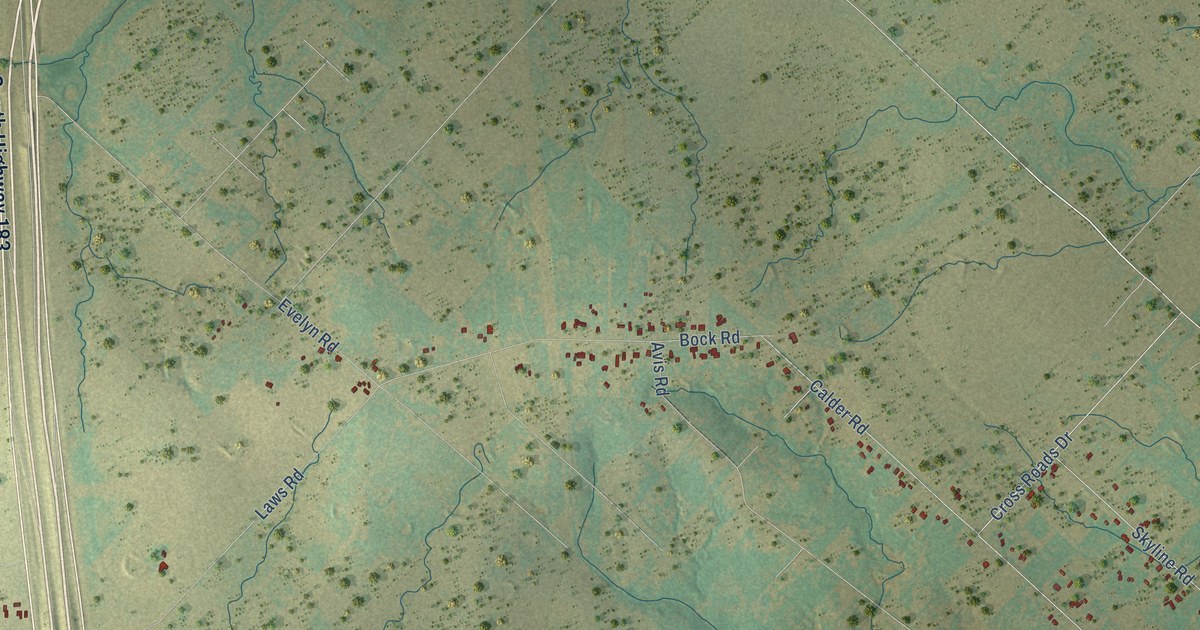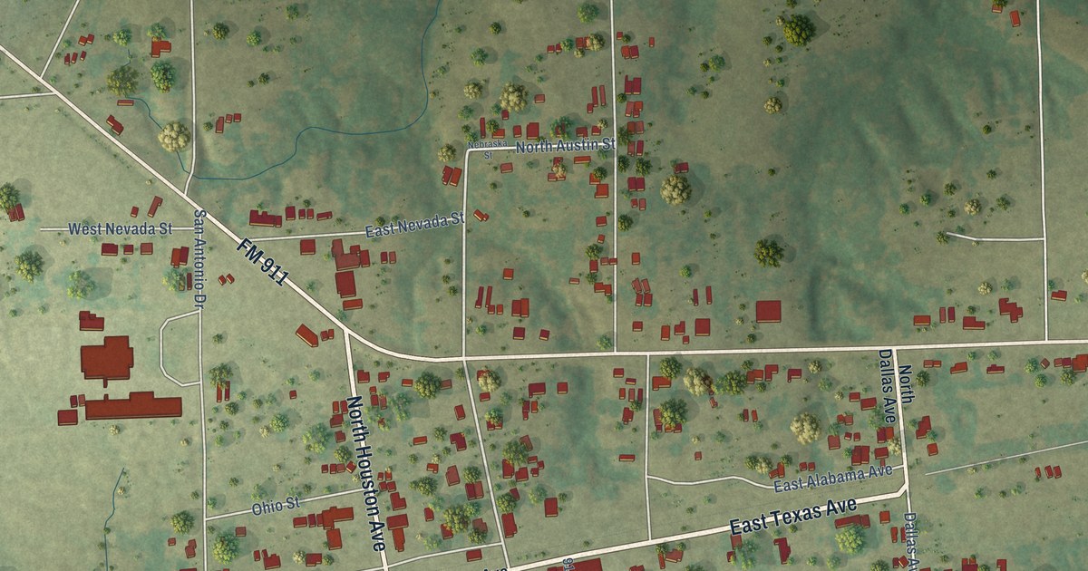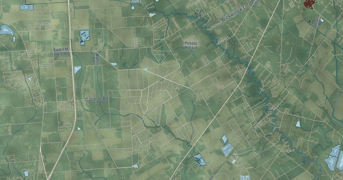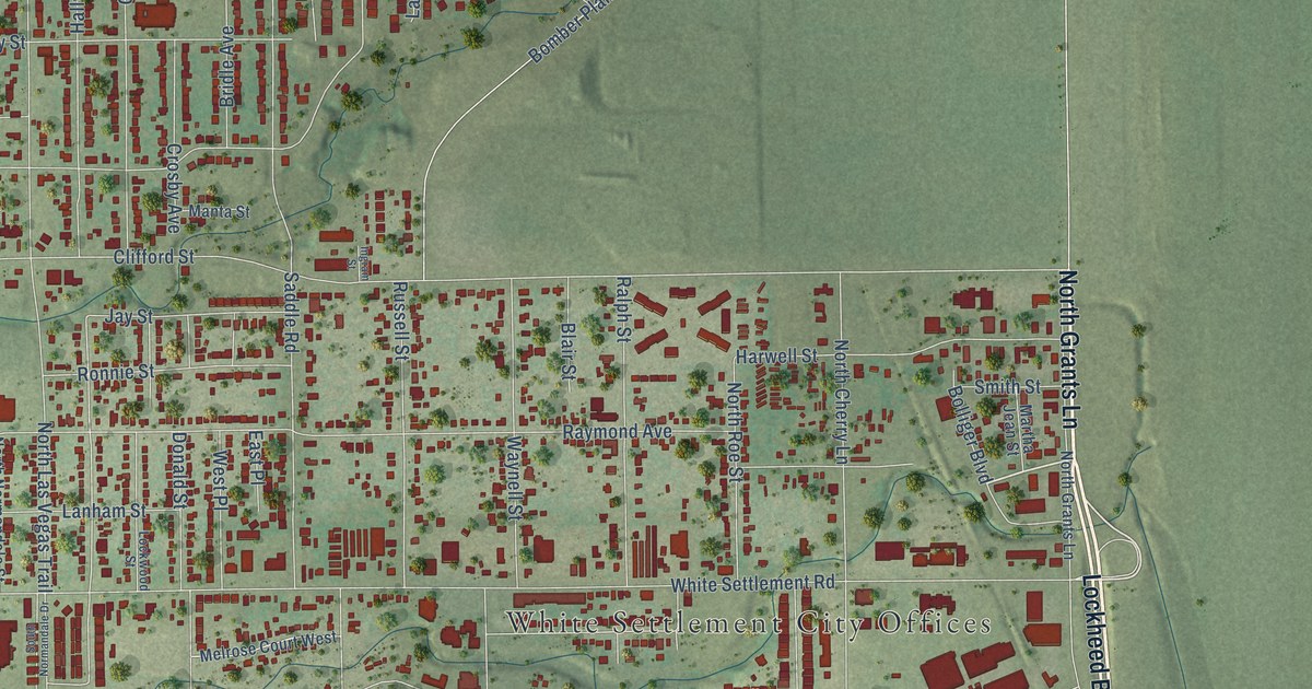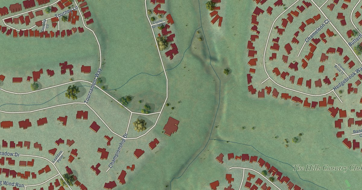
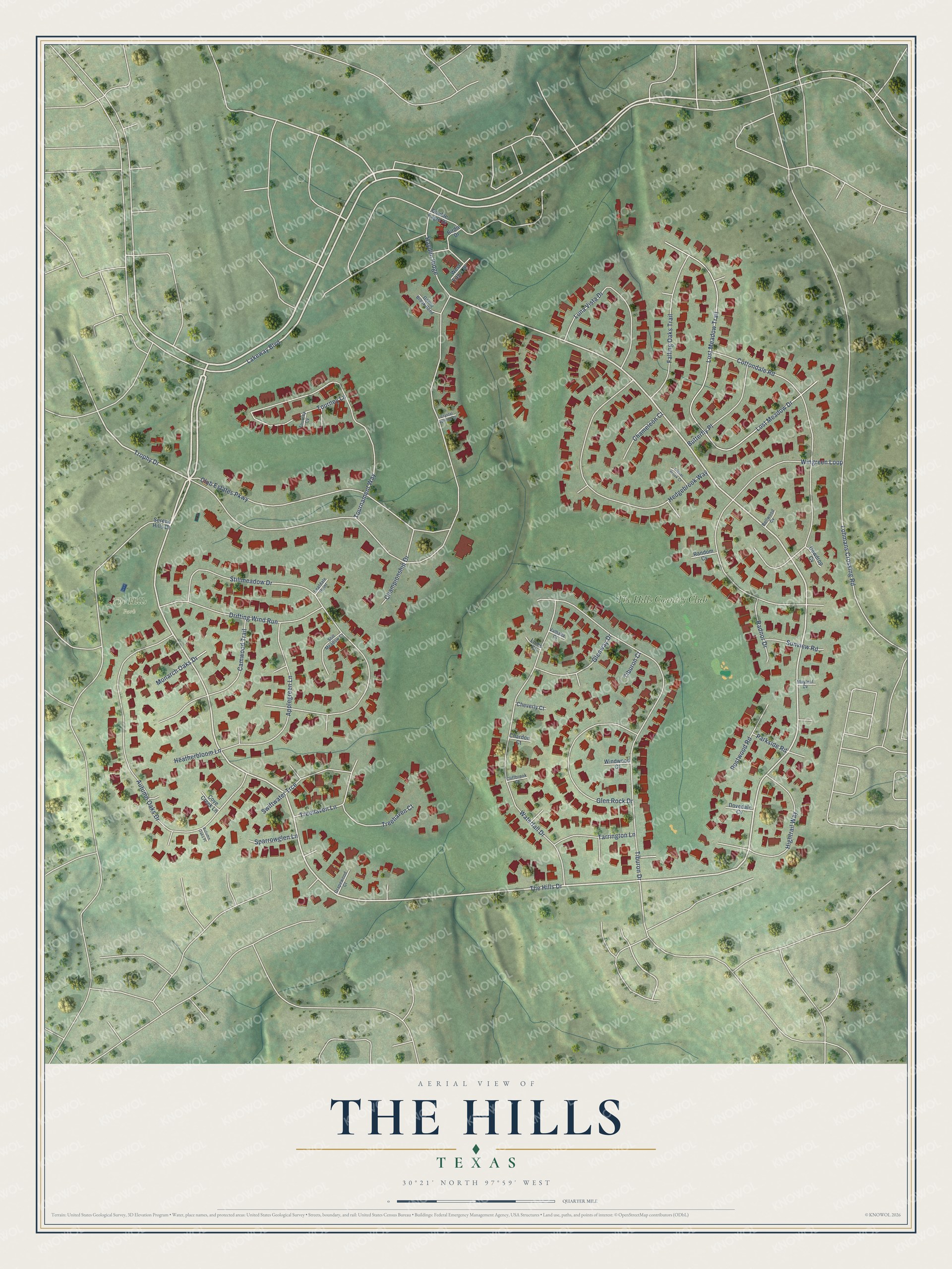
This beautifully detailed map of The Hills, Texas was created in 2026 using aerial imagery combined with modern topographical, census, street and landmark data. It's a modern aerial view of The Hills in Travis County, Texas, that combines modern data with a vintage aesthetic. The roads feature printed names, and if you look closely you can find your exact house accurately shown in its correct location.
Explore an aerial view of The Hills, Texas
On this map you'll find The Hills Park, The Hills Country Club, The Hills Drive, Lakeway Boulevard, Trophy Drive, Club Estates Parkway, Stillmeadow Drive, Lost Meadow Drive, Lost Meadow Trail, Tiburon Drive, Autumn Oaks Drive, Cottondale Road, and more. Each red shape is a building, so zoom in on the preview and look for yours.
Here is a piece of The Hills history, in the words of the record. The Village of The Hills puts it this way: "The Village of The Hills Mayor and City Council are proud to present the community’s first Comprehensive Plan, a guiding document for the future of our city. Following two public hearings, the plan was officially adopted on February 11, 2025."
The Hills is a village in Travis County. The Census Bureau counted 2,613 people here in 2020.
Take a closer look at The Hills map
Names on this map
These names are printed on this map.
Places: The Hills Park and The Hills Country Club.
Streets and roads: The Hills Drive, Lakeway Boulevard, Trophy Drive, Club Estates Parkway, Stillmeadow Drive, Lost Meadow Drive, Lost Meadow Trail, Tiburon Drive, Autumn Oaks Drive, Cottondale Road, Waterfall Drive, Wingreen Loop.
More street names, A to Z
Applegreen Lane, Autumn Oaks Place, Bellwood Cv, Birdie Drive, Butterfly Place, Camwood Trail, Chameleon Court, Championship Drive, Chardon Court, Cheverly Court, Cliffbrook Court, Clover Brook Court, Cove Creek Lane, Crystal Springs Court, Dewdrop Cv, Double Eagle Drive, Dovedale Cv, Drifting Wind Run, Falling Oaks Trail, Gentle Brook Bend, Glen Rock Drive, Glenway Drive, Grapewood Court, Hayden Ridge, Heatherbloom Lane, Hedgebrook Way, Hightrail Way, Leafdale Point, Links Court, Lohmans Crossing Road, Luna Vista Drive, Mayleaf Cv, Monarch Oaks Drive, Parkside Road, Postwood Road, Radnor Drive, Random Cv, Serene Hills Drive, Sparrowglen Lane, Still Meadow Court, Sunview Road, Swiftwater Trce, Tarrington Lane, Tiburon Court, Tournament Way, Tourney Cv, Tourney Lane, Treehaven Court, Treehaven Lane, Valhalla Court, West Eagle Drive, Windwood Court.
See it on a wall
The The Hills map as a framed print. Swipe for more.


Created by KNOWOL in 2026. The buildings are small red shapes, the roads carry their printed names, and shaded relief shows the shape of the land. The title panel reads "AERIAL VIEW OF THE HILLS TEXAS" with 30°21' NORTH 97°59' WEST.
It suits a den, a classroom or a front hall, and it makes a gift for anyone with The Hills roots. Open the preview and find the block you know. See sizes and frames for The Hills map.