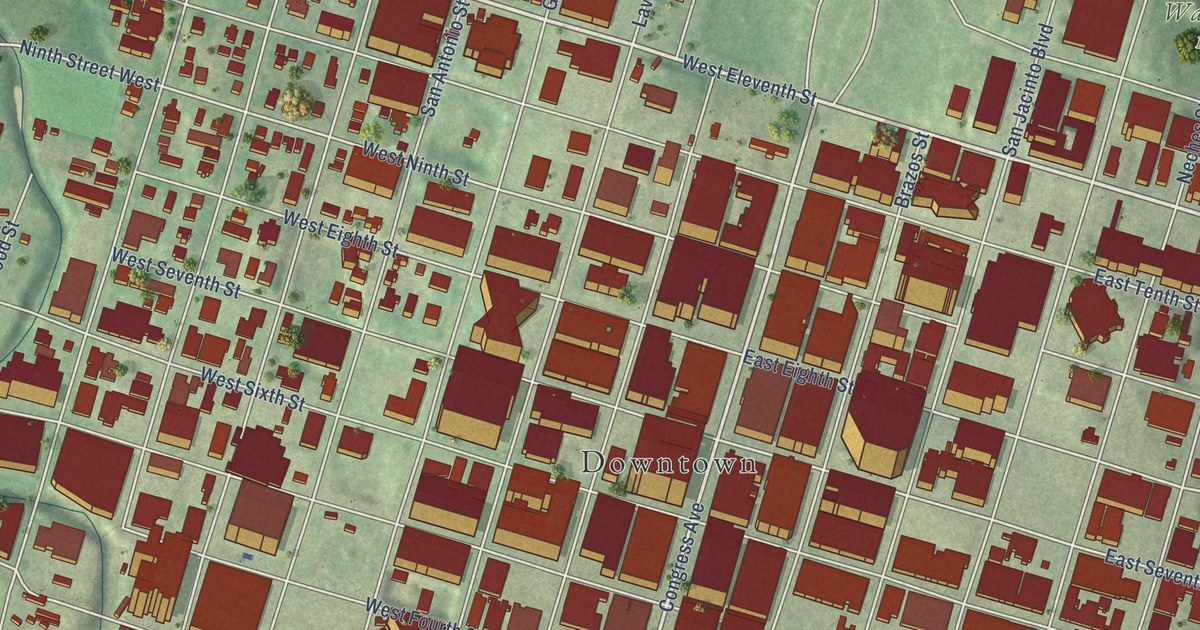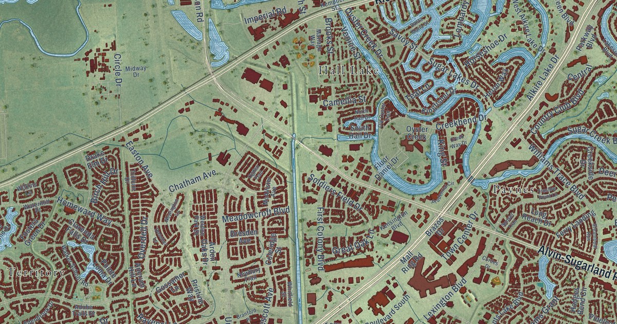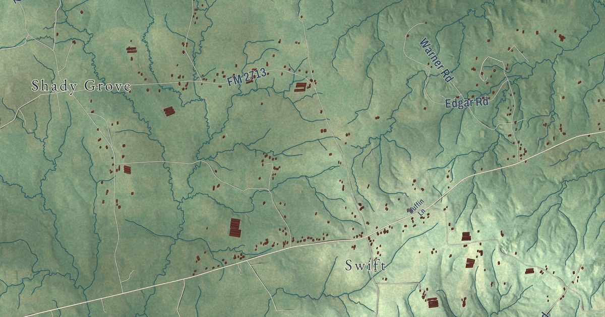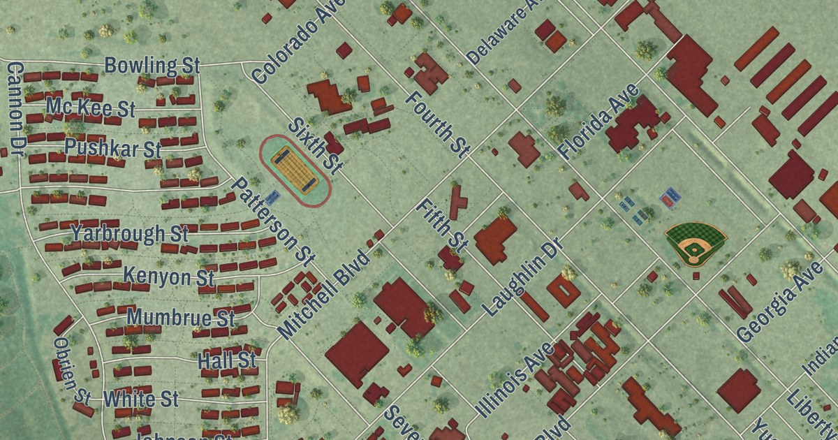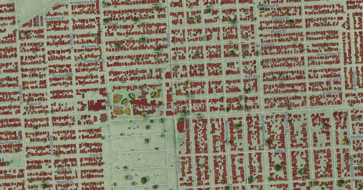
This beautifully detailed map of West University Place, Texas was created in 2026 using aerial imagery combined with modern topographical, census, street and landmark data. It’s a one-of-a-kind view of West University Place that combines accurate data with a vintage aesthetic. The map shows every building in its true location, many of the roads carry their names, and the shaded topographic relief shows the shape of the land.
Explore an aerial view of West University Place, Texas
On the map you’ll find West University City Hall, Southside Place, and Buffalo Speedway, along with Bellaire Boulevard, Bissonnet Street, Rice Boulevard, University Boulevard, Amherst Street, Sunset Boulevard, Kirby Drive, Belmont Street, Westchester Street, and more. If you look closely you can even find your house accurately drawn in its correct location. Zoom in on the preview to look for yours.
Did you know this piece of West University Place, Texas history?
From the Handbook of Texas: "West University Place, an affluent incorporated suburb of metropolitan Houston in southwestern Harris County, reflects the impact of automobiles and paved thoroughfares that facilitated suburban living in the 1920s and the construction of suburban shopping districts, such as the Village, in the 1930s."
Take a closer look at the West University Place map
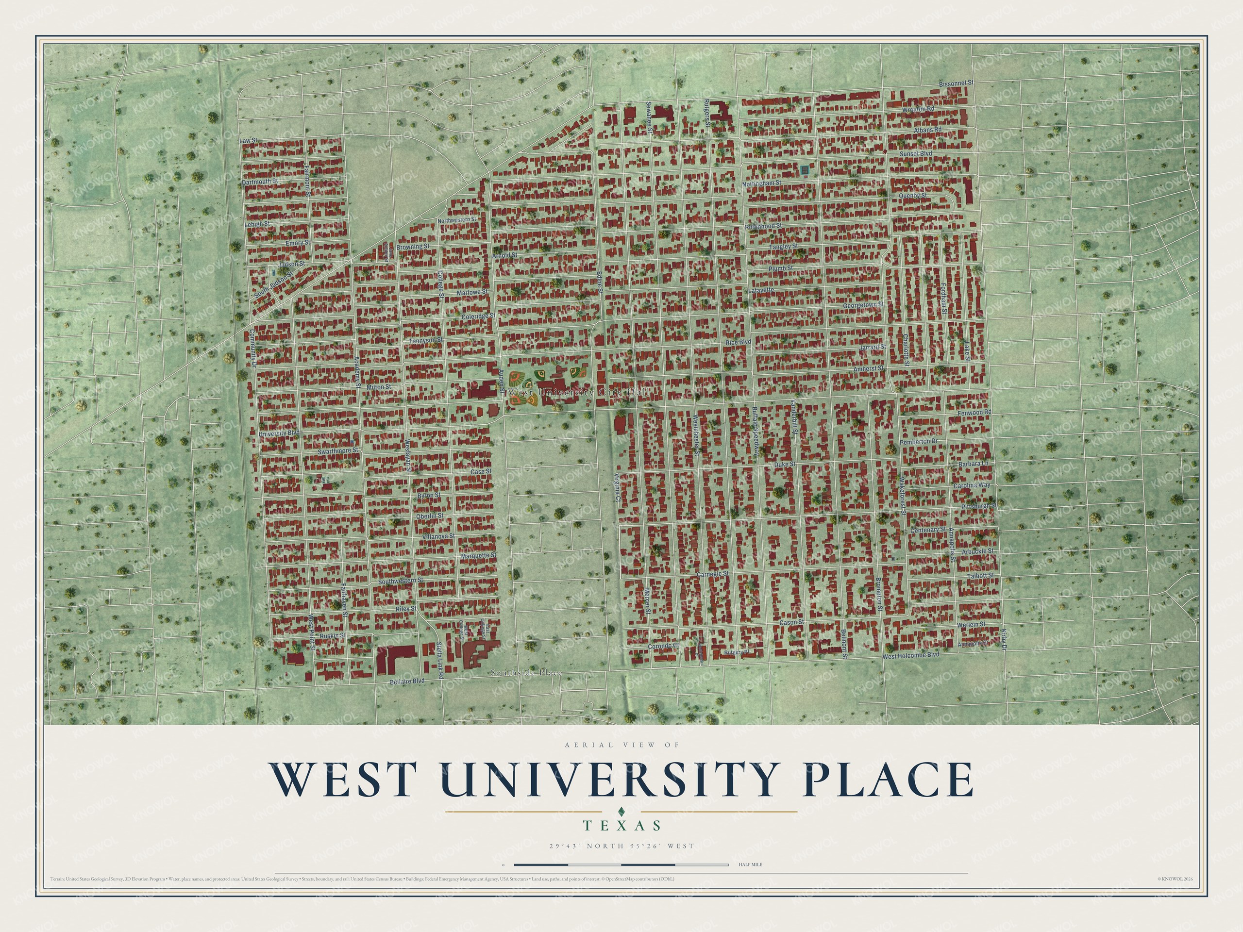
Street and place names on the West University Place, Texas map
These names are printed on the map of West University Place, Texas.
Places: West University City Hall and Southside Place.
Streets and roads: Bellaire Boulevard, Bissonnet Street, Rice Boulevard, University Boulevard, Amherst Street, Sunset Boulevard, Kirby Drive, Belmont Street, Buffalo Speedway, Westchester Street, Sewanee Street, Mercer Street.
More street names, A to Z
Academy Street, Albans Road, Annapolis Court, Annapolis Street, Arbuckle Street, Arnold Street, Auden Street, Barbara Lane, Brompton Street, Browning Street, Byron Street, Carnegie Street, Carolina Way, Case Street, Cason Street, Centenary Street, Charlotte Street, Coleridge Street, College Street, Community Drive, Corondo Court, Dartmouth Street, Duke Street, East College Street, Edloe Street, Emory Street, Fairhaven Street, Fairmont Street, Fenwood Road, Fordham Street, Georgetown Street, Jane Austen Street, Jarrard Street, Judson Street, Lafayette, Lake Street, Law Street, Lehigh Street, Marlowe Street, Marquette Street, Milton Street, Northwestern Street, Nottingham Street, Oberlin Street, Pemberton Drive, Pittsburgh Street, Plumb Street, Quenby Street, Riley Street, Robinhood Street, Ruskin Street, Rutgers Place, Rutgers Street, South Judson Street, Southwestern Street, Stella Link Road, Swarthmore Street, Talbott Street, Tangley Street, Tennyson Street, Vanderbilt Street, Villanova Street, Virginia Court, Wakeforest Street, Werlein Street, Weslayan Street, Westchester Court, West College Street, West Holcombe Boulevard, West Point Street, Wroxton Road.
See the West University Place, Texas map on a wall
The West University Place map as an 18 x 24 inch print in a black frame.

This beautifully detailed map of West University Place makes an attractive addition to your office, library, or den, and it can even be used to teach children the geography and history of the area. It also makes a great gift for anyone who grew up in West University Place or moved away. When you’re done exploring, click here to get your copy of the West University Place map.