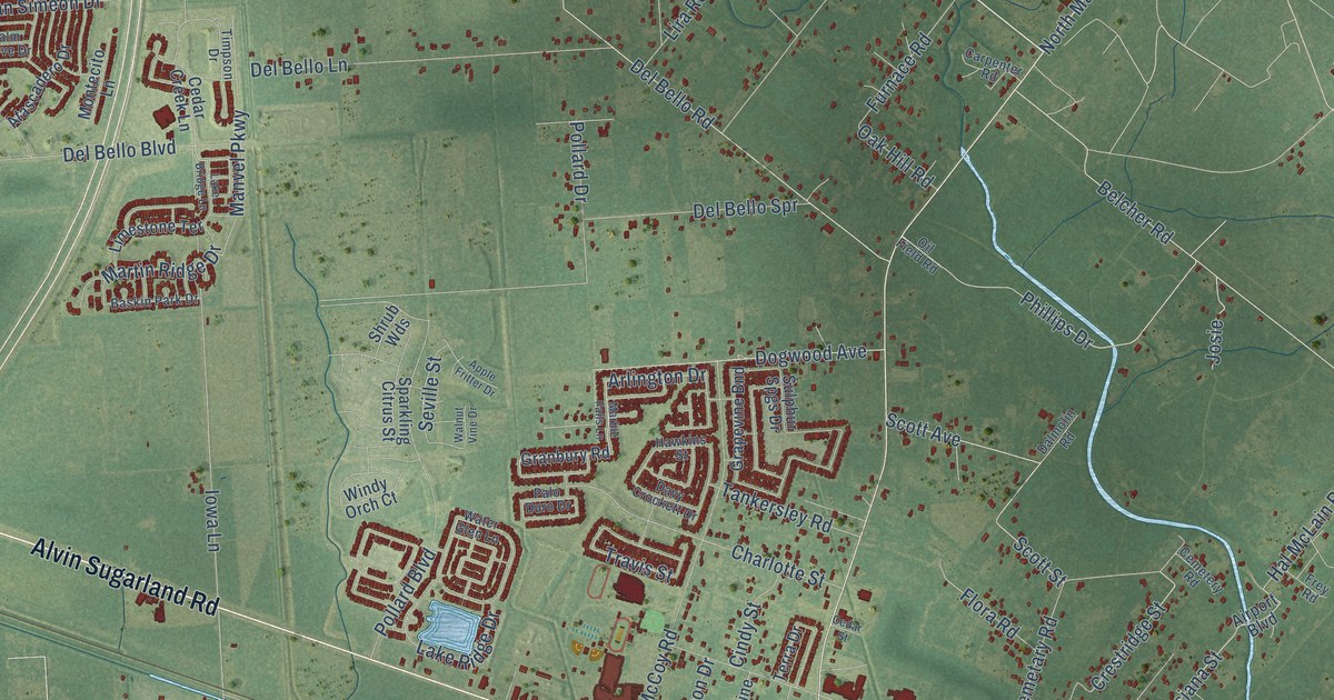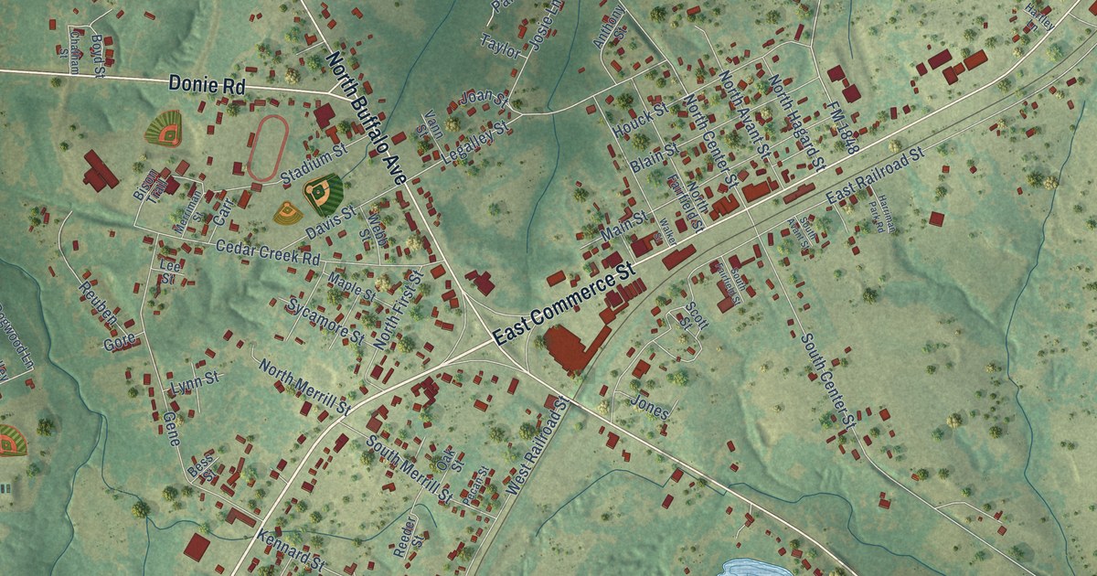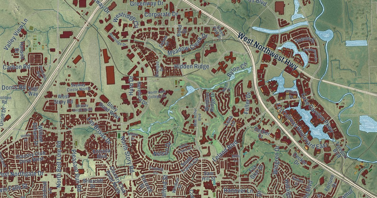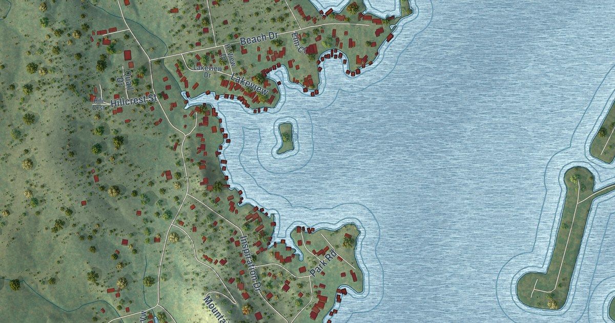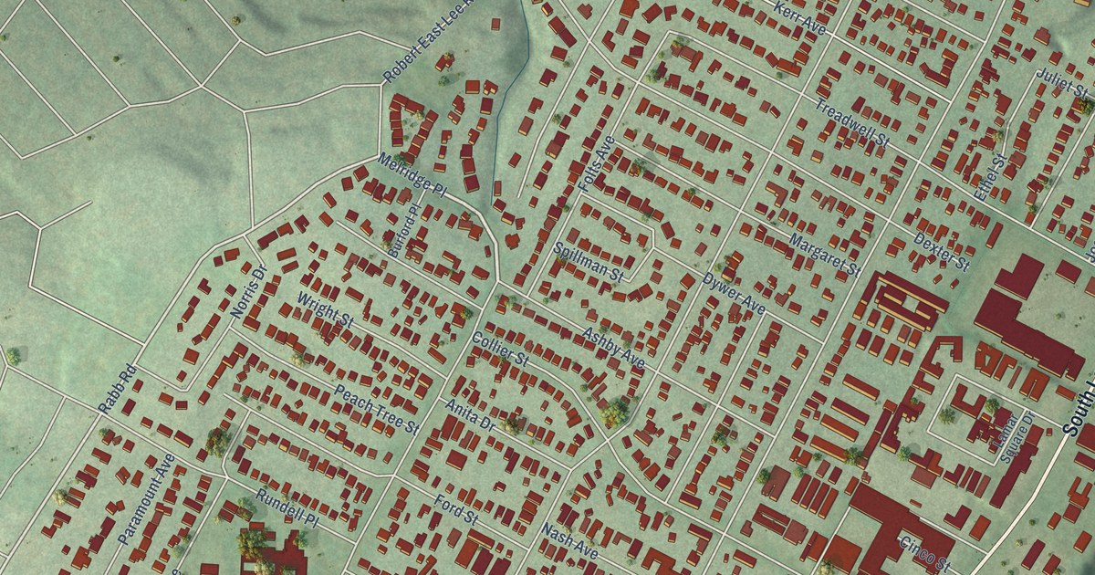
This beautifully detailed map of Zilker, Texas was created in 2026 using aerial imagery combined with modern topographical, census, street and landmark data. It’s a one-of-a-kind view of Zilker that combines accurate data with a vintage aesthetic. The map shows every building in its true location, many of the roads carry their names, and the shaded topographic relief shows the shape of the land.
Explore an aerial view of Zilker, Texas
On the map you’ll find Butler Shores at Town Lake, Preston Field, and Melridge Place, along with South Lamar Boulevard, State Loop 343, Toomey Road, Rabb Road, Kinney Avenue, Bluebonnet Lane, Garner Avenue, Ann Arbor Avenue, Barton Springs Road, and more. If you look closely you can even find your house accurately drawn in its correct location. Zoom in on the preview to look for yours.
Take a closer look at the Zilker map
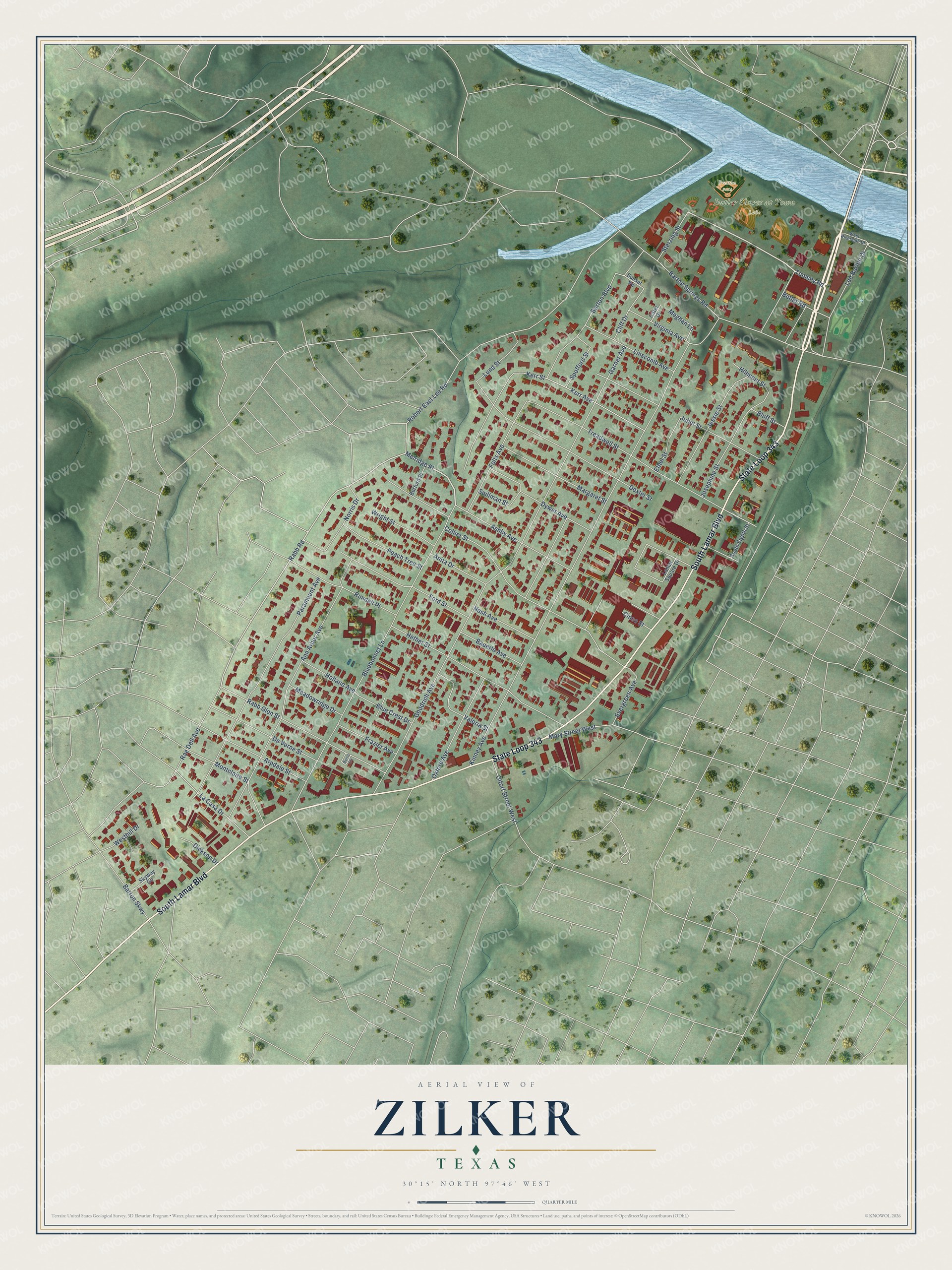
Names on this map
These names are printed on this map.
Places: Butler Shores at Town Lake and Preston Field.
Streets and roads: South Lamar Boulevard, State Loop 343, Melridge Place, Toomey Road, Rabb Road, Kinney Avenue, Bluebonnet Lane, Garner Avenue, Ann Arbor Avenue, Barton Springs Road, Treadwell Street, Paramount Avenue.
More street names, A to Z
Anita Drive, Arpdale Street, Ashby Avenue, Barton Boulevard, Barton Skwy, Bauerle Avenue, Blue Crest Drive, Bluff Street, Burford Place, Burris Circle, Butler Road, Cater Drive, Cinco Street, Cliff Drive, Collier Street, De Verne Street, Dexter Street, Dickson Drive, Dywer Avenue, Ethel Street, Evergreen Avenue, Folts Avenue, Ford Street, Frazier Avenue, Goodrich Avenue, Hether Street, Hillmont Street, Holland Avenue, Jessie Street, Josephine Street, Juliet Street, Kerr Avenue, Kerr Street, La Casa Drive, Lamar Square Drive, Lee Barton Drive, Linscomb Avenue, Lund Street, Margaret Street, Mary Street West, Meadowridge Drive, Meghan Lane, Montclaire Street, Nash Avenue, Norris Drive, Oltorf Street West, Oxford Avenue, Peach Tree Street, Rabb Glen Street, Rae Dell Avenue, Robert East Lee Road, Rundell Place, Skyway Circle, South Eighth Street, Spillman Street, Spofford Street, Sterzing Street, Sunset Vw, Valeria Street, Virginia Avenue, Westhill Drive, West Riverside Drive, Wright Street.
See it on a wall
The Zilker map as a framed print. Swipe for more.


This beautifully detailed map of Zilker makes an attractive addition to your office, library, or den, and it can even be used to teach children the geography and history of the area. It also makes a great gift for anyone who grew up in Zilker or moved away. When you’re done exploring, click here to get your copy of the Zilker map.