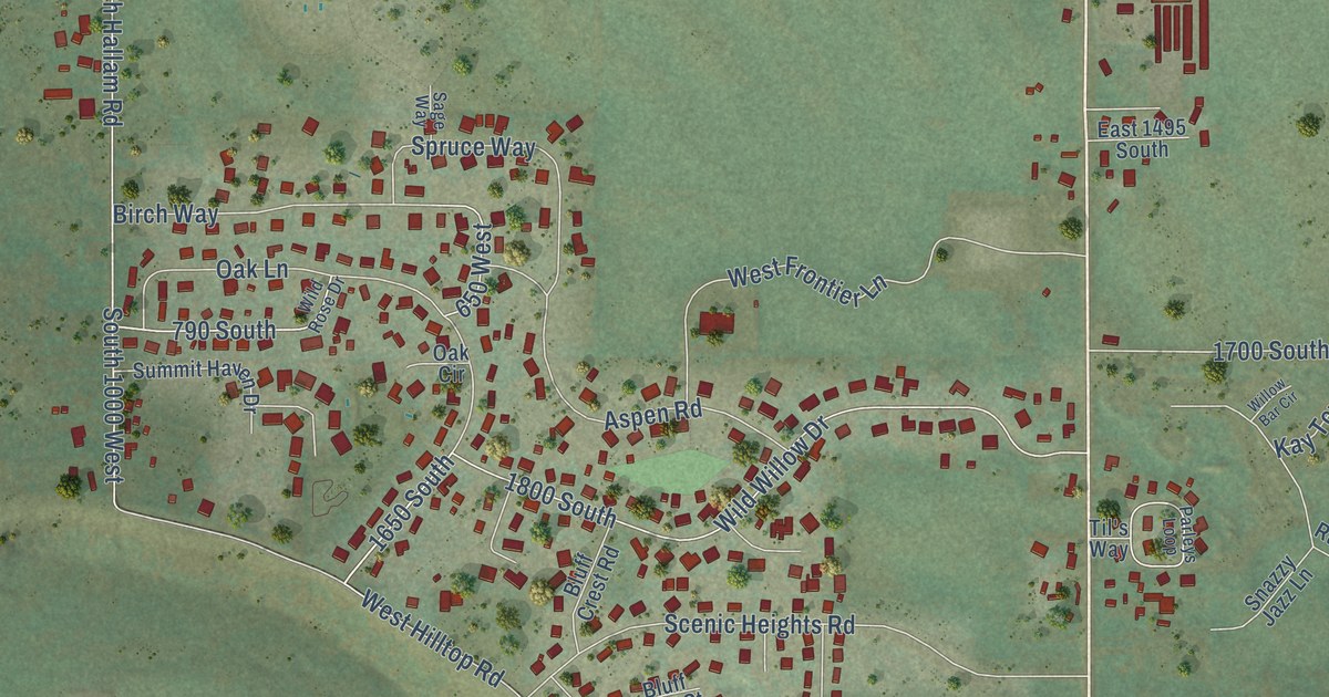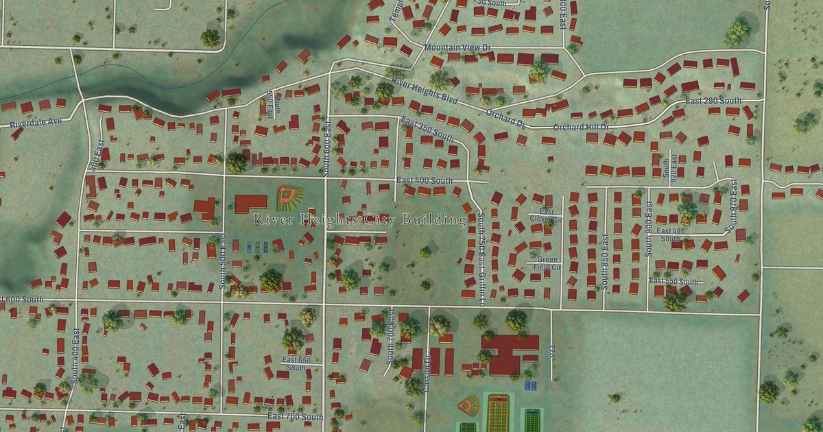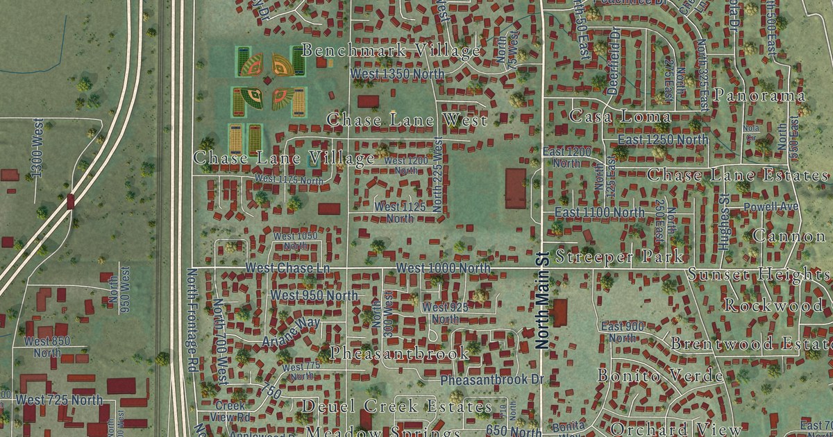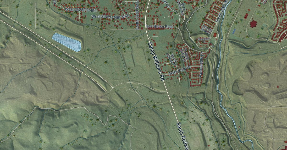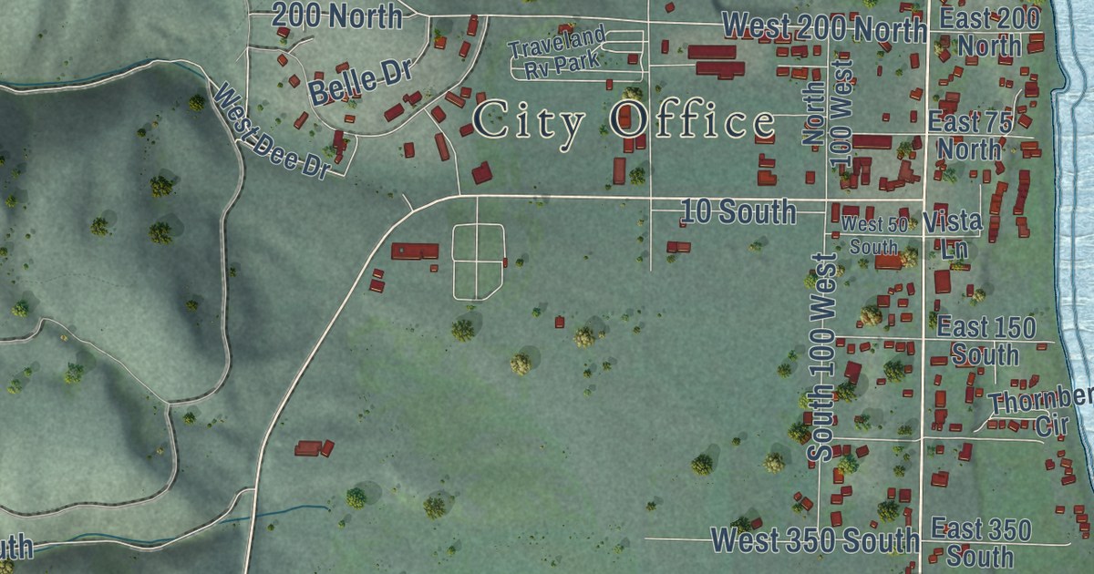
This beautifully detailed map of Garden City, Utah was created in 2026 using aerial imagery combined with modern topographical, census, street and landmark data. It’s a one-of-a-kind view of Garden City that combines accurate data with a vintage aesthetic. The map shows every building in its true location, many of the roads carry their names, and the shaded topographic relief shows the shape of the land.
Explore an aerial view of Garden City, Utah
On the map you’ll find City Office, West 200 North, and Ar34, along with North Bear Lake Boulevard, South Bear Lake Boulevard, Eutaw Road, Lakeview Drive, Hillside Drive, Choke Cherry Drive, Lake Vista Drive, South Mahogany Drive, and more. If you look closely you can even find your house accurately drawn in its correct location. Zoom in on the preview to look for yours.
Did you know this piece of Garden City, Utah history?
From OnlineUtah: "Garden City ( Rich ) is a pleasant community at the junction of US-89 and US-30 on the western shore of Bear Lake. The site was considered a garden spot in the valley."
Take a closer look at the Garden City map
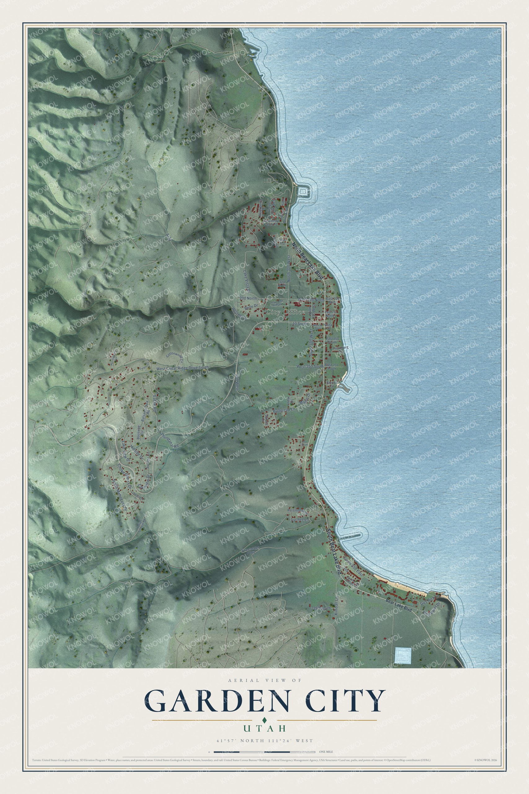
Street and place names on the Garden City, Utah map
These names are printed on the map of Garden City, Utah.
Places: City Office and Traveland Rv Park.
Streets and roads: North Bear Lake Boulevard, South Bear Lake Boulevard, Eutaw Road, Lakeview Drive, West 200 North, Hillside Drive, Lake View Drive, Choke Cherry Drive, Lake Vista Drive, West Cedar Ridge Drive South, Ar34, South Mahogany Drive.
More street names, A to Z
10 South, 200 North, 320 North, 700 West, 950 South, 2263 South, Balsamorhiza Road, Bear Lake Boulevard, Belle Drive, Blackberry Drive, Boosway Circle, Buttercup Lane, Canyon Circle, Cedar Drive, Chokecherry Drive, Cottonwood Circle, East 75 North, East 150 South, East 200 North, East 350 South, Gus Rich Lane, Harbor Drive East, Harbor Drive West, Hodges Canyon Road, Huckleberry Circle, Kimball Lane, Lochwood Vw, Lychee Lane, Maple Drive, North 100 West, North 300 West, Persimmon Drive, Raspberry Patch Road, Shirley Street, Shundahai Road, South 100 West, South 250 East, South Bend, South Lake Cottage Drive, Spruce Drive, Sunrise Circle, Sweetwater Parkway, Thornberg Circle, View Point Drive, Vista Lane, West 50 South, West 350 South, West Dee Drive, Yacht Drive.
See the Garden City, Utah map on a wall
The Garden City map as an 18 x 24 inch print in a black frame.

This beautifully detailed map of Garden City makes an attractive addition to your office, library, or den, and it can even be used to teach children the geography and history of the area. It also makes a great gift for anyone with Garden City roots. When you’re done exploring, click here to get your copy of the Garden City map.