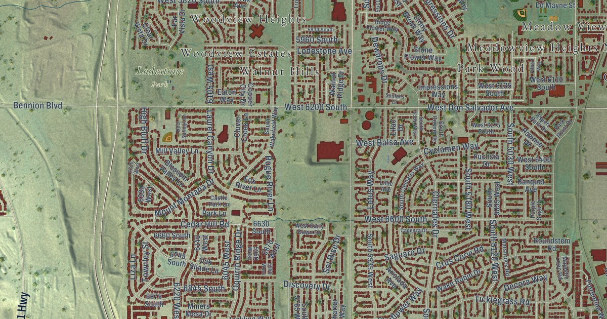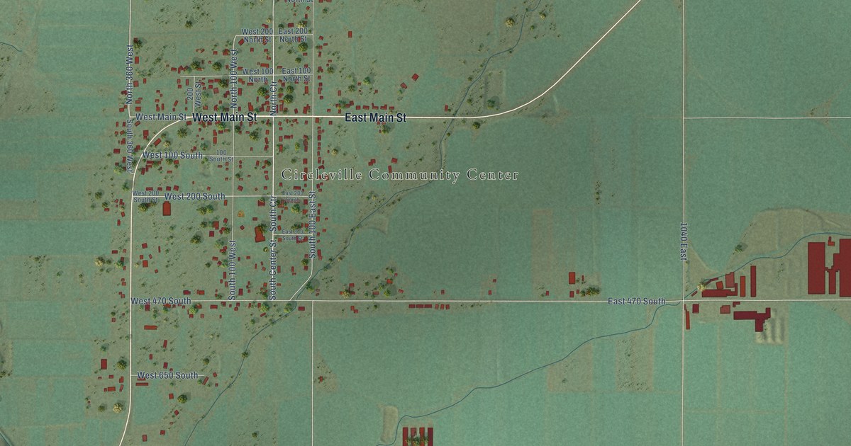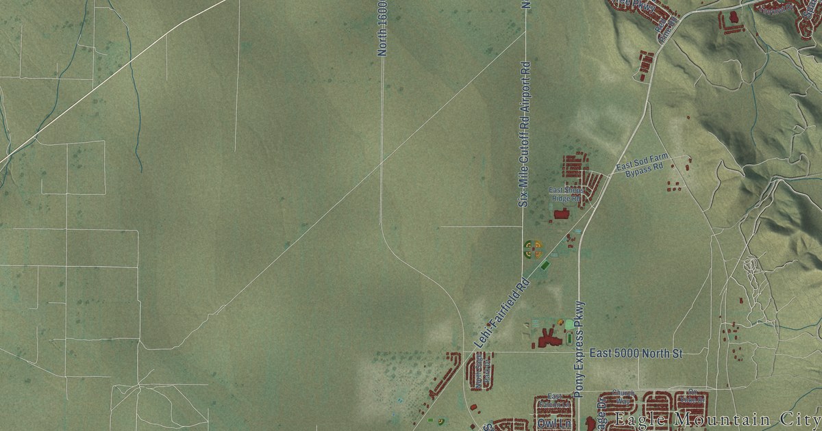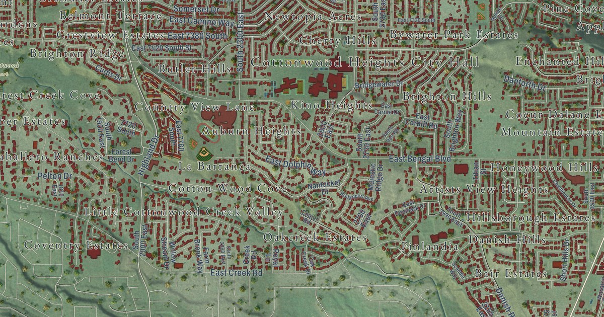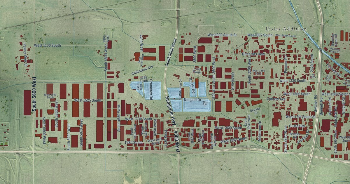
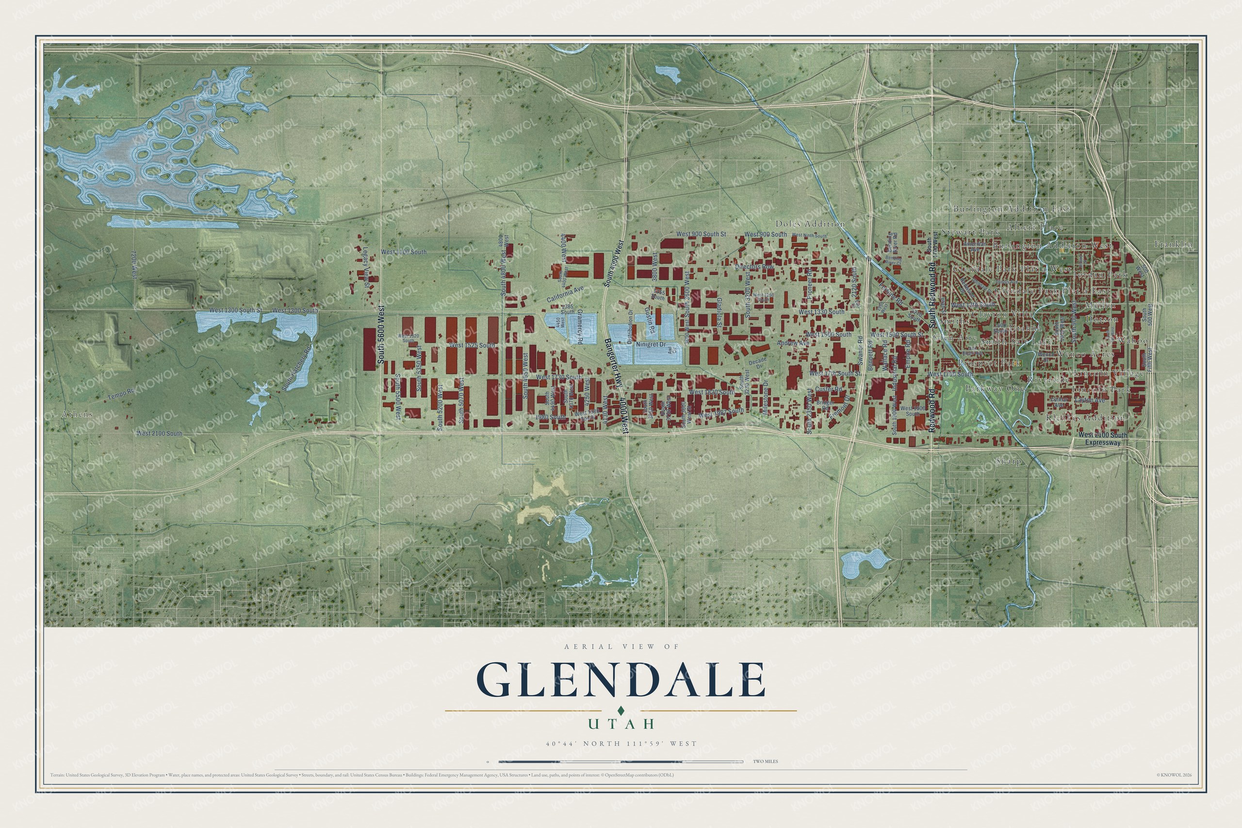
This beautifully detailed map of Glendale, Utah was created in 2026 using aerial imagery combined with modern topographical, census, street and landmark data. It’s a one-of-a-kind view of Glendale that combines accurate data with a vintage aesthetic. The map shows every building in its true location, many of the roads carry their names, and the shaded topographic relief shows the shape of the land.
Explore an aerial view of Glendale, Utah
On the map you’ll find Athens, Franklin, Sharp, Doles Addition, Glendale Park Plat a East, Riverside, Albert Place, Glendale Park Plat a West, Prospect Park, Wahoo, Klenkes Addition, Utahna, and more. If you look closely you can even find your house accurately drawn in its correct location. Zoom in on the preview to look for yours.
Did You Know?
From Internet Archive: "One of the early settlers was a man named Maxfield, who established a ranch on Short Creek, a small tributary of the Virgin River, not far from the present village of Glendale."
Glendale is a place in Salt Lake County.
Take a closer look at the Glendale map
Names on this map
These names are printed on this map.
Places: Athens, Franklin, Sharp, Doles Addition, Glendale Park Plat a East, Riverside, Albert Place, Glendale Park Plat a West, Prospect Park, Wahoo, Klenkes Addition, Utahna, Burlington Addition West, Stewart Park, Parkway One, Mellen, Wenco Acres, Lincoln Park, Jordan Park, Clayton Villa, Burlington Addition East, Dotson, Glen Aire, Lincoln Village, Smiths and Smith Salt Lake.
Streets and roads: Bangerter Highway, 4000 West, Redwood Road, South Redwood Road, South 5600 West, West 2100 South, South 900 West, West 900 South, West 900 South Street, West 1300 South Street, West 13th South, West 17th South Street.
More street names, A to Z
500 West, 1255 South, 1270 South, 1385 South, 1400 South, 1950 West, 1980 South, 2120 South, 3600 West, 3800 West, 4130 West, 4250 West, 4400 West, 4450 West, 4800 West, 7200 West, American Avenue, Andrew Avenue, Awl Circle, Bending River Court, Bending River Road, Bennett Road, Bridger Road, California Avenue, Colmar Avenue, Custer Road, Decade Drive, Directors Row, Distribution Drive, Earl Drive, Empire Road, Fortune Road, Fremont Drive, Gladiola Street, Glendale Drive, Gramercy Road, Gustin Road, Illinois Avenue, Industrial Road, Jeremy Street, Layton Avenue, Legacy View Street, Milestone Drive, Ninigret Drive, Pioneer Road, Redwood Drive, South 500 West, South 700 West, South 1000 West, South 1700 West, South 1900 West, South 2350 West, South 3200 West, South 3230 West, South 3600 West, South 3600 West Street, South 3730 West, South 3850 West, South 4000 West, South 4370 West, South 4400 West, South 4490 West, South 4650 West, South 4800 West, South 5070 West, South 5200 West, South 5350 West, South 5500 West, South Fifth West, South Hatchery Road, Swaner Road, Tempo Road, Utah Street, Van Buren Avenue, Wallace Road, Wenco Drive, West 1100 South, West 1250 South, West 1300 South, West 1330 South, West 1500 South, West 1500 South Street, West 1520 South, West 1525 South, West 1700 South, West 1730 South, West 1820 South, West 1900 South, West 1980 South, West 1987 South, West 2100 South Expressway, West Ninth South.
See it on a wall
The Glendale, Salt Lake City map as a framed print. Swipe for more.


This beautifully detailed map of Glendale, Salt Lake City makes an attractive addition to your office, library, or den, and it can even be used to teach children the geography and history of the area. It also makes a great gift for anyone with Glendale roots. When you’re done exploring, click here to get your copy of the Glendale, Salt Lake City map.