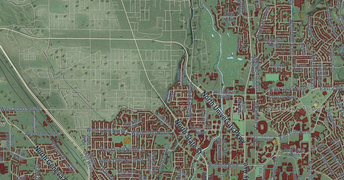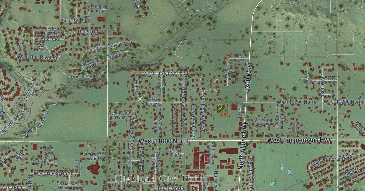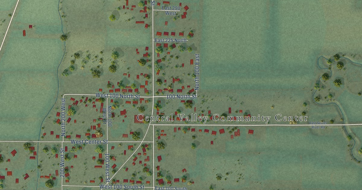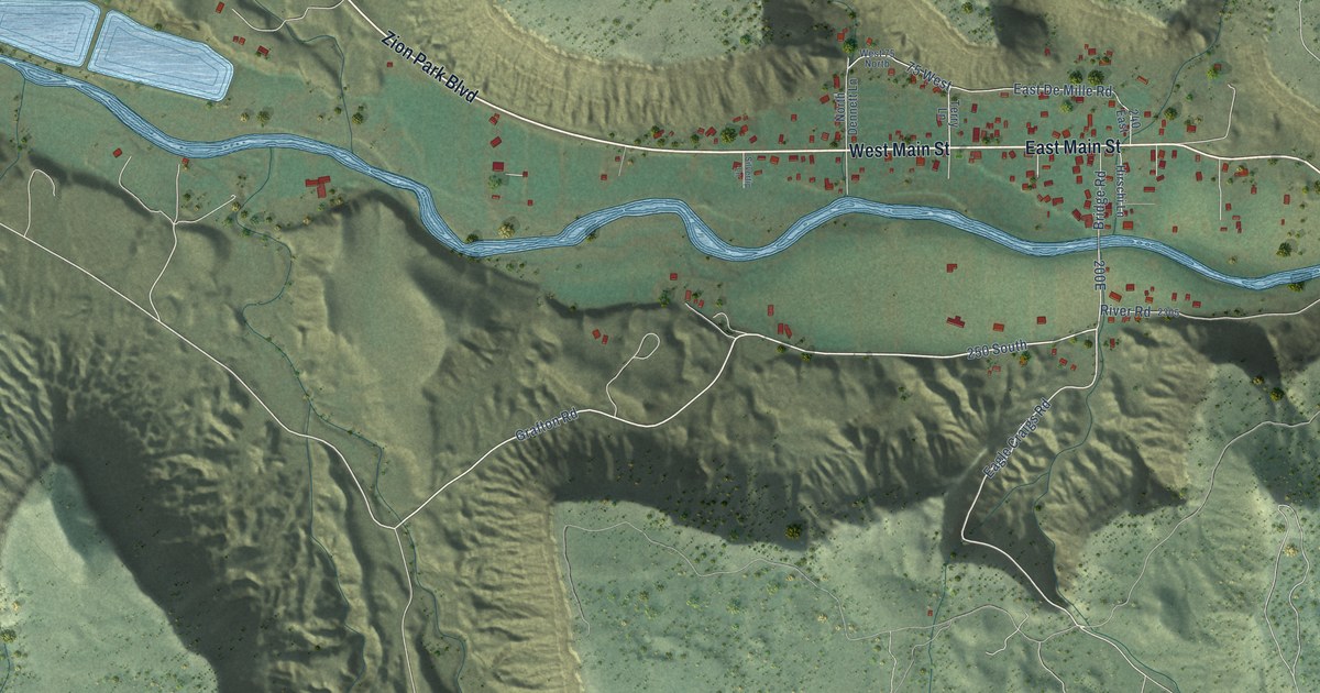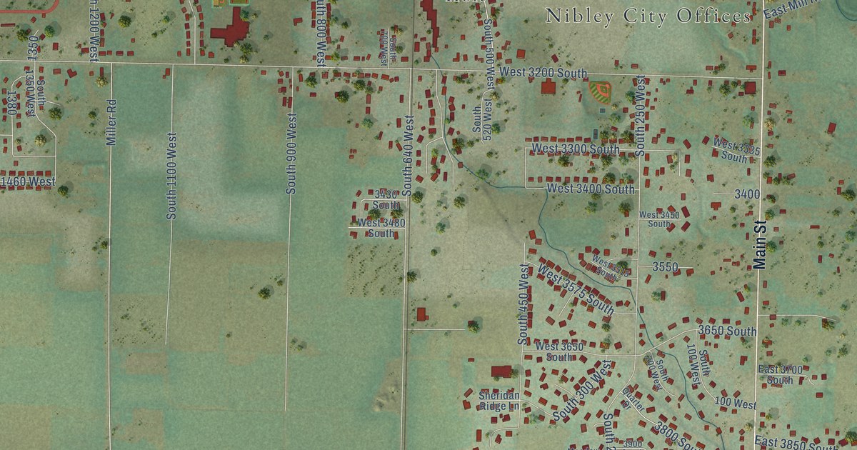
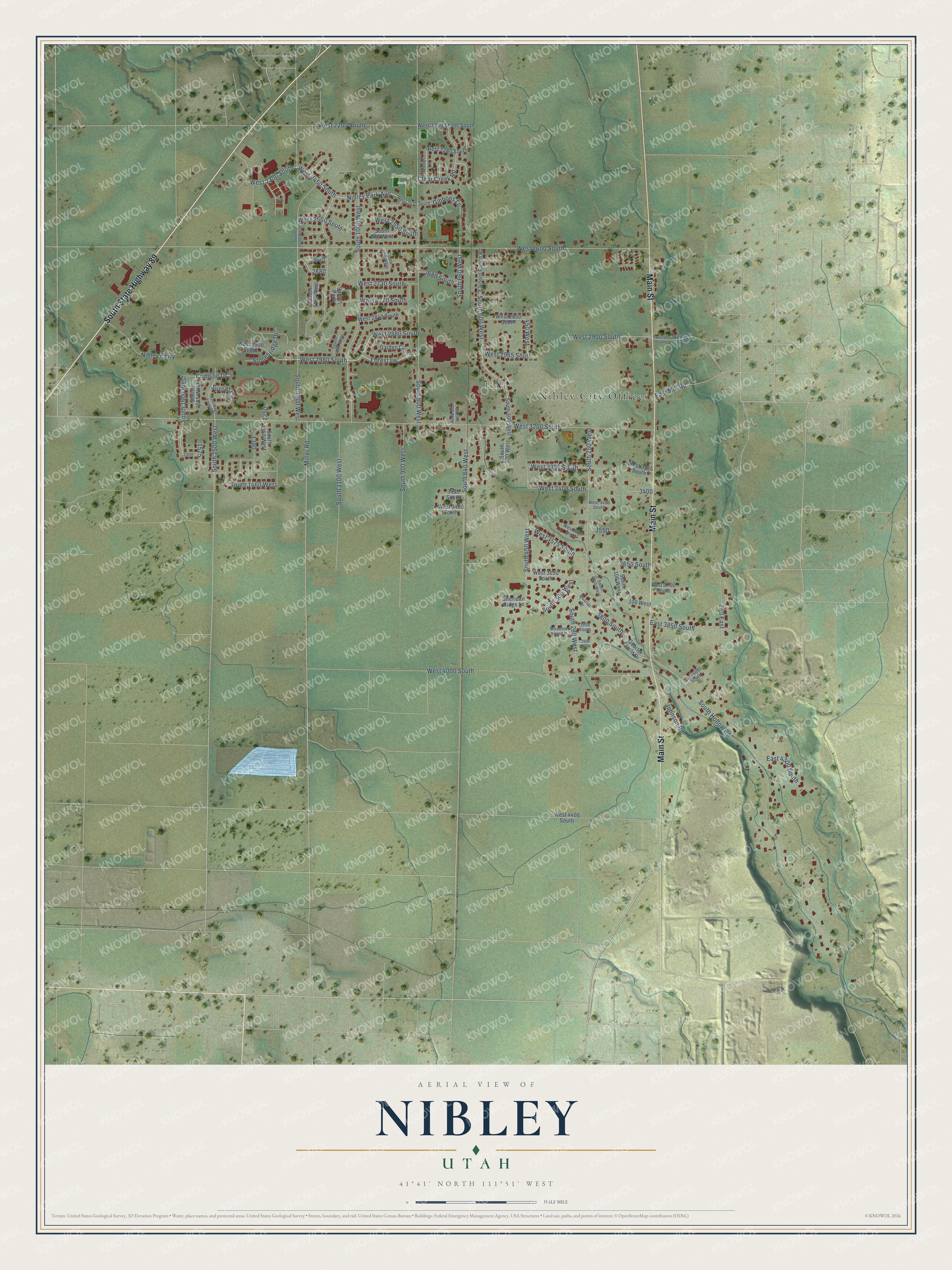
This beautifully detailed map of Nibley, Utah was created in 2026 using aerial imagery combined with modern topographical, census, street and landmark data. It's a modern aerial view of Nibley in Cache County, Utah, that combines modern data with a vintage aesthetic. The roads feature printed names, and if you look closely you can find your exact house accurately shown in its correct location.
Explore an aerial view of Nibley, Utah
On this map you'll find Nibley City Offices, Holt, Firefly Park, Heritage Park, Main Street, South State Highway 89, West 2450 South, Nibley Park Avenue, West 2350 South, West 2980 South, Forest Lane, West 2880 South, and more. Each red shape is a building, so zoom in on the preview and look for yours.
Nibley has a story worth telling. The Nibley City puts it this way: "The community continued to grow, and in 1920, the Millville Ward was divided, forming the Nibley Ward, named after Charles W. Nibley."
Nibley is a city in Cache County. The Census Bureau counted 7,328 people here in 2020.
Take a closer look at the Nibley map
Names on this map
These names are printed on this map.
Places: Nibley City Offices, Holt, Firefly Park, Heritage Park and Sunset Park.
Streets and roads: Main Street, South State Highway 89, West 2450 South, Nibley Park Avenue, West 2350 South, West 2980 South, Forest Lane, West 2880 South, South 1600 West, Clear Creek Road, South 600 West, West 3200 South.
More street names, A to Z
100 West, 250 East, 450 West, 2680 South, 3430 South, 3650 South, 3800 South, 3900 South, 3940 South, Antler Lane, Crimson Drive, East 2900 South, East 3700 South, East 3850 South, East 4030 South, East 4300 South, East Mill Road, Elkhorn Ranch Road, Garden Circle, Gibbons Lane, Johnson Road, Meadow View Lane, Miller Road, Nibley Parkway, Quarter Circle Drive, Quarter Drive, Sheridan Ridge Lane, South 100 West, South 200 West, South 250 West, South 280 West, South 300 West, South 450 West, South 500 West, South 520 West, South 640 West, South 660 West, South 700 West, South 800 West, South 860 West, South 900 West, South 950 West, South 1000 West, South 1080 West, South 1100 West, South 1130 West, South 1150 West, South 1200 West, South 1350 West, South 1460 West, South 1500 West, South 1565 West, South Hollow Road, Stonebridge Drive, Sunset Circle, West 100 South, West 2200 South, West 2200 Street South, West 2280 South, West 2475 South, West 2500 South, West 2550 South, West 2600 South, West 2730 South, West 2770 South, West 2840 South, West 2850 South, West 2900 South, West 2930 South, West 2965 South, West 3300 South, West 3335 South, West 3400 South, West 3450 South, West 3480 South, West 3515 South, West 3575 South, West 3650 South, West 4000 South, West 4400 South, West Maple Valley Road.
Created by KNOWOL in 2026. The buildings are small red shapes, the roads carry their printed names, and shaded relief shows the shape of the land. The title panel reads "AERIAL VIEW OF NIBLEY UTAH" with 41°41' NORTH 111°51' WEST.
It looks right in a kitchen, an office or a den, and it's a gift for anyone who grew up in Nibley or moved away. Open the preview and find your street. See sizes and frames for the Nibley map.