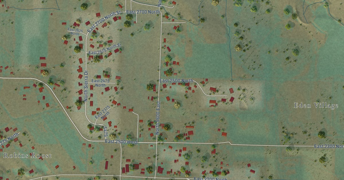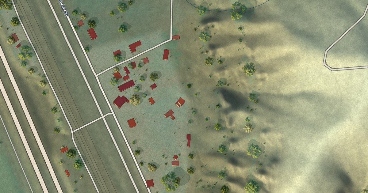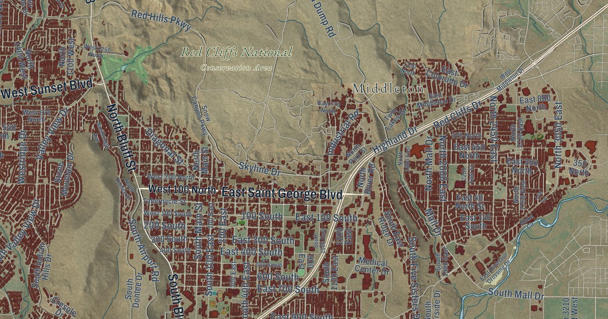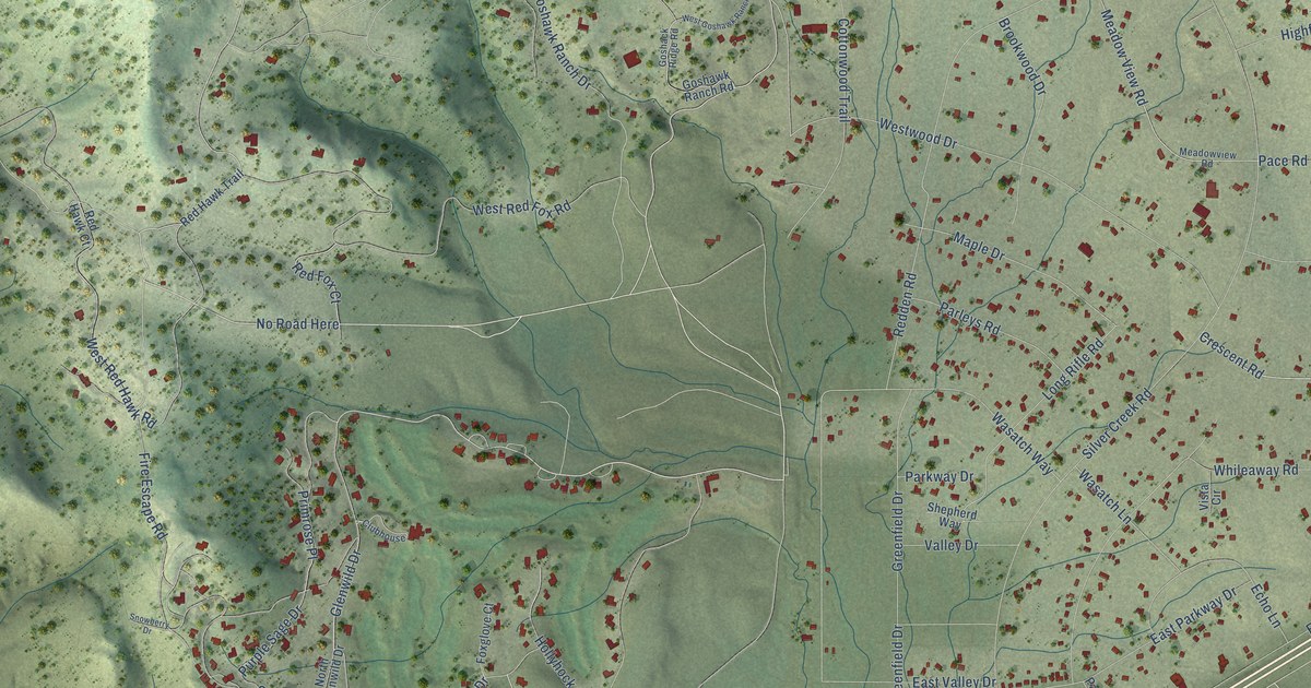
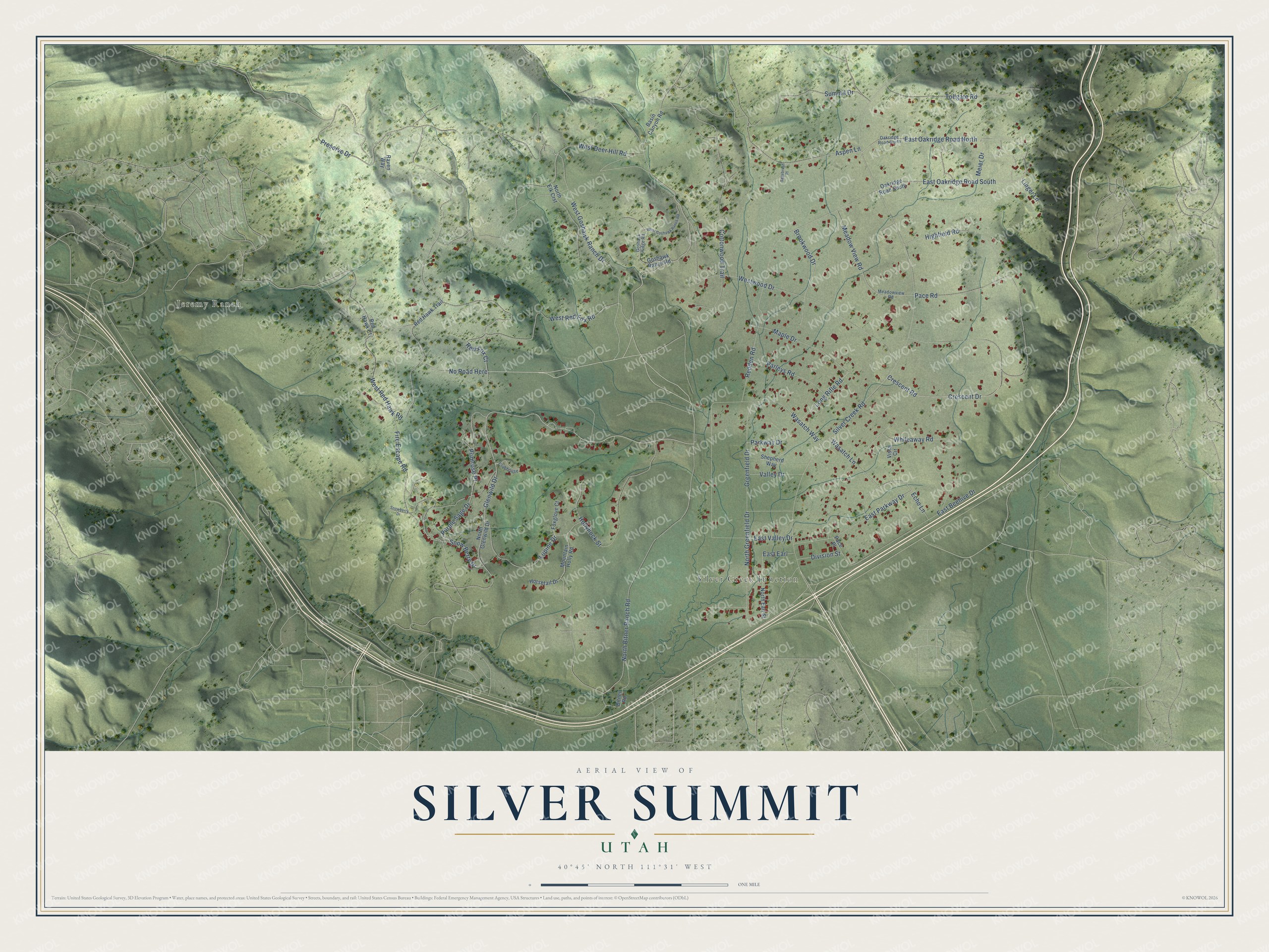
This beautifully detailed map of Silver Summit, Utah was created in 2026 using aerial imagery combined with modern topographical, census, street and landmark data. It's a modern aerial view of Silver Summit in Summit County, Utah, that combines modern data with a vintage aesthetic. The roads feature printed names, and if you look closely you can find your exact house accurately shown in its correct location.
Explore an aerial view of Silver Summit, Utah
On this map you'll find Jeremy Ranch, Silver Creek Junction, No Road Here, Glenwild Drive, Silver Creek Road, Lupine Drive, Cottonwood Trail, Red Fox Court, East Oakridge Road South, Long Rifle Road, Redden Road, Wasatch Lane, and more. Each red shape is a building, so zoom in on the preview and look for yours.
Here is a piece of Silver Summit history. The Kimball Hotel, built of sandstone in 1862 by William H. Kimball, son of Heber C. Kimball, is the oldest historic structure in Summit County. When Interstate 80 was being planned in 1960, engineers were persuaded to route the freeway around the back of the old hotel to preserve it. In the winters of the 1890s the Kimball brothers dammed the nearby creek and cut blocks of ice. They stored the ice in sawdust for Salt Lake City and called it the Park City Ice Company. That's from the Summit County Utah historic sites page.
Silver Summit is a community in Summit County. The Census Bureau counted 1,694 people here in 2020.
Take a closer look at the Silver Summit map
Names on this map
These names are printed on this map.
Places: Jeremy Ranch and Silver Creek Junction.
Streets and roads: No Road Here, Glenwild Drive, Silver Creek Road, Lupine Drive, Cottonwood Trail, Red Fox Court, East Oakridge Road South, Long Rifle Road, Redden Road, Wasatch Lane, Maple Drive, West Red Hawk Road.
More street names, A to Z
Aspen Lane, Basin Canyon Road, Bitner Road, Brookwood Drive, Clubhouse, Crescent Drive, Crescent Road, Division Street, East Beehive Drive, East Earl, East Oakridge Road North, East Parkway Drive, East Valley Drive, Echo Lane, Fire Escape Road, Foxglove Court, Goshack Ridge Road, Goshawk Ranch Road, Greenfield Drive, Highfield Road, Hollyhock Street, Horsetail Drive, Linger Lane, Meadow View Road, Meadowview Road, Meier Drive, Mountain Holly Road, North Bitner Ranch Road, North Earl Street, North Elk Crst, North Glenwild Drive, North Greenfield Drive, Oakridge Road North, Oakridge Road South, Pace Place, Pace Road, Parkway Drive, Parleys Road, Preserve Drive, Primrose Place, Purple Sage Drive, Raven Way, Red Hawk Court, Red Hawk Trail, Sagebrush Place, Shepherd Way, Snow Berry Drive, Snowberry Drive, Summit Drive, Tollgate Road, Valley Drive, Vista Circle, Wasatch Way, West Deer Hill Road, West Goshawk Ranch Drive, West Goshawk Ranch Road, West Red Fox Road, Westwood Drive, Whileaway Road.
See it on a wall
The Silver Summit map as a framed print. Swipe for more.


Created by KNOWOL in 2026. The buildings are small red shapes, the roads carry their printed names, and shaded relief shows the shape of the land. The title panel reads "AERIAL VIEW OF SILVER SUMMIT, UTAH" with 40°45' NORTH 111°31' WEST.
It suits a den, a classroom or a front hall, and it makes a gift for anyone with Silver Summit roots. Open the preview and find the block you know. See sizes and frames for the Silver Summit map.