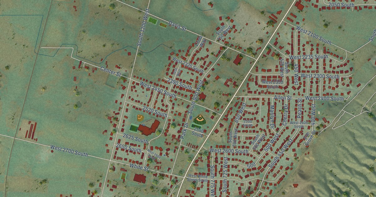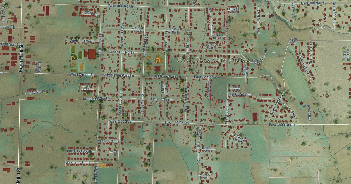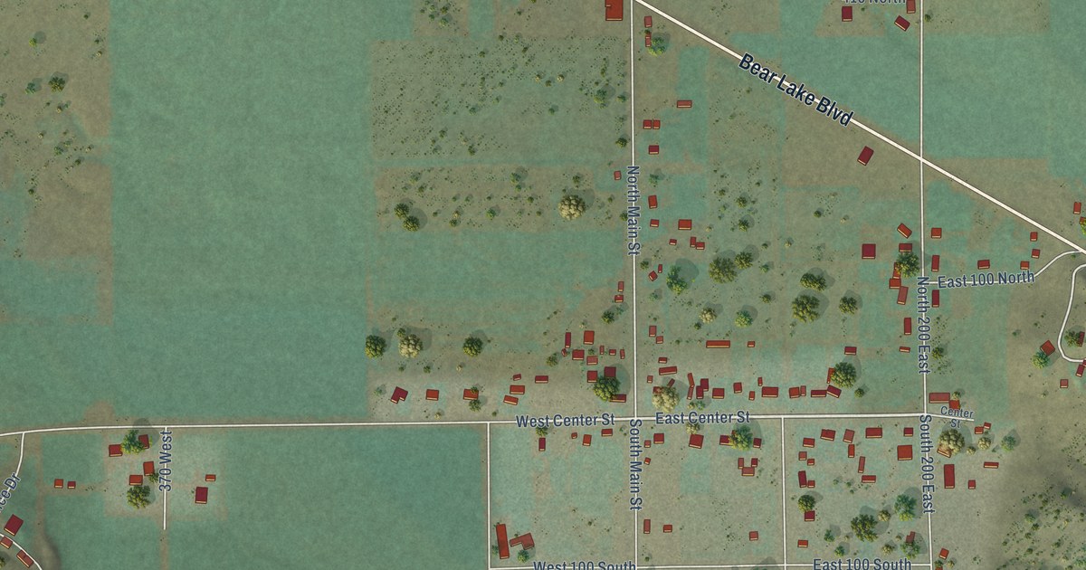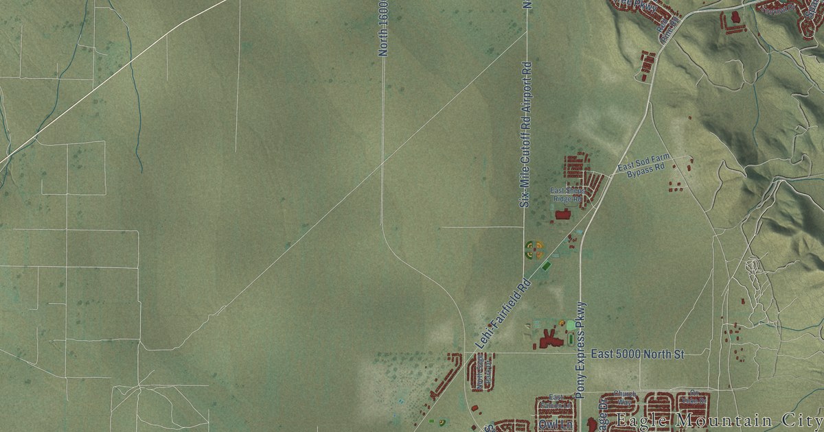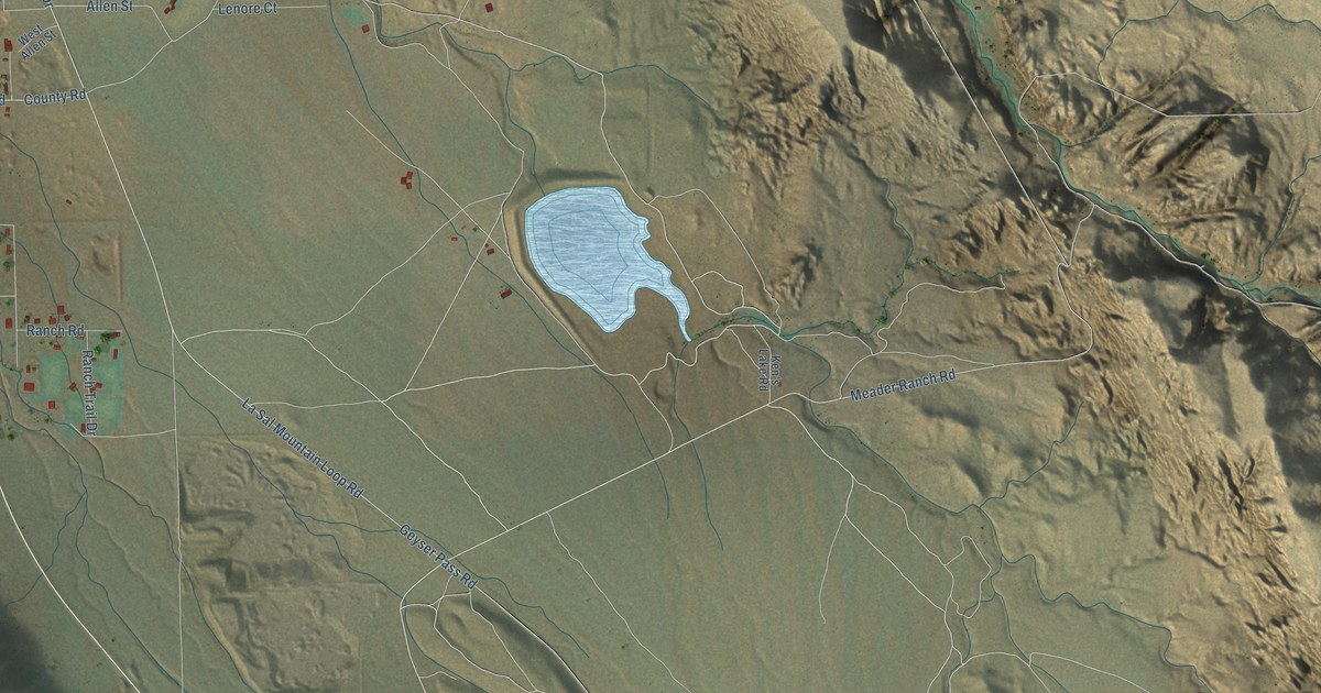
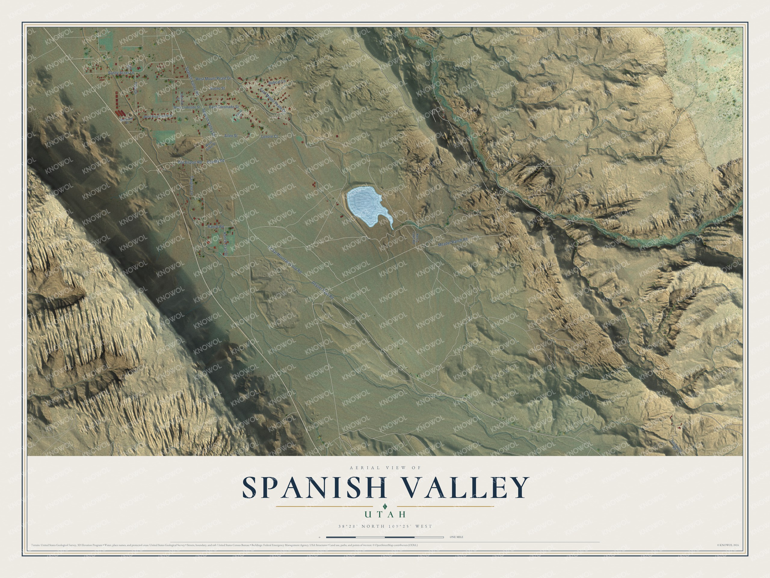
This beautifully detailed map of Spanish Valley, Utah was created in 2026 using aerial imagery combined with modern topographical, census, street and landmark data. It's a modern aerial view of Spanish Valley in San Juan County, Utah, that combines modern data with a vintage aesthetic. The roads feature printed names, and if you look closely you can find your exact house accurately shown in its correct location.
Explore an aerial view of Spanish Valley, Utah
On this map you'll find Meader Ranch Road, Spanish Valley Drive, Spanish Valley Road, Sunny Acres Lane, La Sal Mountain Loop Road, Geyser Pass Road, Old Airport Road, Tangren Lane, West Mount Peale Drive, County Road, Allen Street, East Coronado Street, and more. Each red shape is a building, so zoom in on the preview and look for yours.
Here is a piece of Spanish Valley history. Ken's Lake was first planned as Plainfield Dam, to help control floods through Moab from Mill Creek. Built from 1979 to 1981 and named for K. E. McDougald, it also waters farmland in Spanish Valley and gives locals and visitors a place for recreation. Its water comes through the Sheeley Tunnel, named for Horace Sheeley. His tunnel project was abandoned about halfway through and was finished when Ken's Lake was built. That's from the Grand Water and Sewer Service Agency.
Spanish Valley is a community in San Juan County. The Census Bureau counted 529 people here in 2020.
Take a closer look at the Spanish Valley map
Names on this map
These names are printed on this map.
Streets and roads: Meader Ranch Road, Spanish Valley Drive, Spanish Valley Road, Sunny Acres Lane, La Sal Mountain Loop Road, Geyser Pass Road, Old Airport Road, Tangren Lane, West Mount Peale Drive, County Road, Allen Street, East Coronado Street.
More street names, A to Z
Bobcat Lane, Cabrillo Street, East Mount Peale Drive, Hardgrave Road, Ken's Lake Road, Lenore Court, Luna Circle, Merriam Court, Ranch Road, Ranch Trail Drive, Sueno Street, Tera Drive, Velcar Court, West Allen Street, West Coronado Street, West Rio Grande Drive.
See it on a wall
The Spanish Valley map as a framed print. Swipe for more.


Created by KNOWOL in 2026. The buildings are small red shapes, the roads carry their printed names, and shaded relief shows the shape of the land. The title panel reads "AERIAL VIEW OF SPANISH VALLEY, UTAH" with 38°28' NORTH 109°25' WEST.
It suits a den, a classroom or a front hall, and it makes a gift for anyone with Spanish Valley roots. Open the preview and find the block you know. See sizes and frames for the Spanish Valley map.