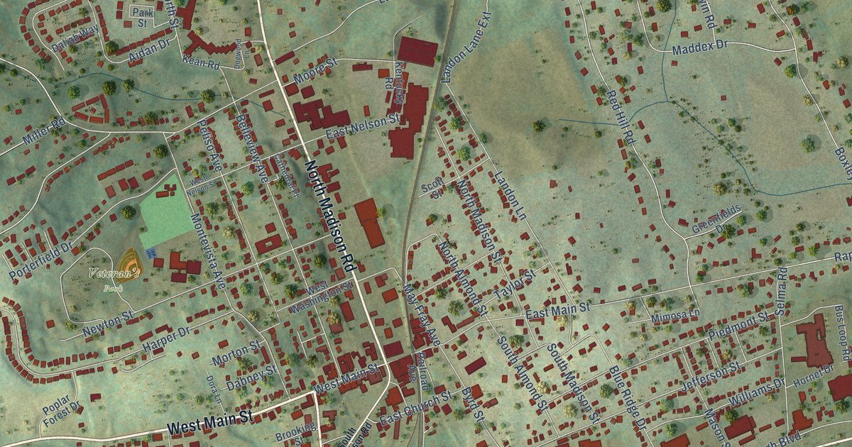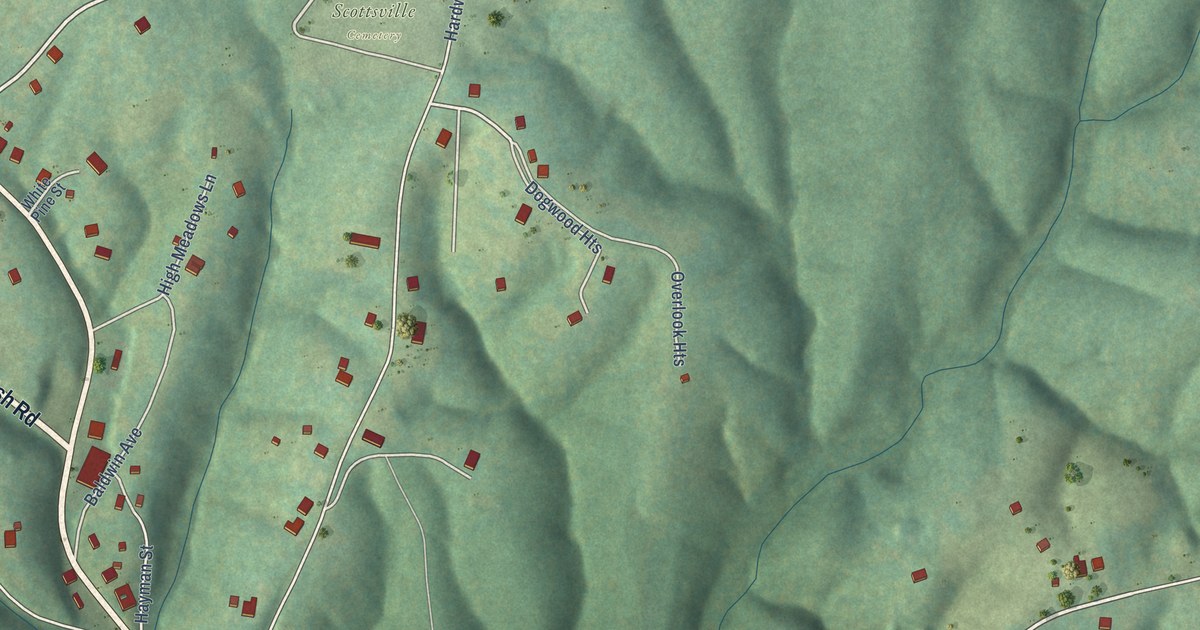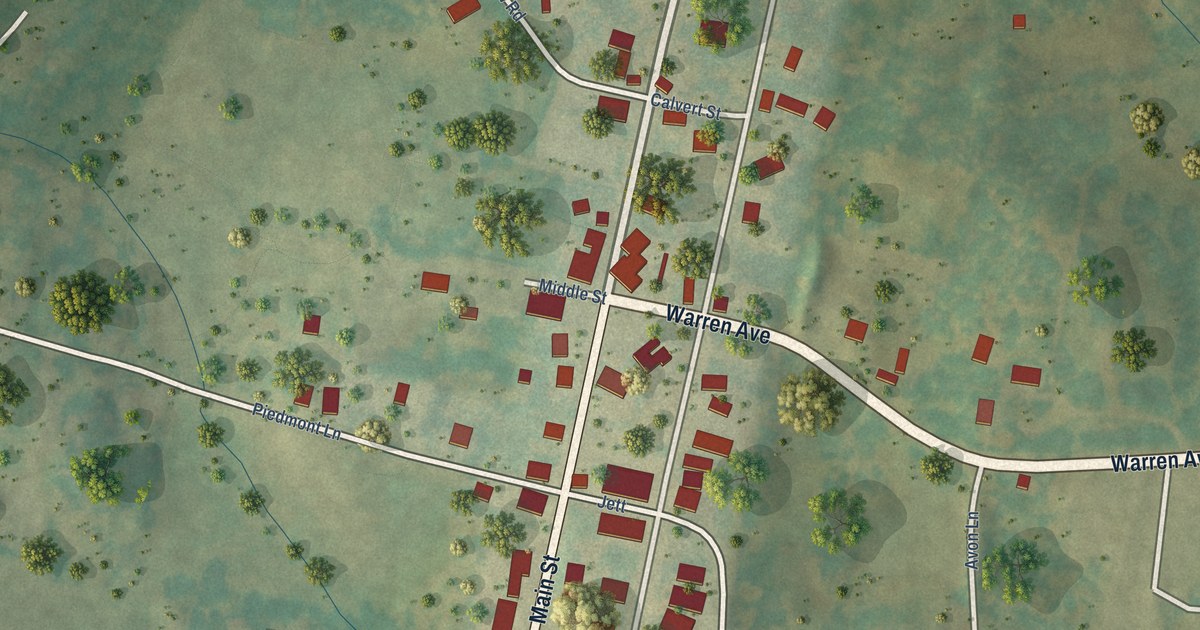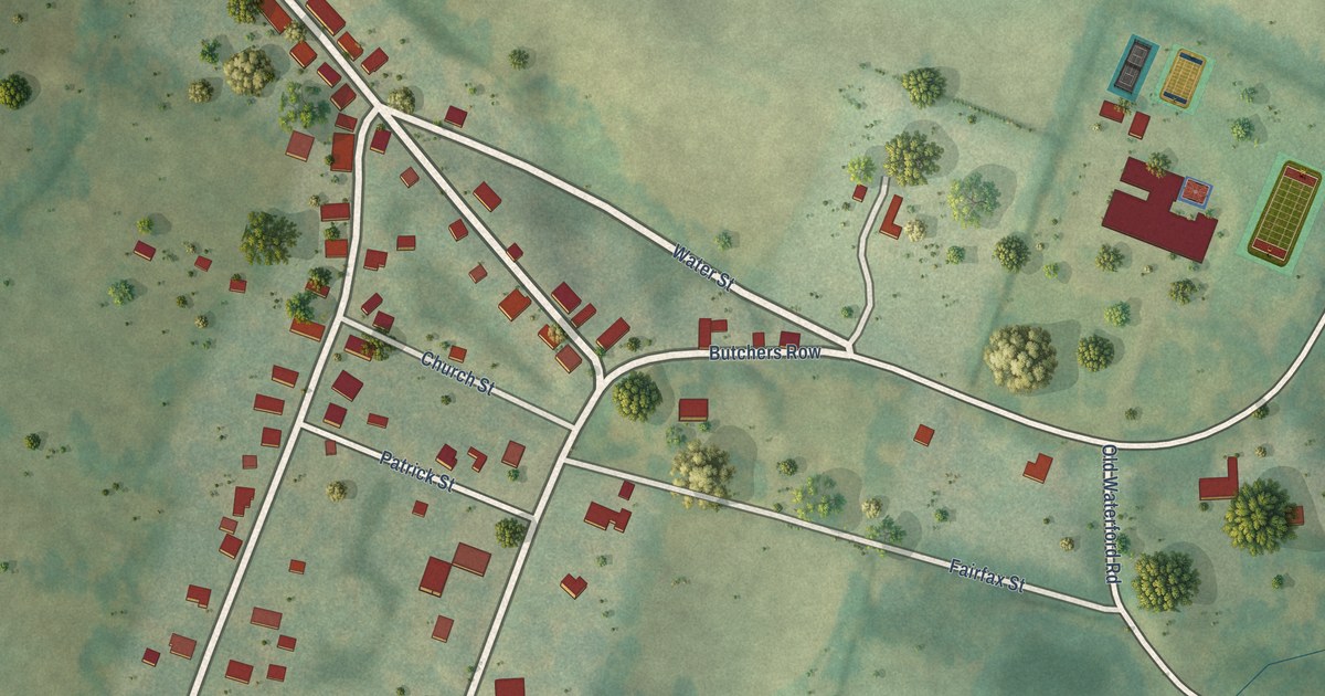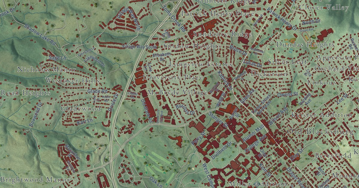
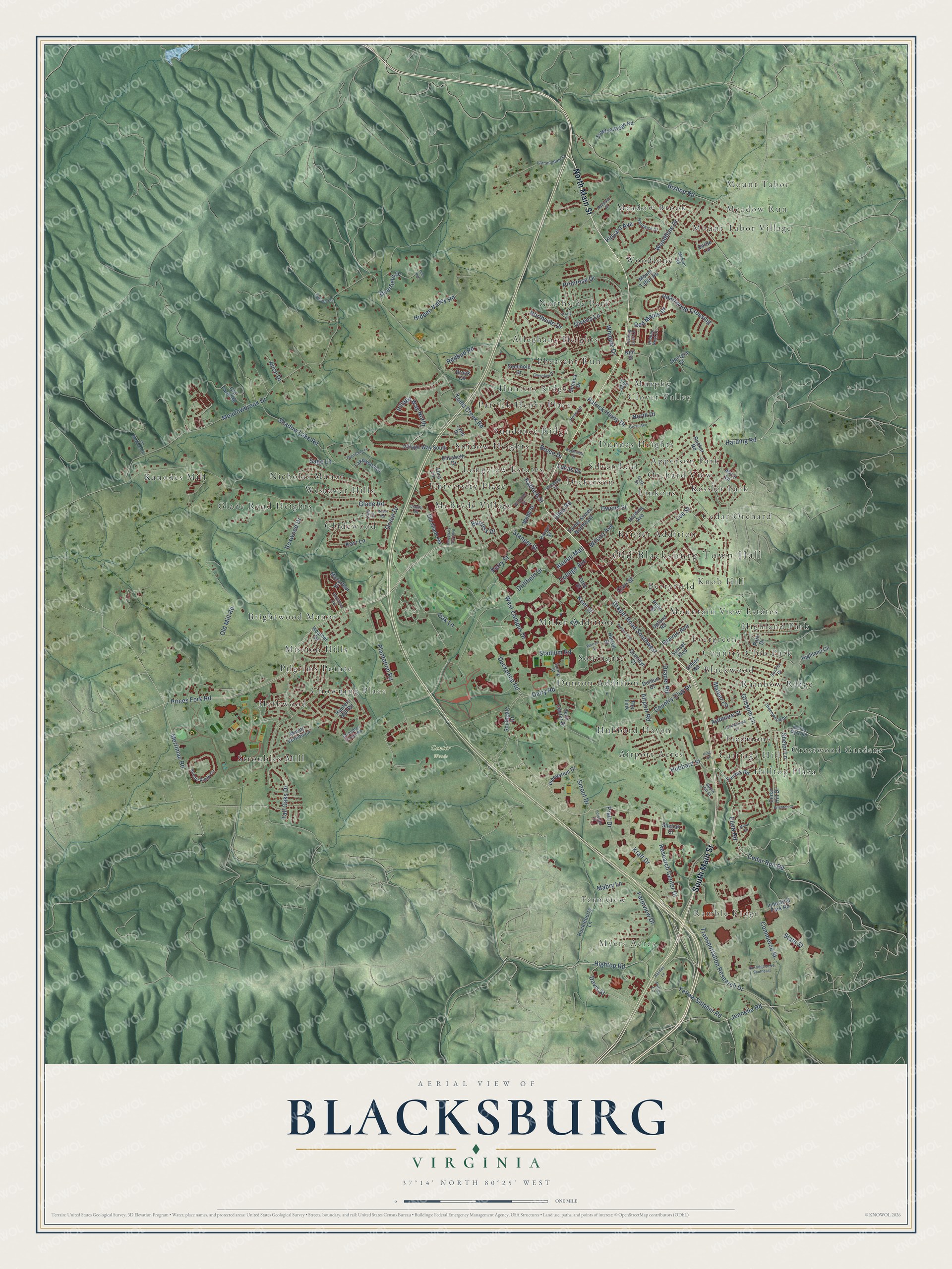
This beautifully detailed map of Blacksburg, Virginia was created in 2026 using aerial imagery combined with modern topographical, census, street and landmark data. It’s a one-of-a-kind view of Blacksburg that combines accurate data with a vintage aesthetic. The map shows every building in its true location, many of the roads carry their names, and the shaded topographic relief shows the shape of the land.
Explore an aerial view of Blacksburg, Virginia
On the map you’ll find Old Blacksburg Town Hall, Mount Tabor, Meadow Run, Myers Acres, Ramble Ridge, Center Woods, Airport Acres, Alleghany Heights, Apperson Park, Berryfield, Blackwood, Brightwood Manor, and more. If you look closely you can even find your house accurately drawn in its correct location. Zoom in on the preview to look for yours.
Did you know this piece of Blacksburg, Virginia history?
From Vcris.dhr.virginia.gov: "The earliest portion of Solitude was constructed about 1801 on land owned by Philip Barger, who sold the property in 1803 to James Patton Preston, governor of Virginia (1816-1819)."
Take a closer look at the Blacksburg map
Street and place names on the Blacksburg, Virginia map
These names are printed on the map of Blacksburg, Virginia.
Places: Old Blacksburg Town Hall, Mount Tabor, Meadow Run, Myers Acres, Ramble Ridge, Center Woods, Airport Acres, Alleghany Heights, Apperson Park, Berryfield, Blackwood, Brightwood Manor, Carriage Hill, Cedar Orchard, Chowning Place, Clover Valley, Country Club Park, Crestwood Gardens, Dickerson, Dundas Heights, Dunton Addition, Evergreen, Farmview, Glade Road Heights, Gladewood, Hethwood, Highland Park, Hilltop Plaza, Hubbard Haven, Hunters Ridge, Kanodes Mill, Keister Addition, Kessler Park, Knob Hill, Linkous, Longview Estates, McBryde Village, Meadow Brook, Miller Addition, Mission Hills, Mount Tabor Village, Mountain View Estates, Murphy, Nicholas Manor, Northside Park, Orchard View, Patrick Henry Place, Pheasant Run, Piedmont, Pilgrims Pointe, Rainbow Ridge, Silver Leaf, Snidow Heights, Southgate, Stroubles Mill, Sundance Ridge, University Place, Westover Hills and Woodbine.
Streets and roads: South Main Street, North Main Street, Research Center Drive, Hightop Road, Ellett Road, Plantation Road, Cedar Run Road, Harding Road, Yellow Sulphur Road, Hubbard Street, Shadow Lake Road, Draper Road Southwest.
More street names, A to Z
Airport Road, Alice Drive, Alumni Mall, Ardmore Street, Ascot Lane, Barger Street, Bishop Road, Boxwood Drive, Brighton Court, Broce Drive, Brook Circle, Burruss Drive, Cedar Hill Drive, Cherokee Drive, Clay Street, Claytor Square, Cohee Road, College Avenue, Commerce Street, Cork Drive, Country Club Drive, Craig Drive, Dairy Road, Davis Street, Deerfield Drive, Derbe Lane, Doe Run, Draper Road, Drillfield Drive, Duckpond Road, Dunton Drive, Edison Lane, Elizabeth Drive, Fairfax Road, Farmingdale Lane, Farmview Drive, Forecast Drive, Georgia Street, Giles Road, Givens Lane, Glade Road, Glen Cove Lane, Gracelyn Court, Graves Avenue, Greenwood Drive, Grissom Lane, Grove Avenue, Gustafson Avenue, Harding Avenue, Hardwick Street, Harrell Street, Heartwood Crossing, Heather Drive, Henry Lane, Hidden Nest Drive, Hidden Valley Road, Highland Circle, Holiday Lane, Huckleberry Lane, Hunters Mill Road, Industrial Park Road, Innovation Drive, Jennelle Road, Jim Meadows Drive, Kabrich Street, Karr Lane, Kent Street, King Street, Kraft Drive, Lakewood Drive, Landsdowne Street, Lark Lane, Lee Street, Lora Lane, Lucas Drive, Lynn Drive, Mabry Lane, Macarthur Street, Mateer Circle, Maywood Street, McDonald Street, McEver Road, Meadowbrook Drive, Merrimac Road, Minor Circle, Mount Tabor Road, Mount Vernon Lane, Neil Street, Nellies Cave Road, North Drive, Northside Drive, Northview Drive, Oak Lane, Old Farm Road, Old Glade Road, Old Mill Road, Oriole Drive, Otey Street, Owens Street, Park Drive, Partridge Drive Southeast, Patrick Henry Drive, Penn Street, Perry Street, Pratt Drive, Preston Avenue, Prices Fork Road, Primrose Drive, Puller Lane, Redbud Road, Red Maple Drive, Robin Road, Rucker Road, Sage Lane, Scenic Ridge Circle, Seminole Drive, Seneca Drive, Sheliah Court, Shelor Lane, Smoot Drive, Southgate Drive, South Hill Street, Spring Street, Stadium Road, Stanger Street, State Street, Stroubles Creek Road, Sunrise Drive, Sunset Boulevard, Tall Oaks Drive, Tech Center Drive, Tee Street, The Link, Toms Creek Road, Transportation Research Drive, Treetop Ridge Road, Turner Street Northeast, Turning Leaf Lane, University City Boulevard, Upland Road, Village Way North, Village Way South, Vinyard Avenue, Warren Street, Webb Street, West Campus Drive, Whipple Drive, Wilson Avenue, Winston Street, Woodbine Drive.
See the Blacksburg, Virginia map on a wall
The Blacksburg map as an 18 x 24 inch print in a black frame.

This beautifully detailed map of Blacksburg makes an attractive addition to your office, library, or den, and it can even be used to teach children the geography and history of the area. It also makes a great gift for someone who left Blacksburg and still calls it home. When you’re done exploring, click here to get your copy of the Blacksburg map.