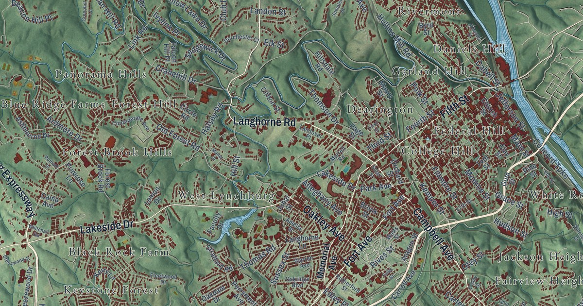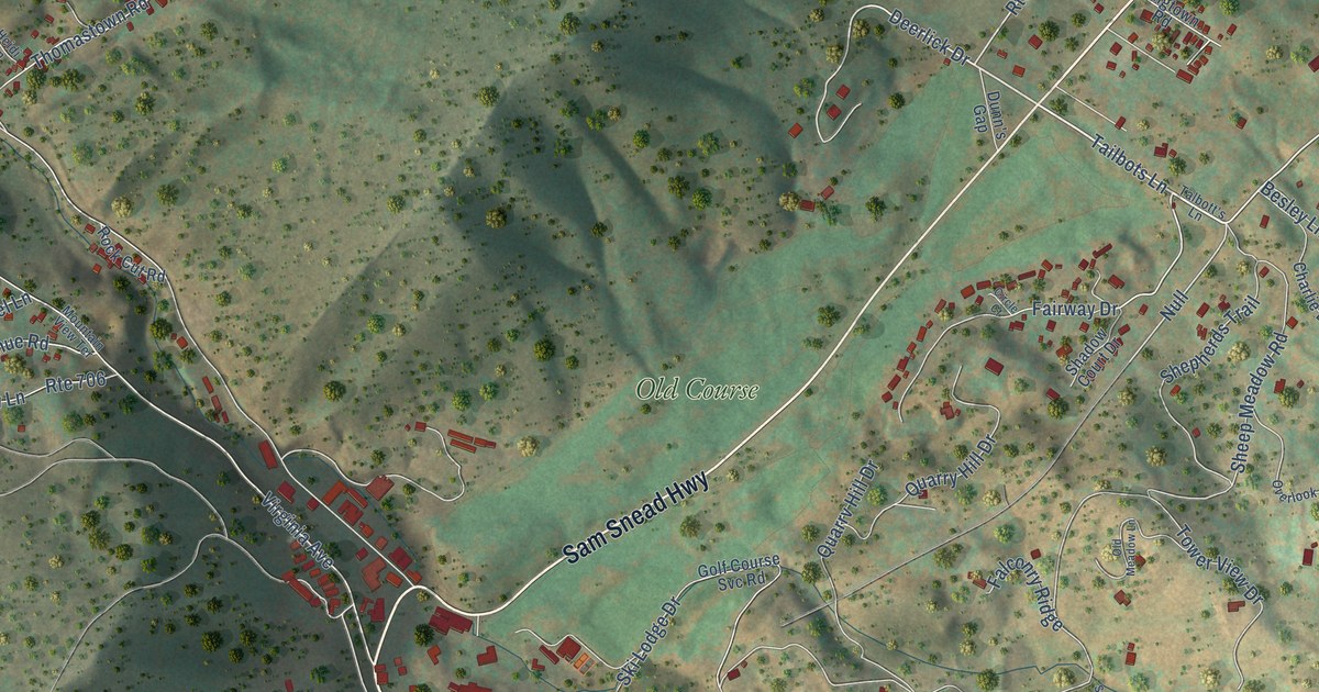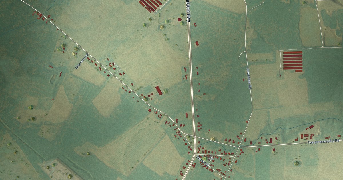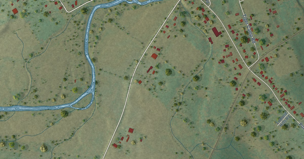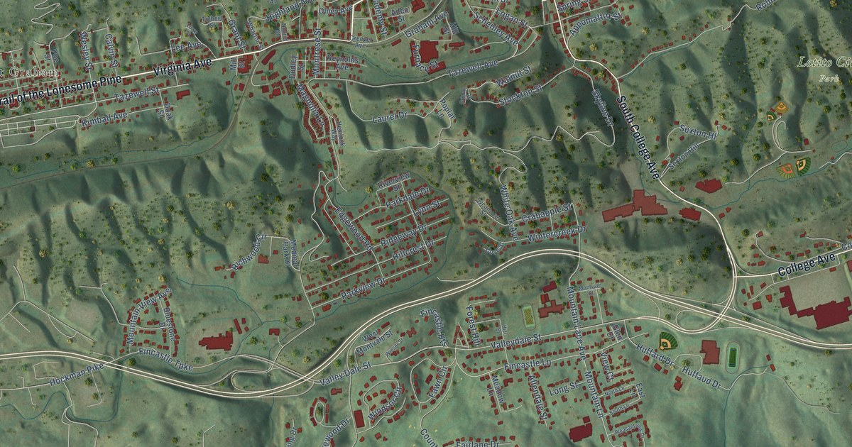
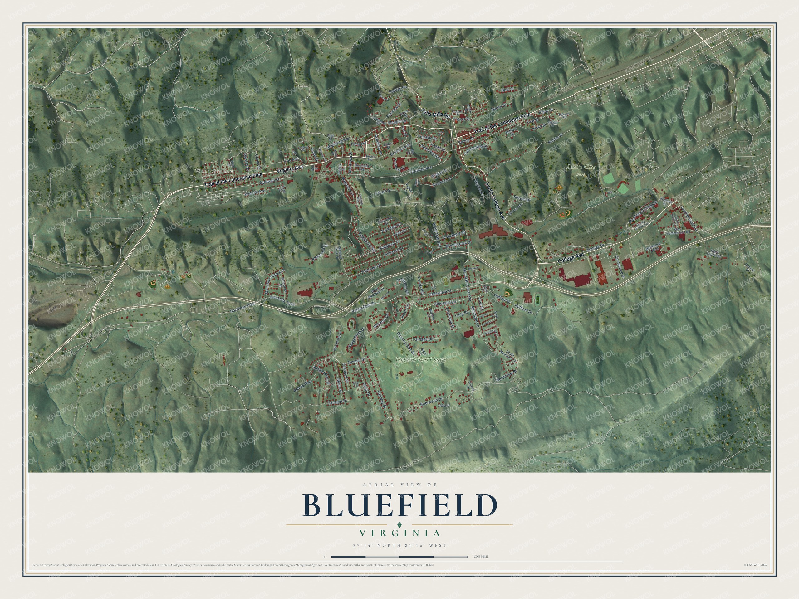
This beautifully detailed map of Bluefield, Virginia was created in 2026 using aerial imagery combined with modern topographical, census, street and landmark data. It’s a one-of-a-kind view of Bluefield that combines accurate data with a vintage aesthetic. The map shows every building in its true location, many of the roads carry their names, and the shaded topographic relief shows the shape of the land.
Explore an aerial view of Bluefield, Virginia
On the map you’ll find West Graham, Lotito City Park, Fincastle Golf Course, and Trail of the Lonesome Pine, along with Virginia Avenue, South College Avenue, College Avenue, Falls Mills Road, Leatherwood Lane, Wesley Street, Mountain Lane Avenue, College Drive, and more. If you look closely you can even find your house accurately drawn in its correct location. Zoom in on the preview to look for yours.
Did you know this piece of Bluefield, Virginia history?
From the Virginia Historical Highway Marker: "The town of Graham was incorporated in 1884 and named for Thomas Graham of Philadelphia. The town was reincorporated and the name changed to Bluefield, 1924, to conform to its sister city."
Take a closer look at the Bluefield map
Street and place names on the Bluefield, Virginia map
These names are printed on the map of Bluefield, Virginia.
Places: West Graham, Lotito City Park and Fincastle Golf Course.
Streets and roads: Trail of the Lonesome Pine, Virginia Avenue, South College Avenue, College Avenue, Falls Mills Road, Leatherwood Lane, Wesley Street, Mountain Lane Avenue, College Drive, Hockman Pike, Fincastle Turnpike, Highland Avenue.
More street names, A to Z
Academy Street, Aden Street, Allendale Street, Appomattox Street, Ashley Way, Belmont Avenue, Bluefield College Drive, Blue Jay Lane, Bluestone Drive, Brierwood Drive, Calvin Street, Cardinal Street, Central Drive, Commerce Drive, Country Club Drive, Cove Street, Crabapple Street, Crescent Street, Cypress Lane, Depot Street, Doak Street, Dudley Street, East Lane, East Street, Edgewood Road, Fairlane Drive, Fairview Street, Fairway Street, Fawn Circle, Fincastle Heights, Fincastle Lane, First Street, Forest Hill, Franklin Street, Furnace Street, Glen Court, Graham Avenue, Grant Street, Greever Avenue, Grimm Street, Grove Street, Hemlock Way, Hicks Street, High Street, Hillcrest Drive, Hill Street, Hizl Street, Hogan Circle, Huffard Drive, Huffaud Drive, Kimball Avenue, Laurel Drive, Lee Avenue, Logan Street, Long Street, Lowe Street, Lynn Street, Magnolia Lane, Meadow Lane, Medical Park Drive, Merdith Street, Mill Street, Montrose Street, Montvale Street, Mountain Lane, Mountain View Avenue, Neel Street, Norris Street, North Lane, Northview Street, Old Spring Drive, Olney Avenue, Parkdale Drive, Parkview Drive, Pleasantview Drive, Poe Street, Poplar Lane, Price Street, Puritan Road, Quail Drive, Race Track Road, Reynolds Avenue, Richwood Circle, Ridgeway Drive, Rigby Street, Riverview Street, Robin Street, Rollins Street, Russell Street, Schenley Avenue, Second Street, Sedgewood Drive, Sedge Wren Street, Sexton Hill, Sexton Hl, Skyline Drive, South Lane, South Mountain Lane, Spring Street, Stadium Drive, Starr Lane, Stinson Williams Drive, Stockton Street, Summit Street, Suthers Street, Sycamore Street, Tanager Drive, Tazewell Avenue, Tazewell Street, Thayer Street, Titleist Drive, Tolbert Street, Valleydale Street, Valley Dale Street, Vencil Street, View Court, Virginia Heights Drive, Walnut Street, West Cumberland Road, West Montvale Street, Westwood Cmns, Wharton Street, White Oak Avenue, Windsor Circle, Winsor Street, Wintercreek Drive.
See the Bluefield, Virginia map on a wall
The Bluefield map as an 18 x 24 inch print in a black frame.

This beautifully detailed map of Bluefield makes an attractive addition to your office, library, or den, and it can even be used to teach children the geography and history of the area. It also makes a great gift for anyone with Bluefield roots. When you’re done exploring, click here to get your copy of the Bluefield map.