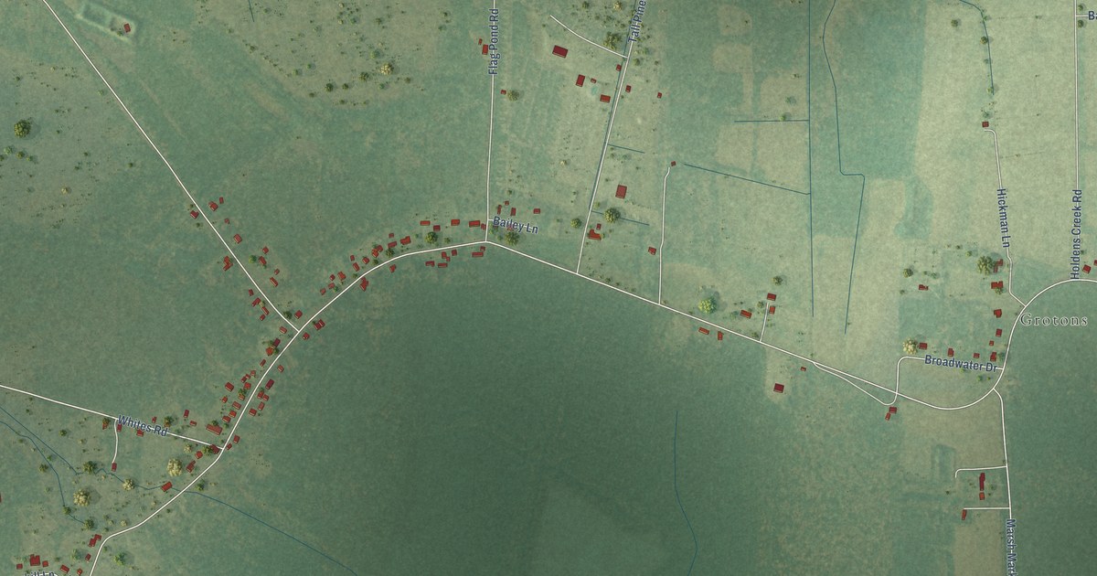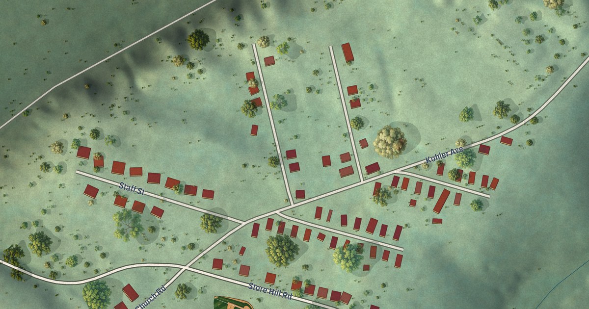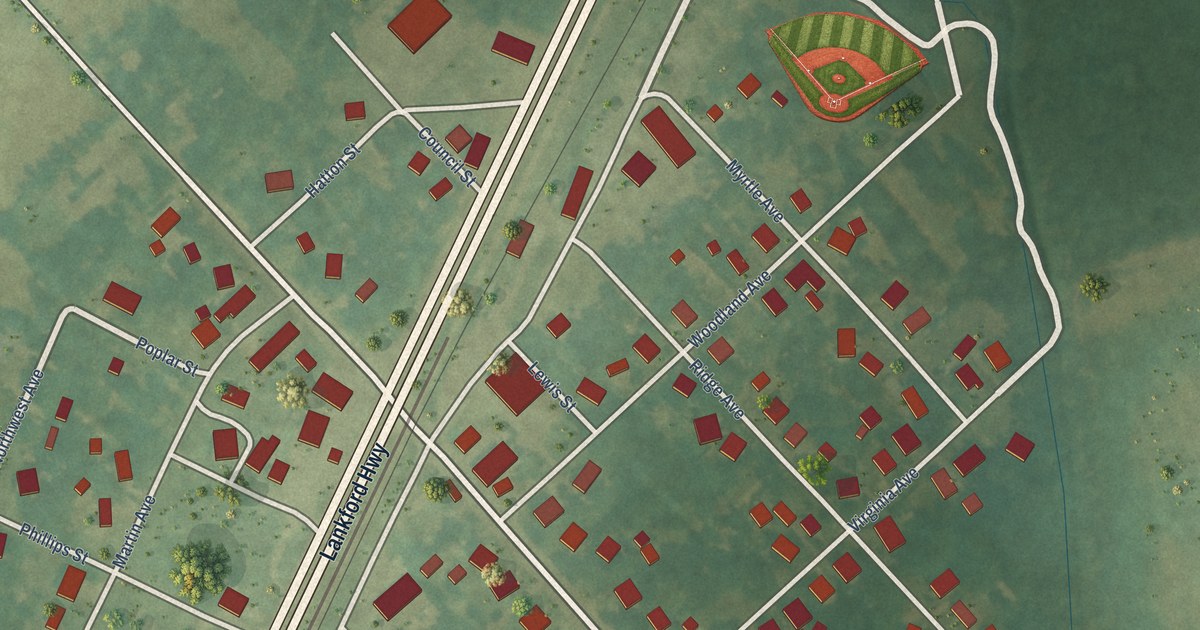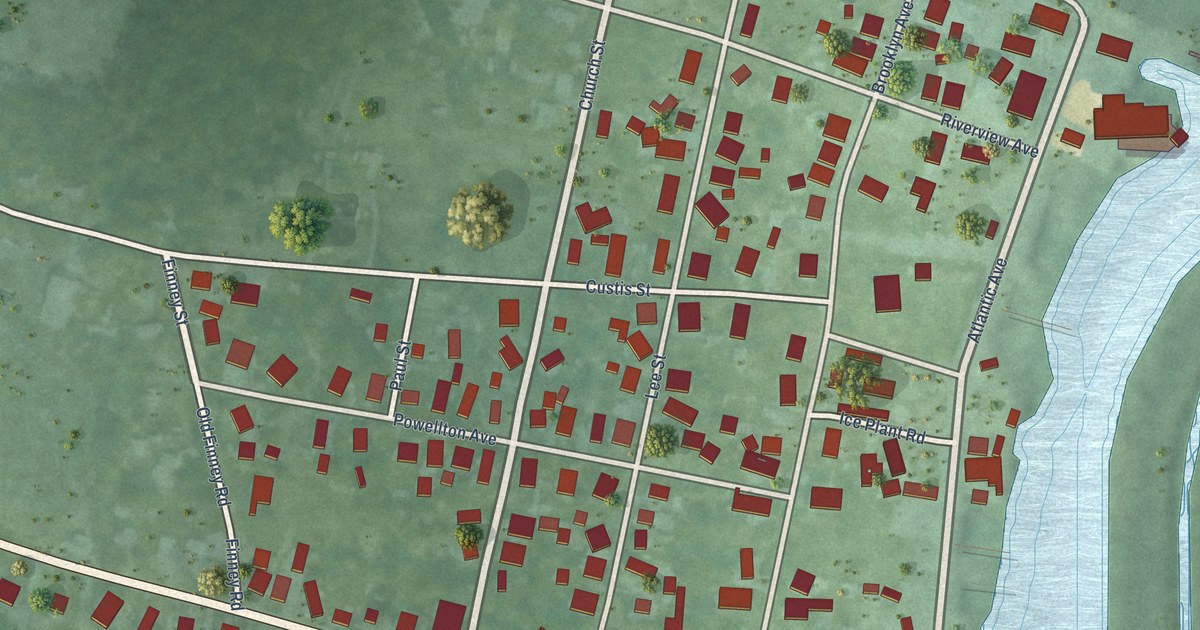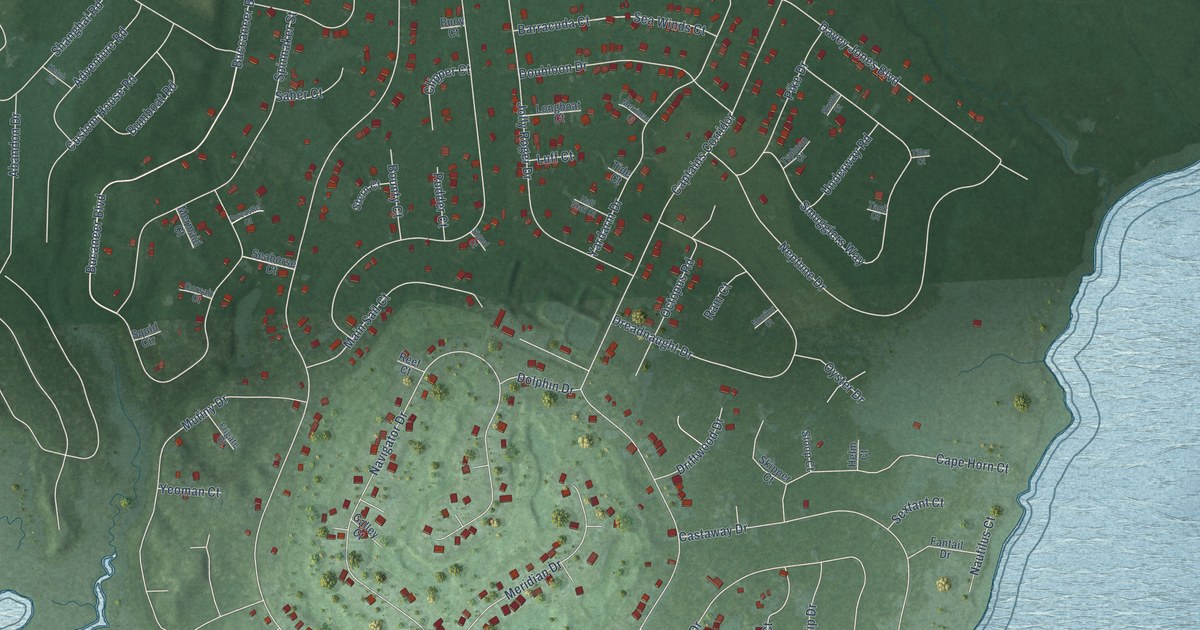
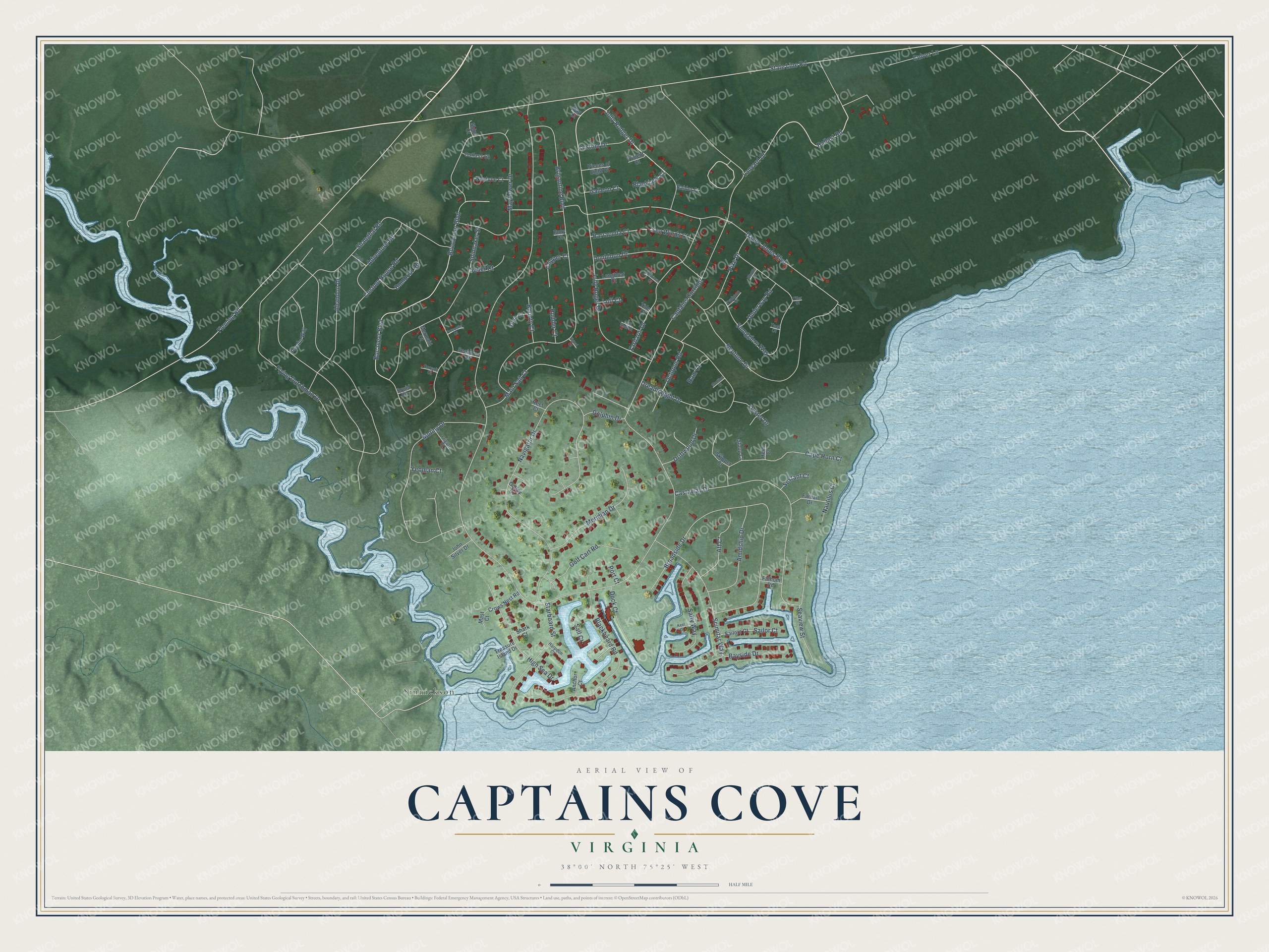
This beautifully detailed map of Captains Cove, Virginia was created in 2026 using aerial imagery combined with modern topographical, census, street and landmark data. It's a modern aerial view of Captains Cove in Accomack County, Virginia, that combines modern data with a vintage aesthetic. The roads feature printed names, and if you look closely you can find your exact house accurately shown in its correct location.
Explore an aerial view of Captains Cove, Virginia
On this map you'll find Sinnickson, Ballast Road, Bucaneer Boulevard, Jolly Rodger Drive, Captains Corridor, Flying Dutchman Drive, State Line Road, Shanghai Road, Jolly Roger Drive, Buccaneer Boulevard, Navigator Drive, Brigantine Boulevard, and more. Each red shape is a building, so zoom in on the preview and look for yours.
Captains Cove is a community in Accomack County. The Census Bureau counted 1,544 people here in 2020. Captains Cove sits about 2 miles southwest of Greenbackville, 3 miles northeast of Horntown and 5 miles northwest of Chincoteague. The map prints the town name in its title panel, with the coordinates below it.
Take a closer look at the Captains Cove map
Names on this map
These names are printed on this map.
Places: Sinnickson.
Streets and roads: Ballast Road, Bucaneer Boulevard, Jolly Rodger Drive, Captains Corridor, Flying Dutchman Drive, State Line Road, Shanghai Road, Jolly Roger Drive, Buccaneer Boulevard, Navigator Drive, Brigantine Boulevard, Davey Jones Boulevard.
More street names, A to Z
Abandon Drive, Adventure Road, Aft Court, Amidship Drive, Anchor Court, Barracuda Court, Bayside Drive, Becalm Way, Blackbeard Road, Blackjack Court, Bounty Court, Broadside Drive, Bumboat Road, Buoy Court, Cape Horn Court, Castaway Drive, Clipper Court, Corsair Court, Crows Nest Road, Culver Lane, Custom Drive, Custom House Road, Cutlass Court, Day Court, Dock Court, Dolphin Drive, Doubloon Drive, Dreadnaught Drive, Driftwood Drive, Fantail Drive, Fathom Road, Fleming Road, Forcastle Court, Frigate Court, Galleon Court, Galley Court, Golf Cart Road, Half Staff Court, Harpoon Court, Helm Court, High Sea Drive, John Silver Drive, Keel Court, Ketch Road, Lanyard Drive, Longboat Court, Luff Court, Main Sail Court, Mast Court, Mayflower Drive, Meridian Drive, Mermaid Court, Merrimac Court, Monitor Court, Mutiny Drive, Nautilus Court, Neptune Court, Neptune Drive, Octopus Road, Oyster Drive, Pieces of Eight Court, Pike Drive, Port Court, Raider Court, Ram Court, Reef Court, Rudder Court, Saber Court, Sail Court, Sailor Court, Sailors Court, Salty Way, Scimitar Way, Seahorse Court, Seaview Street, Sea Winds Court, Sextant Court, Shark Court, Ships Court, Signal Court, Skipper Court, Skuttle Court, Sloop Court, Smugglers Way, Spinnaker Street, Squid Circle, Starboard Street, Stern Court, Tack Court, Tide Court, Tiller Court, Treasure Island Drive, Trident Court, Typhoon Court, Underway Road, Yardarm Drive, Yeoman Court.
See it on a wall
The Captains Cove map as a framed print. Swipe for more.


Created by KNOWOL in 2026. The buildings are small red shapes, the roads carry their printed names, and shaded relief shows the shape of the land. The title panel reads "AERIAL VIEW OF CAPTAINS COVE, VIRGINIA" with 38°00' NORTH 75°25' WEST.
It suits a den, a classroom or a front hall, and it makes a gift for anyone with Captains Cove roots. Open the preview and find the block you know. See sizes and frames for the Captains Cove map.