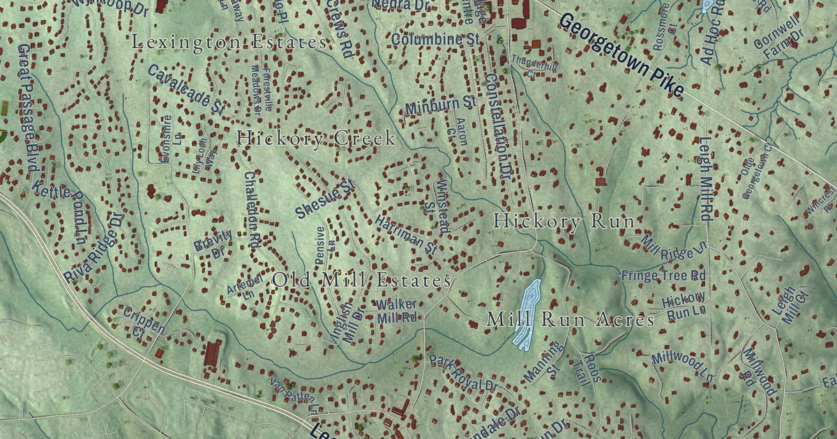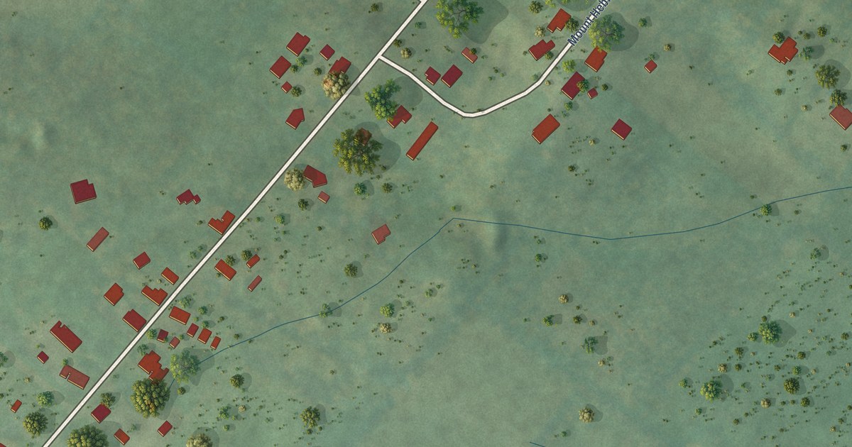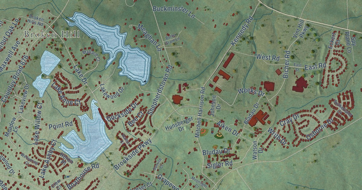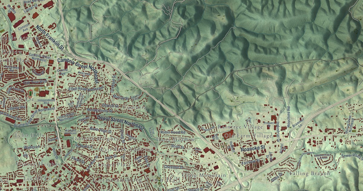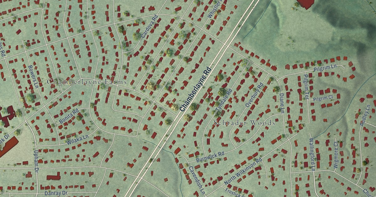
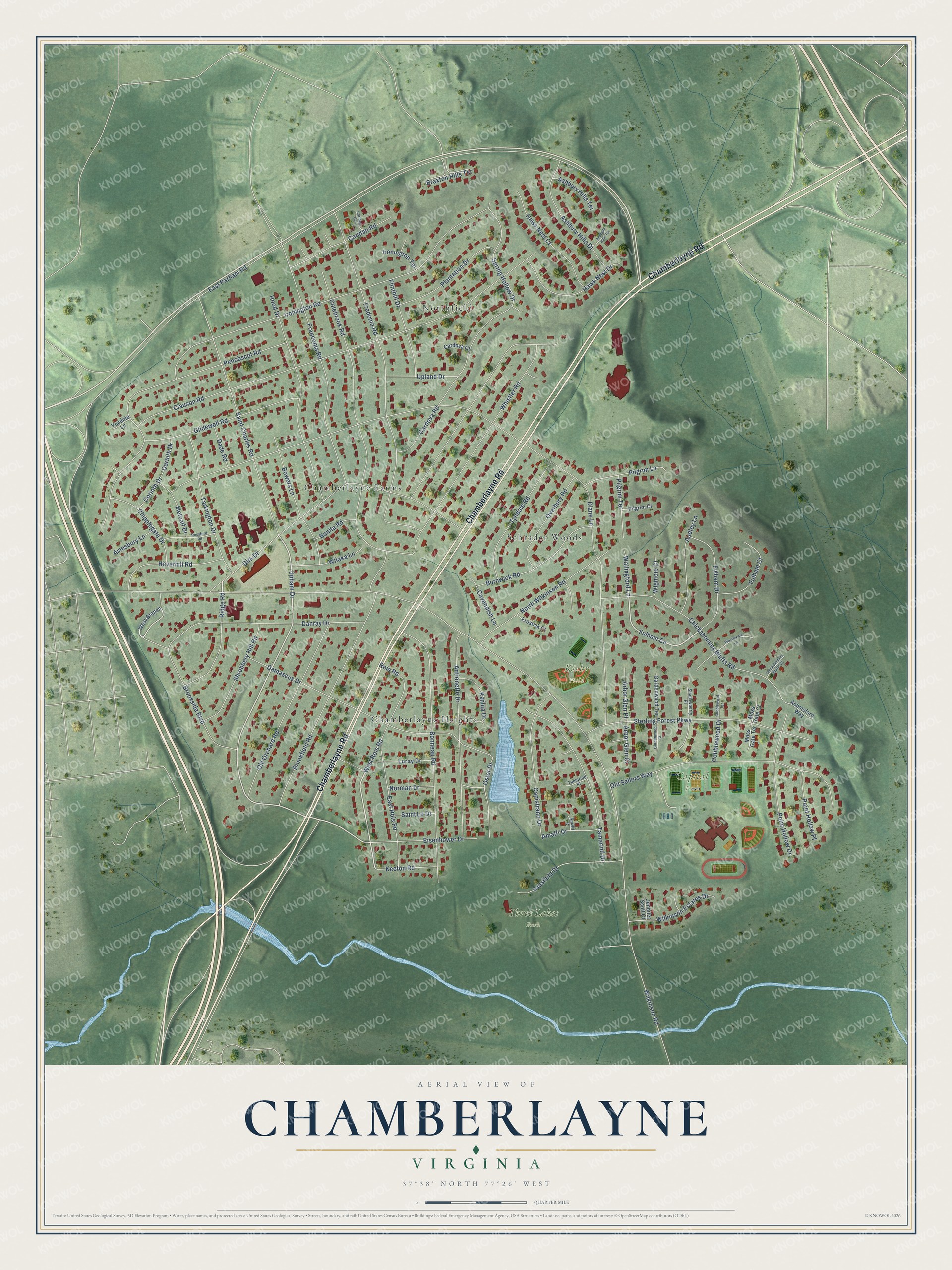
This beautifully detailed map of Chamberlayne, Virginia was created in 2026 using aerial imagery combined with modern topographical, census, street and landmark data. It’s a one-of-a-kind view of Chamberlayne that combines accurate data with a vintage aesthetic. The map shows every building in its true location, many of the roads carry their names, and the shaded topographic relief shows the shape of the land.
Explore an aerial view of Chamberlayne, Virginia
On the map you’ll find Capital Park, Kiehr Field, Three Lakes Park, Chamberlayne Farms, Chamberlayne Heights, Northfield, and Schrader Woods, along with Chamberlayne Road, East Parham Road, Upham Drive, Dirk Drive, West Rois Road, and more. If you look closely you can even find your house accurately drawn in its correct location. Zoom in on the preview to look for yours.
Did you know this piece of Chamberlayne, Virginia history?
From the Northern Henrico Civic Association: "After 22 years the Association had finally built a brick meeting place of its own. The dedication of the building took place on May 6, 1963."
Take a closer look at the Chamberlayne map
Street and place names on the Chamberlayne, Virginia map
These names are printed on the map of Chamberlayne, Virginia.
Places: Capital Park, Kiehr Field, Three Lakes Park, Chamberlayne Farms, Chamberlayne Heights, Northfield and Schrader Woods.
Streets and roads: Chamberlayne Road, East Parham Road, Upham Drive, Dirk Drive, West Rois Road, Fulham Circle, Wilkinson Road, Diane Lane, Brookfield Road, Clauson Road, Ironington Road, Fredonia Road.
More street names, A to Z
Abbotsford Way, Amalfi Court, Amalfi Drive, Amesbury Lane, Antionette Drive, Arbor Glen Court, Arbor Glen Place, Ashbury Hills Drive, Ashbury Hills Terrace, Ashfield Hills Terrace, Audley Lane, Bonita Road, Bonneau Road, Bowers Lane, Braxton Hills Terrace, Brookside Boulevard, Burnwick Road, Capistrano Drive, Cardova Court, Cardova Road, Carldan Court, Carldan Road, Cavendish Lane, Chickahominy Bluffs Court, Chickahominy Bluffs Road, Chipplegate Drive, Cobblewood Drive, Cobblewood Terrace, Colebrook Road, Corinth Drive, Cornith Drive, Dade Road, Damascus Drive, Danray Drive, East Rois Road, Eisenhower Drive, Flinthill Drive, Franconia Road, Frostick Court, Fulham Court, Fulham Drive, Gardenwood Court, Gardenwood Terrace, Glidewell Road, Haverhill Road, Hawk Nest Court, Hawk Nest Drive, Hood Drive, Ironington Terrace, Jennifer Scott Court, Kahlua Drive, Keeton Road, Luray Drive, Metcalf Drive, Moss Gate Court, Moss Gate Terrace, Norman Drive, North Wilkinson Road, Old Orchard Road, Old Sellers Way, Oster Drive, Overbury Road, Penobscot Road, Pilgrim Court, Pilgrim Lane, Pilgrim Terrace, Plantation Drive, Point Hollow Drive, Point Hollow Place, Ridge Road, Rois Road, Rossford Road, Saint Charles Road, Saint Lo Drive, Sausiluta Drive, Shadowberry Place, Shrubbery Hill Road, Spring Hollow Drive, Sterling Forest Parkway, Tamarind Drive, Tamarind Place, Tarkington Drive, Tyndale Road, Upland Drive, Wallingford Lane, West Branch, Westmeath Lane, Whistler Road, Wigmore Court, Wilaka Lane, Wilkinson Estates Drive, Yondota Lane.
See the Chamberlayne, Virginia map on a wall
The Chamberlayne map as an 18 x 24 inch print in a black frame.

This beautifully detailed map of Chamberlayne makes an attractive addition to your office, library, or den, and it can even be used to teach children the geography and history of the area. It also makes a great gift for anyone with Chamberlayne roots. When you’re done exploring, click here to get your copy of the Chamberlayne map.