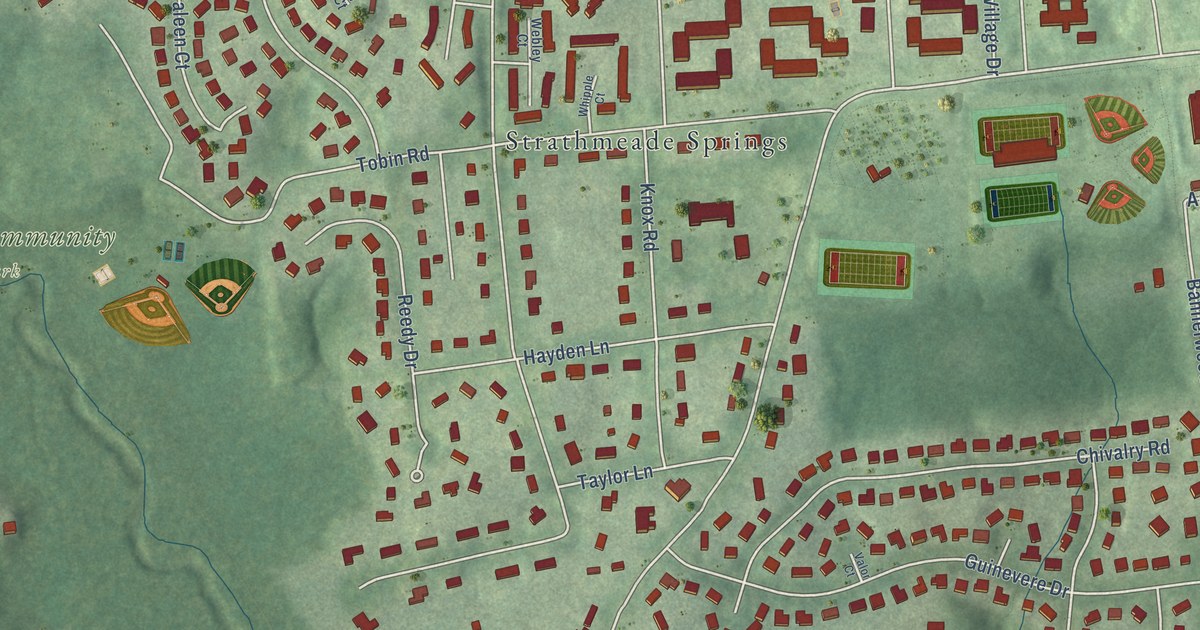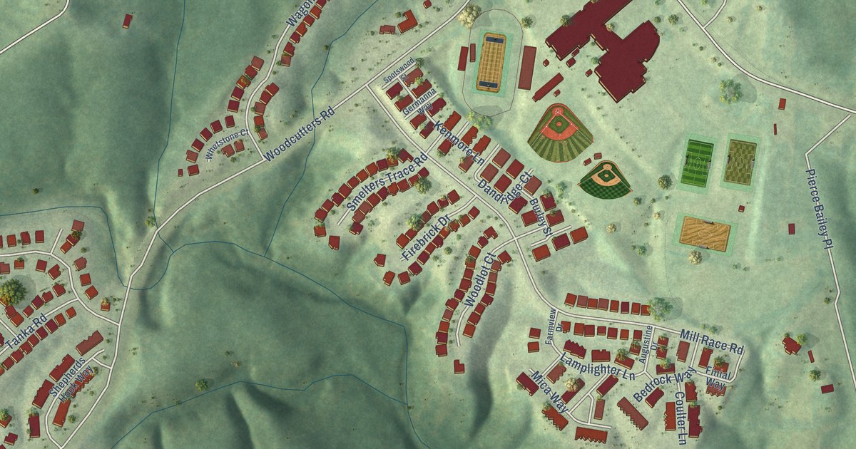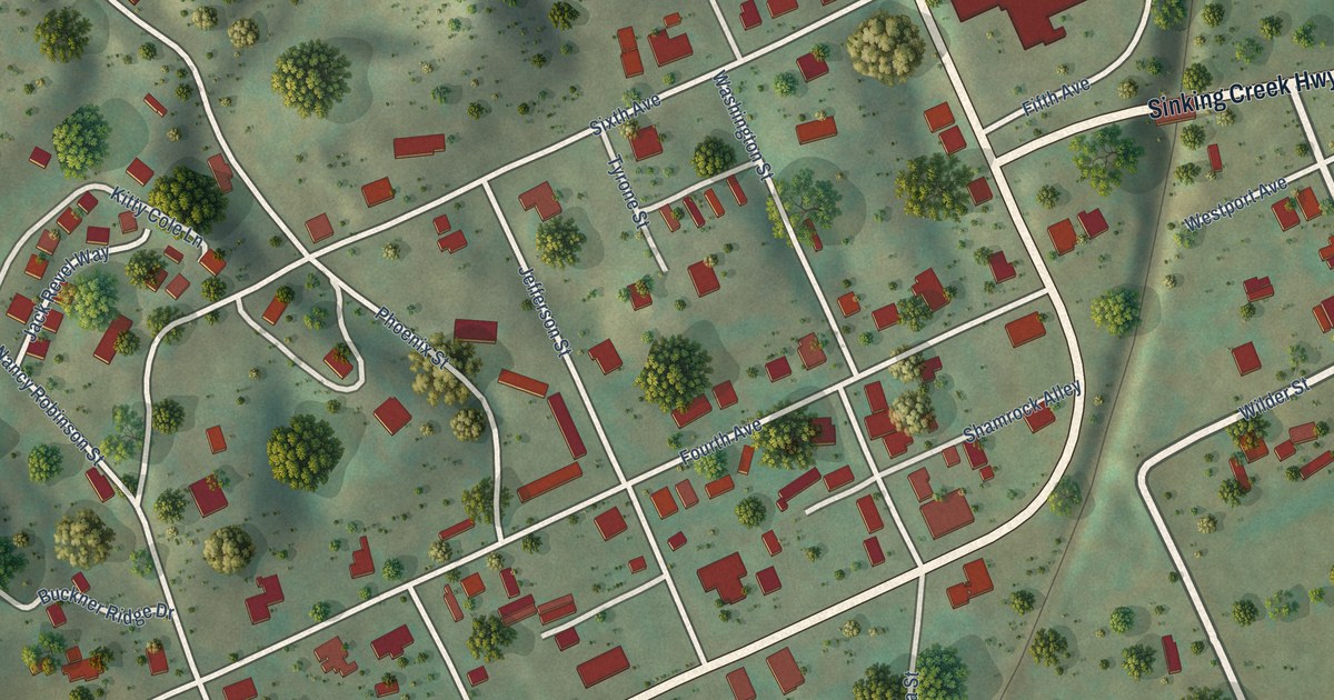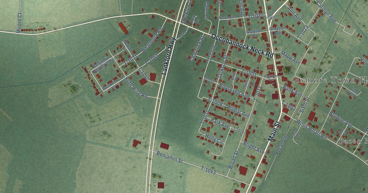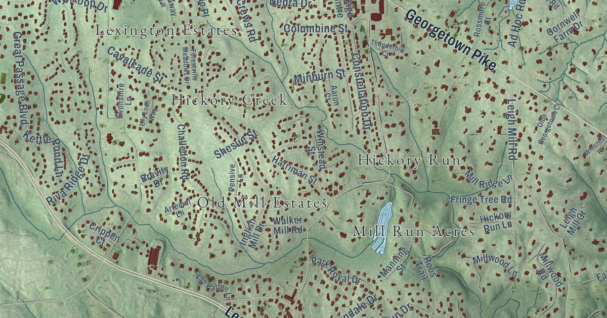
This beautifully detailed map of Great Falls, Virginia was created in 2026 using aerial imagery combined with modern topographical, census, street and landmark data. It’s a one-of-a-kind view of Great Falls that combines accurate data with a vintage aesthetic. The map shows every building in its true location, many of the roads carry their names, and the shaded topographic relief shows the shape of the land.
Explore an aerial view of Great Falls, Virginia
On the map you’ll find Fraser Preserve, Great Falls Park, Riverbend Park, Deanwood, Dranesville, Fairview, Herndon Junction, Hickory Creek, Hickory Run, Leighs, Lexington Estates, Mill Run Acres, and more. If you look closely you can even find your house accurately drawn in its correct location. Zoom in on the preview to look for yours.
Did you know this piece of Great Falls, Virginia history?
From Vcris.dhr.virginia.gov: "Established during the Cold War to defend Washington from Soviet air attack, this complex, along with those at Fairfax and Lorton, was among the thirteen sites that encircled Washington and Baltimore."
Take a closer look at the Great Falls map
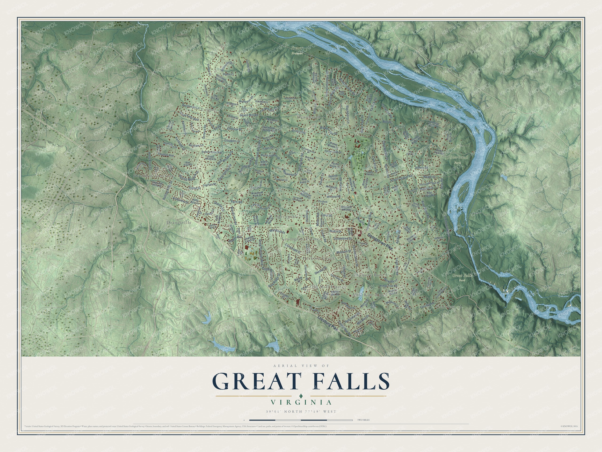
Street and place names on the Great Falls, Virginia map
These names are printed on the map of Great Falls, Virginia.
Places: Fraser Preserve, Great Falls Park, Riverbend Park, Deanwood, Dranesville, Fairview, Herndon Junction, Hickory Creek, Hickory Run, Leighs, Lexington Estates, Mill Run Acres, Old Mill Estates and Springvale.
Streets and roads: Georgetown Pike, Leesburg Pike, River Bend Road, Springvale Road, Walker Road, Beach Mill Road, Seneca Road, Utterback Store Road, Old Dominion Drive, Holly Knoll Drive, Interpromontory Road, River Park Drive.
More street names, A to Z
Aaron Court, Ad Hoc Road, Aidan Run Court, Air View Lane, Akhtamar Drive, Allenwood Lane, Arnon Chapel Road, Arnon Lake Drive, Arnon Meadow Road, Artemel Lane, Aziza Court, Beckman Way, Bell Drive, Birnham Road, Blackberry Lane, Blacks Hill Road, Bliss Lane, Bliss Road, Blue Ridge Lane, Bowen Avenue, Bowen Court, Brevity Drive, Brockman Lane, Bucks Lane, Canterwood Lane, Carol Street, Carrwood Road, Cavalcade Street, Challedon Road, Chesapeake Drive, Clarks Run Road, Clear Spring Road, Club View Drive, Columbine Street, Colvin Run Road, Commonage Drive, Constellation Drive, Cornwell Farm Drive, Corobon Lane, Creamcup Lane, Crews Road, Crippen Court, Crossview Drive, Crown Meadow Drive, Cup Leaf Holly Court, Deepwoods Drive, Deerfield Pond Drive, Deerfoot Drive, Deer Park Road, Donmore Drive, Down Patrick Lane, Eaton Park Road, Elizabeth Street, Ellsworth Avenue, Elmview Place, Evonshire Lane, Fairfax Drive, Falcon Ridge Road, Fallen Holly Court, Falls Bridge Lane, Falls Run Road, Farm Road, Fawn Drive, Fitz Folly Drive, Forest Brook Lane, Forest Lake Drive, Forestville Meadows Drive, Fringe Tree Road, Goldsmith Lane, Gouldman Lane, Great Cumberland Road, Great Falls Way, Great Passage Boulevard, Harriman Street, Haven Lane, Hessick Court, Hickory Run Lane, Hidden Spring Road, High Hill Court, High Hill Place, Holly Briar Lane, Holly Creek Drive, Holly Knoll Circle, Hollyview Drive, Inglish Mill Drive, Innsbruck Avenue, Jackson Lane, Jefferson Run Road, Jeffery Lane, Jeffery Road, Jordan Lane, Keithley Drive, Kentland Drive, Kettle Pond Lane, Kimberly Place, Lagovista Court, Lake Windermere Drive, Leigh Mill Court, Leigh Mill Road, Lily Loch Way, Lindsay Blake Lane, Loran Road, Lost Acre Lane, Manning Street, Maria Avenue, Martin Redman Drive, Milkweed Drive, Miller Avenue, Mill Field Court, Mill Ridge Lane, Mill Run Drive, Millwood Lane, Millwood Road, Milstead Road, Minburn Street, Mine Ridge Road, Mine Run Drive, Montpelier Road, Nalls Farm Way, Nedra Drive, Neha Court, Nethercliffe Hall Road, Neuse Way, New Ascot Drive, Nicholas Run Drive, Olde Georgetown Court, Old Holly Drive, Ole Dirt Road, Outlet Road, Pamlico Lane, Parkerhouse Drive, Park Royal Drive, Parrish Farm Lane, Patowmack Drive, Patrician Woods Court, Pensive Lane, Philip Digges Drive, Plantation Drive, Polo Place, Potomac Forest Drive, Potomac Ridge Road, Potowmack Street, Preserve Court, Raehn Court, Richland Grove Drive, Rich Meadow Drive, Riva Ridge Drive, River Birch Drive, River Forest Drive, River Park Lane, Riverscape Run, Robindale Drive, Rolling Holly Drive, Rolling Meadow Drive, Roos Trail, Rossmore Court, Runaway Lane, Runner Road, Running Brook Drive, Saint Ives Road, Seneca Knoll Drive, Seneca View Way, Shain Court, Shallow Creek Drive, Sherlin Lane, Shesue Street, Sinegar Place, Springvale Meadow Lane, Squires Trail, Sterling Montague Drive, Sycamore Springs Lane, Thimbleberry Lane, Thomas Avenue, Thomas Run Drive, Thunderhill Court, Tralee Drive, Van Patten Lane, Village Centre, Walker Hill Lane, Walker Lake Drive, Walker Mill Road, Walker Woods Drive, Watts Road, Weant Drive, Welham Green Road, Wincrest Place, Windy Hollow Road, Winstead Street, Wise Owl Way, Wolfe Hill Lane, Woodland Falls Drive, Woodleaf Lane, Wynkoop Drive, Yarnick Road.
See the Great Falls, Virginia map on a wall
The Great Falls map as an 18 x 24 inch print in a black frame.

This beautifully detailed map of Great Falls makes an attractive addition to your office, library, or den, and it can even be used to teach children the geography and history of the area. It also makes a great gift for someone who left Great Falls and still calls it home. When you’re done exploring, click here to get your copy of the Great Falls map.