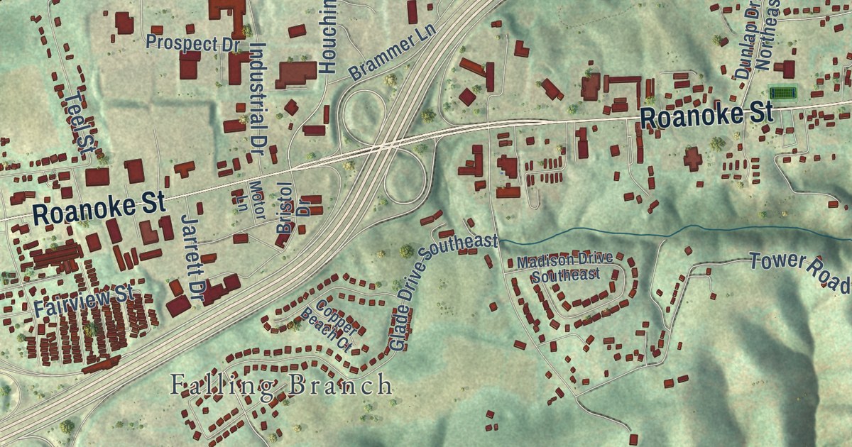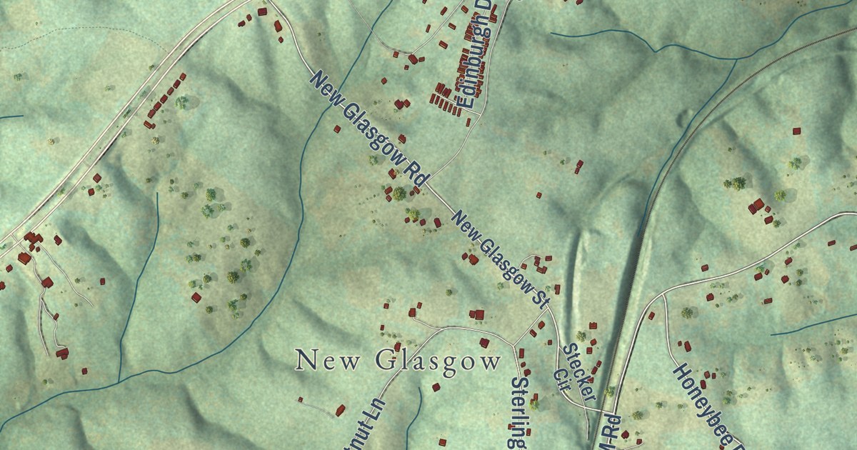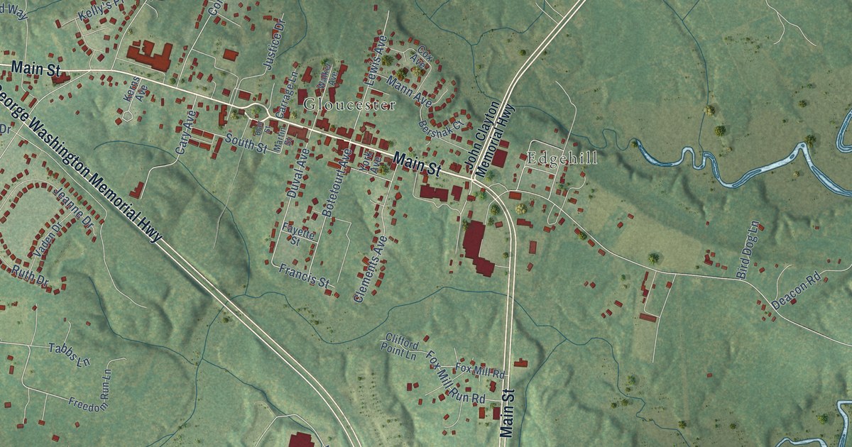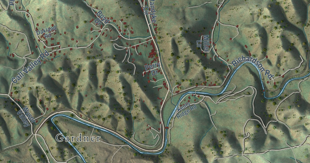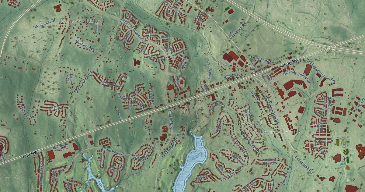
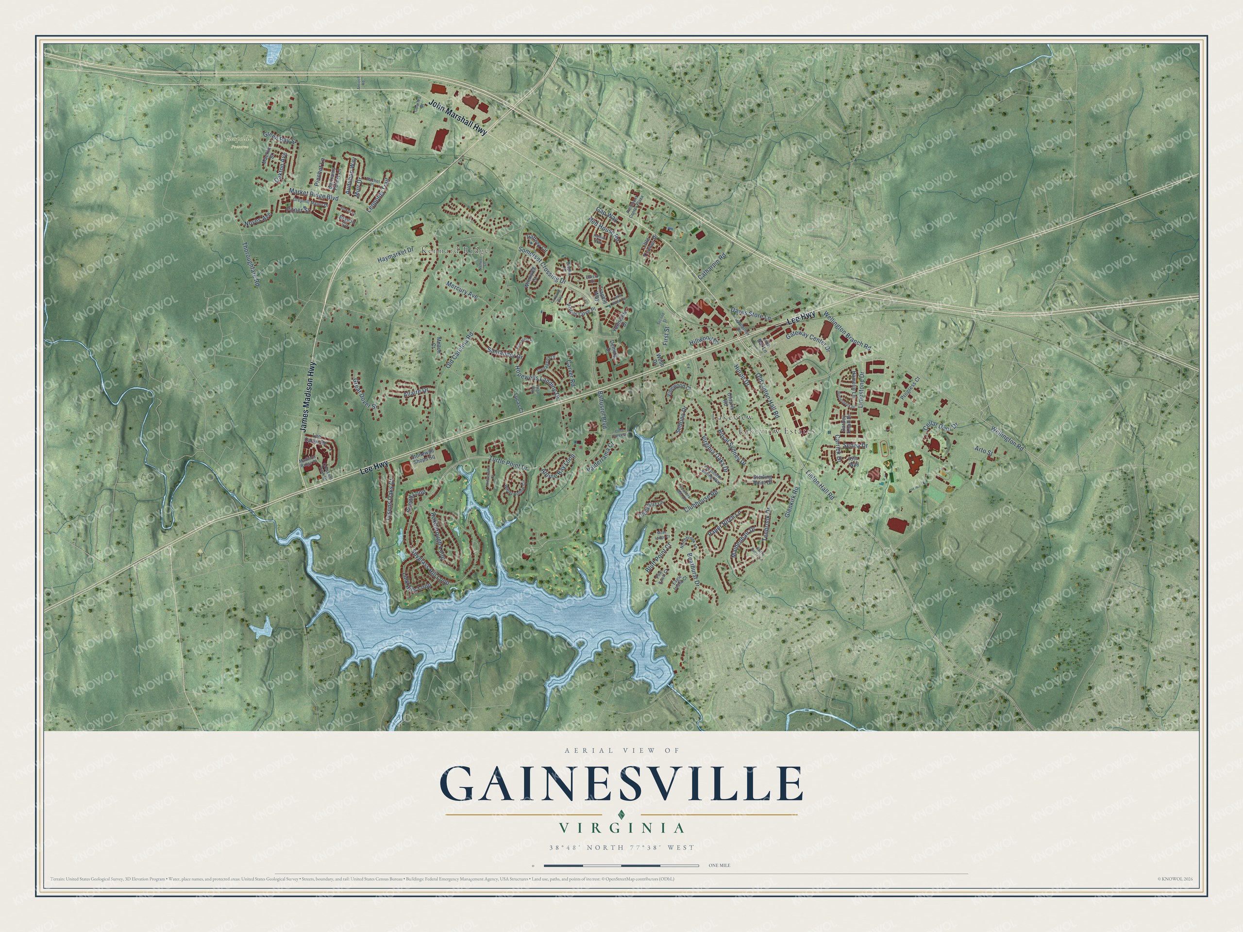
This beautifully detailed map of Gainesville, Virginia was created in 2026 using aerial imagery combined with modern topographical, census, street and landmark data. It’s a one-of-a-kind view of Gainesville that combines accurate data with a vintage aesthetic. The map shows every building in its true location, many of the roads carry their names, and the shaded topographic relief shows the shape of the land.
Explore an aerial view of Gainesville, Virginia
On the map you’ll find Kennard Ridge, Leopold’s Preserve, Lakeview, and Lakeview Estates, along with James Madison Highway, Lee Highway, John Marshall Highway, Turtle Point Drive, Wellington Road, Hopewells Landing Drive, Linton Hall Road, Thoroughfare Road, and more. If you look closely you can even find your house accurately drawn in its correct location. Zoom in on the preview to look for yours.
Did you know this about Gainesville, Virginia?
From Vcris.dhr.virginia.gov: "Jackson next captured Bristoe Station on the Orange and Alexandria Railroad, and then Manassas Junction, in a prelude to the Second Battle of Manassas."
Take a closer look at the Gainesville map
Street and place names on the Gainesville, Virginia map
These names are printed on the map of Gainesville, Virginia.
Places: Kennard Ridge, Leopold's Preserve, Lakeview and Lakeview Estates.
Streets and roads: James Madison Highway, Lee Highway, John Marshall Highway, Turtle Point Drive, Wellington Road, Hopewells Landing Drive, Linton Hall Road, Thoroughfare Road, Somerset Crossing Drive, Glenkirk Road, Old Carolina Road, Spyglass Hill Loop.
More street names, A to Z
Allaire Drive, Alpine Bay Loop, Amsterdam Court, Antioch Road, Arto Street, Audubon Way, Baltusrol Boulevard, Bartrams Forest Lane, Bearhurst Drive, Bladen Place, Bluff Point Court, Bryson Circle, Carrick Drive, Cartagena Drive, Carver Road, Catharpin Road, Cellar Door Drive, Charles Street, Clubhouse Road, Crescent Park Drive, Darbey Knoll Drive, Daves Store Lane, Deming Drive, Eagle Island Court, Edisto Court, First Street, Forkland Way, Fowlers Mill Drive, Gaffney Circle, Gallerher Road, Gap Way, Gateway Center Drive, Great Dover Street, Green Bay Street, Greymill Manor Drive, Hamelin Lane, Hastenbeck Drive, Haymarket Drive, Hillwood Drive, Hulfish Way, Huron Drive, Iron Bar Lane, Lee Carter Road, Leopolds Trail, Limestone Drive, Link Hills Loop, Links Pond Circle, Little Thames Drive, Lucas Court, Macklin Street, Madison Ridge Place, Maidenhair Drive, Market Ridge Boulevard, Melton Court, Mercury Avenue, Moss Ledge Court, Muir Drive, Northbrook Lane, Noyes Avenue, Oakton Avenue, Old Linton Hall Road, Ontario Road, Otter Creek Drive, Paper Birch Lane, Pensacola Place, Piedmont Center Plaza, Pinchot Lane, Pine Knott Court, Pitner Street, Presidents Landing Way, Prices Cove Place, Progress Court, Rachel Place, Red House Road, Rita Way, Roxborough Loop, Royal Sydney Drive, Santander Drive, Second Street, Sedona Drive, Senea Drive, Sierra Sunset Lane, Snead Loop, Sterling Point Drive, Stokes Lane, Stonewall Shops Square, Tenbrook Drive, Tillinghast Lane, Traphill Way, Tysons Oaks Court, Valderrama Court, Venus Court, Vinewood Court, Virginia Oaks Drive, Webb Drive, Wellington Branch Road, Windy Hollow Circle, Winnipeg Court, Yalta Way, Yountville Drive.
See the Gainesville, Virginia map on a wall
The Gainesville map as an 18 x 24 inch print in a black frame.

This beautifully detailed map of Gainesville makes an attractive addition to your office, library, or den, and it can even be used to teach children the geography and history of the area. It also makes a great gift for someone who left Gainesville and still calls it home. When you’re done exploring, click here to get your copy of the Gainesville map.