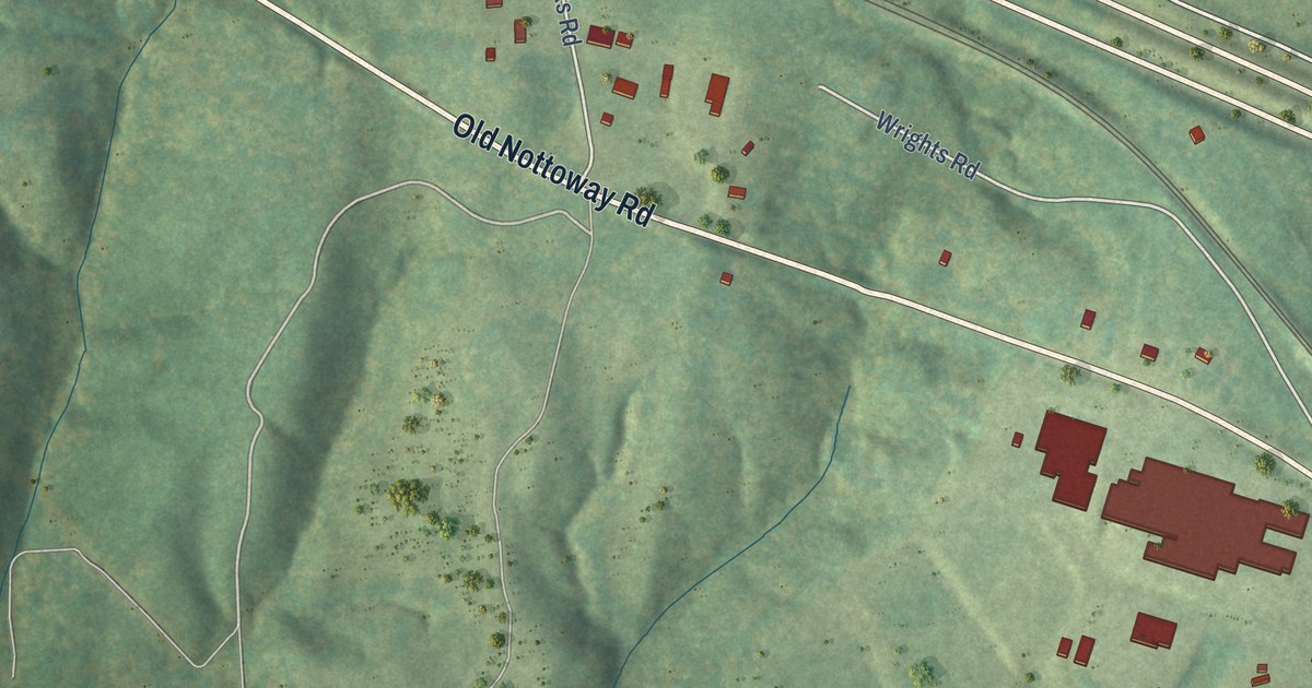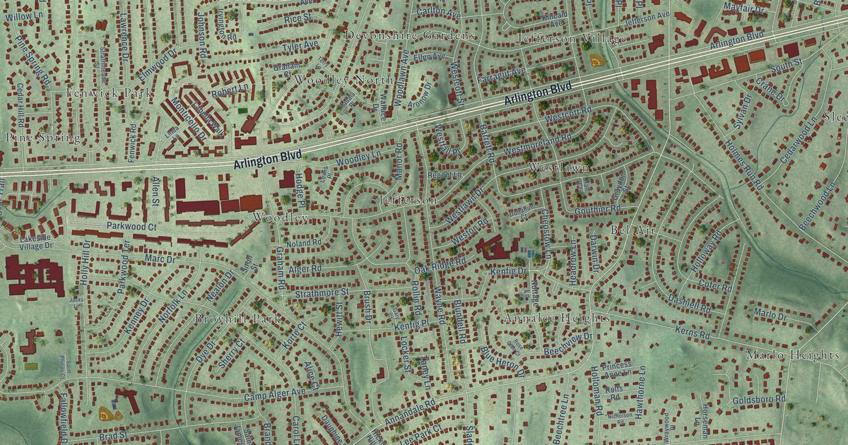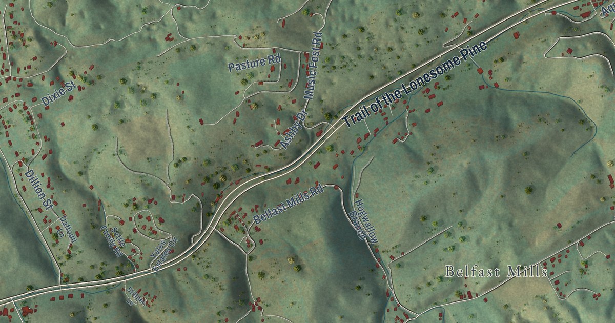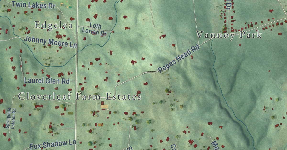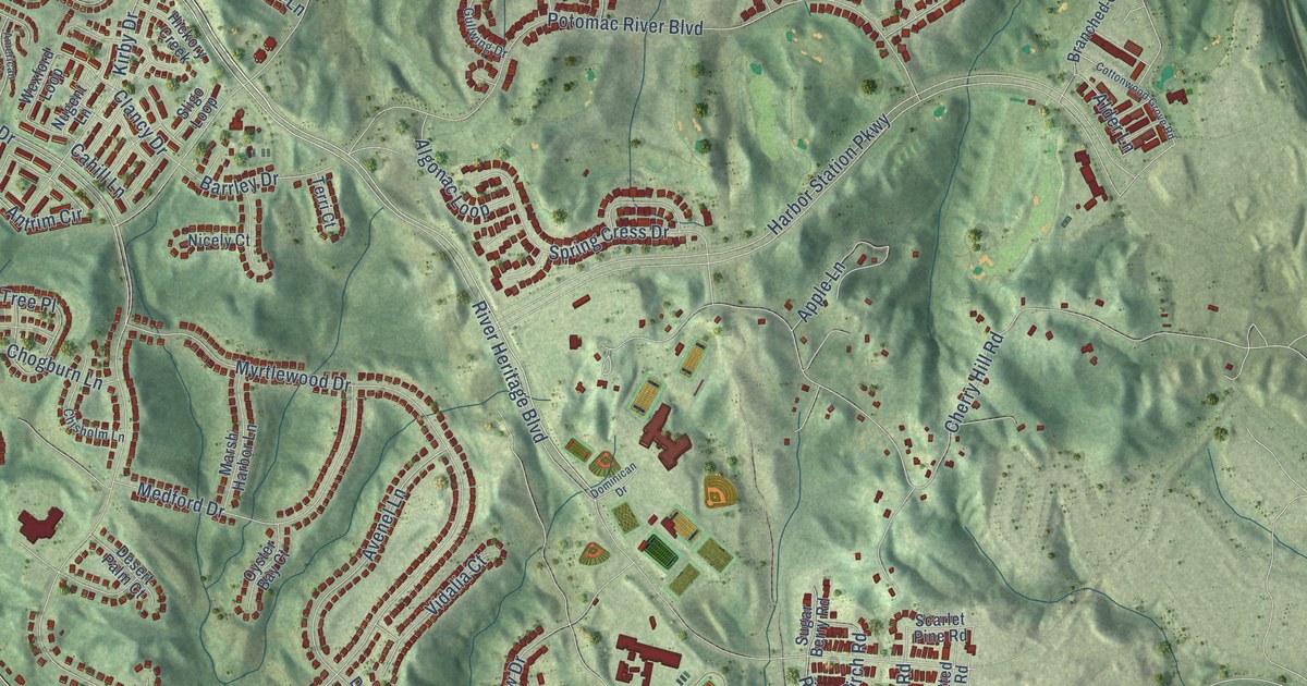
This beautifully detailed map of Cherry Hill, Virginia was created in 2026 using aerial imagery combined with modern topographical, census, street and landmark data. It’s a one-of-a-kind view of Cherry Hill that combines accurate data with a vintage aesthetic. The map shows every building in its true location, many of the roads carry their names, and the shaded topographic relief shows the shape of the land.
Explore an aerial view of Cherry Hill, Virginia
On the map you’ll find Georgetown Village and Powell’s Landing Park, along with Jefferson Davis Highway, Dumfries Road, Naples Lane, Allen Dent Road, Cherry Hill Road, New Cherry Hill Road, Yost Lane, River Heritage Boulevard, Possum Point Road, Larkin Drive, and more. If you look closely you can even find your house accurately drawn in its correct location. Zoom in on the preview to look for yours.
Did you know this piece of Cherry Hill, Virginia history?
From Virginia Places: "In 1993, Cherry Hill was a finalist as the site for a theme park, Legoland."
Take a closer look at the Cherry Hill map
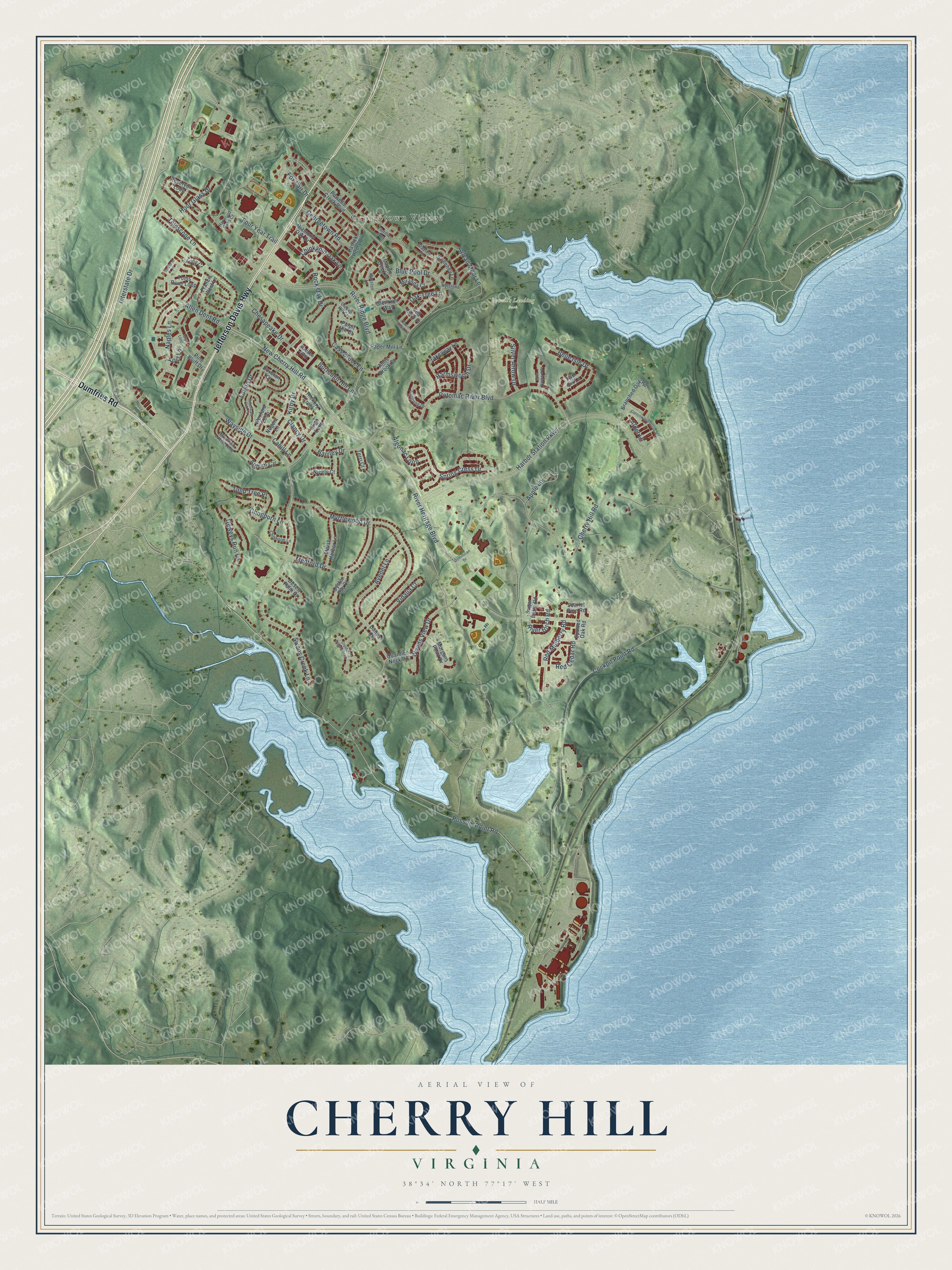
Street and place names on the Cherry Hill, Virginia map
These names are printed on the map of Cherry Hill, Virginia.
Places: Georgetown Village and Powell's Landing Park.
Streets and roads: Jefferson Davis Highway, Dumfries Road, Naples Lane, Allen Dent Road, Cherry Hill Road, New Cherry Hill Road, Yost Lane, River Heritage Boulevard, Possum Point Road, Larkin Drive, Clancy Drive, Harbor Station Parkway.
More street names, A to Z
Alder Lane, Algonac Loop, American Elm Court, Anns Brook Court, Antrim Circle, Apple Lane, Avenel Lane, Barrley Drive, Basin View Lane, Belle Isle Drive, Blue Pool Drive, Branched Oak Road, Burrough Hill Lane, Cahill Lane, Capon Tree Lane, Cass Brook Lane, Chesapeake Drive, Chinkapin Oak Lane, Chisholm Lane, Chogburn Lane, Cleeve Hill Court, Cockpit Point Road, Cottonwood Grove Road, Crystal Downs Trail, Desert Palm Court, Deweys Run Lane, Diamond Oak Drive, Dominican Drive, Dovetail Court, Dunes Court, Flotilla Way, Four Year Trail, Fox Lair Drive, Francis West Lane, Georgetown Road, Glenriver Way, Grayton Lane, Gullwing Drive, Harmsworth Drive, Harwood Oaks Court, Hickory Creek, Hour Glass Drive, Interstate Drive, Islip Loop, Kirby Drive, Madden Way, Marsh Harbor Lane, Medford Drive, Miranda Court, Miss Packard Court, Morgans Point Drive, Mountain Laurel Loop, Myrtlewood Drive, Nicely Court, Nugent Lane, Oak Tree Lane, Oyster Bay Court, Paper Mill Lane, Patrick Henry Drive, Pine Bluff Drive, Potomac River Boulevard, Powells Creek Boulevard, Pulpit Hill Court, Quantico Neck Road, Red Cedar Road, Red Mulberry Road, Reservoir Loop, River Birch Road, River Ridge Boulevard, Rock Oak Drive, Rylstone Lane, Scarlet Pine Road, Sea Lawn Place, Silver Arrow Drive, Sligo Loop, Spotted Oak Road, Spring Cress Drive, Sugar Berry Road, Swans Creek Lane, Sweeney Lane, Sylvan Moor Lane, Takeaway Lane, Telescope Lane, Terri Court, Toms River Loop, Tony Court, Tulip Tree Place, Twin Six Lane, Vidalia Court, Vineland Place, Wayside Drive, Wexford Loop, Winston Lane, Woods View Drive.
See the Cherry Hill, Virginia map on a wall
The Cherry Hill map as an 18 x 24 inch print in a black frame.

This beautifully detailed map of Cherry Hill makes an attractive addition to your office, library, or den, and it can even be used to teach children the geography and history of the area. It also makes a great gift for anyone with Cherry Hill roots. When you’re done exploring, click here to get your copy of the Cherry Hill map.