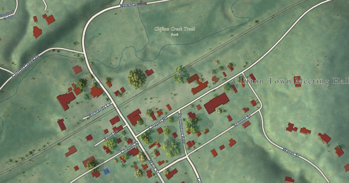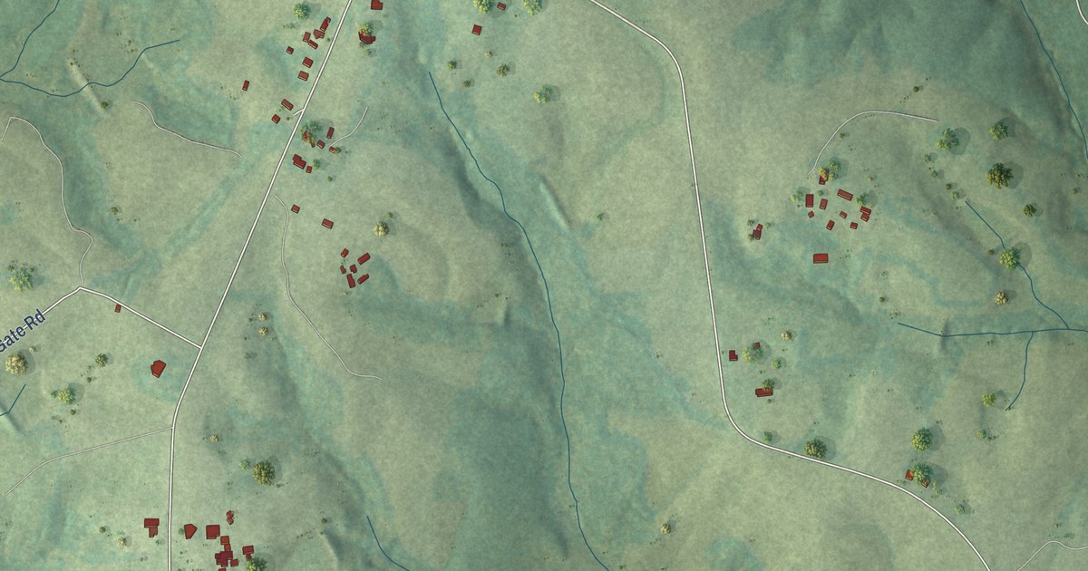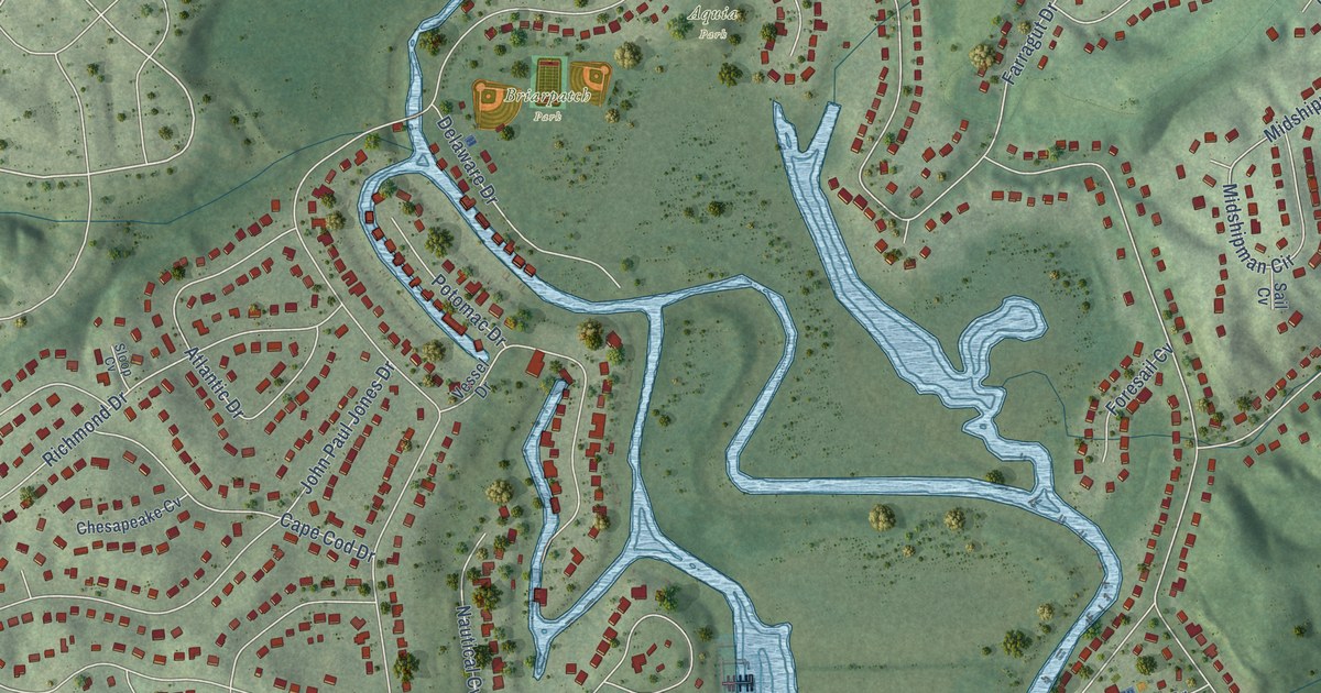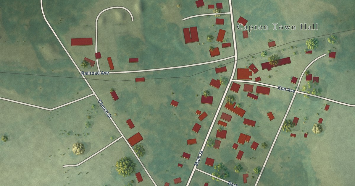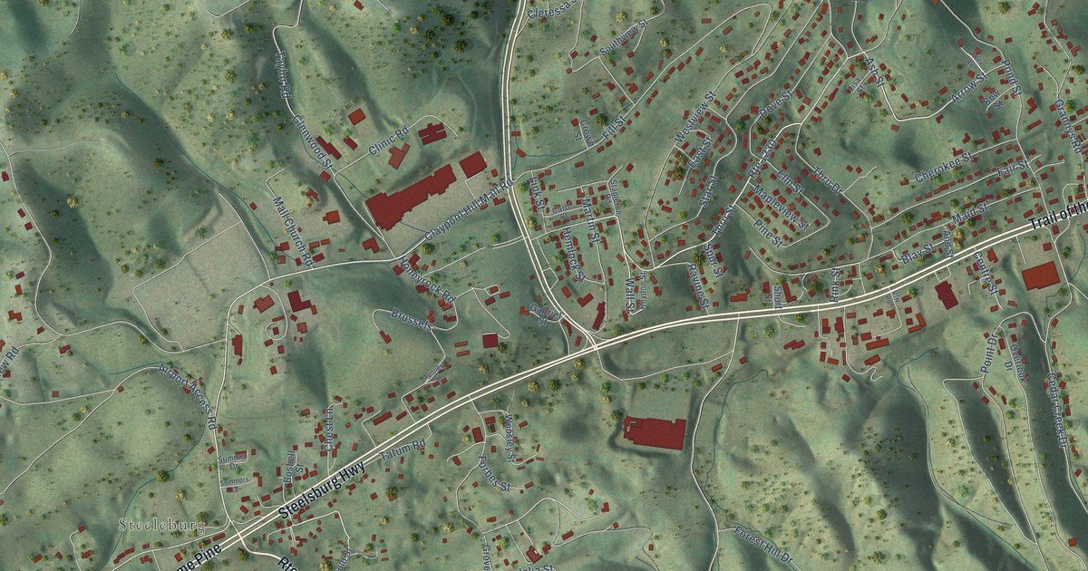
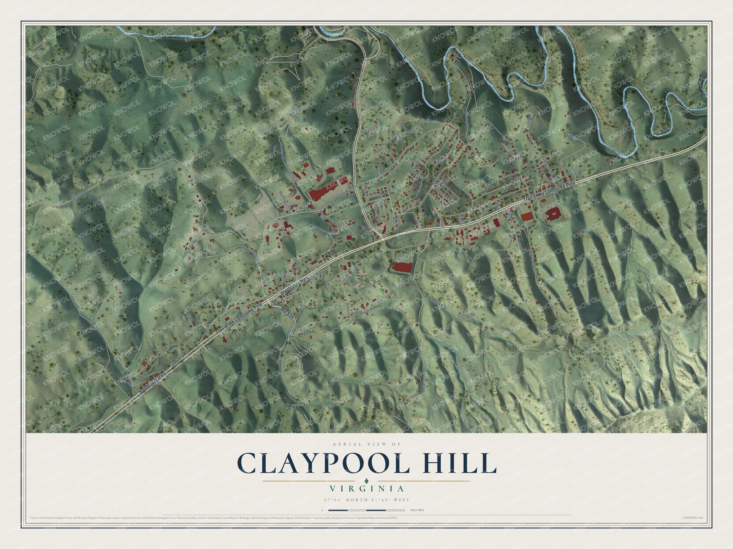
This beautifully detailed map of Claypool Hill, Virginia was created in 2026 using aerial imagery combined with modern topographical, census, street and landmark data. It's a modern aerial view of Claypool Hill in Tazewell County, Virginia, that combines modern data with a vintage aesthetic. The roads feature printed names, and if you look closely you can find your exact house accurately shown in its correct location.
Explore an aerial view of Claypool Hill, Virginia
On this map you'll find Steeleburg, Trail of the Lonesome Pine, Steelsburg Highway, Thru Street, Pond Street, Arrow Street, Claypool Hill Mall Road, Wall Street, Condor Road, Airport Road, Indian Paint Road, Estates Drive, and more. Each red shape is a building, so zoom in on the preview and look for yours.
Claypool Hill is a community in Tazewell County. The Census Bureau counted 1,699 people here in 2020. Claypool Hill sits about 2 miles southeast of Cedar Bluff, 2 miles southwest of Pounding Mill and 4 miles southeast of Richlands. The map prints the town name in its title panel, with the coordinates below it.
Take a closer look at the Claypool Hill map
Names on this map
These names are printed on this map.
Places: Steeleburg.
Streets and roads: Route 835, Trail of the Lonesome Pine, Steelsburg Highway, Thru Street, Pond Street, Arrow Street, Claypool Hill Mall Road, Route 1230, Wall Street, Condor Road, Airport Road, Indian Paint Road.
More street names, A to Z
Airport Access Road, And Street, Ash Street, Audney Street, Aztex Road, Blay Street, Boshell Street, Bow Street, Brussels, Carol Street, Cedar Creek Drive, Centre Street, Cherokee Street, Chest Lane, Cleressa Street, Clinch Drive, Clinic Road, Clinic Street, Cordelia Street, Crown Street, Dove Street, Drews Lane, East Street, Elm Street, Emery Street, Estates Drive, Fair Street, Fashion Drive, Fill Street, Forbes Street, Forest Hill Drive, Gabriel Street, Glenwood Street, Grandview Drive, Granny Drive, Grannys Road, Great View Road, Grove Street, Harold Street, Hemlock Street, Honeyrock Road, Link Street, Lisa Street, Maid Street, Mall Church Road, Mapleview Street, Martin Street, Mountain Veaw Street, Overlook Drive, Pine Street, Point Drive, Rabbit Street, Ravine Street, Rink Street, Route 834, Roydon Street, Short Street, Southview Street, Spur Street, Stapleton Road, Star Street, Summer Drive, Summers Drive, Tatum Road, Taylor Road, Three Way Lane, Thru Drive, Town Hollow Road, Vfw Road, Westview Street, Woosley Street.
See it on a wall
The Claypool Hill map as a framed print. Swipe for more.


Created by KNOWOL in 2026. The buildings are small red shapes, the roads carry their printed names, and shaded relief shows the shape of the land. The title panel reads "AERIAL VIEW OF CLAYPOOL HILL, VIRGINIA" with 37°04' NORTH 81°45' WEST.
It looks right in a kitchen, an office or a den, and it's a gift for anyone who grew up in Claypool Hill or moved away. Open the preview and find your street. See sizes and frames for the Claypool Hill map.