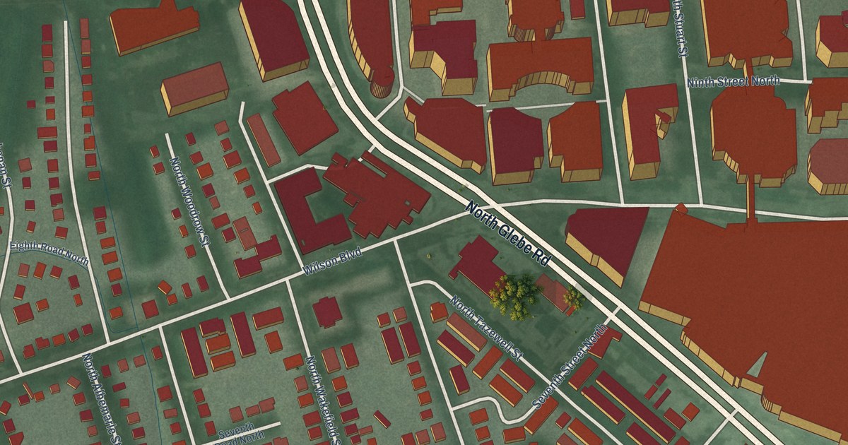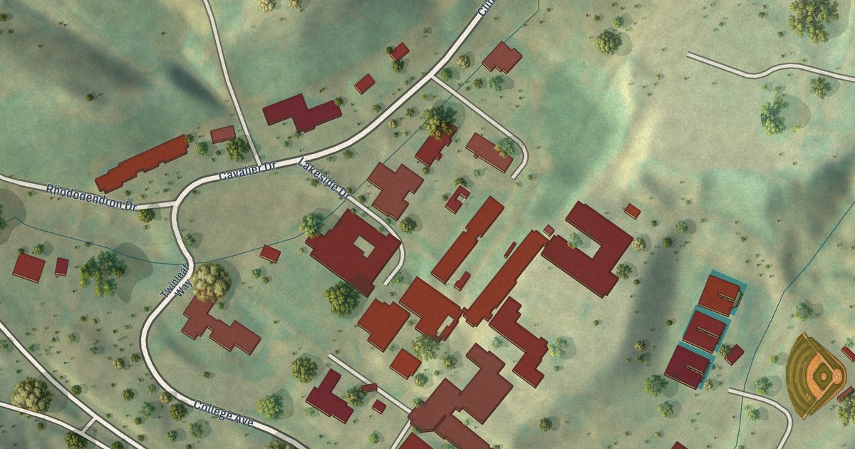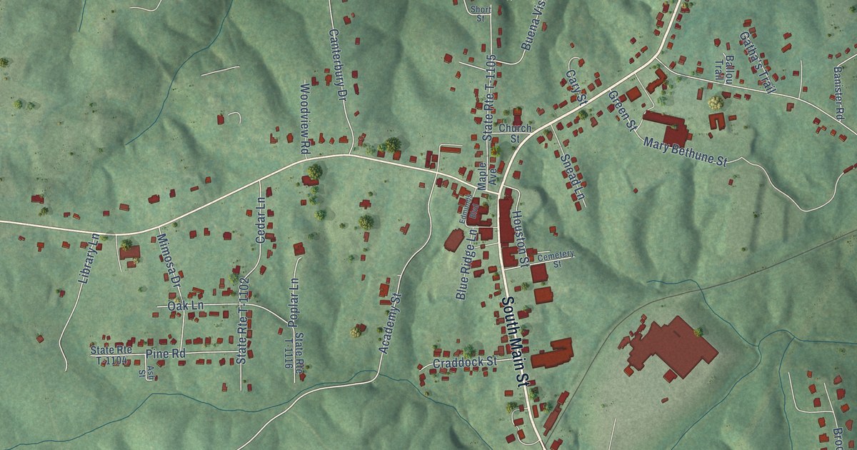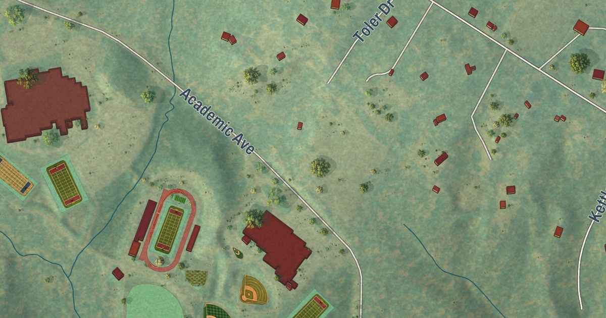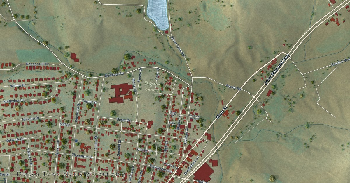
This beautifully detailed map of Dayton, Virginia was created in 2026 using aerial imagery combined with modern topographical, census, street and landmark data. It’s a one-of-a-kind view of Dayton that combines accurate data with a vintage aesthetic. The map shows every building in its true location, many of the roads carry their names, and the shaded topographic relief shows the shape of the land.
Explore an aerial view of Dayton, Virginia
On the map you’ll find Dayton Town Municipal Building, Dayton Cemetery, and Stemphleytown, along with Ottobine Road, Main Street, John Wayland Highway, Mason Street, Bowman Road, Huffman Drive, Meigs Lane, Sunset Drive, South & West Drive, and more. If you look closely you can even find your house accurately drawn in its correct location. Zoom in on the preview to look for yours.
Did you know this piece of Dayton, Virginia history?
Daniel Harrison was the first settler at Dayton, and his family made a home along Cooks Creek. His brother Thomas founded Harrisonburg, a few miles to the northeast. Until 1833 the town was known as Rifeville or Rifetown.
Take a closer look at the Dayton map
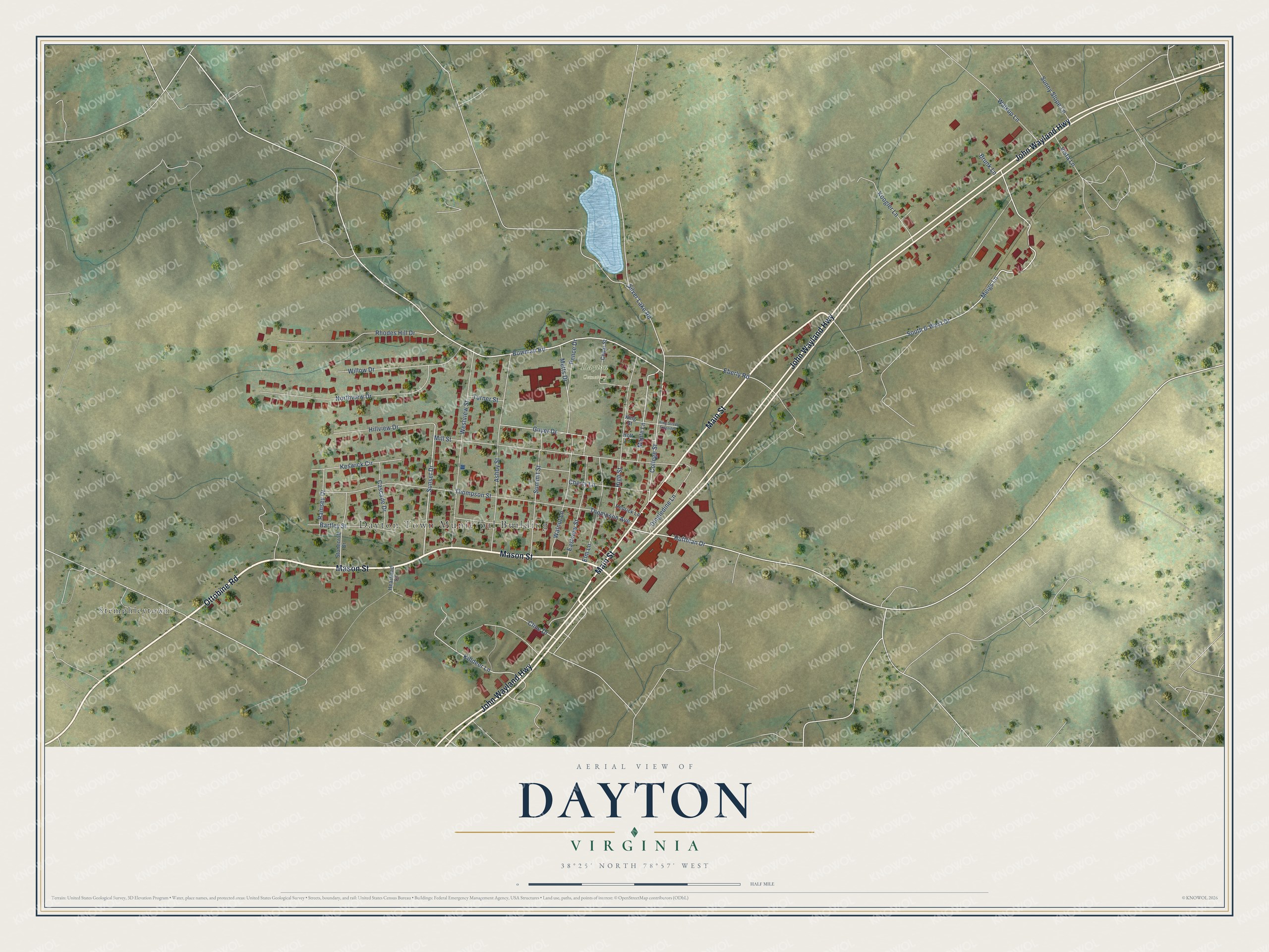
Street and place names on the Dayton, Virginia map
These names are printed on the map of Dayton, Virginia.
Places: Dayton Town Municipal Building, Dayton Cemetery and Stemphleytown.
Streets and roads: Ottobine Road, Main Street, John Wayland Highway, Mason Street, Bowman Road, Huffman Drive, Meigs Lane, Sunset Drive, South & West Drive, Killdeer Lane, College Street, Mill Street.
More street names, A to Z
Ashby Street, Bartley Street, Brunk Lane, Cascade Drive, Cedar Street, Cherry Lane, Cline Drive, Dingledine Lane, Eastview Street, Eberly Road, Elm Lane, Guyer Drive, Heartland Court, Hedrick Lane, High Street, Hillview Drive, Hott Lane, Keswick Circle, King Street, King Street Extended, Koogler Lane, Maple Lane, Metts Drive, Northview Drive, Pence Drive, Ramsey Drive, Rhodes Hill Drive, Silver Lake Road, Stonecroft Drive, Summit Street, Sunny Slope Lane, Thompson Avenue, Thompson Street, Turner Street, Vista Lane, Walkup Lane, Walnut Lane, Westview Street, Willow Drive.
See the Dayton, Virginia map on a wall
The Dayton map as an 18 x 24 inch print in a black frame.

This beautifully detailed map of Dayton makes an attractive addition to your office, library, or den, and it can even be used to teach children the geography and history of the area. It also makes a great gift for anyone with Dayton roots. When you’re done exploring, click here to get your copy of the Dayton map.